
Quick report
- Cracking
- isolated
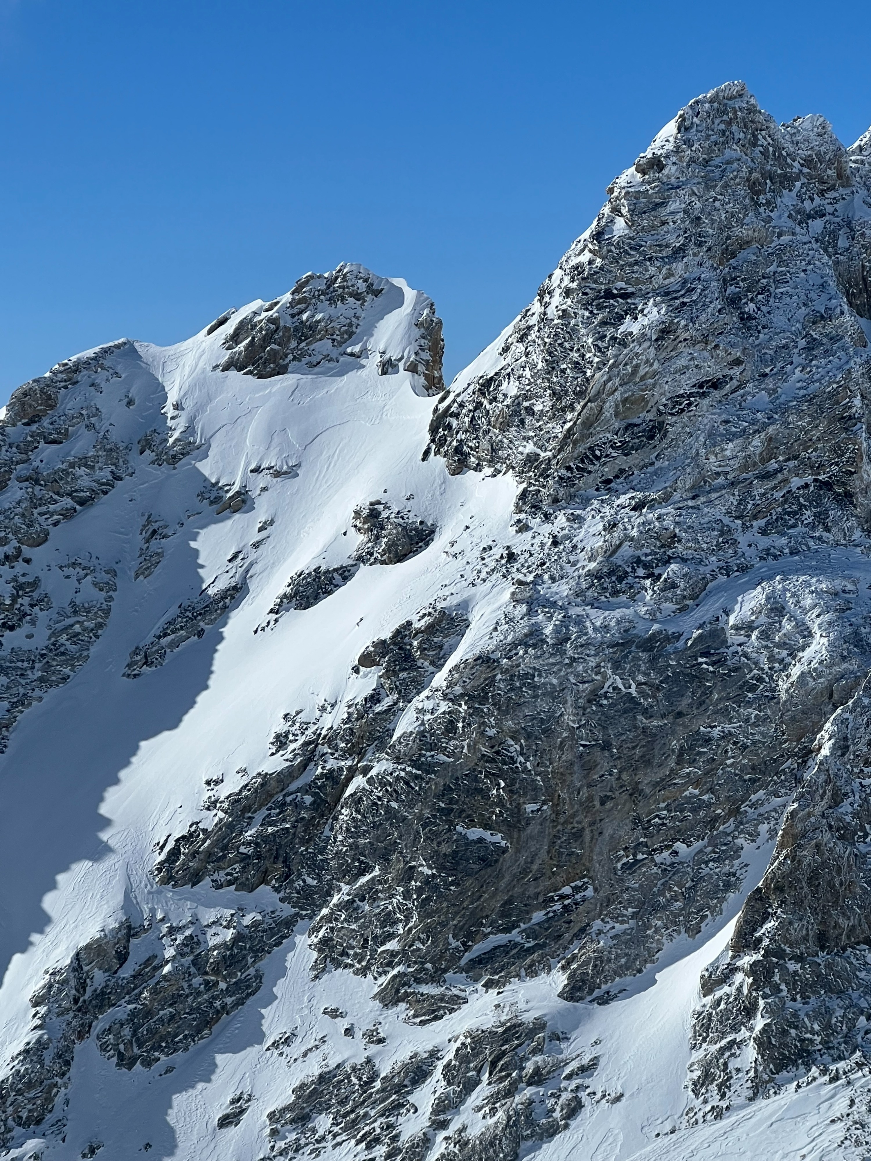
The primary concern heading out the door early was increased wind forming fresh slabs. Last night, W/NW wind increased to 19-29 mph for a 10 hour period (JHMR Summit weather station). Wind affect was very obvious up Garnet as it usually is, and wind slabs were found in the canyon itself. Slabs were 4-10" deep with easy Q1` hand shear tests failing on multiple different density breaks above 10,000'. Recent snow amounts increase drastically in the alpine with ~12" of snow at 11,000' and closer to 16" around 12,000' on terrain protected from the wind. This means wind slab depths above the forecast zone in the alpine could be over a foot deep and large.
Snow surfaces were still dry in the am in the upper elevations thanks to cloud cover previous days. Recent snow was still sloughing easily on very steep terrain. Lots of wind scour found on N-W aspects creating alpine variable snow surfaces. Snow surfaces began warming by 10:00-11:00 from E-S aspects . Moist snow was found by 11:00 in the lower and middle elevations (get your skin wax out). We departed the mountains early but I would expect some wet loose activity in the afternoon as the recent snow sheds on W-S-E aspects.
Wind slabs will remain more sensitive the higher you travel in elevation tomorrow as they will not be influenced as significantly by solar and increasing temperatures this afternoon. Watch for these wind slabs to increase in reactivity in the afternoon with warming temperatures as well.
Cracking surfaces on isolated E aspect wind loaded terrain.