
Quick report
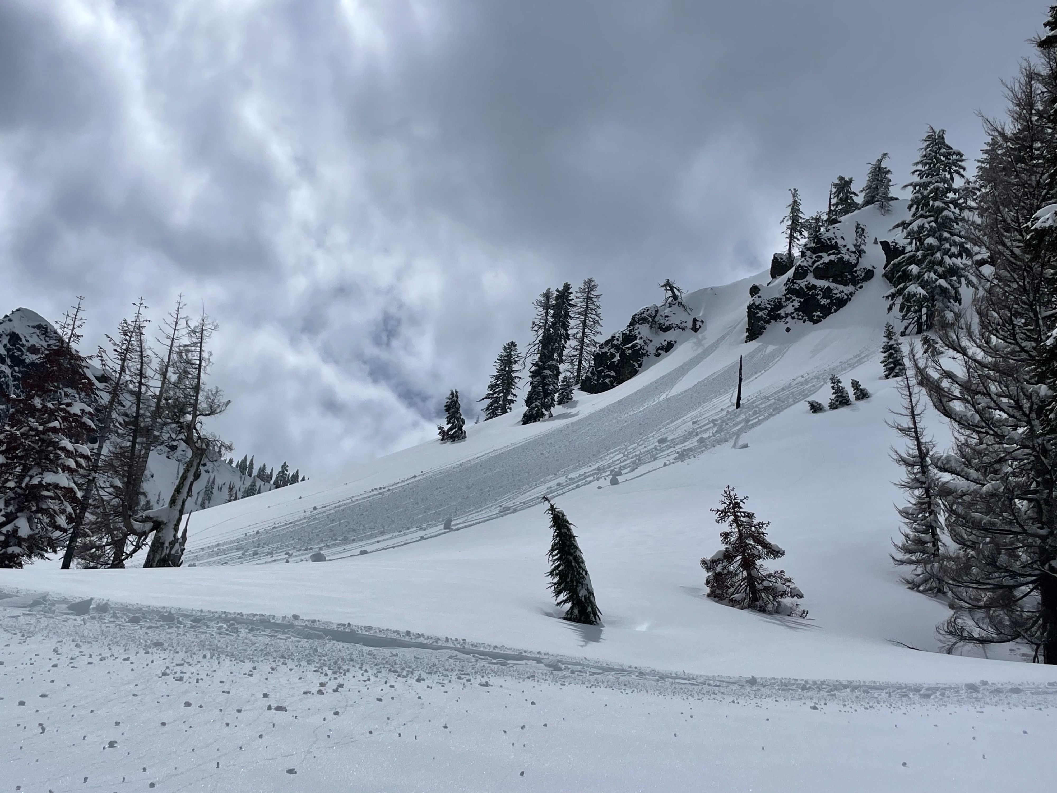
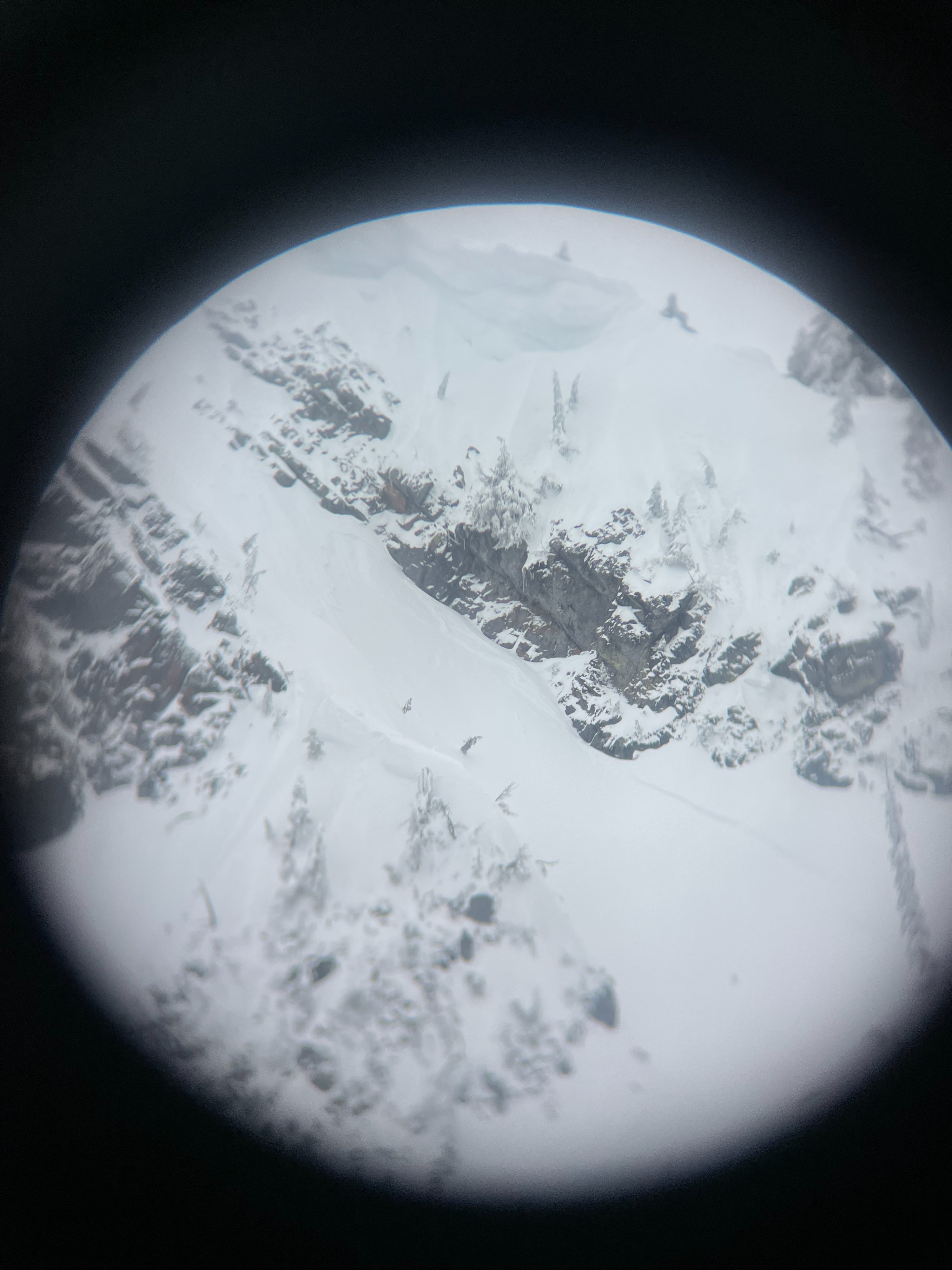
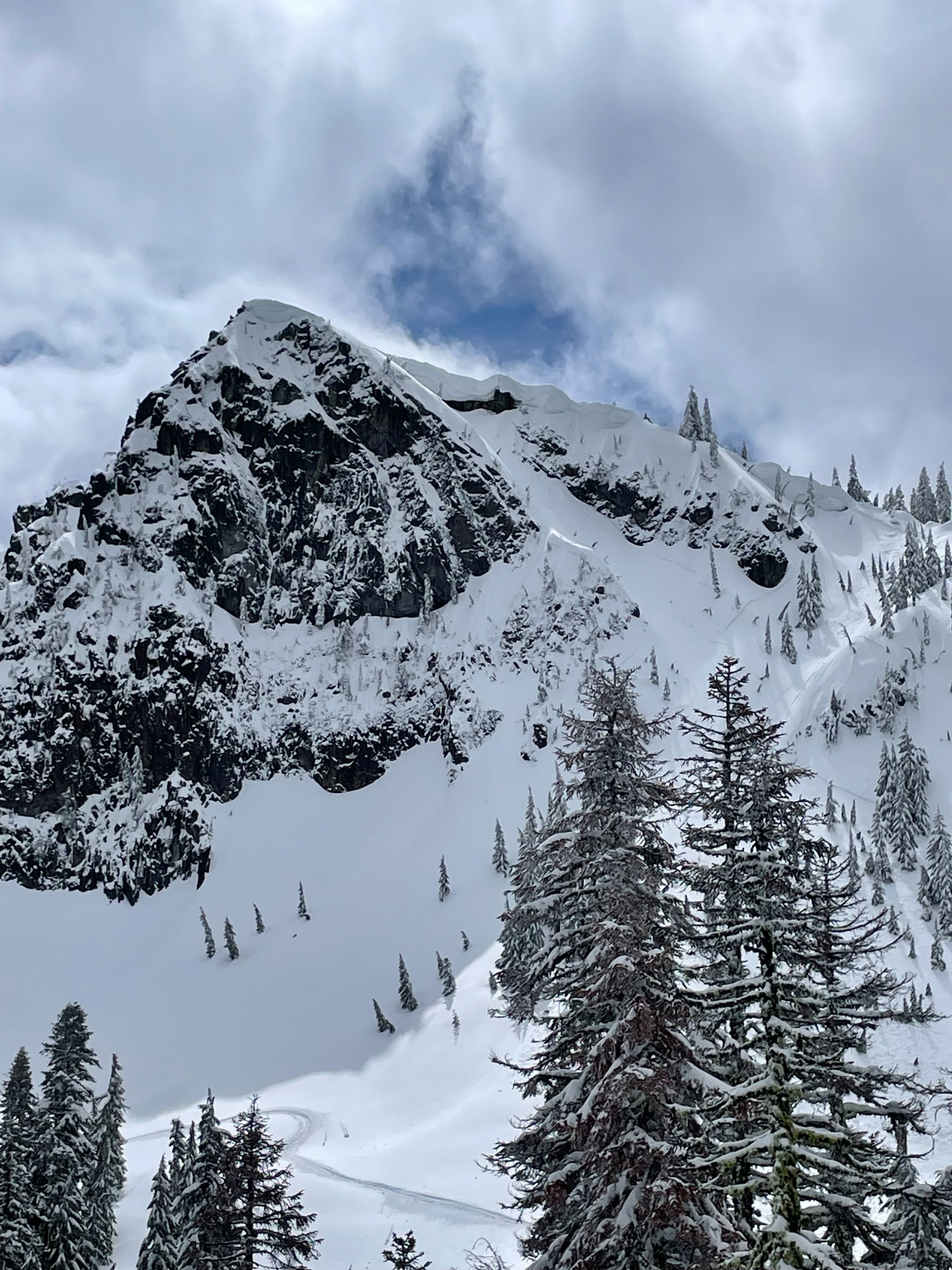
Today, forecasters explored the eastern perimeter of the forecast area in search of lingering new snow instability and rising wet instability. For the most part, any new snow instability has come and gone. The recent 8-10 inches of snow is bonding well to the old snow, showing no significant signs of weakness. However, a natural avalanche cycle likely occurred in the last 36 hours, leaving visible crowns on many northerly facing steep slopes. As suspected, wet instability is on the rise. With warming temperatures through the day, E-SE-S aspects were quick to develop dampening surface snow, with rollerballs occurring naturally and triggered by snowmobile.
With a warming trend expected the next few days, wet instability will likely rise with it.
Around 8–10 inches of fresh snow (from 3/31-4/1) was found across the east end of the forecast area. In the Dry Creek drainage, many old crowns exist on northerly aspects, having likely occurred in the last 36 hours. Most of these releases were relatively shallow (less than 1 foot), suggesting it was the recent new snow sliding on the old snow interface. Roller balls, pinwheels developed on E-SE-S aspects in the afternoon.Weather
- Cloud Cover
- broken
- Wind Loading
- none
- Recent Snowfall
- 20-25 from April 1
- Snow Avail For Transport
- moderate amounts
The day started with cloud covered skies, below freezing temperatures, and calm/unnoticeable wind. Into the afternoon, skies turned broken, with direct sunlight off and on. Temperatures climbed above freezing, wind remained calm.
Snowpack
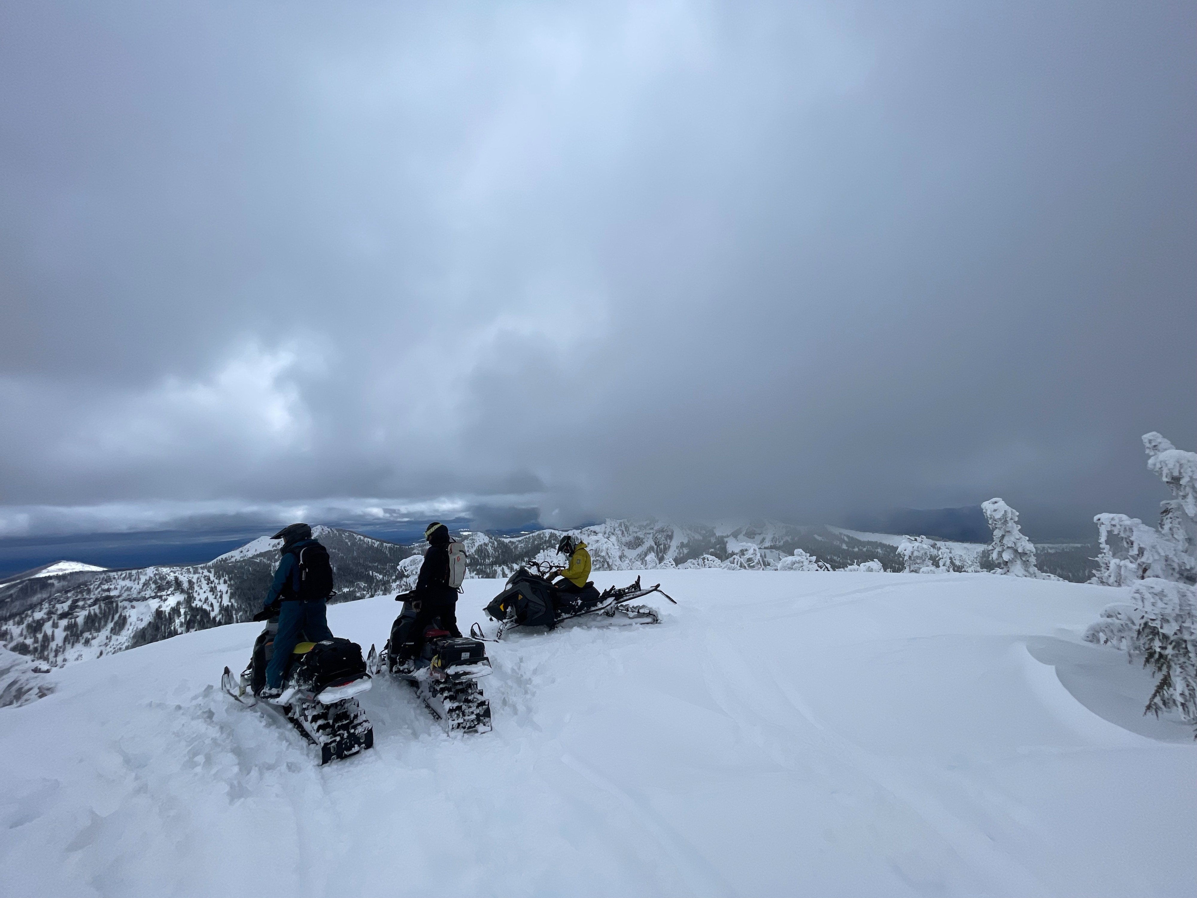
The snowpack is significantly deeper in the Dry Creek area compared to the last time we visited (mid January). The above average coverage allowed for easy snowmobile travel.