
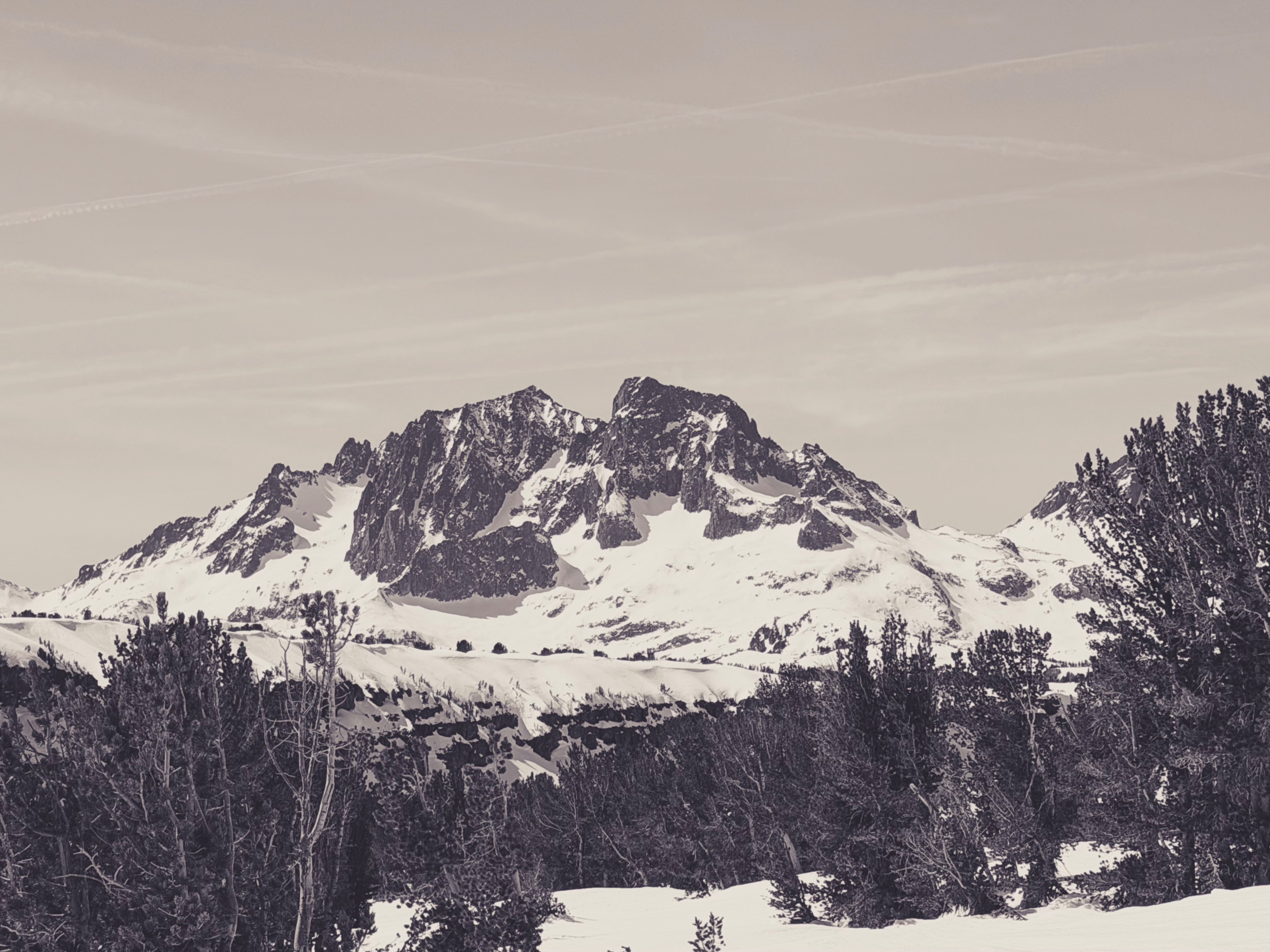
Quick report
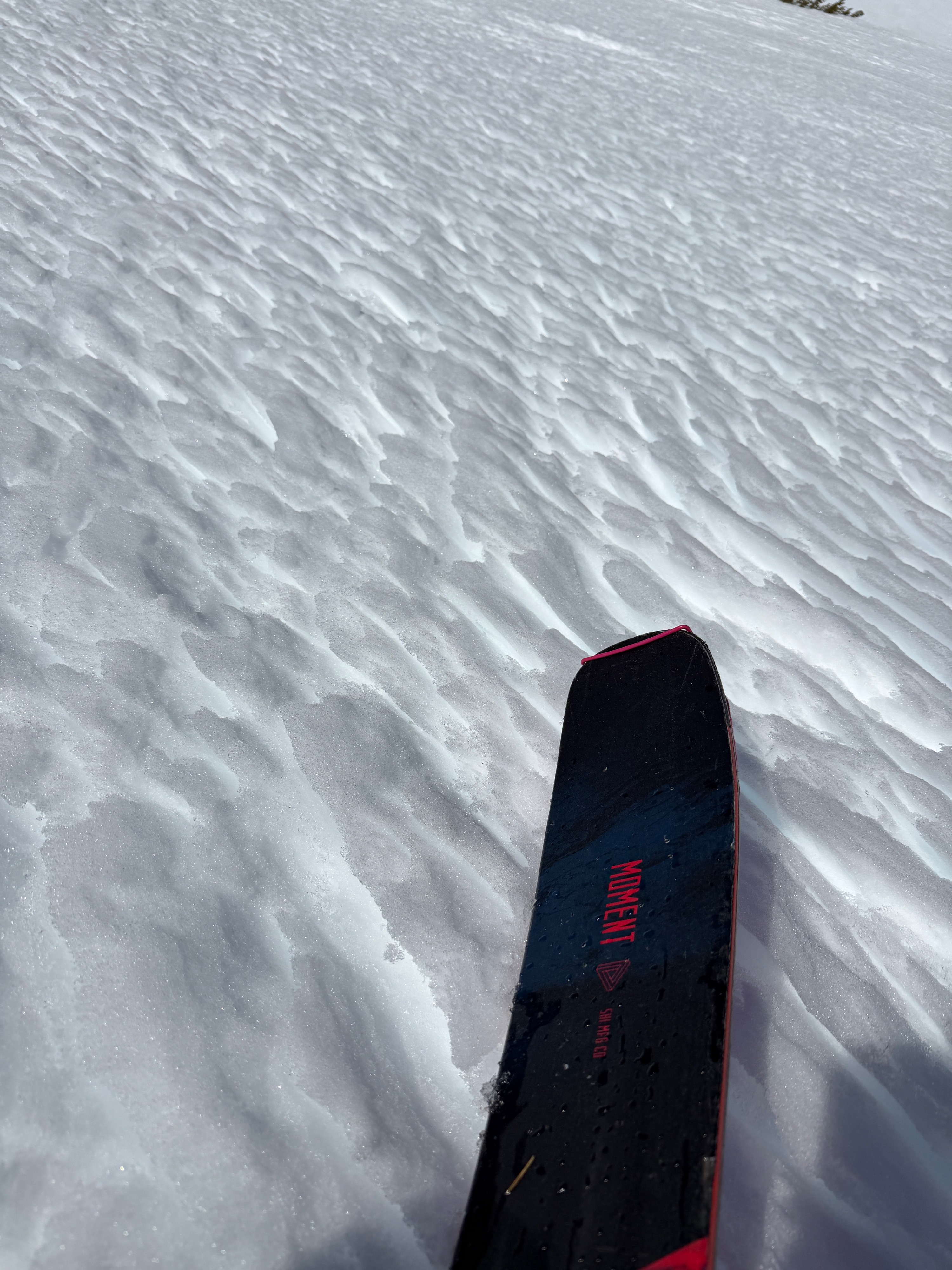
Things were a bit slower to soften today, with light northerly winds and some cloud cover. I found a softening surface around 10 am on southerlies and low-angle slopes in the sun.
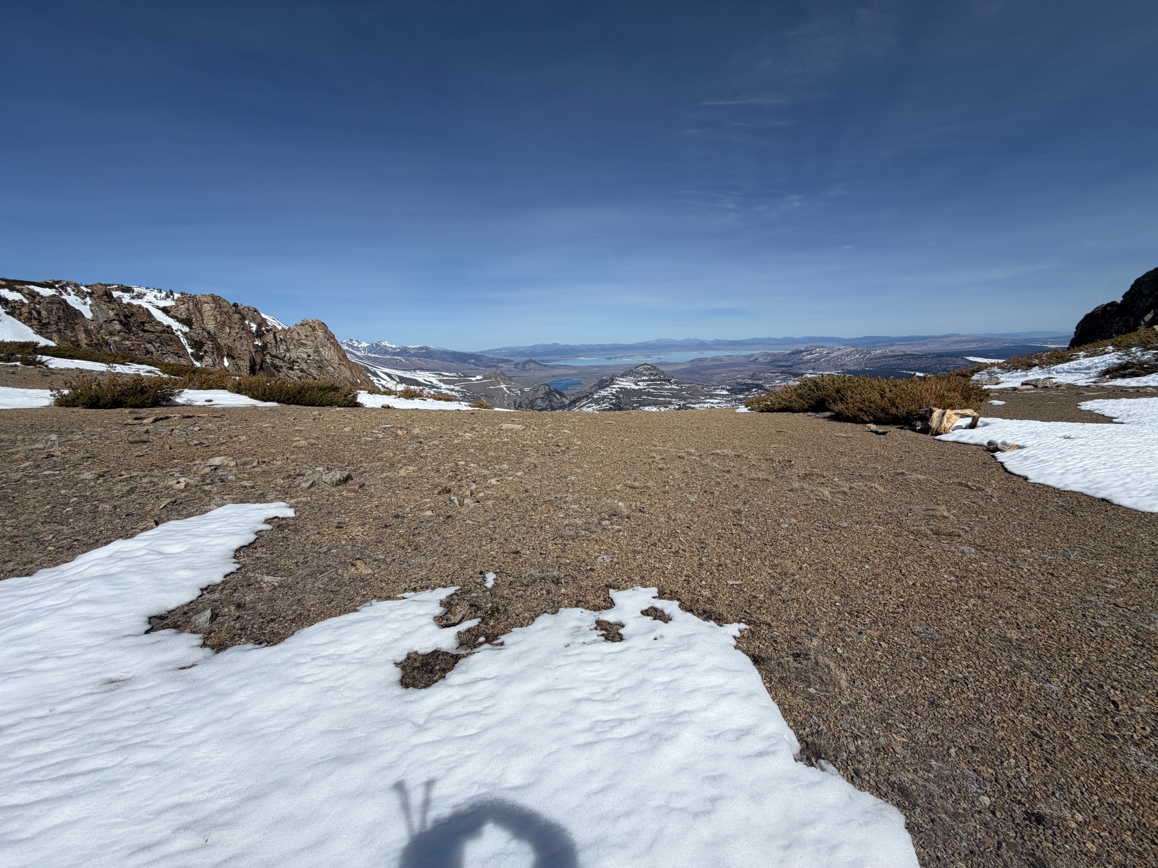
At 11:30 am at 11600' on top of San Joaquin, gusty moderate north winds made the wind chill cold. I took a shaded air temperature of 29 degrees F and noted that only southerly aspects were soft at the surface. Patches of snow on west, north, and east-facing aspects were still rigid and frozen.
Around 1 pm, I found a softening and fun surface on north-facing terrain below 9400'. As I continued descending, coverage became a contender, and I had to do some creative snow patch connecting before I gave up and began to walk.
I found no signs of instability.Weather
- Air Temp
- 56
- Cloud Cover
- few
- Wind Loading
- none
- Recent Snowfall
- 0
- Snow Avail For Transport
- none
Beautiful day. Temperatures were abated by light north winds in the morning. The light northerly gusted moderately above 11000', making the wind chill feel cold. Partly cloudy skies, with more consistent cloud cover south of June.
Snowpack
I wanted to confirm that the distribution of dry snow below our upper melt-freeze complex is largely confined to northerly aspects. I dug a hole on an east-facing aspect at ~10200' and found:
- A generally firm (1F to Pencil) brick of a snowpack. Melt forms, melt-freeze crusts, and layers refrozen meltwater comprised the top 120cm.
- The top 120cm was moist throughout.
- At 12:30 pm, the top 5cm had softened and was wet above a still frozen melt freeze crust near the surface
- I was not able to discern the 2/10 interface in the top 120cm.
Near treeline, it's likely that meltwater has already percolated through the majority of our snowpack on due east aspects.