
Quick report
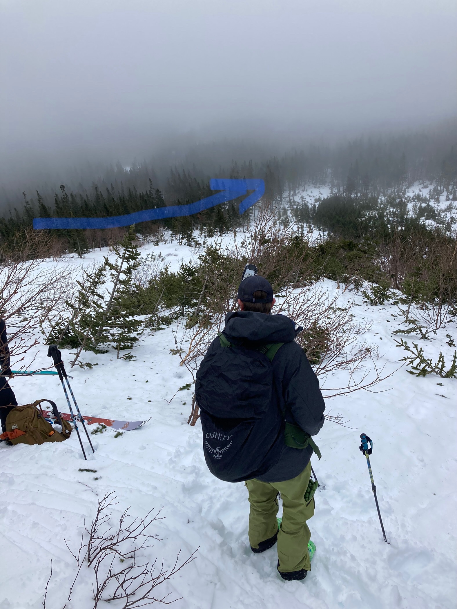
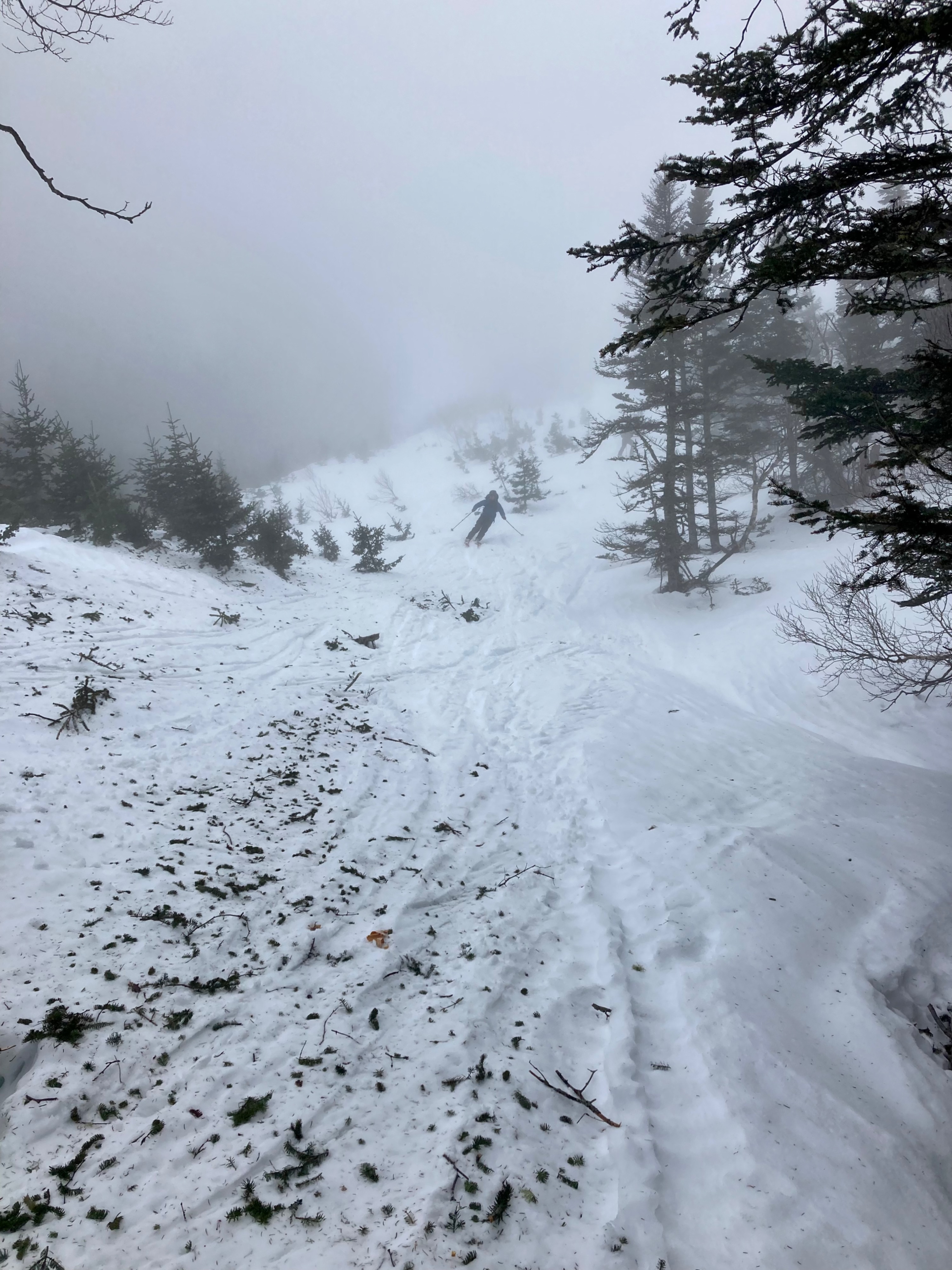
Our AIARE 1 Course managed to enjoy the terrain during a 4-hour stretch of dry weather today. During breaks in the fog, we were able to see a noticeable decrease in snow coverage in some areas above Hojos. Duchess may have avalanched yet again, as a big bare spot was briefly seen in upper section. We toured into the lower part of Hillman’s Highway via the avalanche runout zone that is on the climber’s left (south) of the Sherburne trail. I believe this clearing was created or enlarged during a large avalanche in 2015. For a few years after, one was able to ski laps in this area since it was newly cleared of trees. As brush and trees have grown back in, I haven’t made turns in the spot in a few seasons. My history of this area is based on my recollection and may not be 100% accurate. We noticed old debris and broken trees in this area from last week’s avalanches. The spread of shredded vegetation beyond the debris seemed to suggest that an air blast may have occurred. In my experience, only very large avalanches generate a noticeable air blast. We skied out through the 2015 avalanche zone from low in the gully. The snow was very wet for quite a distance into the snowpack. Turns we’re soft, but warm temperature ski wax would have been nice! The Sherburne had good coverage all the way to the car.
Weather
- Air Temp
- 40
- Cloud Cover
- obscured
- Wind Loading
- none
- Rain Elevation
- 6288
- Recent Snowfall
- 0
- Snow Avail For Transport
- none
The wet snow did not seem likely to be transportable by the wind.