
Quick report
Today we went up to the Tunnel Ridge to do a wellness check on the wind station.
- We observed two wet debris piles on southerly-facing aspects. I suspect these occurred on Monday, February 19th. No crowns were visible in the upper start zones. These were likely Wet Loose.
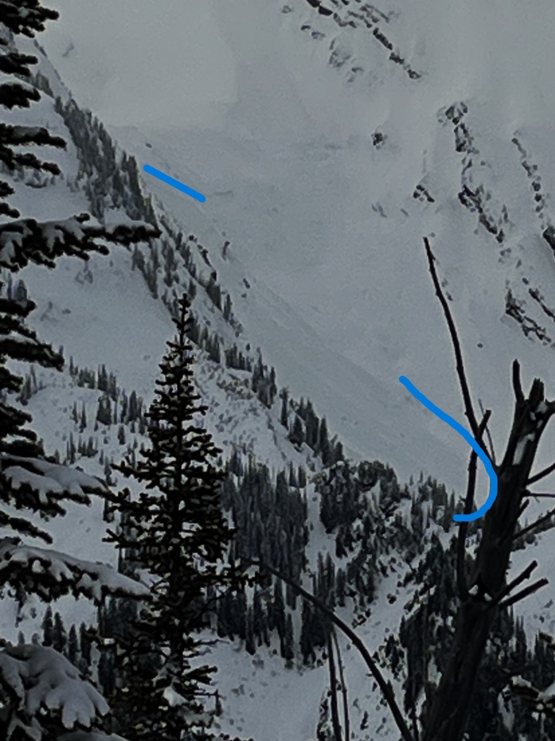
- Observed one natural slab avalanche on a ramp off of Mt. Grant. The crown appeared to be at roughly 6400 feet on a northeast aspect. Flat light made it difficult to get any quality photos.
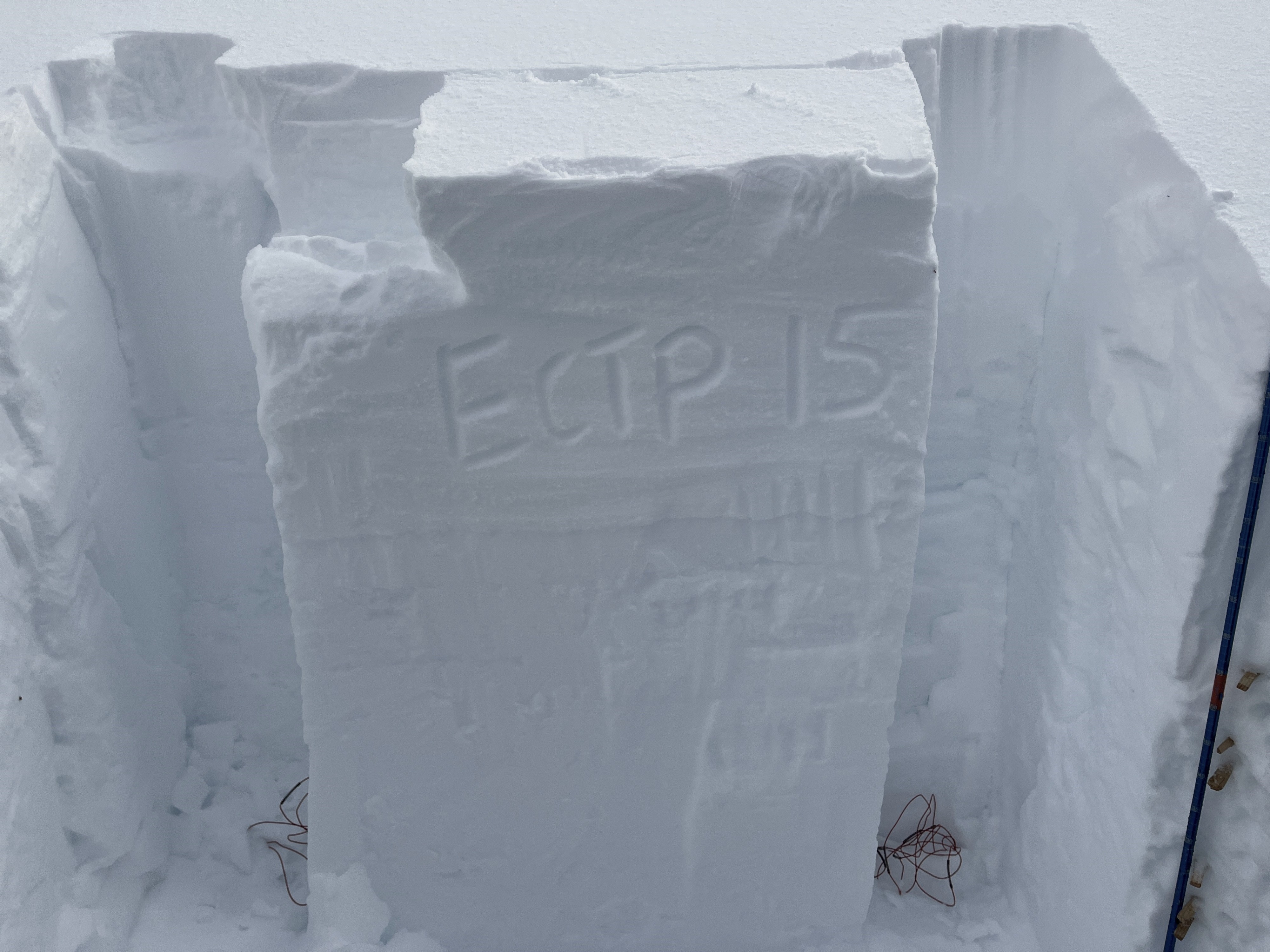
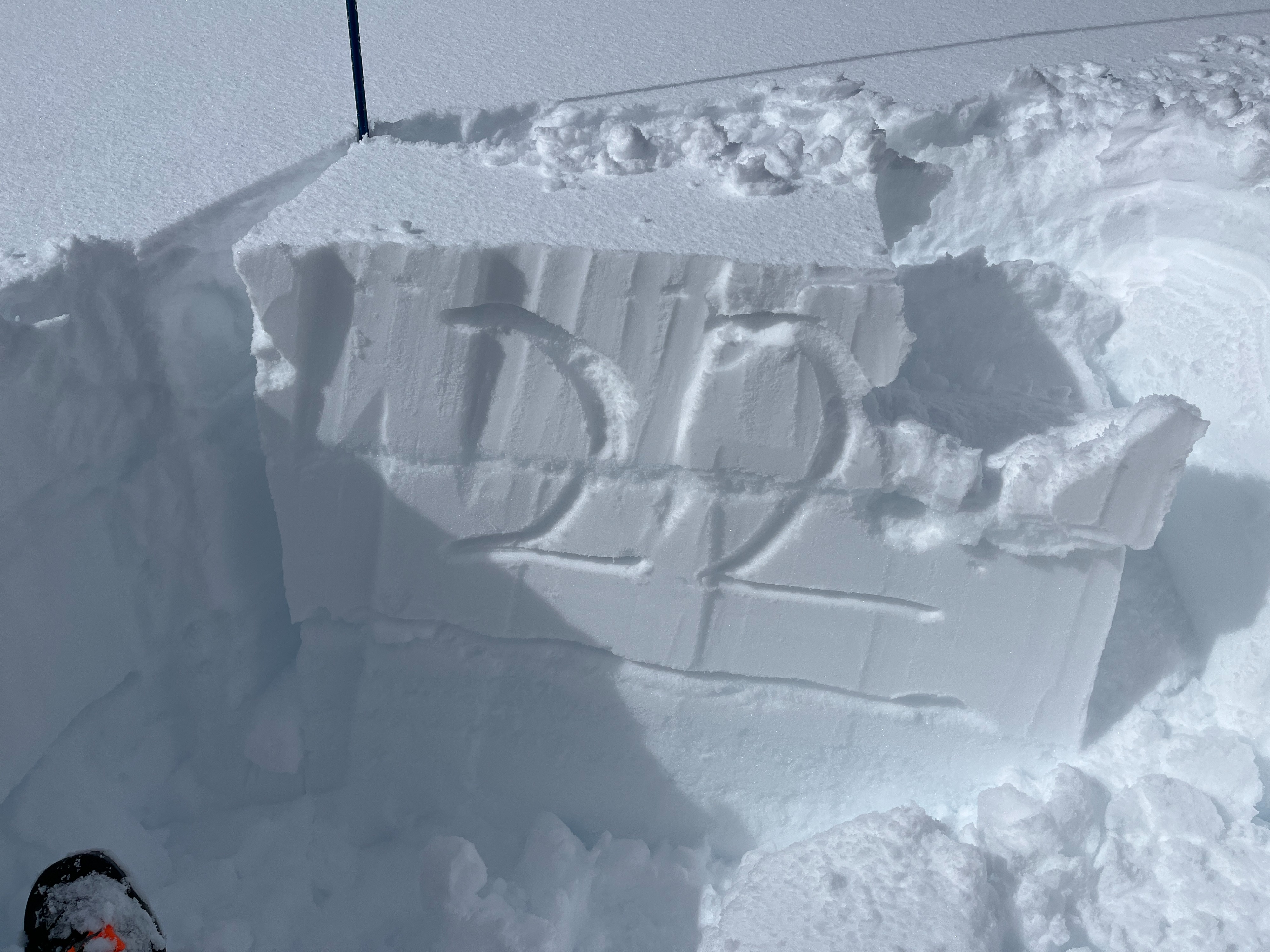
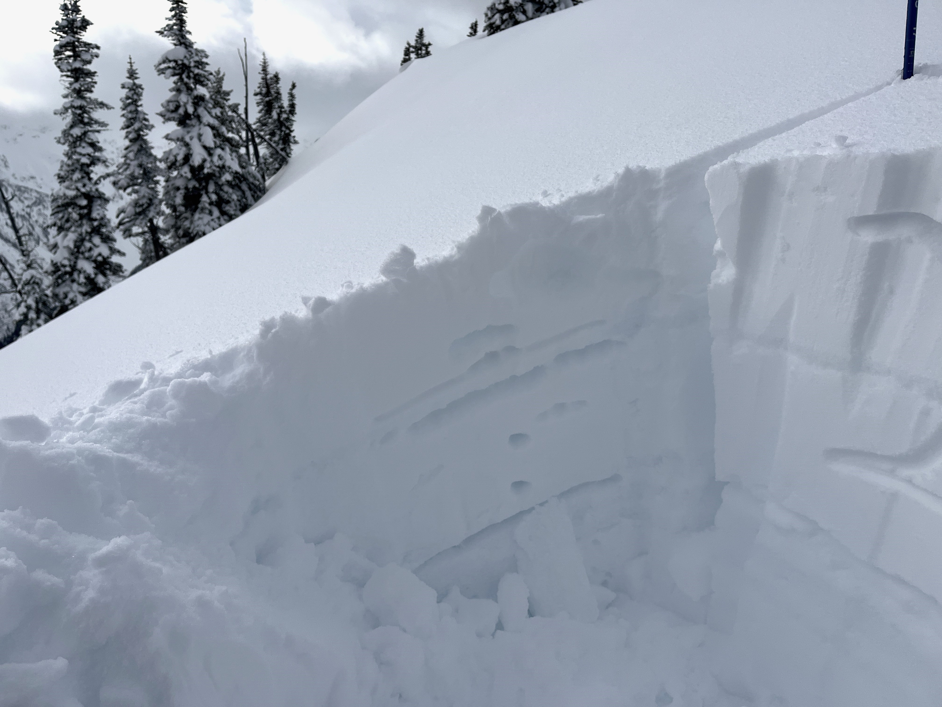
- Snowpit tests on both north and south aspects revealed unstable results. Both snowpits failed on facets and surface hoar above the early February crust.
The upper snowpack structure is not inspiring. Although facets are showing signs of rounding, extended column tests had some energy when they propagated.
Weather
- Cloud Cover
- scattered
- Snow Avail For Transport
- small smounts
Partly Cloudy and warm temperatures.
Snowpack
We dug two snowpits at roughly 6800 feet.
- South aspect: ECTP22 down 50 cm. This failed on a layer of near-surface facets and surface hoar just above the early December Crust.
- Northeast Aspect: ECTP15 down ~60cm. Please look at the profile for more information.
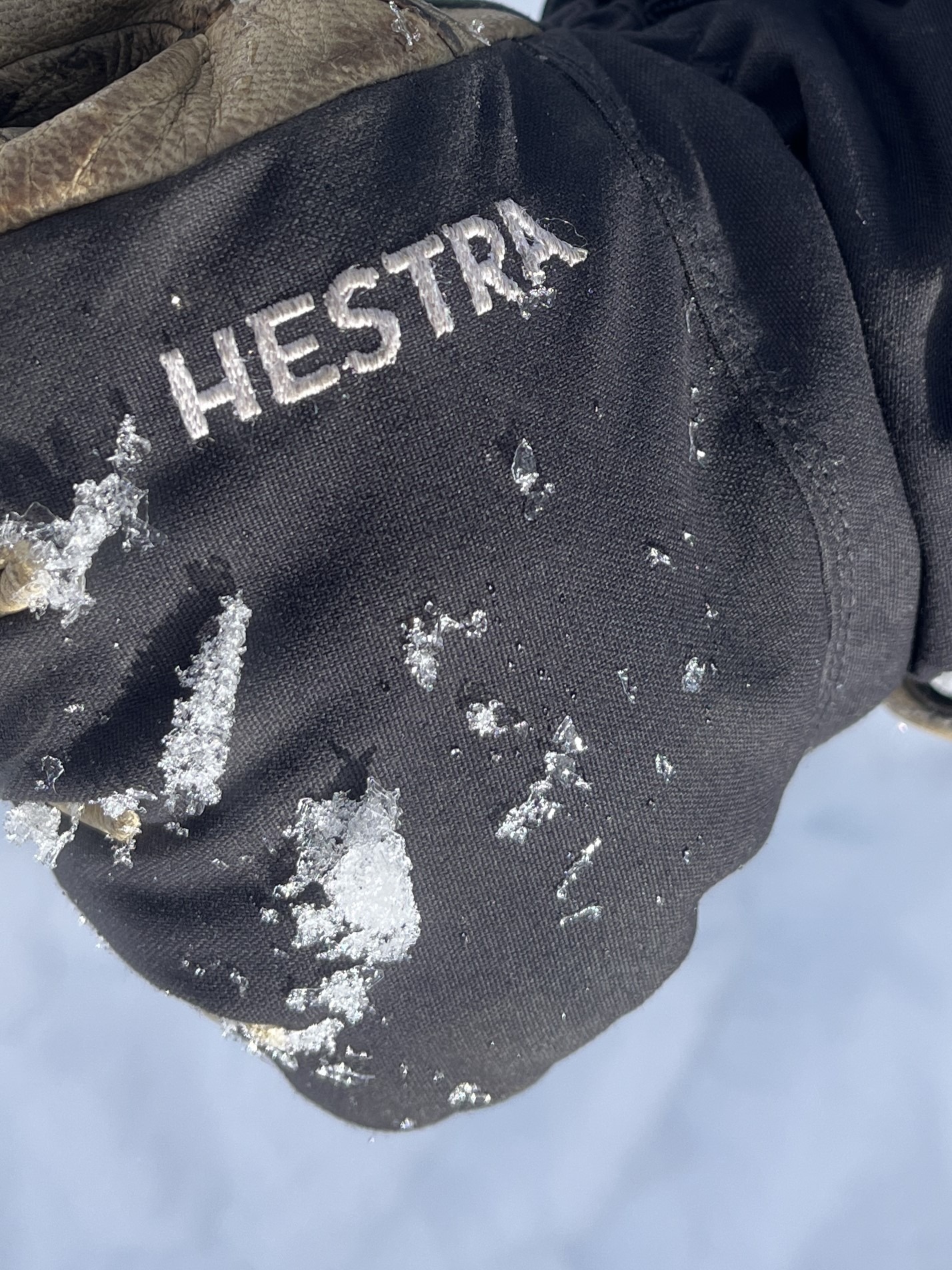
Warm temperatures are settling the upper snowpack. There was a superficial melt-freeze crust up to roughly 5000 feet this morning. By 3 pm surfaces became moist below roughly 5500 feet.
Avalanche
- Size
- D2
- Type
- SS
- Count
- 2
- Aspect
- NE
- Trigger
- N
- Elevation
- 6400 ft
Likely failed sometime after temperatures warmed on February 17th. Unknown. I suspect it failed on facets above the early December crust.