
Quick report
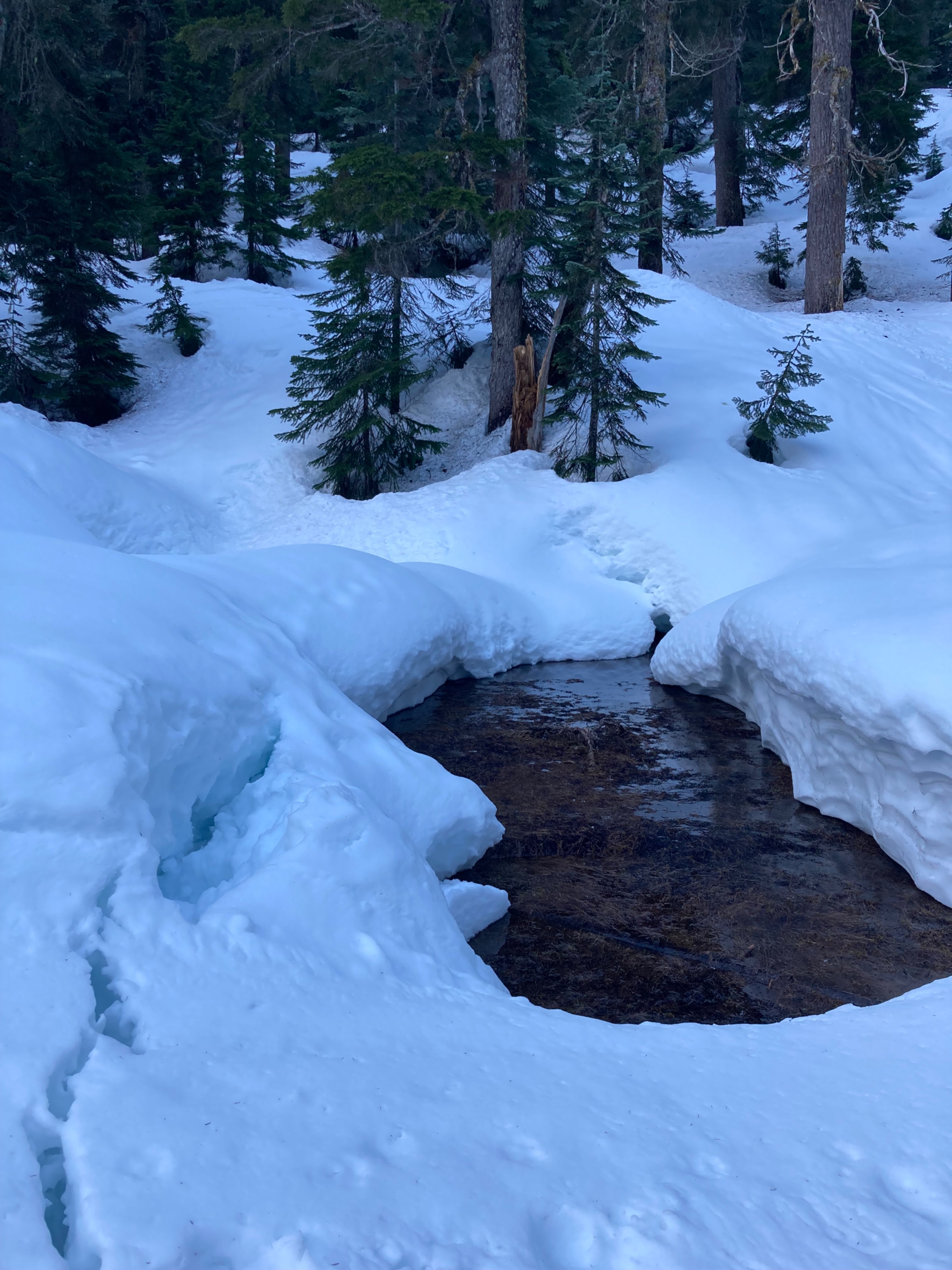
I originally planned to head up to Snow Lake Divide for this early morning outing, but was surprised by just how little snow surfaces refroze, given that I assumed slopes saw clear weather overnight . Flowing water covered most rocky surfaces and snow bridges over creeks were sagging. Snow around Source Lake Basin had only gotten a superficial refreeze, which was mostly ski supportable, but beneath this was unconsolidated and slushy - boot pen was to my thigh in places and it was only 8AM. Given that I was solo today, I made the conservative decision to dig some speedy pits around Source Lake, and then scoot back to the trailhead before the temps warmed even more and bumped up any likelyhood of overhead hazards or collapsing creek crossings posing issues for me on my exit. I left the field around 9AM.
Weather
- Air Temp
- High 30s
- Cloud Cover
- few
- Wind Loading
- none
- Rain Elevation
- N/A
- Recent Snowfall
- 0
- Snow Avail For Transport
- none
Sunny and warm morning. No wind.
Snowpack
One of my main curiosities today was seeing how far along our spring transition is, and figuring out where I might still find a layered, winter-like snowpack. Sure enough, I found a layer of moist rounds about 60cm down from the surface in the pit I dug on a NE aspect. I am guessing, given what I found at 3800', that the snowpack at higher elevations on shaded aspects would also have still-transitioning layers. The pit I dug on a SE aspect had fully transitioned to melt forms, but there were still defined crust layers, and zones of pooling water. In fact, both locations had a layer of pooling water leading to a slusy, weak interface.
Avalanche
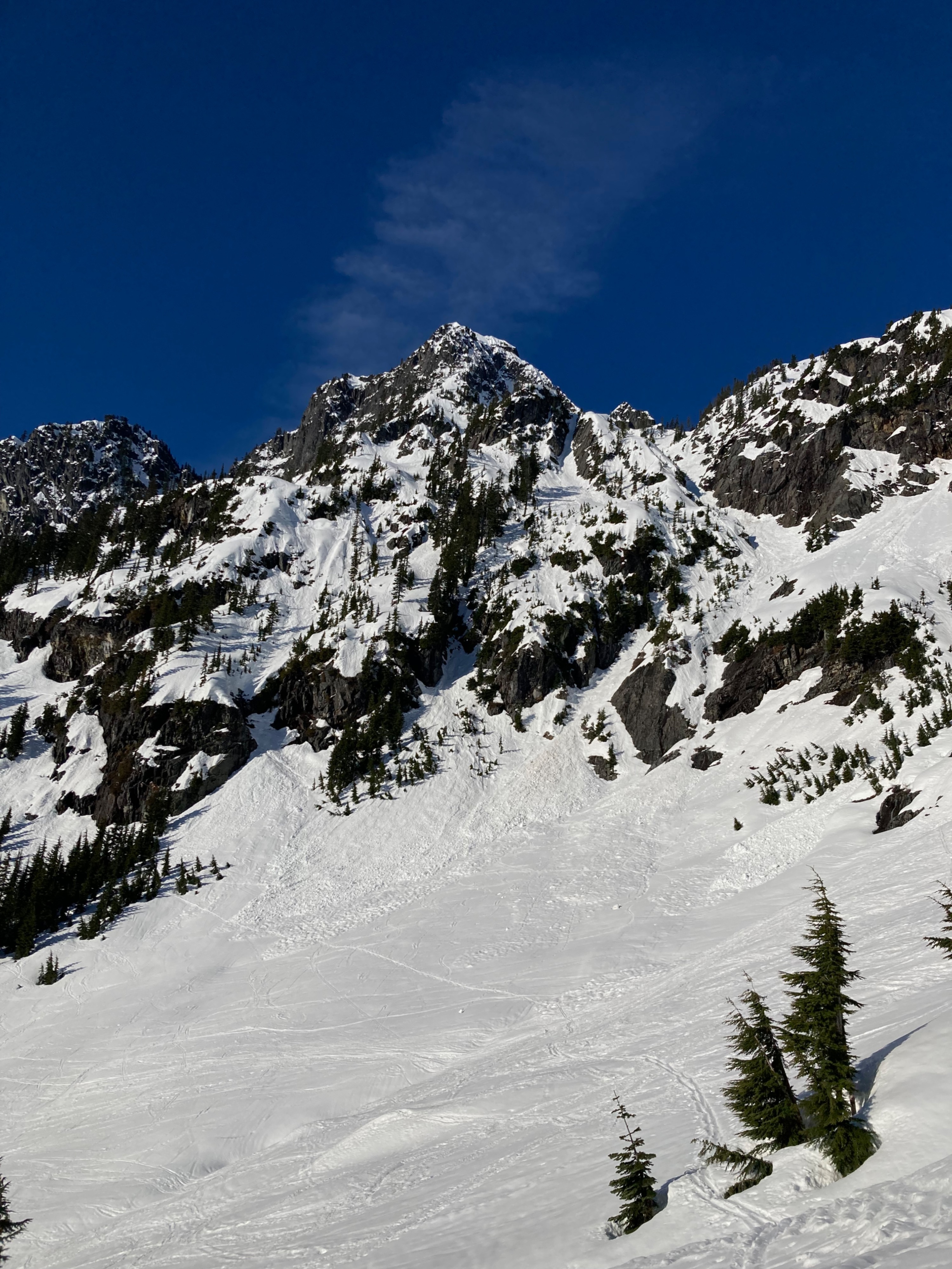
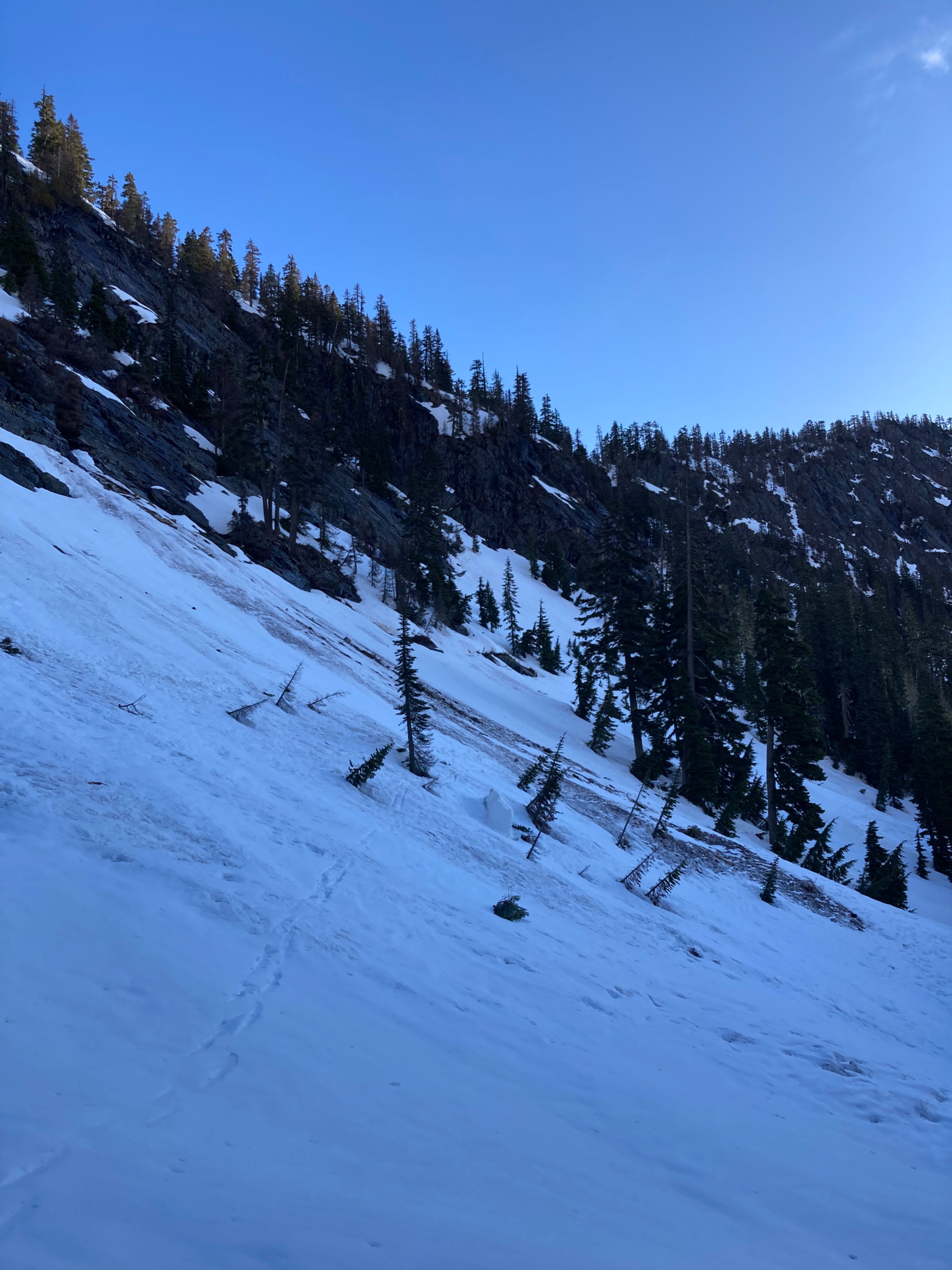
Widespread D1-1.5 cycle underneath rocky slopes. Encountered debris from a recent glide avalanche which brought down rubble and small trees with it.