
Quick report
The most likely way to trigger an avalanche right now is a wind slab up to 2' deep. Wind events on Monday returned the landscape to a more typical wind-scoured state for Chugach State Park. Near-surface facets formed during the recent cold, dry period are helping these slabs persist longer than usual. Several deeper faceted weak layers also remain in the snowpack; although we have not observed avalanches on these layers since January 28, they are still present and factored into our decision-making.
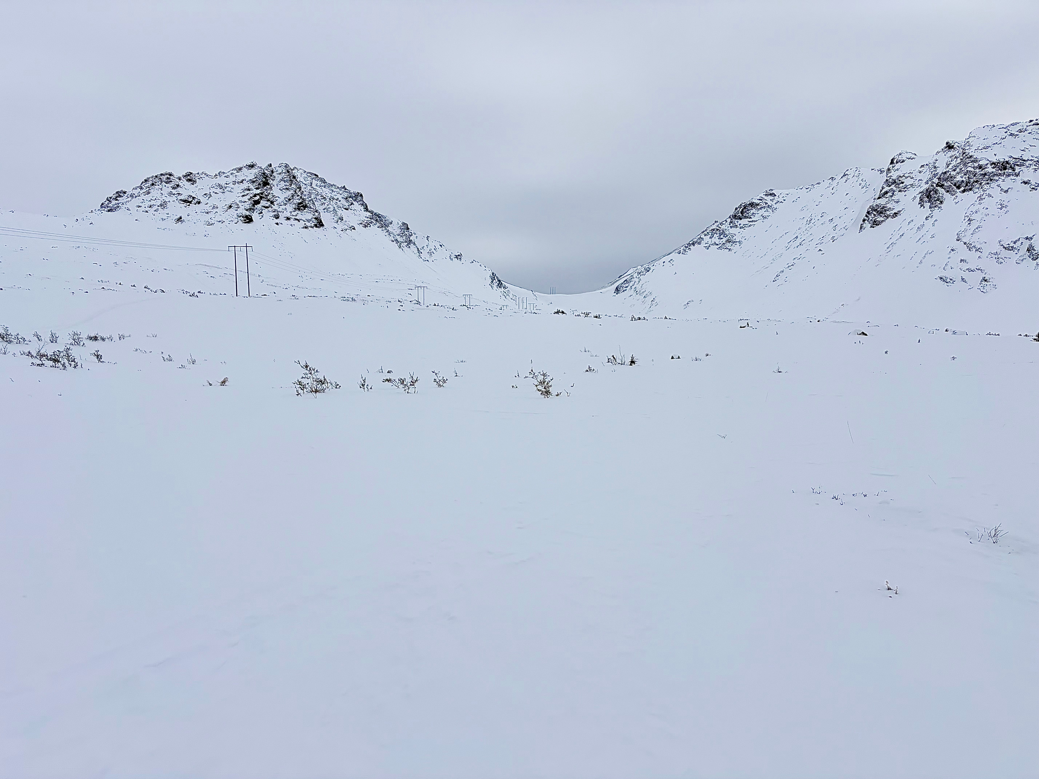
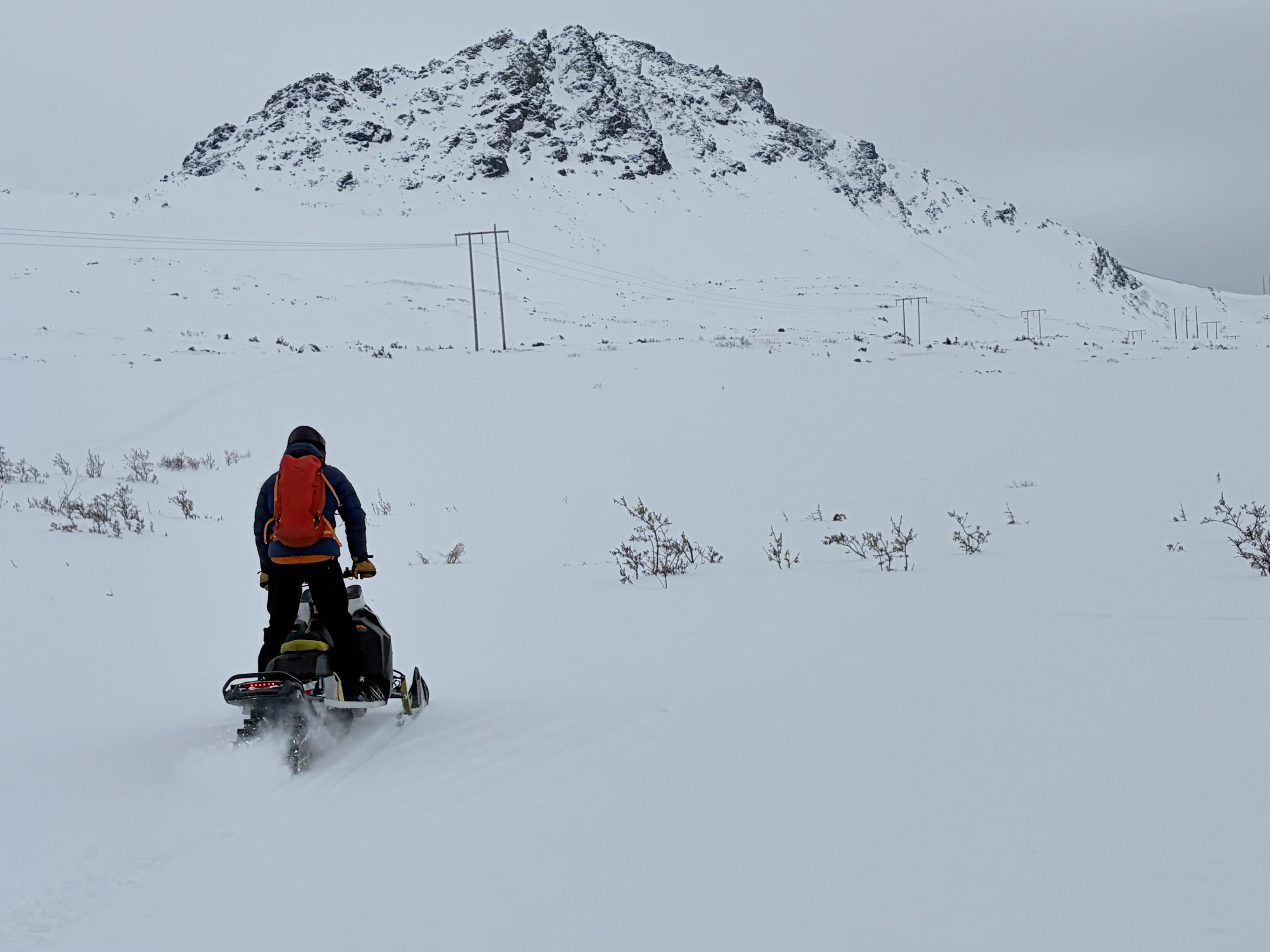
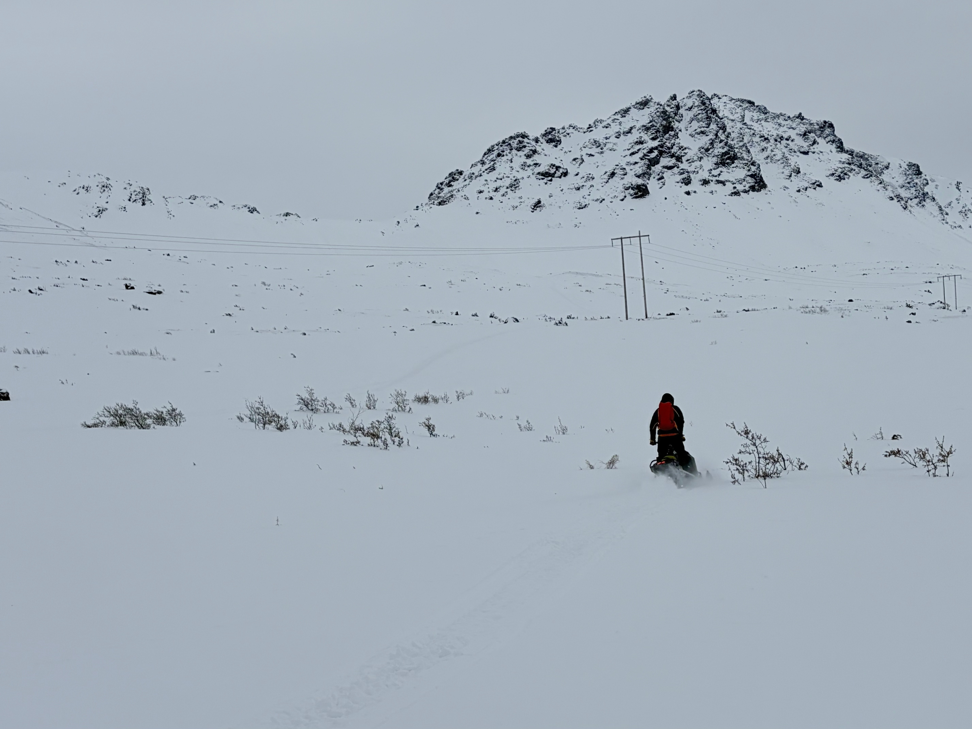
We traveled the standard uptrack from the Upper Huffman parking lot to Powerline Pass and Ship Lake Pass to assess conditions following earlier wind events this week. The landscape is heavily wind-scoured, with pockets of fresh wind-affected snow resting on facets. In many areas, scouring has stripped the snowpack down to near bare ground. There is still limited snow available for transport, and much of the recent ~1' of low-density snow has been redistributed into fresh wind slabs.
Numerous tracks have made untracked soft snow difficult to find. Where snow remains undisturbed, rocks are often lurking just beneath the surface. The best riding conditions exist in isolated areas where fresh snow overlies older surfaces. Another wind event forecast for late Thursday night into early Friday morning is worth keeping on the radar. Stronger winds than earlier in the week could build new slabs and potentially trigger large natural avalanches.
Weather
- Air Temp
- 5
- Cloud Cover
- scattered
- Wind Loading
- previous
- Rain Elevation
- Not observed
- Recent Snowfall
- 1
- Snow Avail For Transport
- small smounts
Few cloud in the morning that built to overcast by the evening, snowflurries in the afternoon, temperatures in the single digits F