
Quick report
Seems like we're building the snowpack back inch-by-inch. While you definitely still feel the Early February Crust beneath the recent snow, it's getting deeper.
No notable signs of instability.Weather
- Air Temp
- 31
- Cloud Cover
- broken
- Wind Loading
- light
- Rain Elevation
- 5000
- Recent Snowfall
- 1
- Snow Avail For Transport
- small smounts
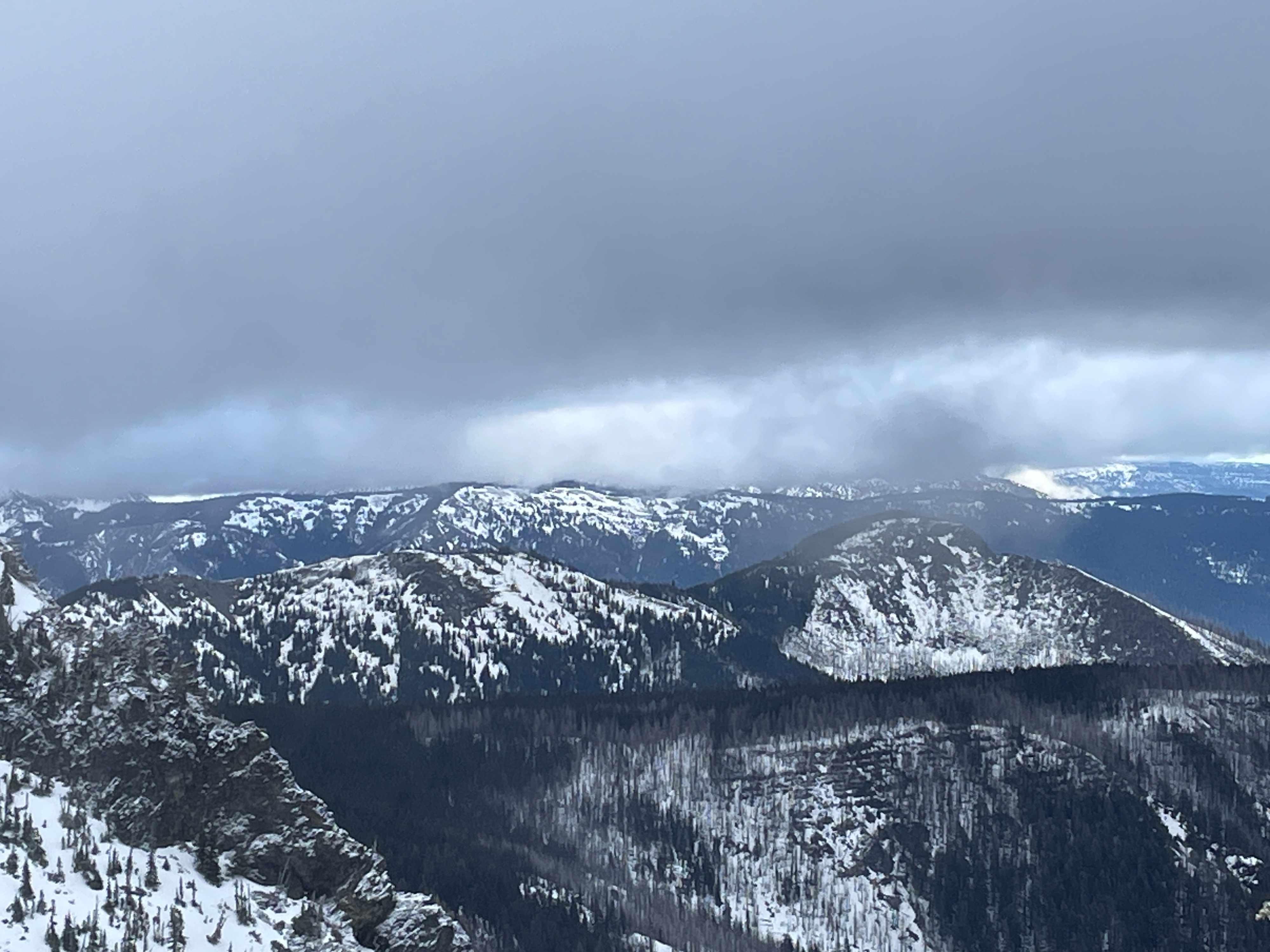
On and off snow showers began to increase around lunchtime. Winds were generally light but increased in the afternoon.
Snowpack
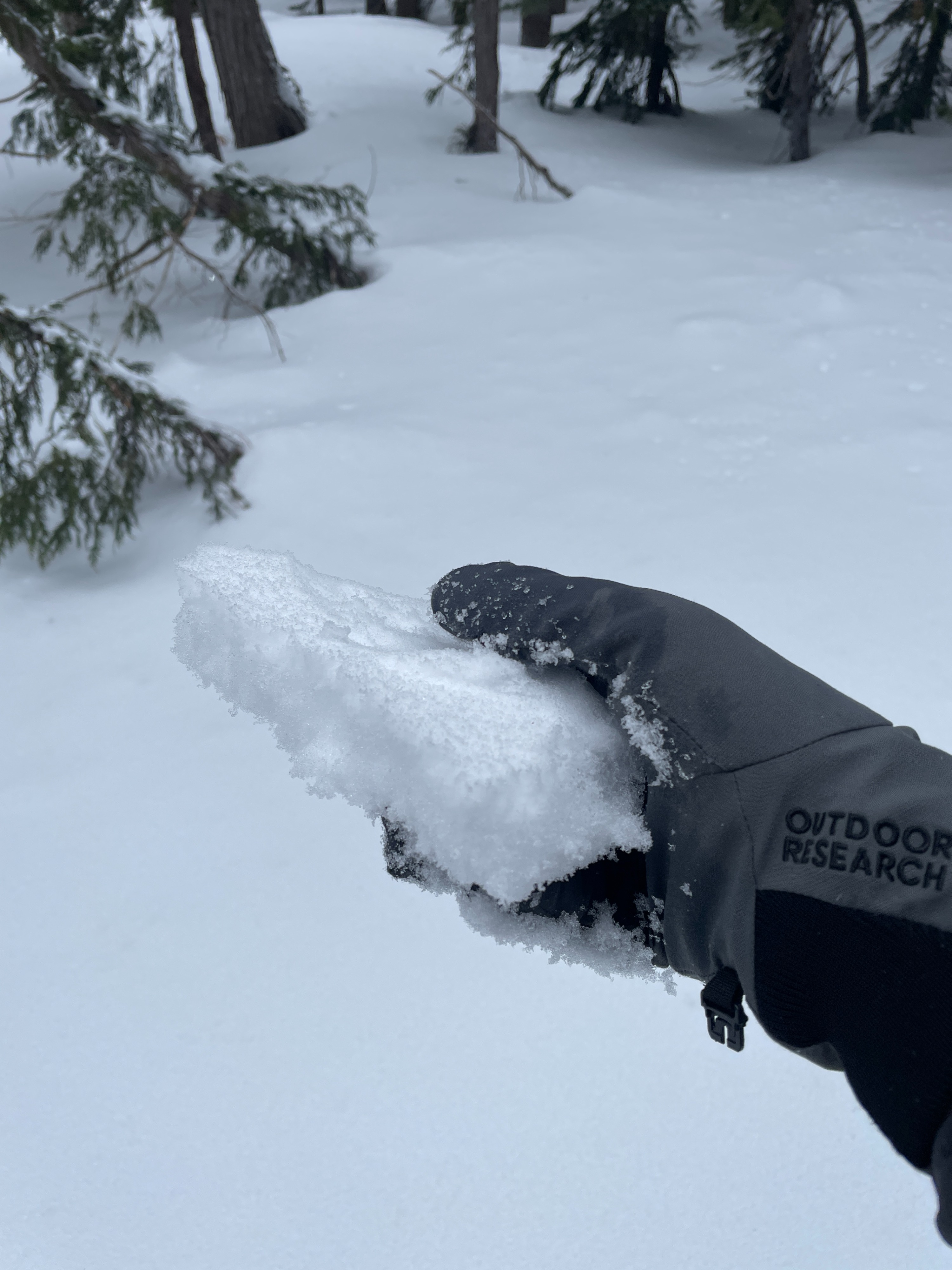
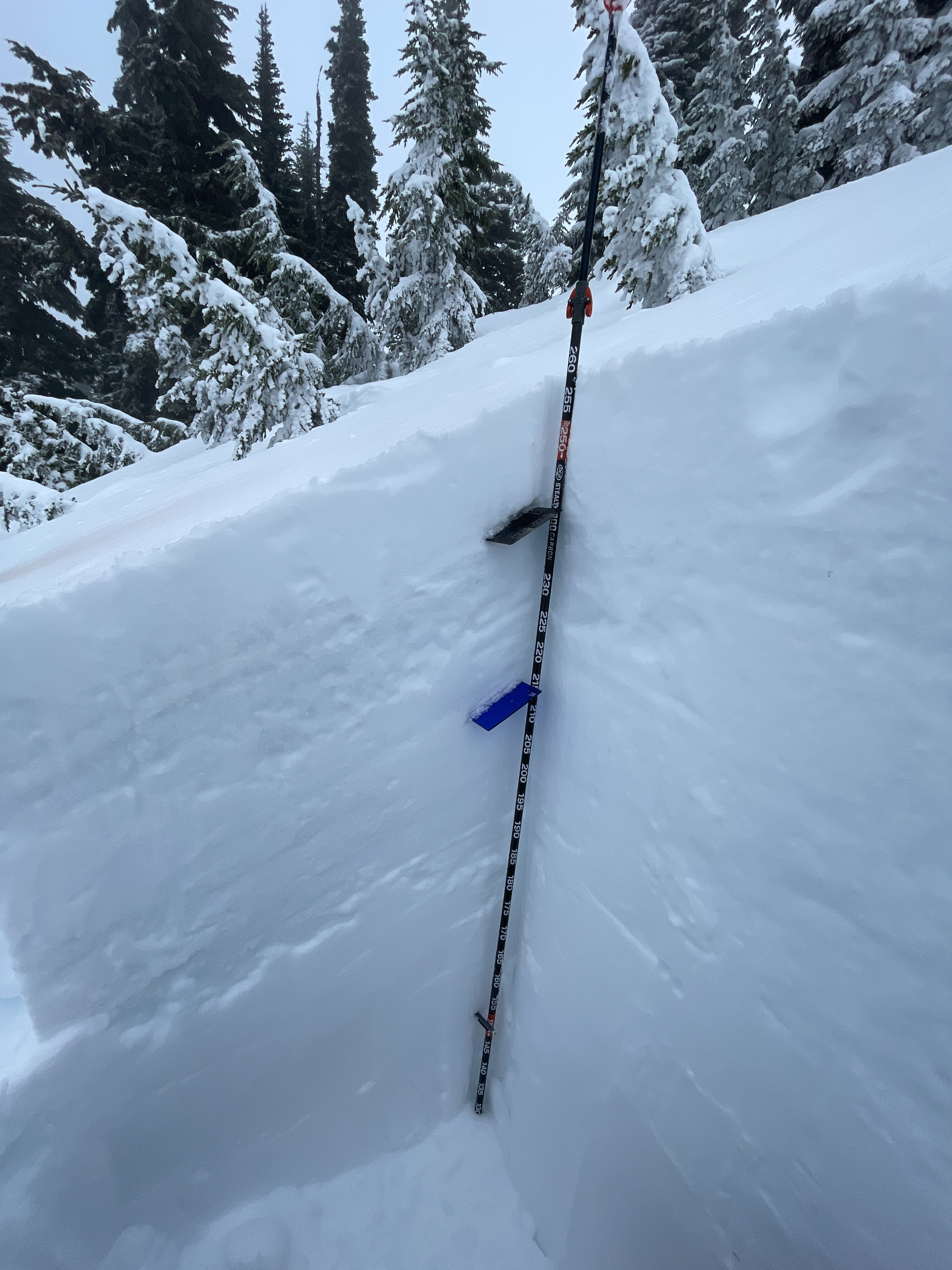
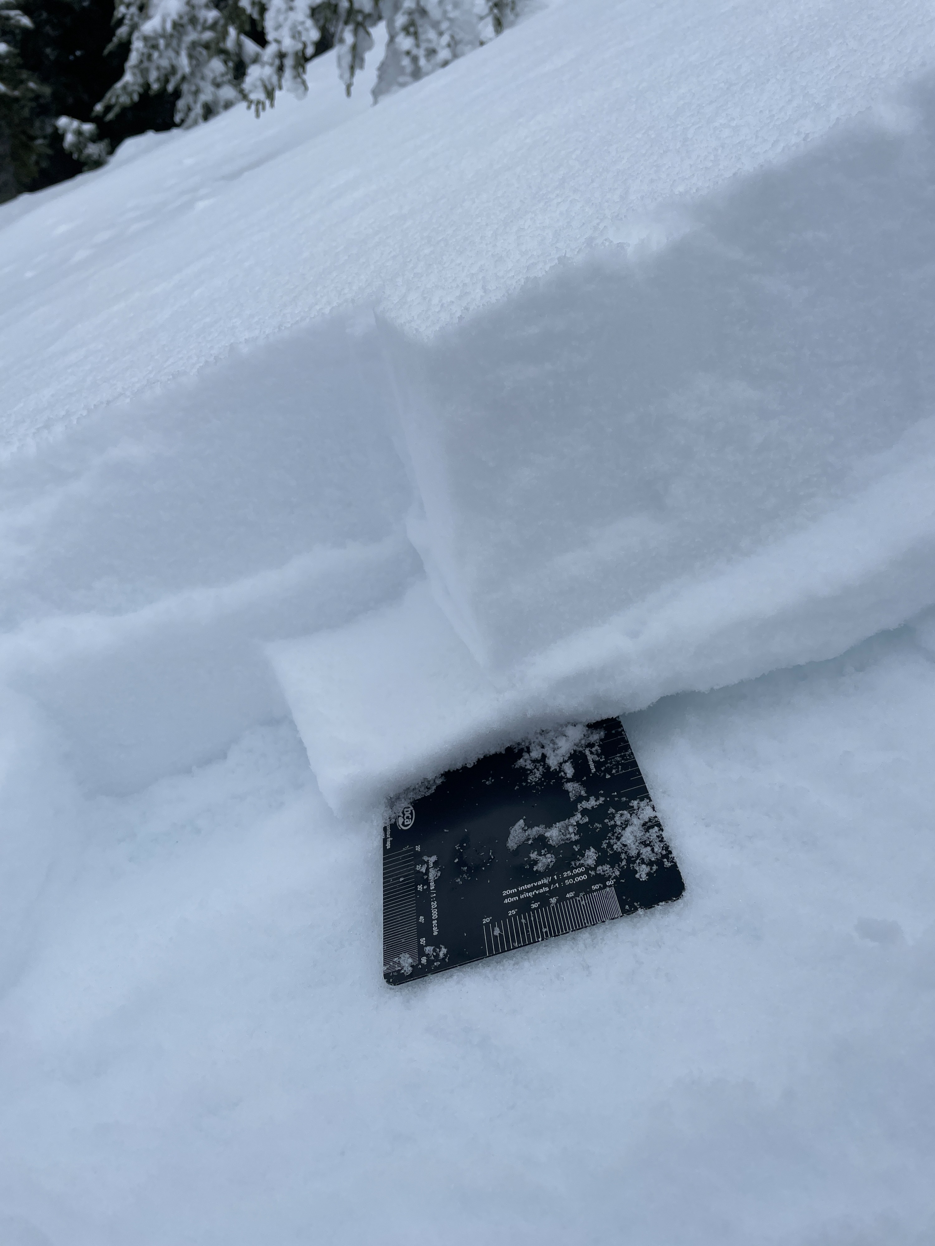
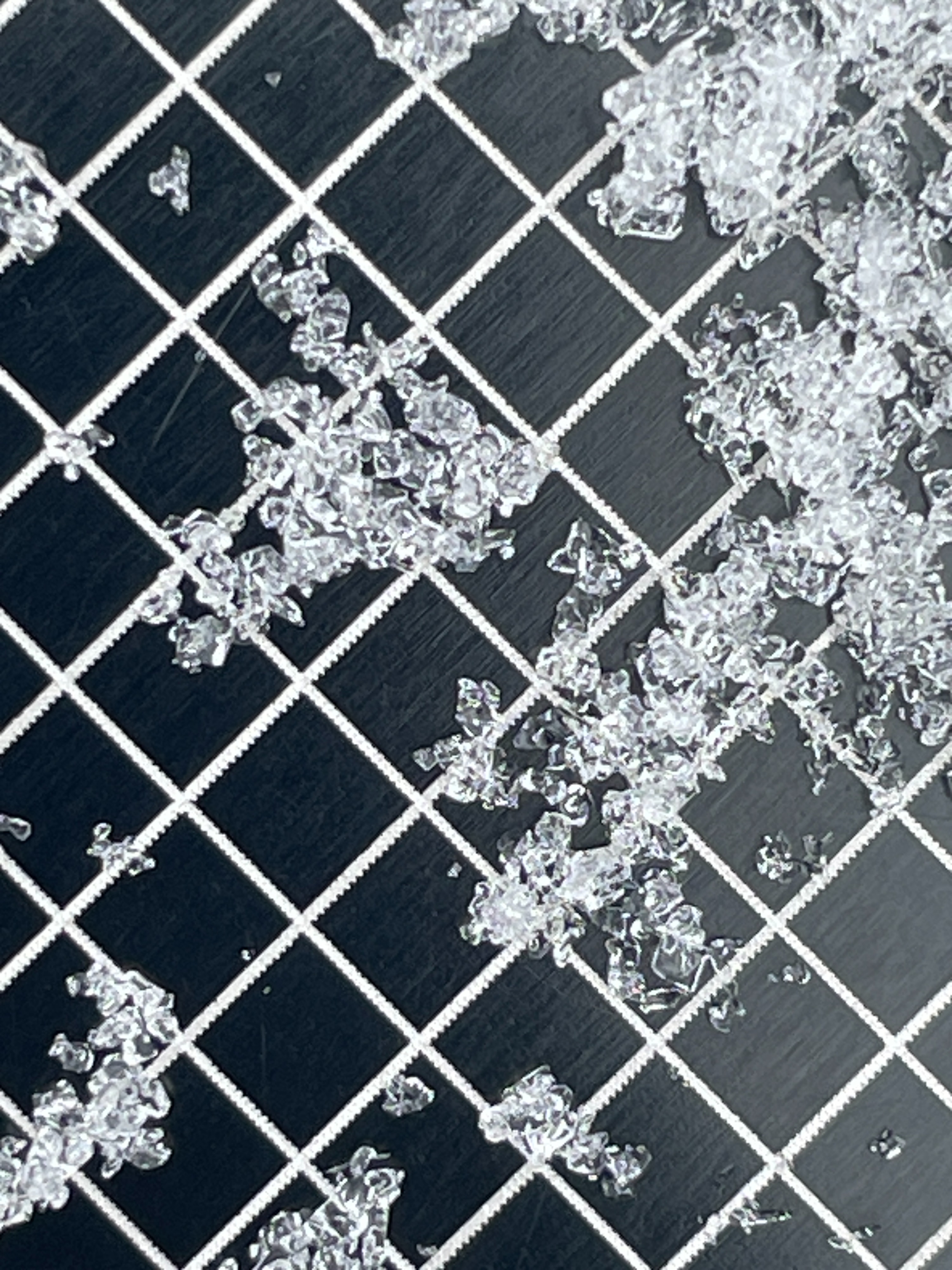
Northerly: 6-8 inches (15-20cm) of recent snow over the Early February Crust (EFC). This snow was mostly right-side-up except for a thin crust 1/2 in (1cm) above the EFC. This crust-facet sandwich sits at the base of the new snow.
Southerly: A firm 1-2 inches crust formed from Saturday's sunshine. This layer was generally ski-supportable but not boot-supportable. Below, 6 inches (15cm) of softer, drier snow exists along with the same facet/crust sandwich.
EFC: The Early February Crust was about a foot (30cm) thick. However, it was weaker than we've seen in other parts of the zone. It still seems to easily cap the older snowlayers beneath and should prevent avalanches from failing on older layers.
Middle Snowpack: Below the EFC we could still see older crust from earlier this season. The middle snowpack remains dry, but is much warmer than before the atmospheric river and appears to be gaining strength (rounding).
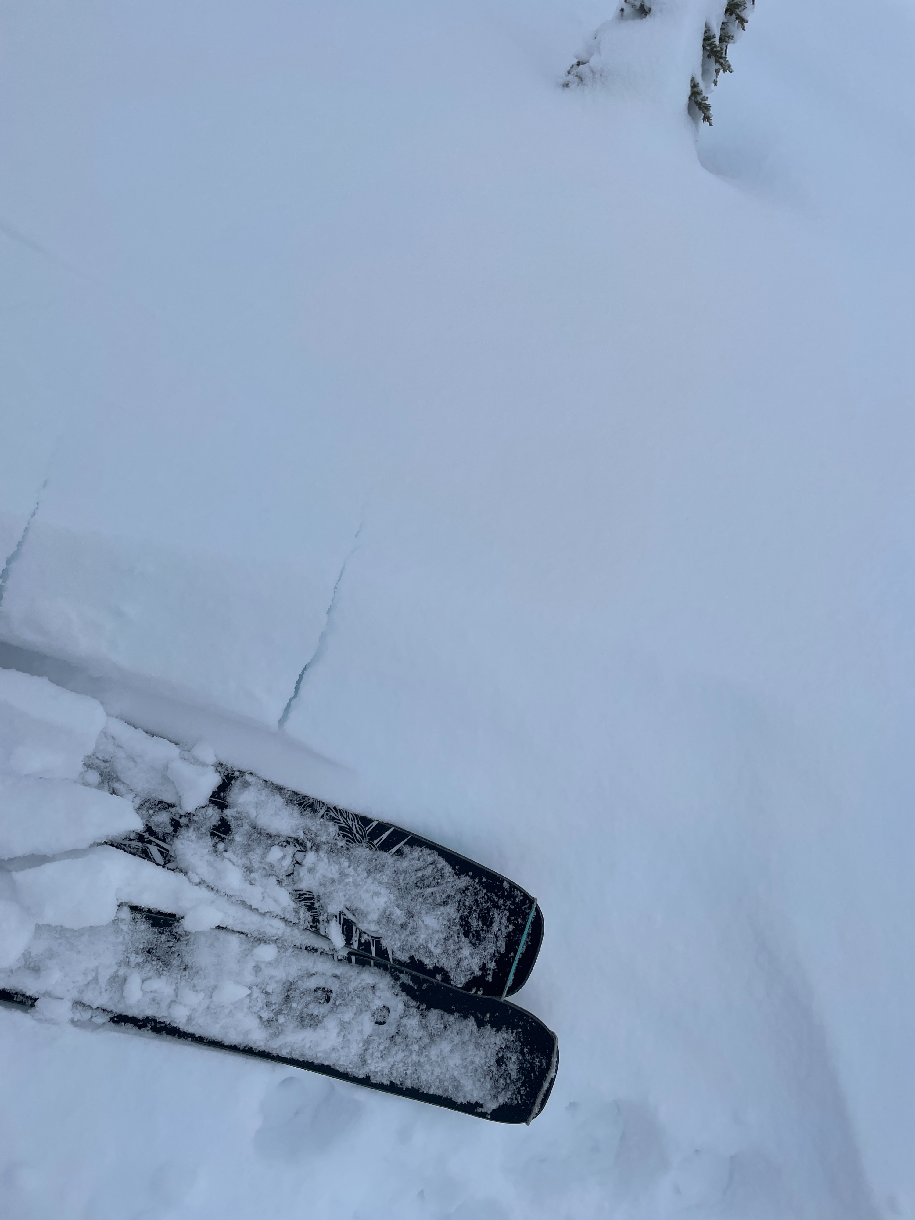
Wind Affect: Very small pockets of wind drifted snow were found along the exposed ridges. They produce short (1-2ft) cracks, but none released.
Wet Snow: The snow surface was more spring like below the rain-snow line (5000ft), however the surface snow didn't produce any notable rollerballs or wet loose slides.
Avalanche
None observed