
Quick report
We were keeping an eye on snow surfaces as we look forward to the upcoming snowy week.
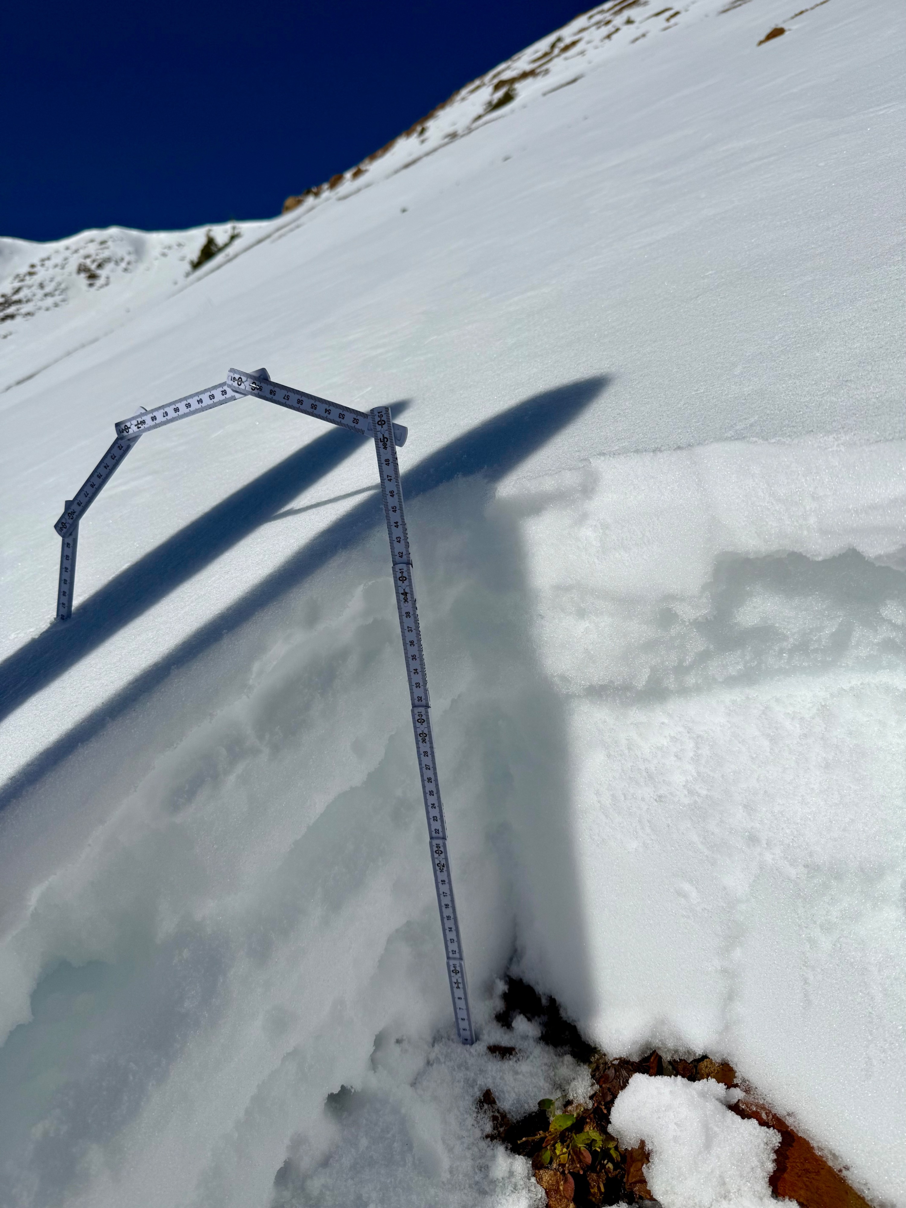
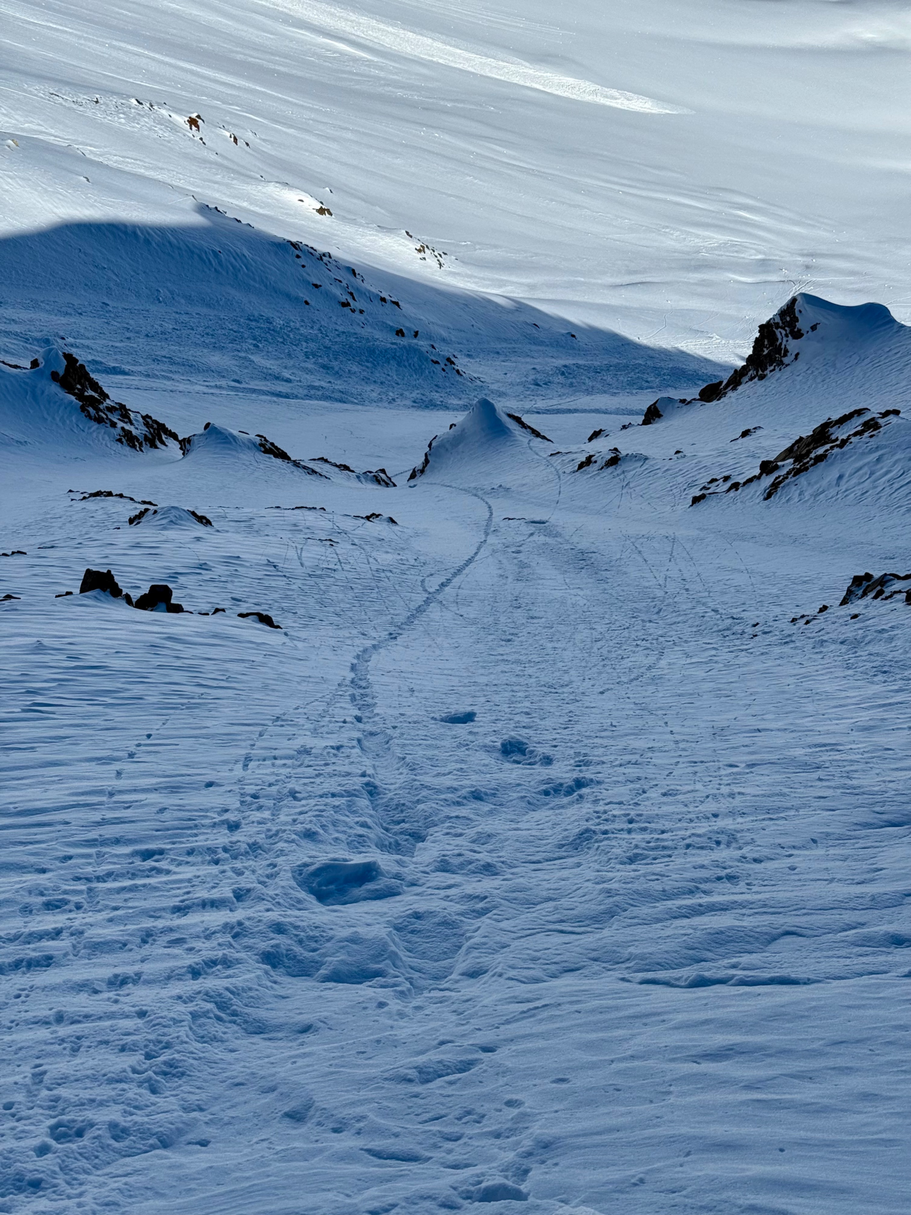
The most problematic snow surfaces were on northerly and easterly facing slopes. On a NE-facing slope at 11,600ft, the snow surface was still decomposing from Tuesday's precipitation, but the rest of the snowpack was fist hard, weak, and faceted. The HS there was about 50cm. The next NE location was at 12,300ft where the snow surface consisted of small .8mm NSF while the rest of the snowpack was also weak and faceted.
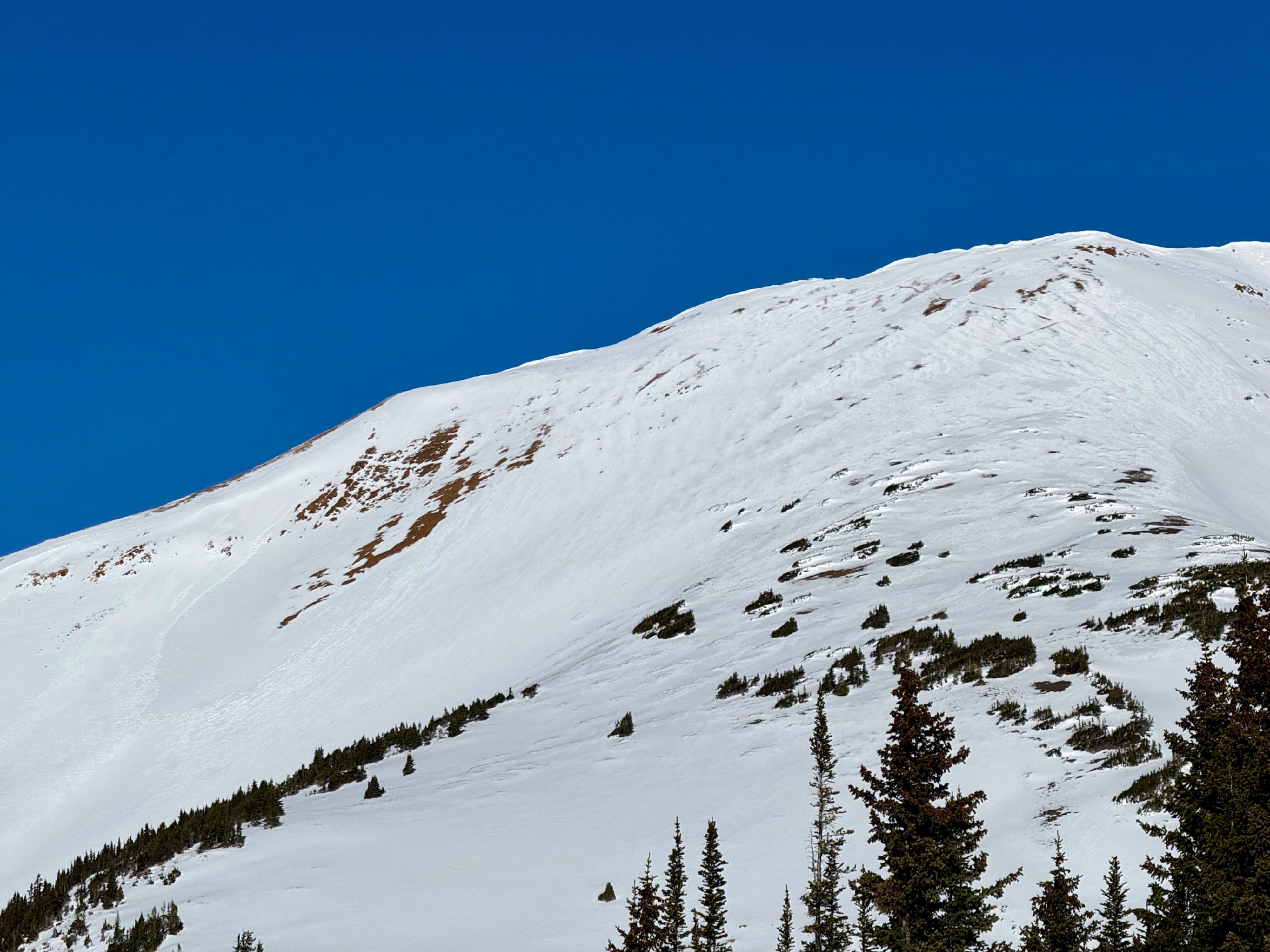
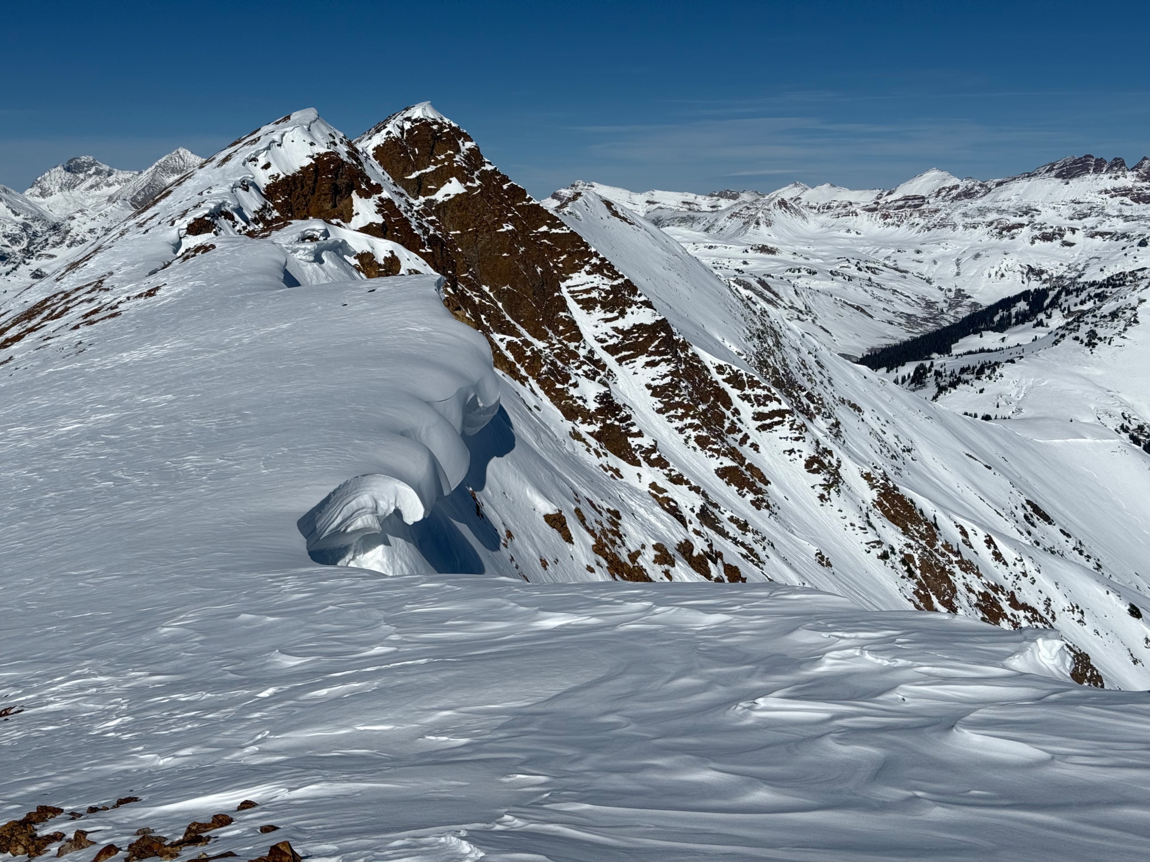
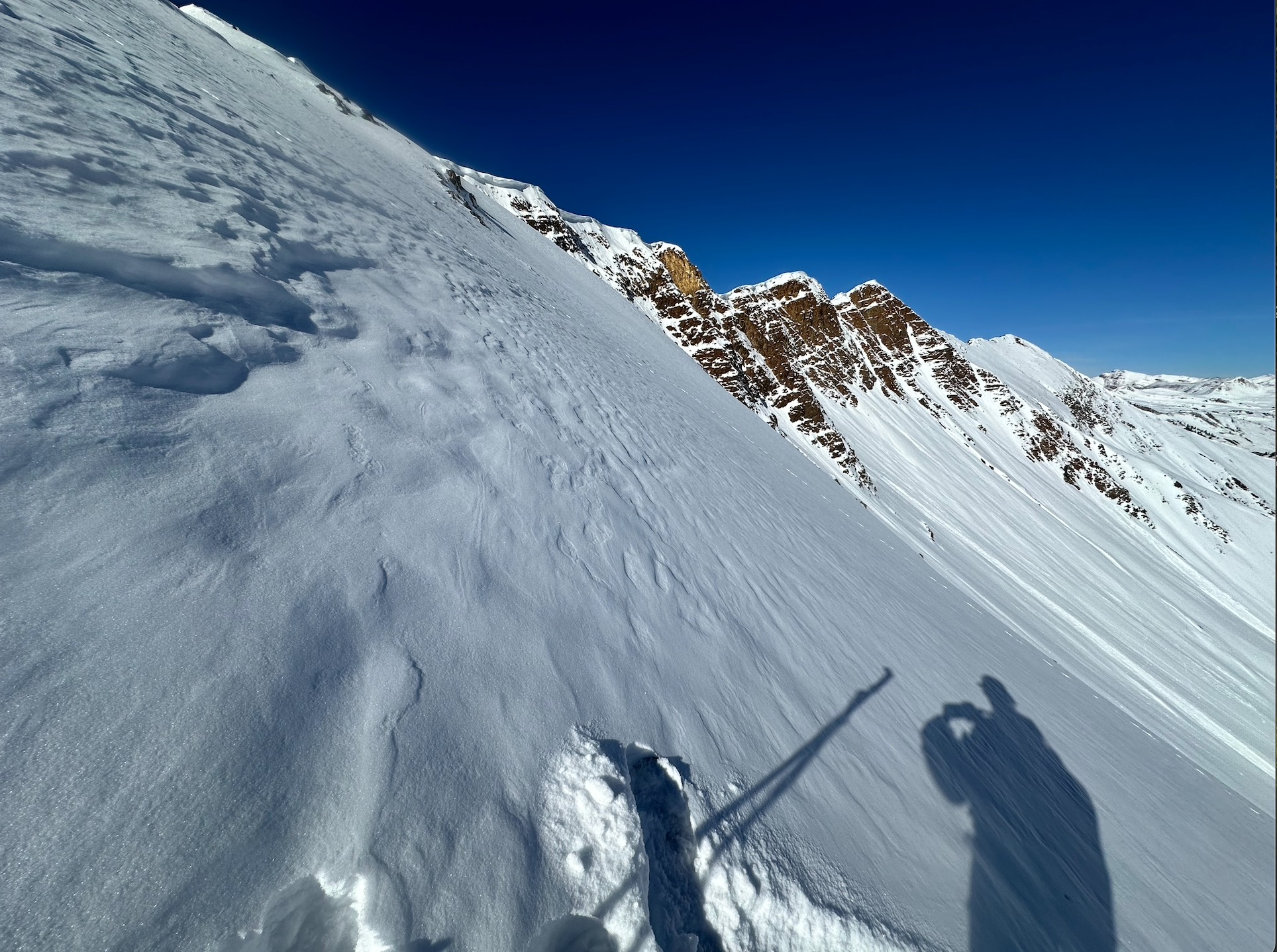
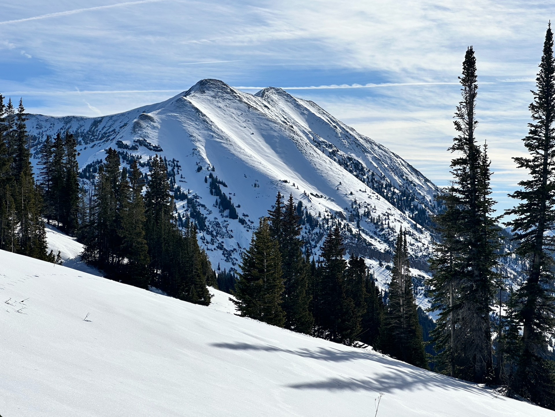
Snow surfaces on steep south and southeast-facing slopes were moist up to our high point, around 12,500ft. The next round of avalanche activity looks like it will primarily remain on top of the current surface crusts. Lower-angled southeast-facing slopes were still skiing well, and the snow was dry.
The snow surface on a single west-facing slope at 11,200ft this morning had a 1cm collapsible crust into small facets. This was a concerning-looking structure for future avalanche activity unless that crust becomes thicker today and/or tomorrow.
No instabilities encountered.Weather
- Cloud Cover
- clear
- Wind Loading
- none
- Recent Snowfall
- 0
- Snow Avail For Transport
- small smounts
A lovely mild day with calm winds. The temperature climbed to 34 degrees at 12,300 feet on Cinnamon Mtn.
Snowpack
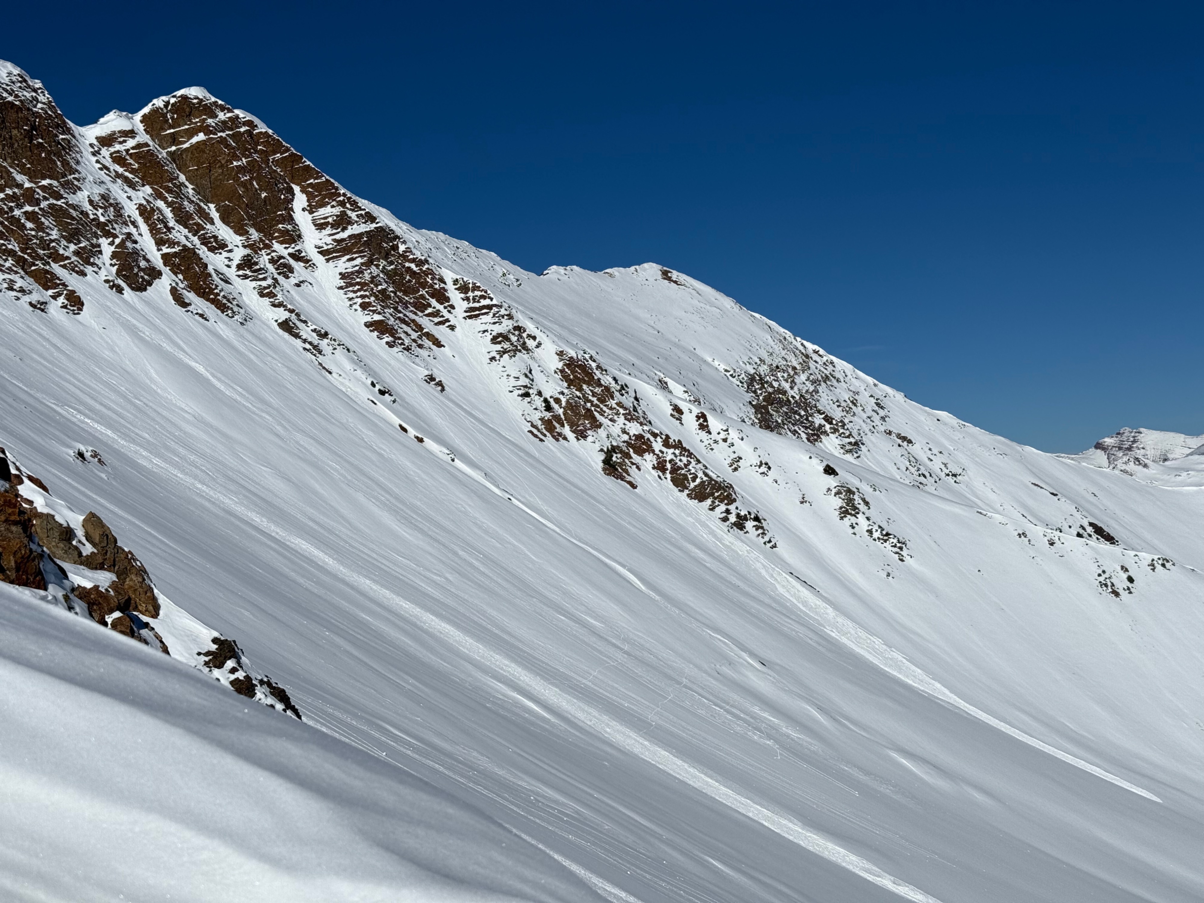
A small wet loose avalanche that ran out of steep rocky terrain at 12,700ft, on a southeasterly aspect of Mt Baldy. This avalanche ran on Wednesday or Thursday.