
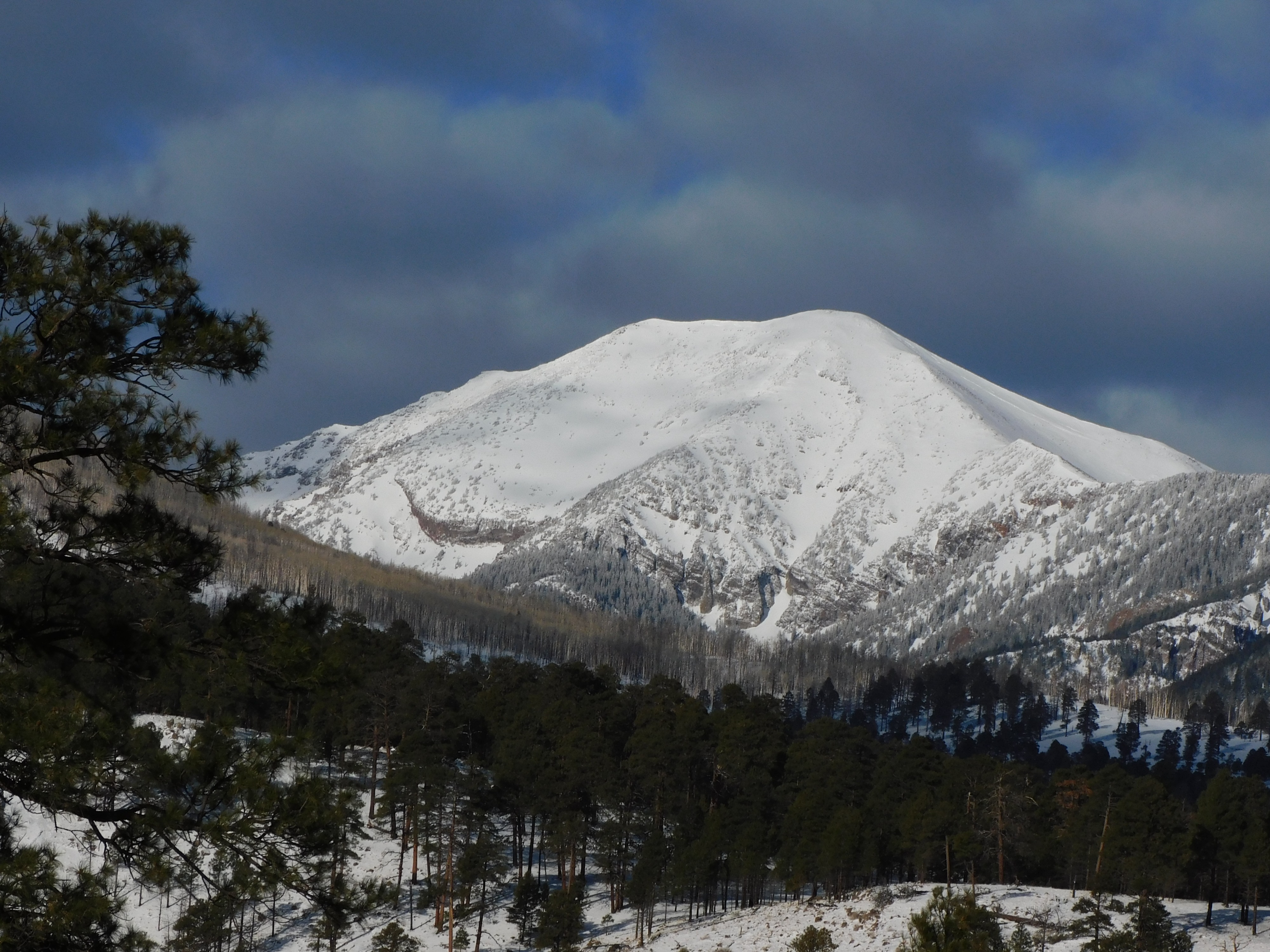
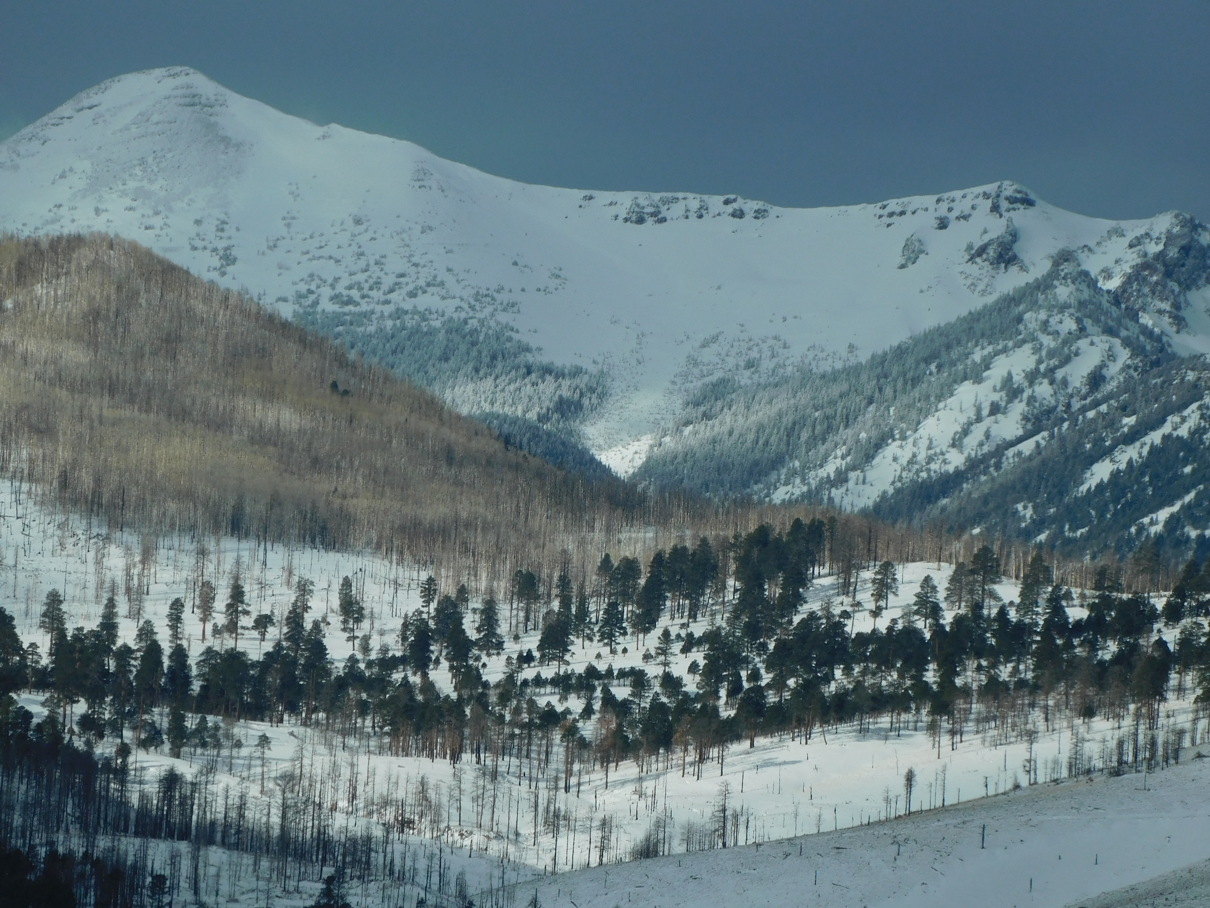
Fremont Peak and other slopes viewed from Highway 89
Quick report
Went for a drive out highway 89 north from Flagstaff. Stopped at Bonito Park and Deadman Flat Rd (35.427689, -111.569590) to glass distant slopes.
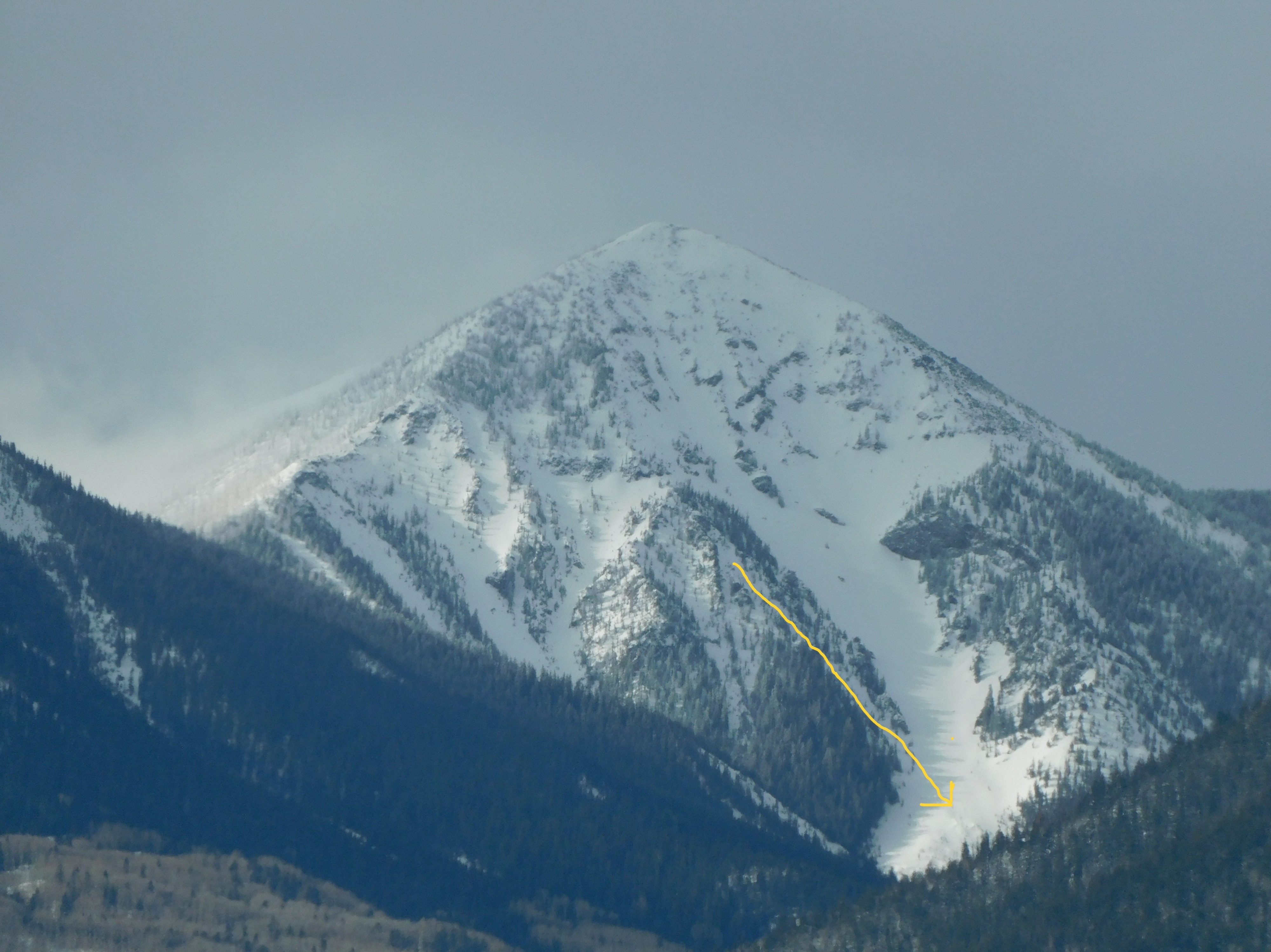
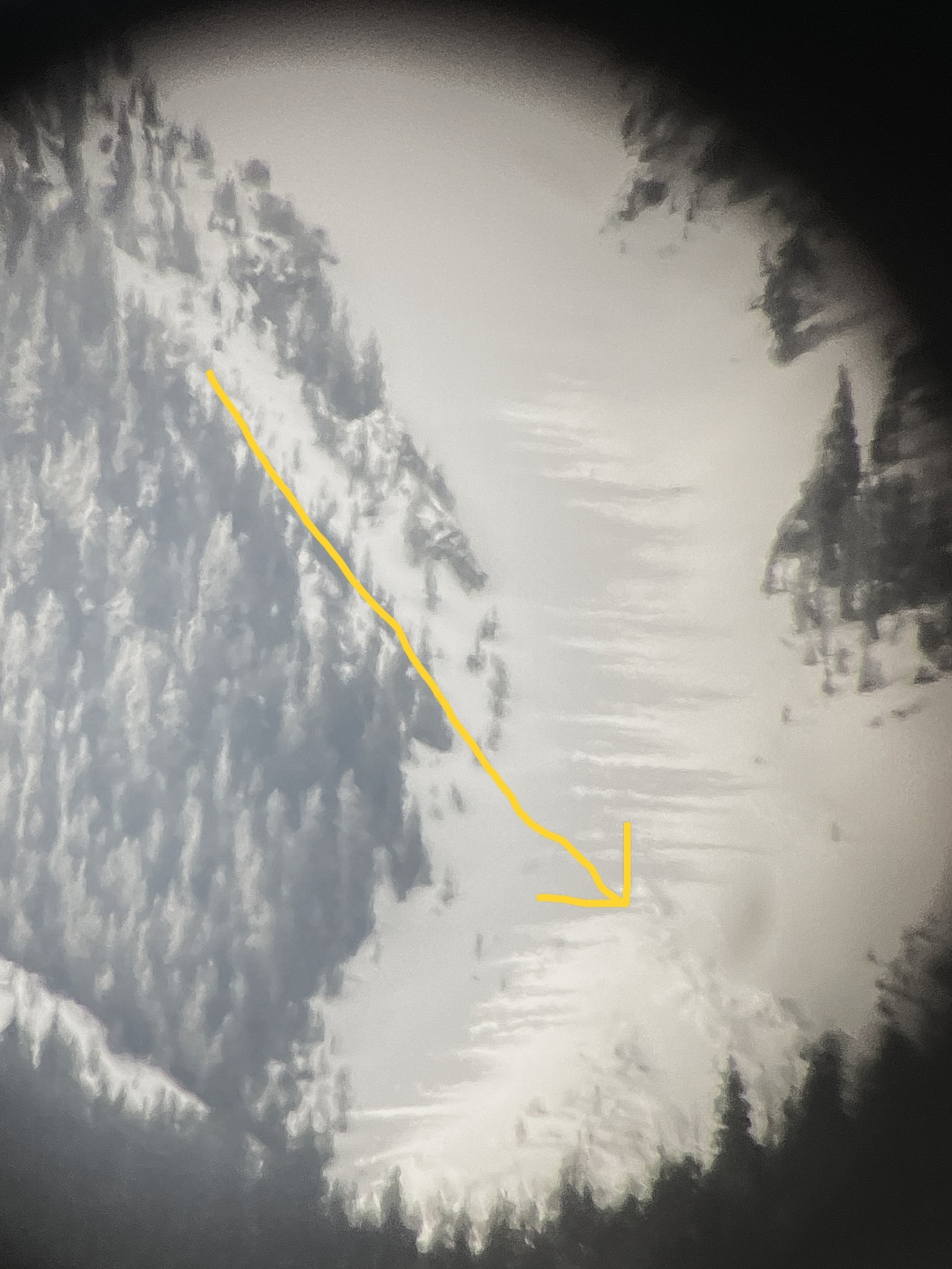
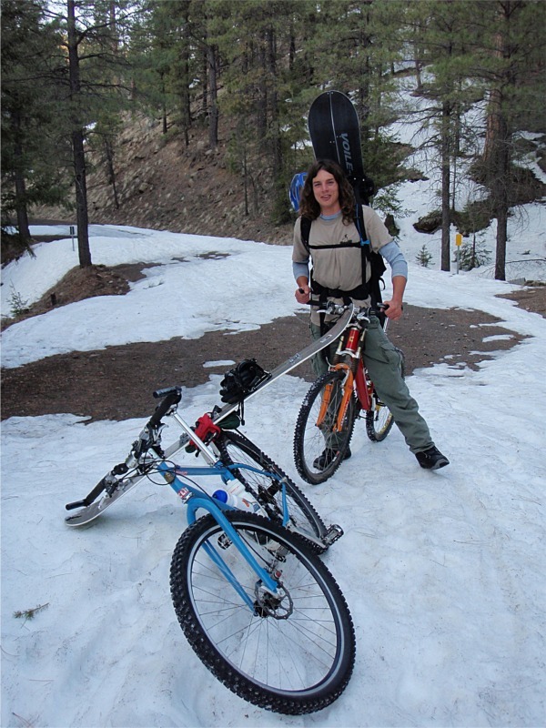
Saw evidence of some wind scouring and wind loading at upper elevations. The only avalanche evidence I found was debris at the exit apron of a northerly chute on Fremont Peak. See photos and the attached avalanche. This is a side chute of the Telemark Path. I've been calling it the MTB Chute since March 2008, after riding a mountain bike (MTB) up Lockett Meadow Road, then splitboarding and bootpacking to the top of the chute. It's probably been named something else by someone else.
Weather
- Cloud Cover
- scattered
- Recent Snowfall
- 60
- Snow Avail For Transport
- large amounts
First clear skies since Feb. 16. Near treeline slopes accumulated ~2' of snow and 2.5" of SWE since then. From a distance, could see obvious signs of wind loading and wind scouring at upper elevations.
Snowpack
Avalanche
- Size
- D1.5
- Type
- U
- Aspect
- E
- Trigger
- N
- Elevation
- 11000 ft
The data is estimated. Size may be D1.5. Not sure. Maybe we will get a closer look on Saturday or Sunday.