
Snowpack
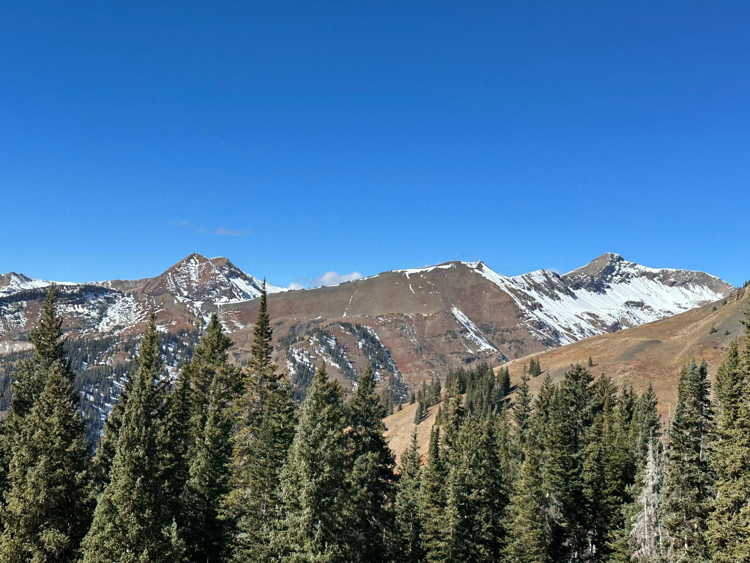
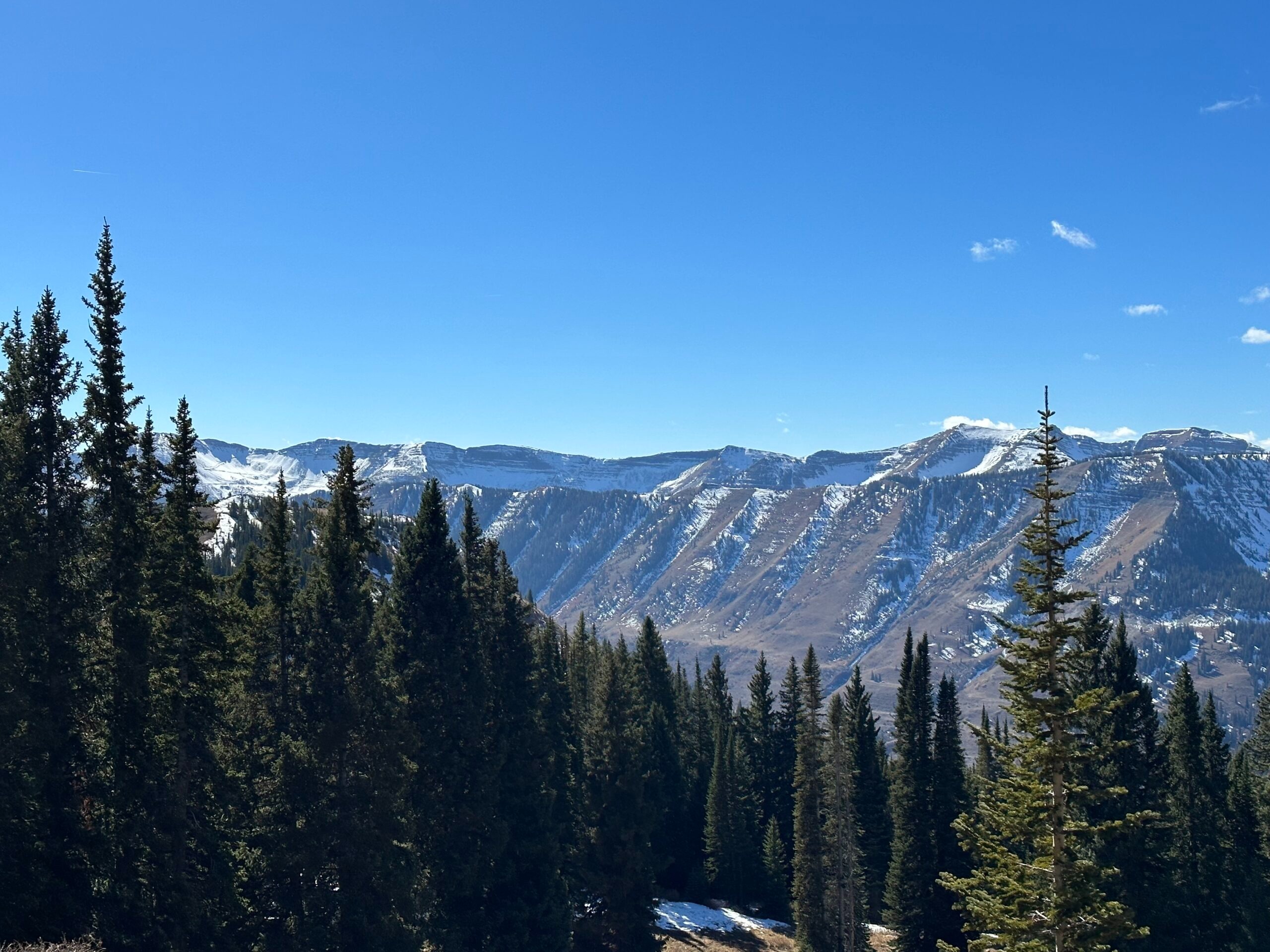
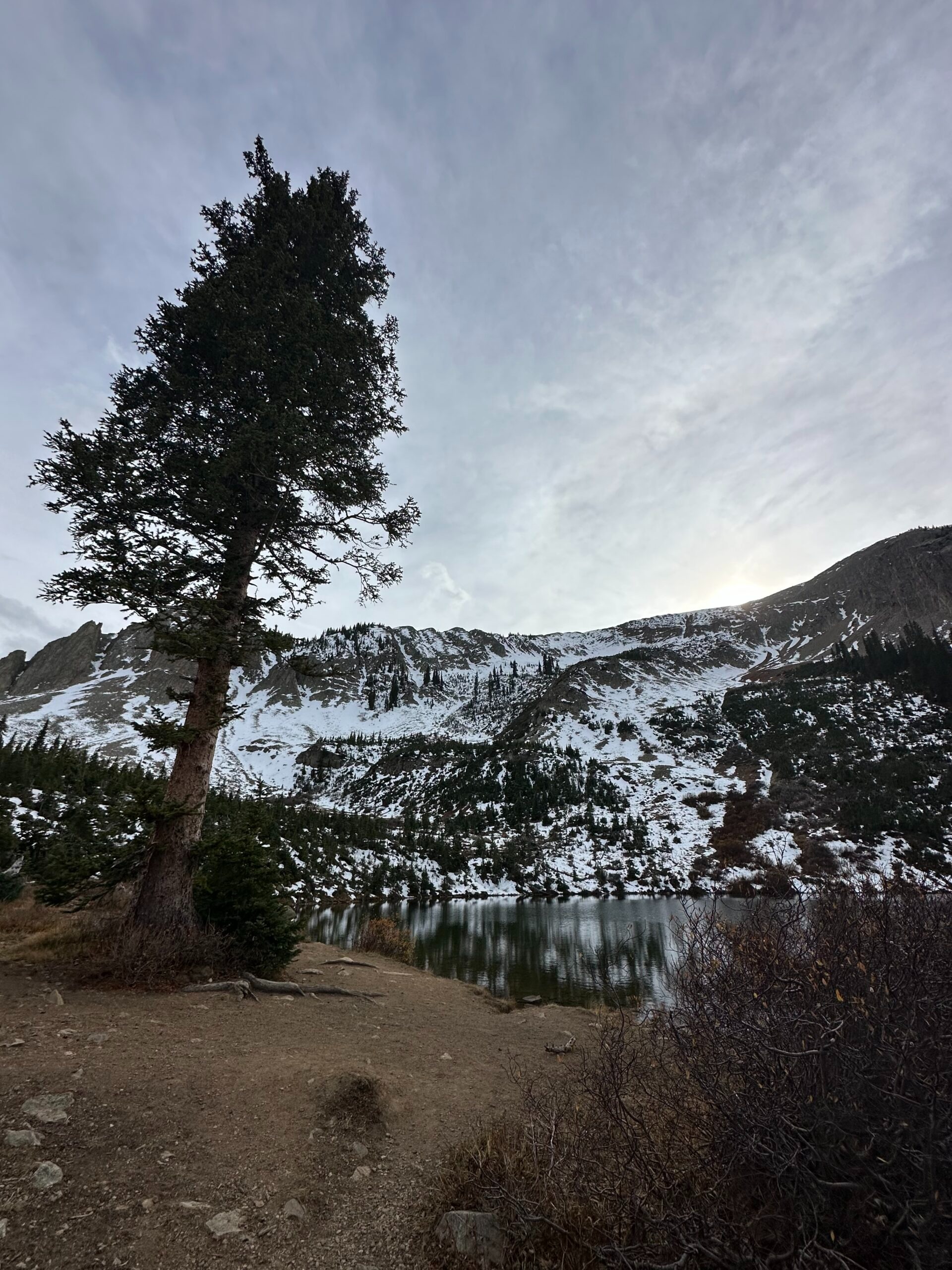
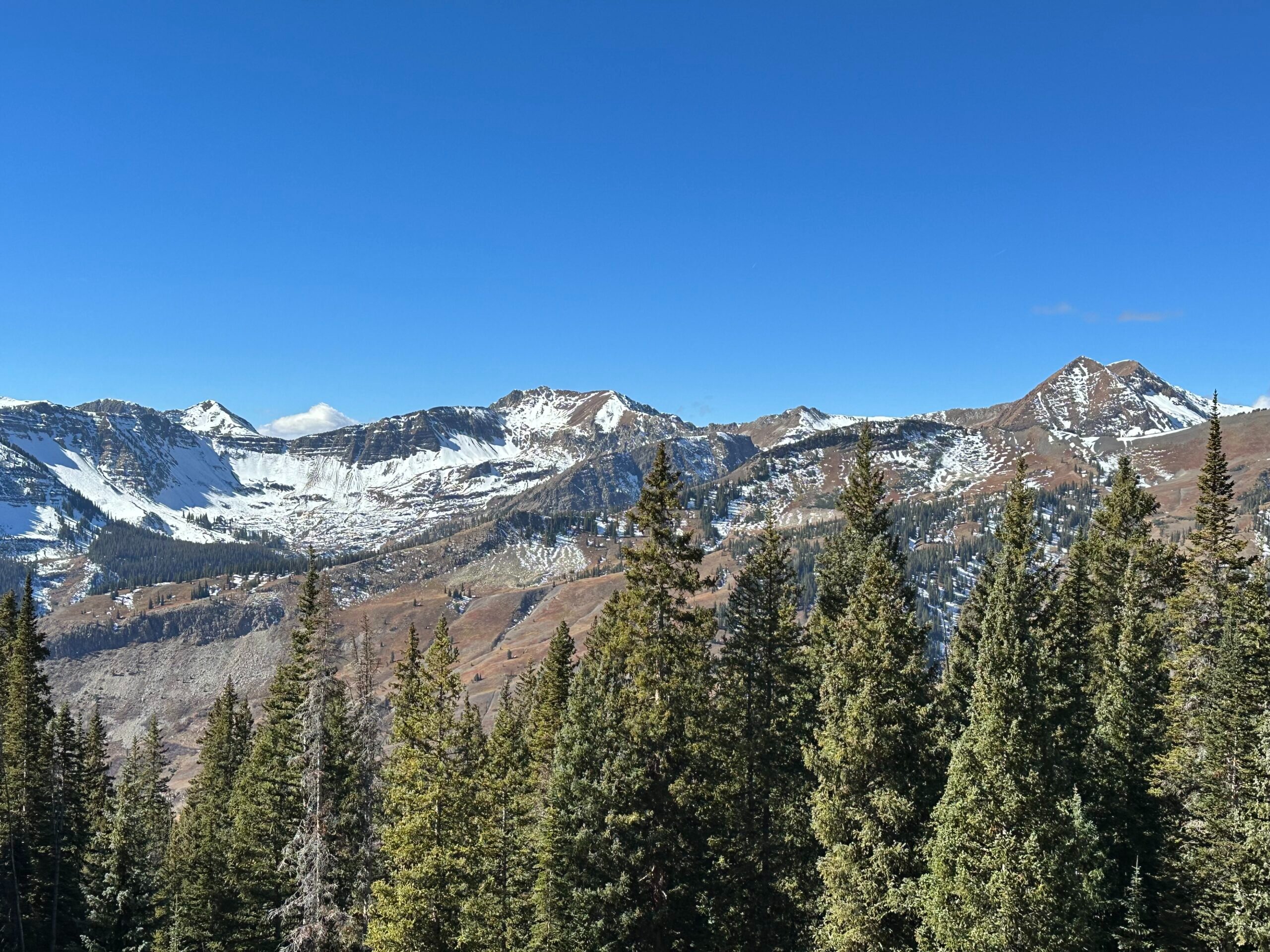
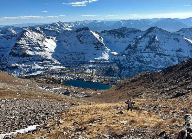
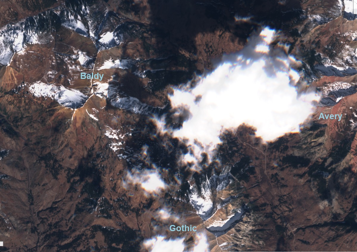
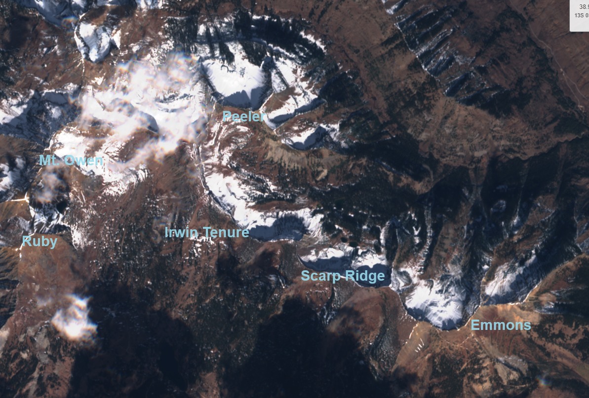
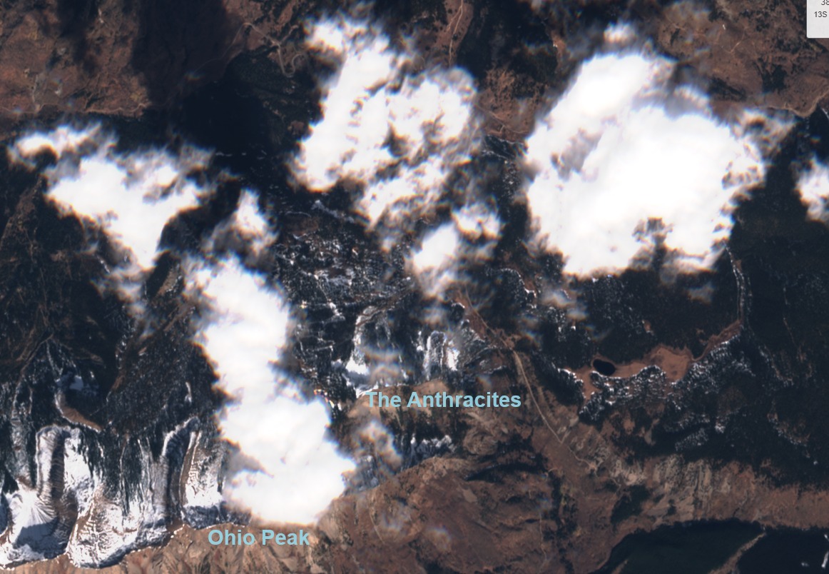
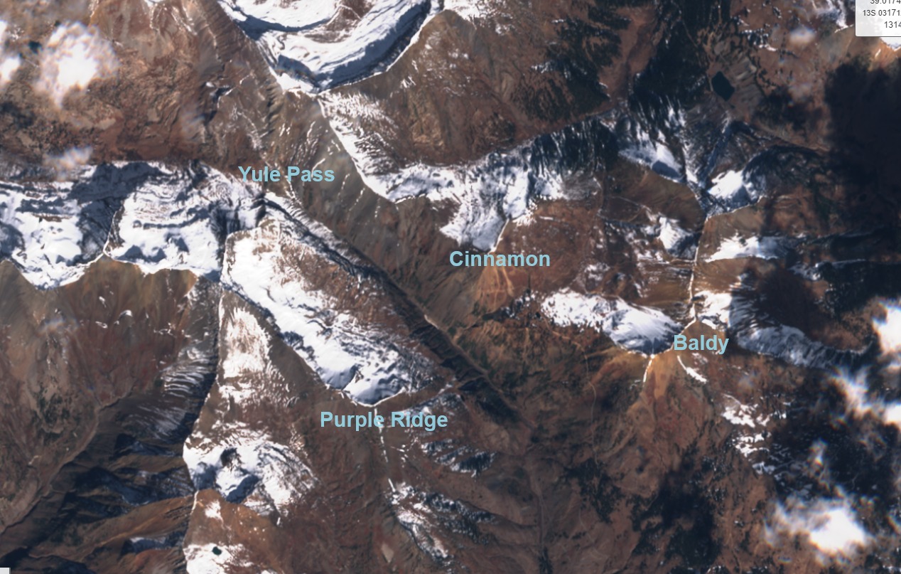
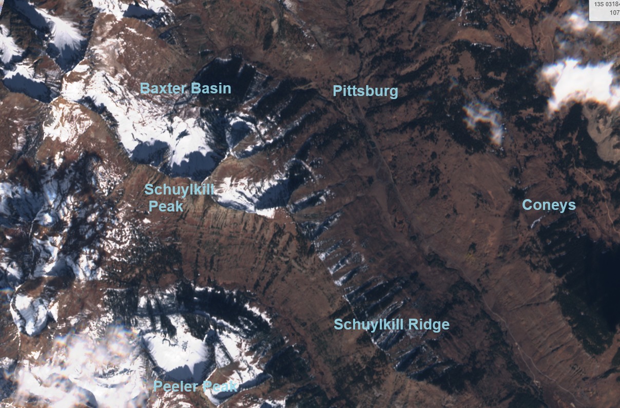
Snow coverage from our early October storm remains on many near and above treeline slopes facing northwest, north, and northeast, and a few east-facing previously windloaded terrain features. Below treeline coverage is patchy on northerly aspects and dry elsewhere. Coverage is more continuous in the snow-favored areas such as Ruby Range, Paradise Divide, etc, and is also more continuous on slopes with a generally smooth ground cover, such as shale or grass. This layer (the 10/28 layer) sat on the ground for two weeks of high pressure, so it is undoubtedly faceted. Field observations this month will provide more details. See satellite images and photos of the layer’s distribution below, taken either 10/23 or 10/25.