
Quick report
- Collapsing
- isolated
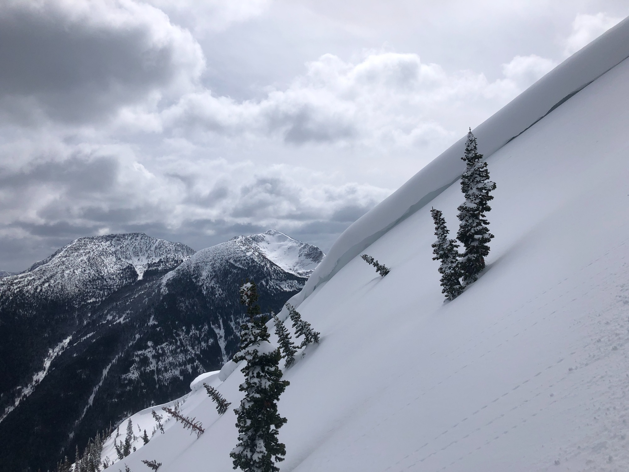
• No recent avalanche activity observed. • Snowfall totals from the Apr 1st/2nd storm have settled out to 2-3” on the Canyon floor, 5-6” at 5000’, and 6-10” at 6000’ and above. • Minimal wind loading today, but the newest crop of wind slabs formed over the weekend were 1-2’ thick and found on easterly and northerly aspects above 6000’. • Experienced 3 audible collapses/whumpfs. All occurred above 6500’ and on north-facing slopes. Hand pits revealed a 2-3” thick layer of facets right under the most recent snow as the layer of concern. • On other slopes where the pre-storm surface is a stout melt-freeze crust, the recent snow appears to be bonding well and no signs of instability were observed. • Snowpack surface was becoming moist at all elevations on slopes exposed to the intermittent sunshine by mid-afternoon.
Weather
• Clear skies in the morning, then building clouds and mostly overcast by late afternoon. Intermittent snow showers with trace accumulations. • Winds were light to moderate from the east or northeast with minimal blowing and drifting snow. • Overnight lows dropped to the single digits °F with the clear skies. But temperatures warmed quickly and reached to mid-30s °F on the Canyon floor and mid-20s°F above 6000’ by mid-afternoon.