
Quick report
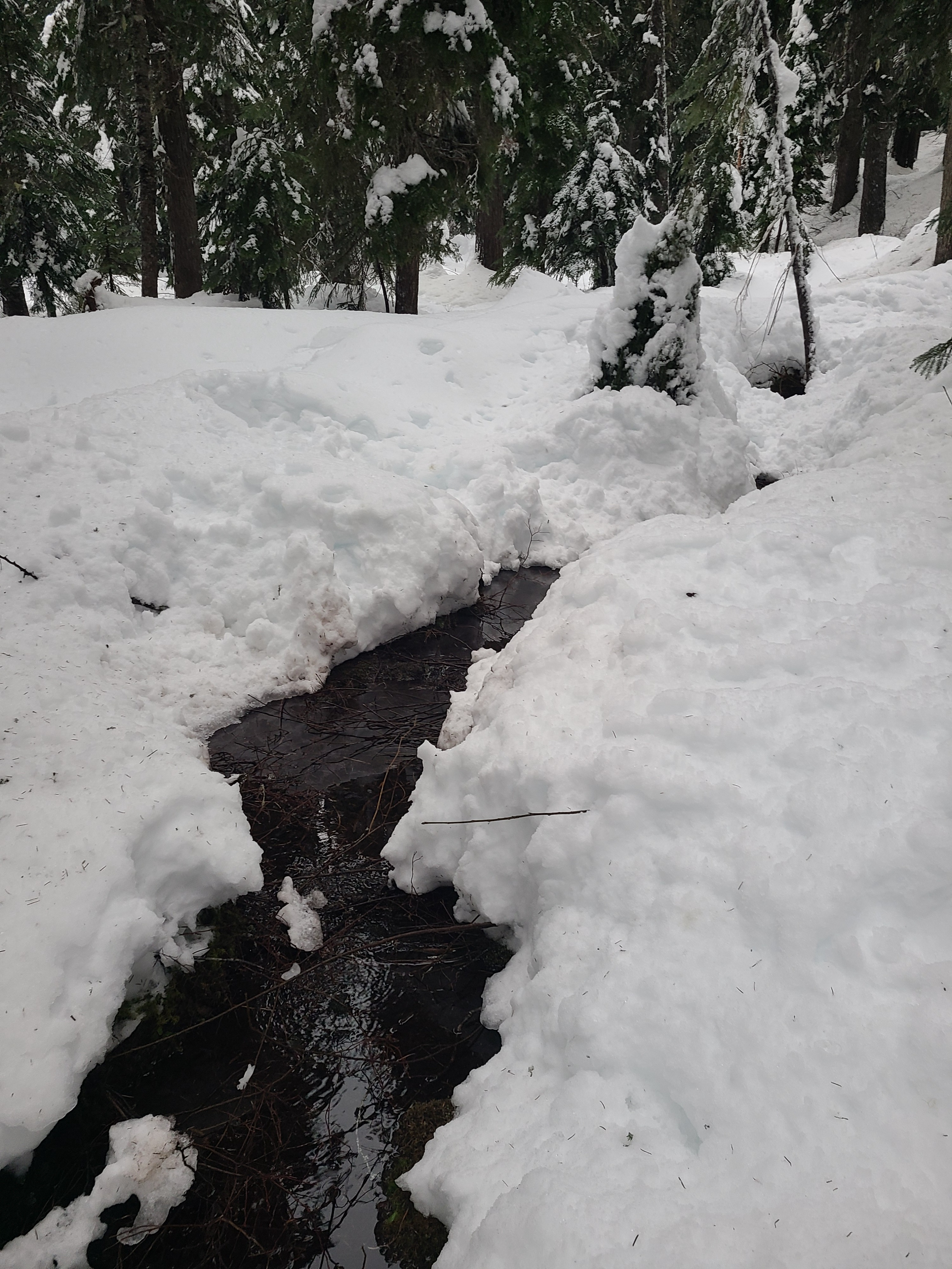
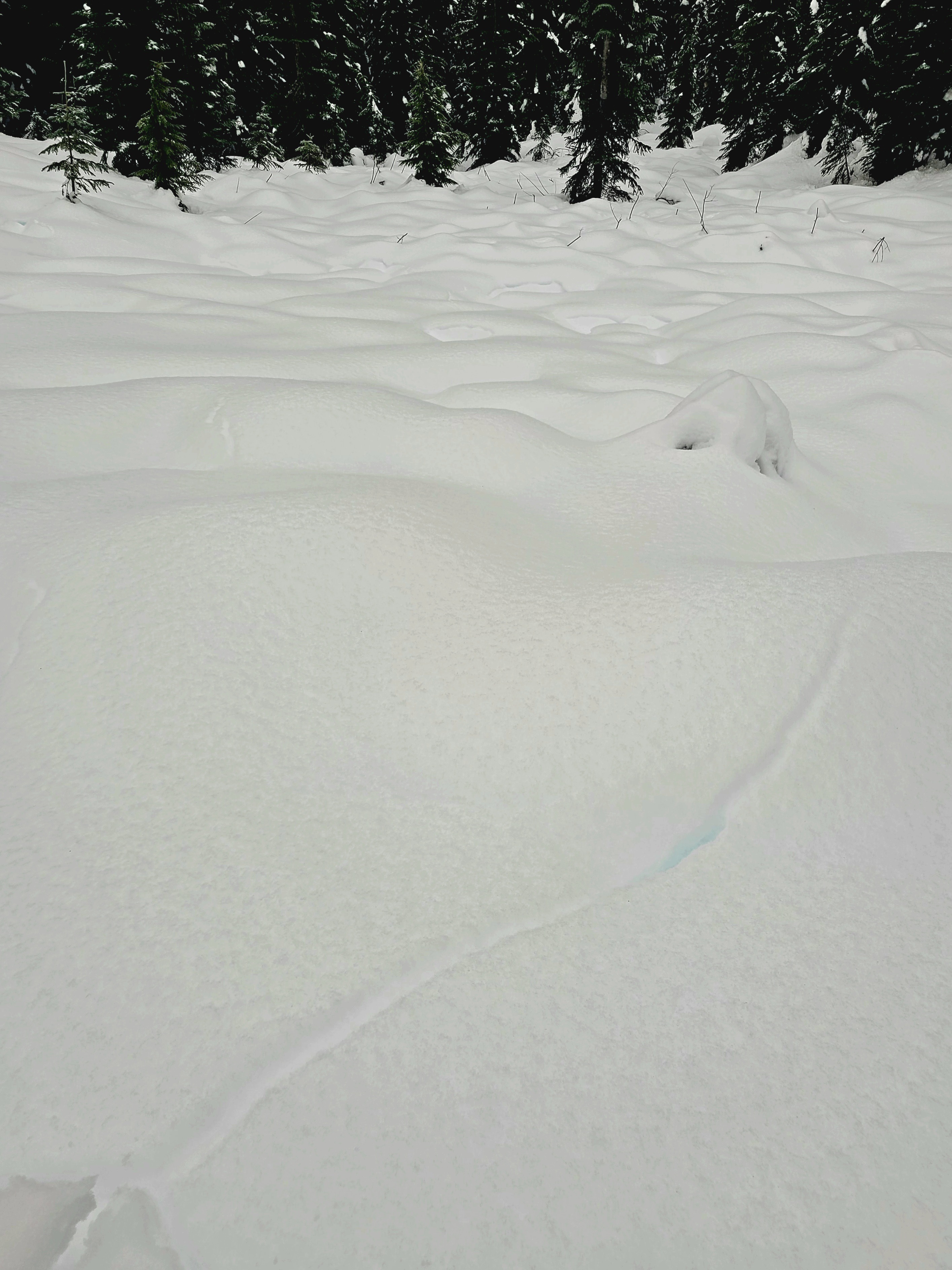
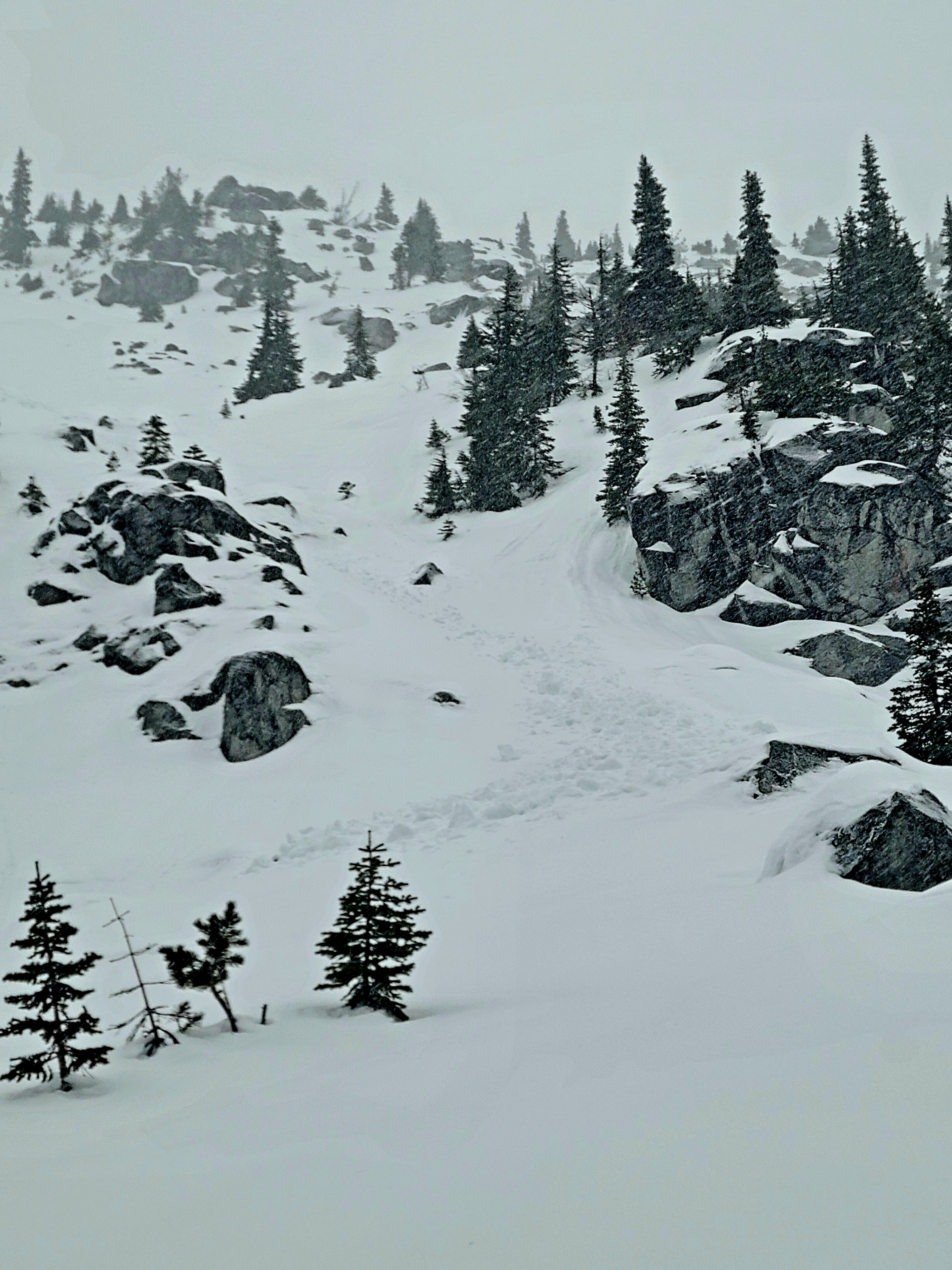
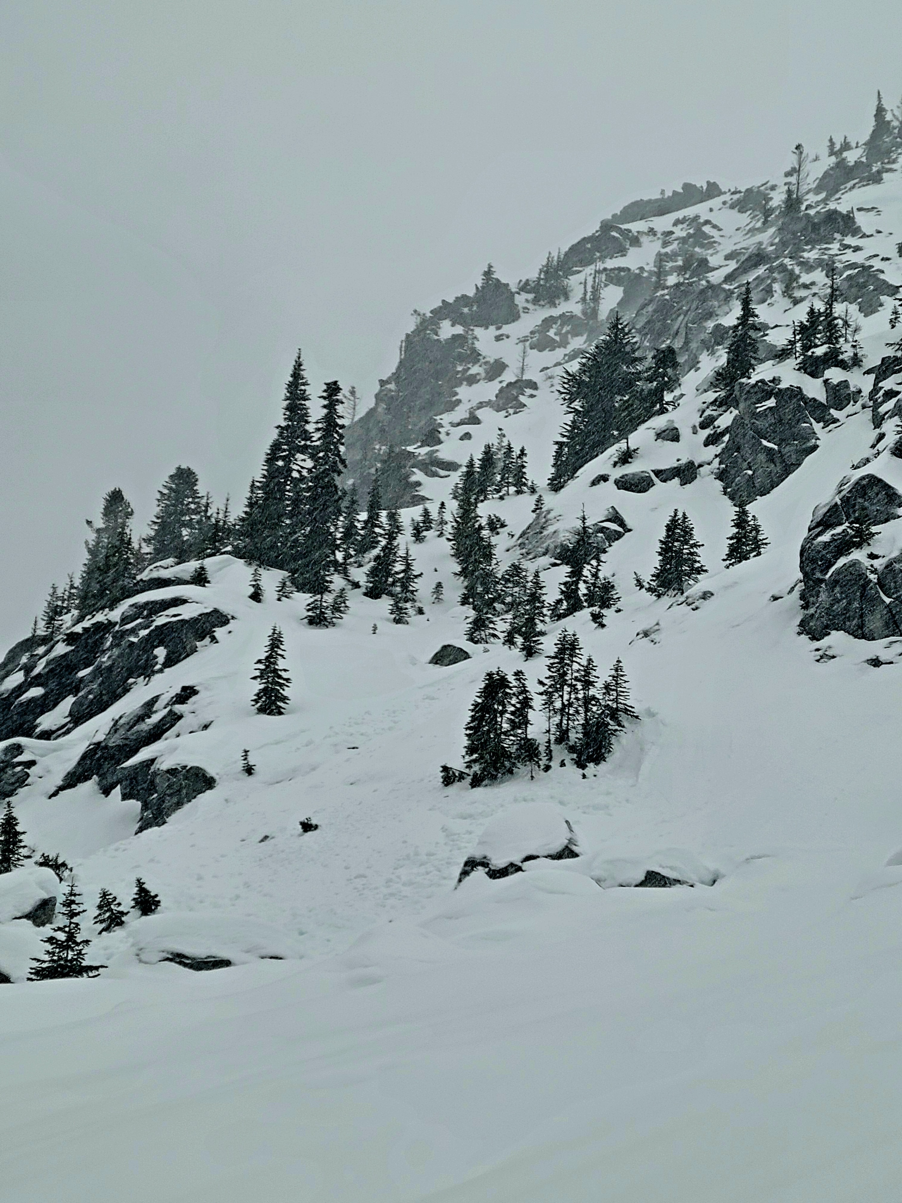
As I started the day, I had low expectations for travel conditions and thought more about knee injuries than avalanche concerns. Traveling in forested areas of the lower elevations is a challenging mix of refrozen chunder and occasionally punchy wet snow that you'd fall through. Surprisingly, as I gained elevation and got onto more sparsely treed slopes, travel became much better...I could potentially even say good? The crust in these areas was much more supportable with about 1-2cm of moist snow on the surface to keep it edgable. I did appreciate having ski crampons to make the travel less slippery. Other than evidence of the previous natural wet avalanche cycle from 12/17-12/18, I saw no signs of instability. The snowpack is capped with a thick crust at mid and lower elevations and has adjusted to the significant amount of water introduced into it over the past week.
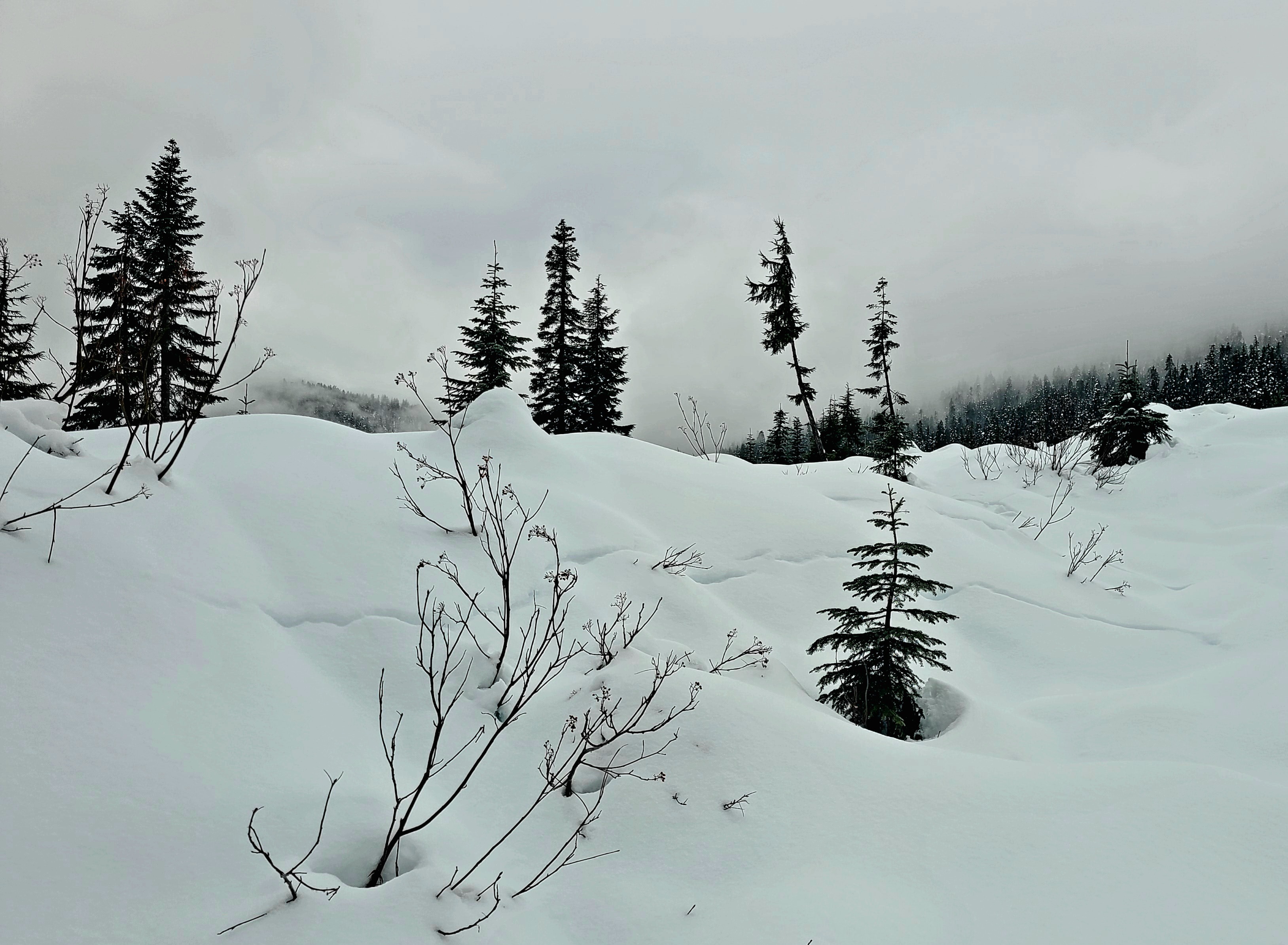
Snow and wind were starting to pick up as I dug my snow profile and exited the field. It was snowing around 1cm/ hr at 5000ft, making skiing more pleasant than I could have hoped.
Weather
- Cloud Cover
- obscured
- Rain Elevation
- 3500-4000ft
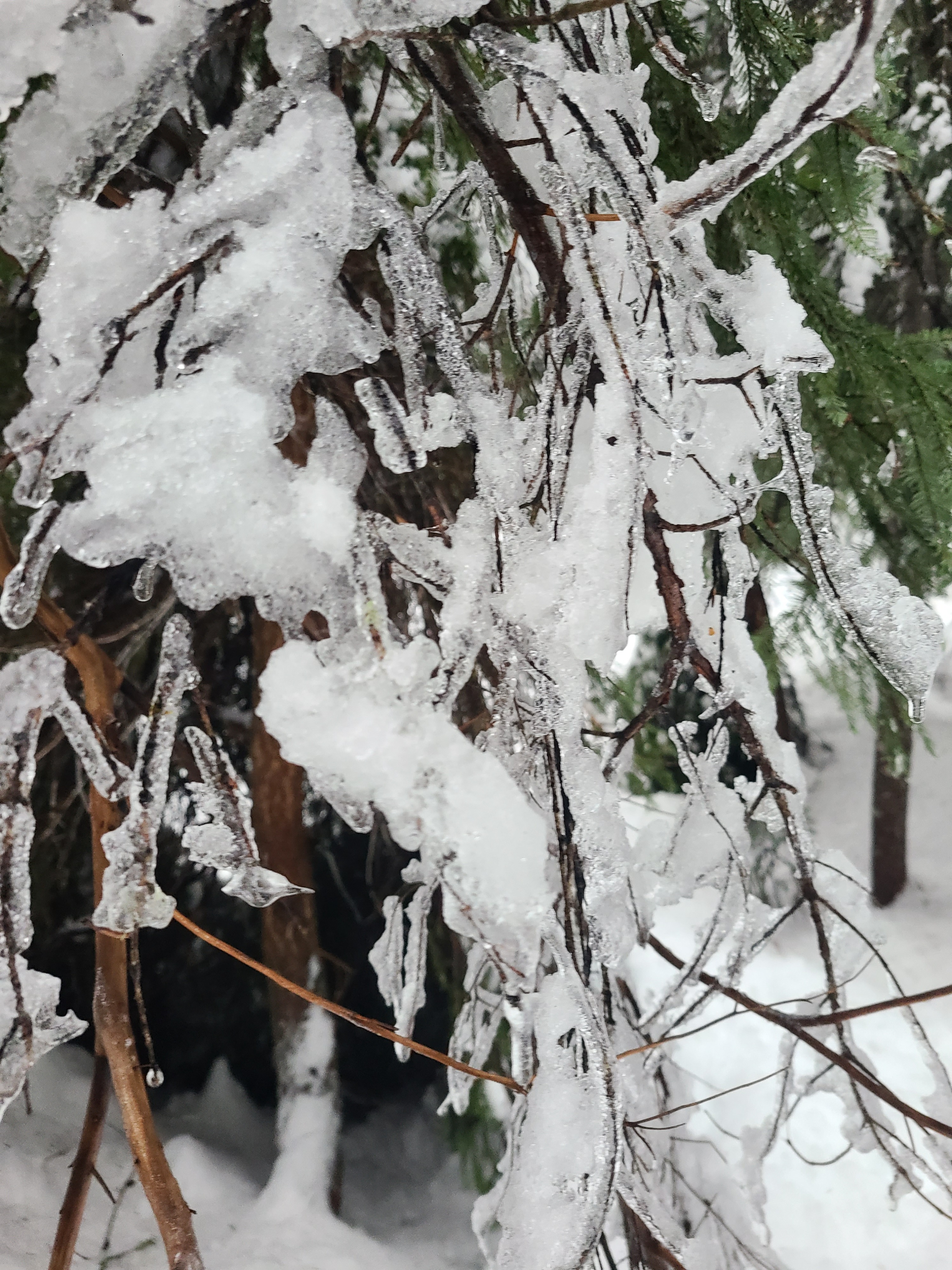
The day was generally warm and wet. Precipitation started around 10 a.m., with rain below 3500ft and snow (S-1) above 4000ft. I didn't travel up to the ridgeline, but winds down lower were light to moderate, with some stronger gusts.
Snowpack
At 3500ft: The height of snow is 60cm, with a thick, mostly supportable freezing rain/melt-freeze crust on the surface.
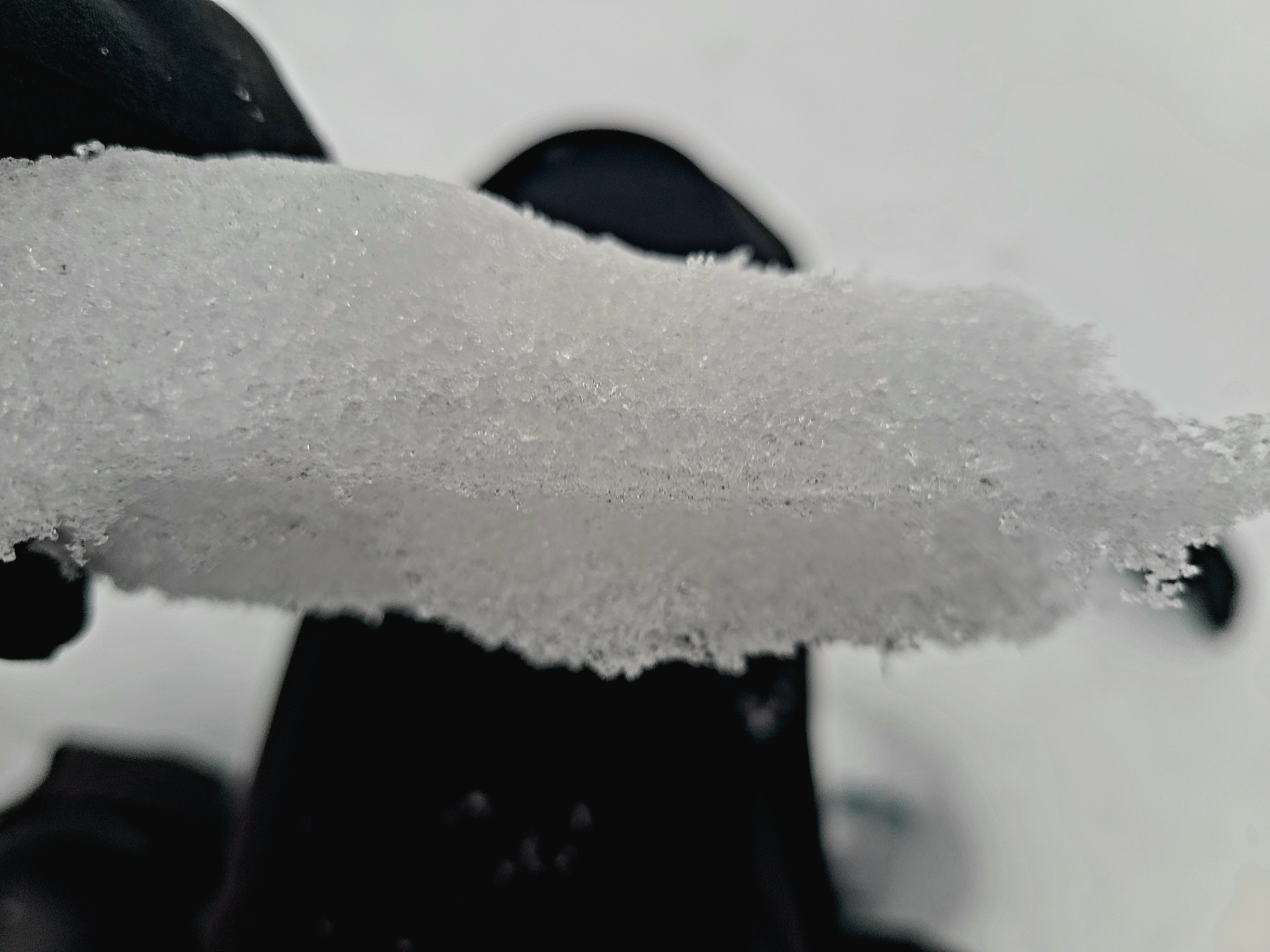
At 5000ft: The height of snow is 122cm. At these mid-elevations, the surface crust is knife hard with 10-15cm of re-frozen melt forms below. The surface was supportable for skis but not boots and boot pen was 20-30cm. The mid-pack consists of strong, moist, rounded grains with occasional melt-freeze crusts and wet layers where water had pooled. The 12/17 interface is a melt-freeze crust from sunny days after the 12/8 storm cycle. This interface failed in compression tests with resistant planar results (CT28 RP). The 12/7 melt-freeze crust is buried 80cm deep, and the lower snowpack is pencil-hard melt-forms to the ground.
Avalanche
- Size
- D1
- Aspect
- SW
- Trigger
- N
- Elevation
- 5500 ft
Wet Loose avalanches that ran during the 12/17-12/18 atmospheric river.