
Quick report
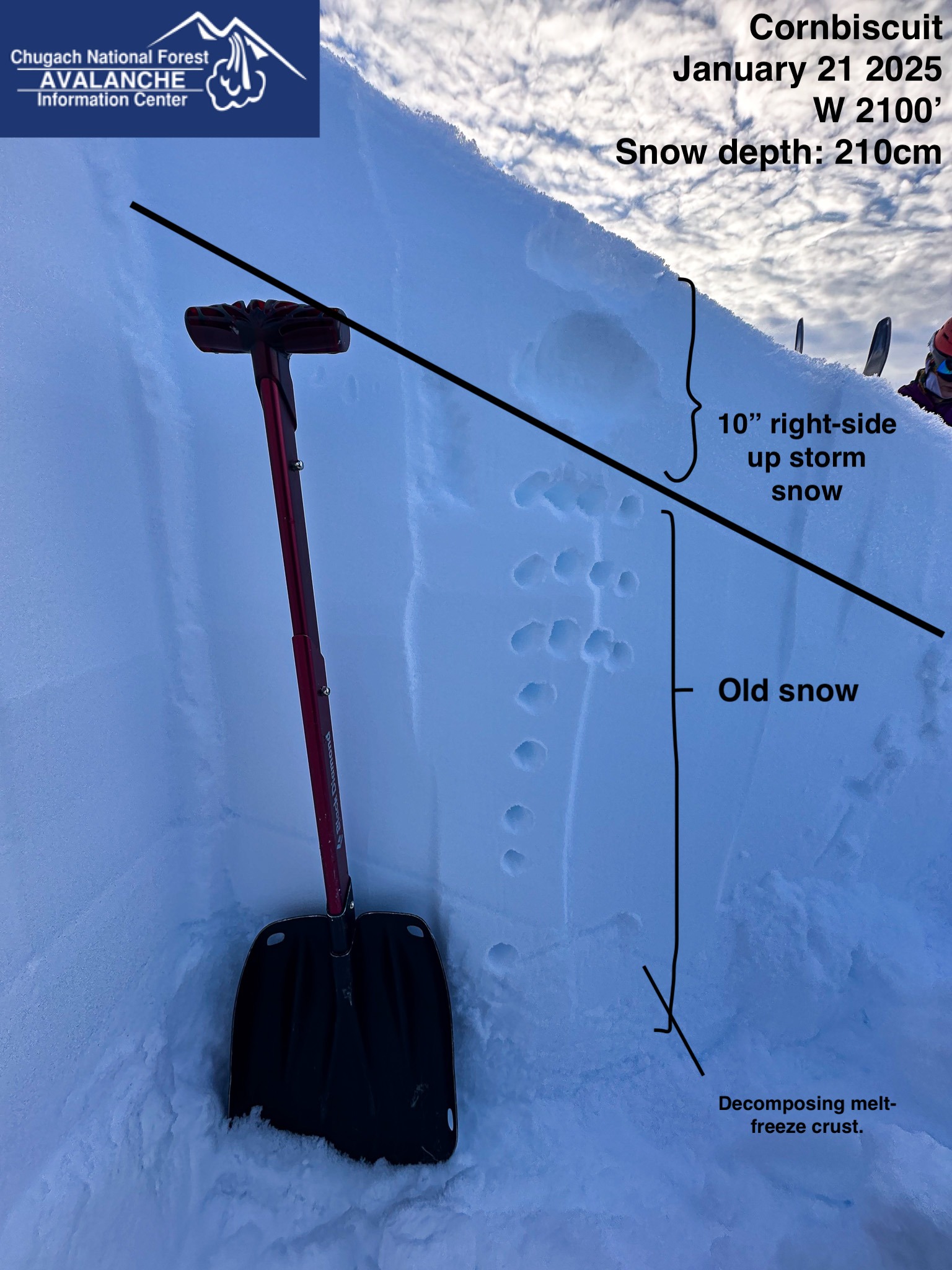
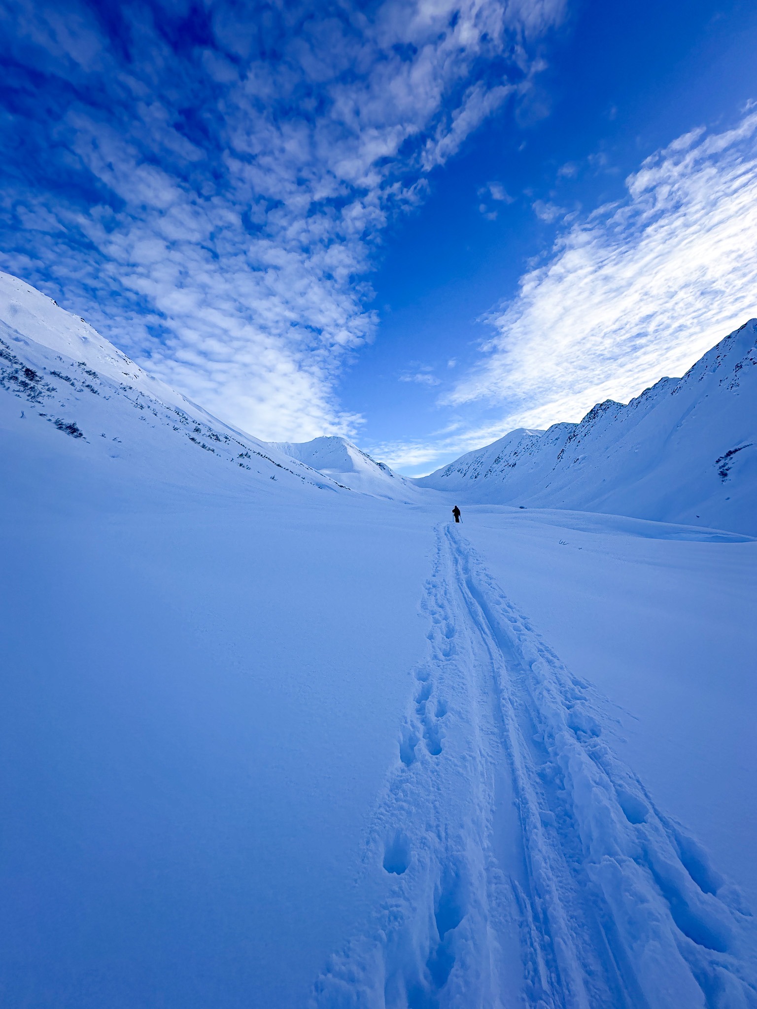
We toured up towards Bertha Creek and were curious how the new snow was bonding to the old snow surface, and whether we would see any wind effect from yesterday's storm. In our snowpit and travel tests we observed that the new snow was bonding well to the old snow surface and the best snow quality was beneath the ridgelines where the snow surface was untextured. Our high point was 2100'.
Weather
- Cloud Cover
- broken
- Wind Loading
- none
- Rain Elevation
- 1100
- Recent Snowfall
- 25-30
- Snow Avail For Transport
- moderate amounts
The weather was stable all day with calm winds and great visibility, with some high clouds building in the afternoon.
Snowpack
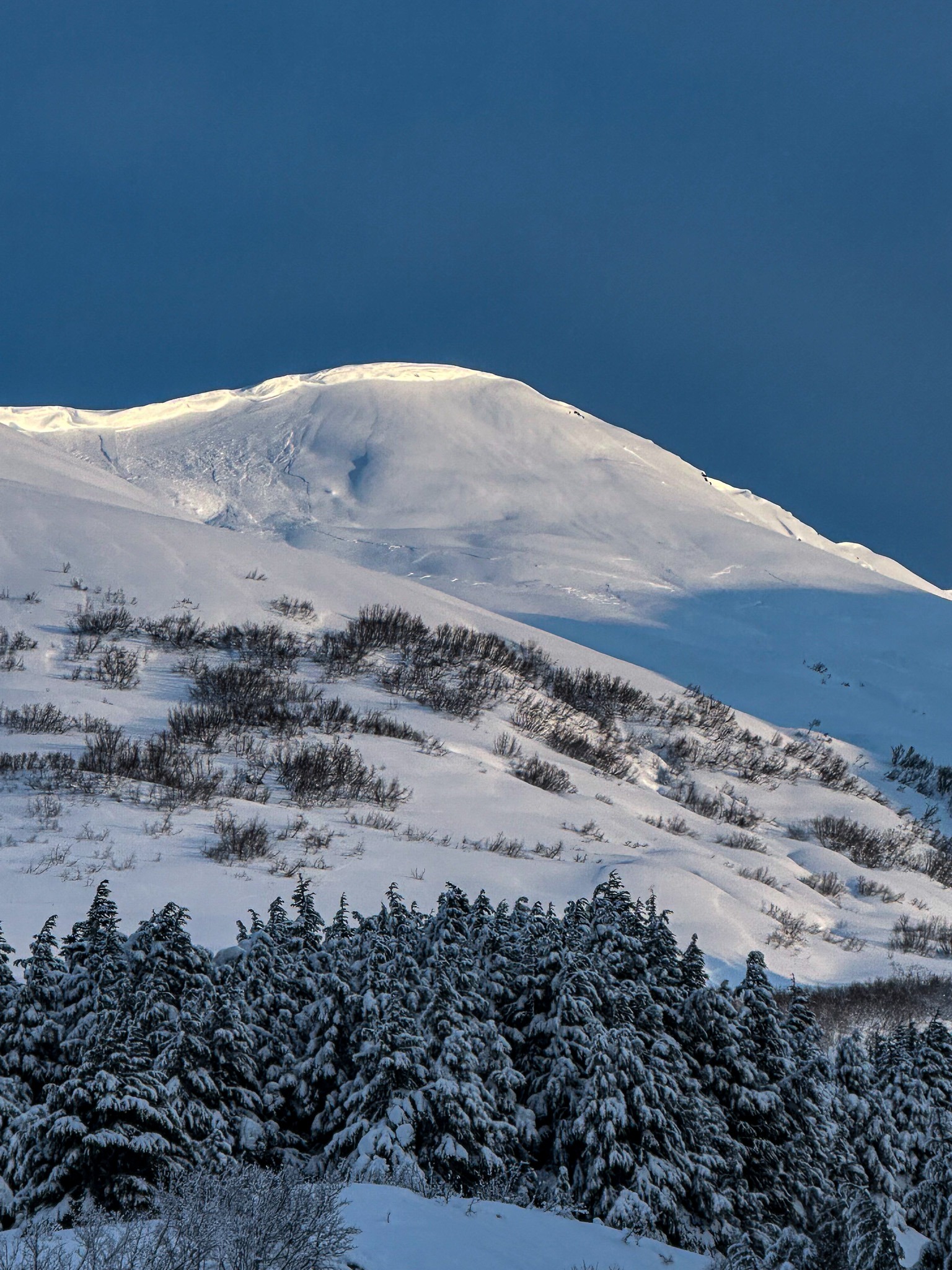
We observed a melt-freeze crust on the snow surface starting at the parking lot which disappeared quickly, within 100ft of elevation. At our high point of 2100' we dug a snowpit on the W face of Cornbiscuit, we did not observe any results in our tests. In hand pits and travel tests, we observed the new storm snow was right-side-up and bonding well to the old snow surface. We did not travel into the alpine but observed wind texturing on the snow surface, especially on SW aspects and near ridgelines.
Avalanche
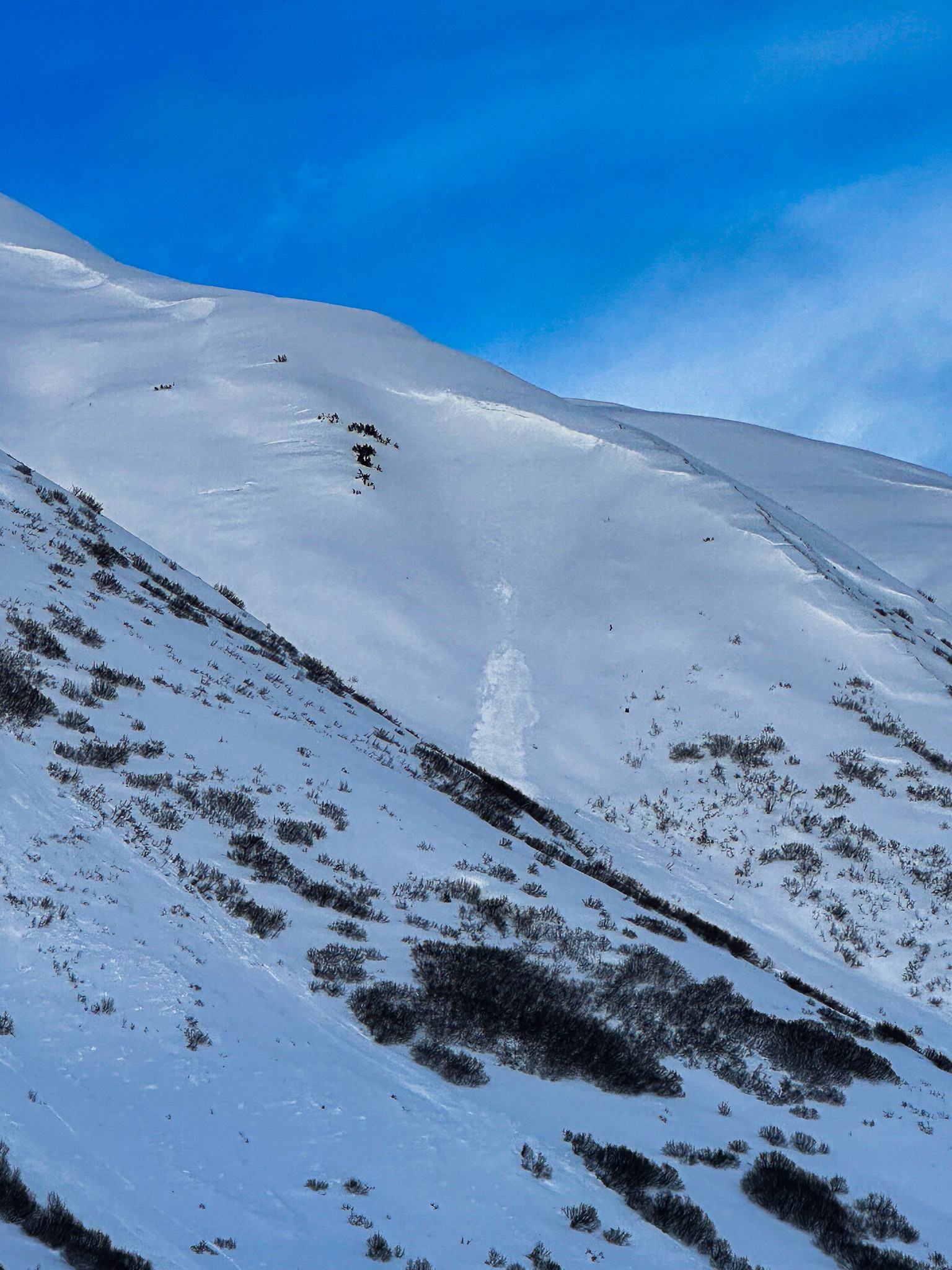
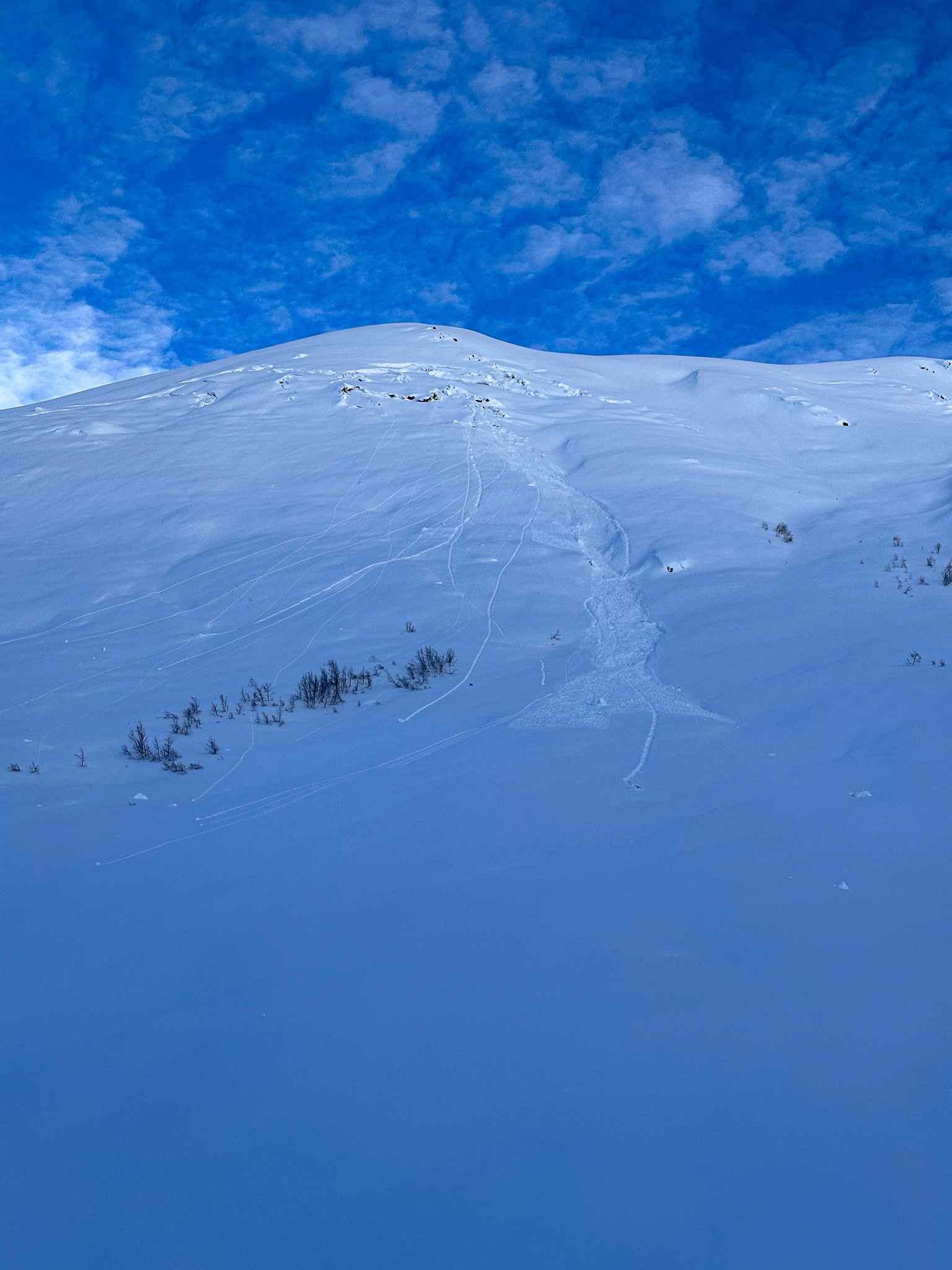
We saw debris from some mid-storm avalanches that had been partially covered during the storm yesterday on Seattle Ridge. On a SW face of Magnum, we observed what appears to be a cornice-triggered slab avalanche, the crown extended across the entire face but ran only ~100ft. Difficult to estimate from a distance.