
Quick report
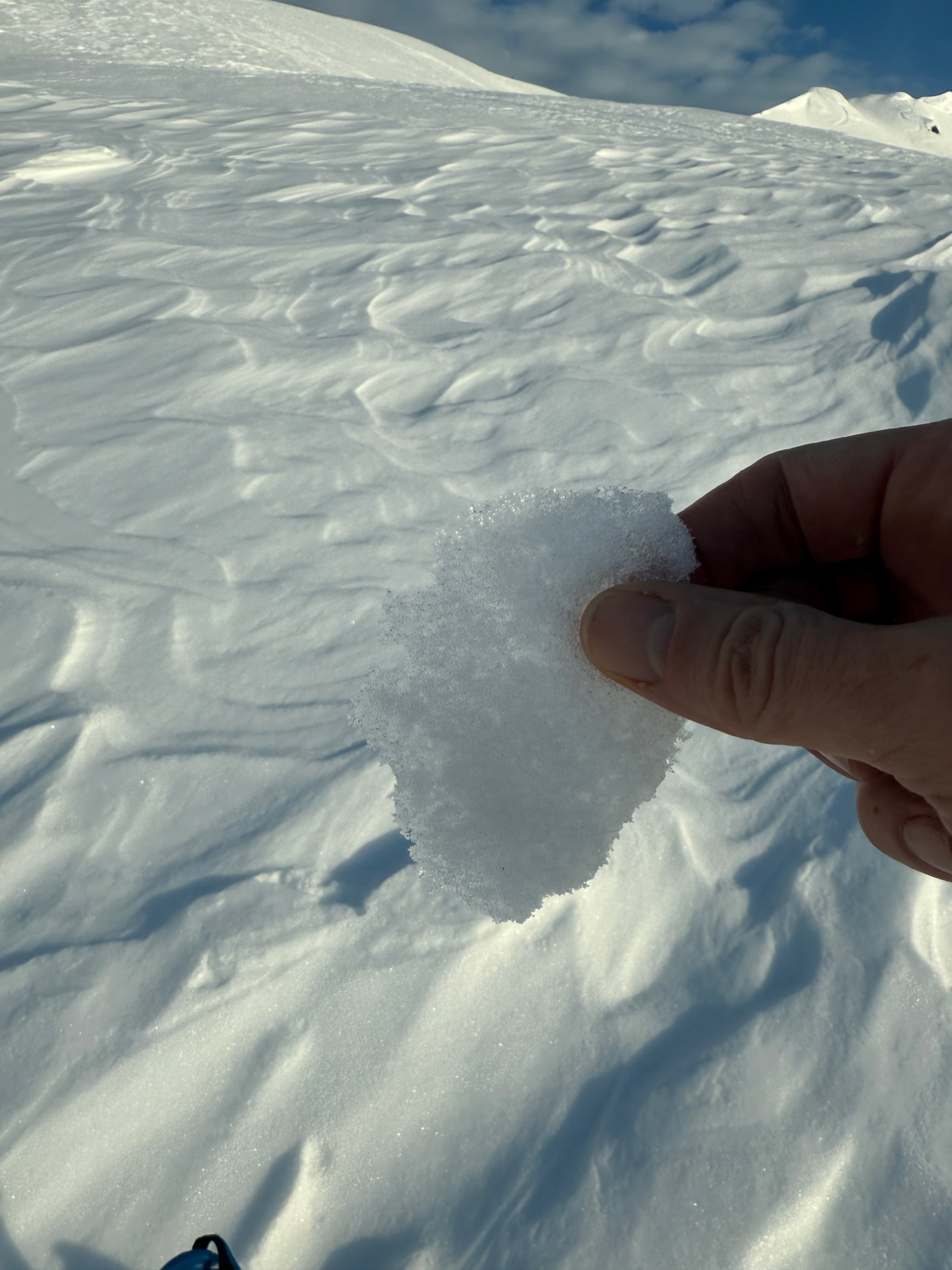
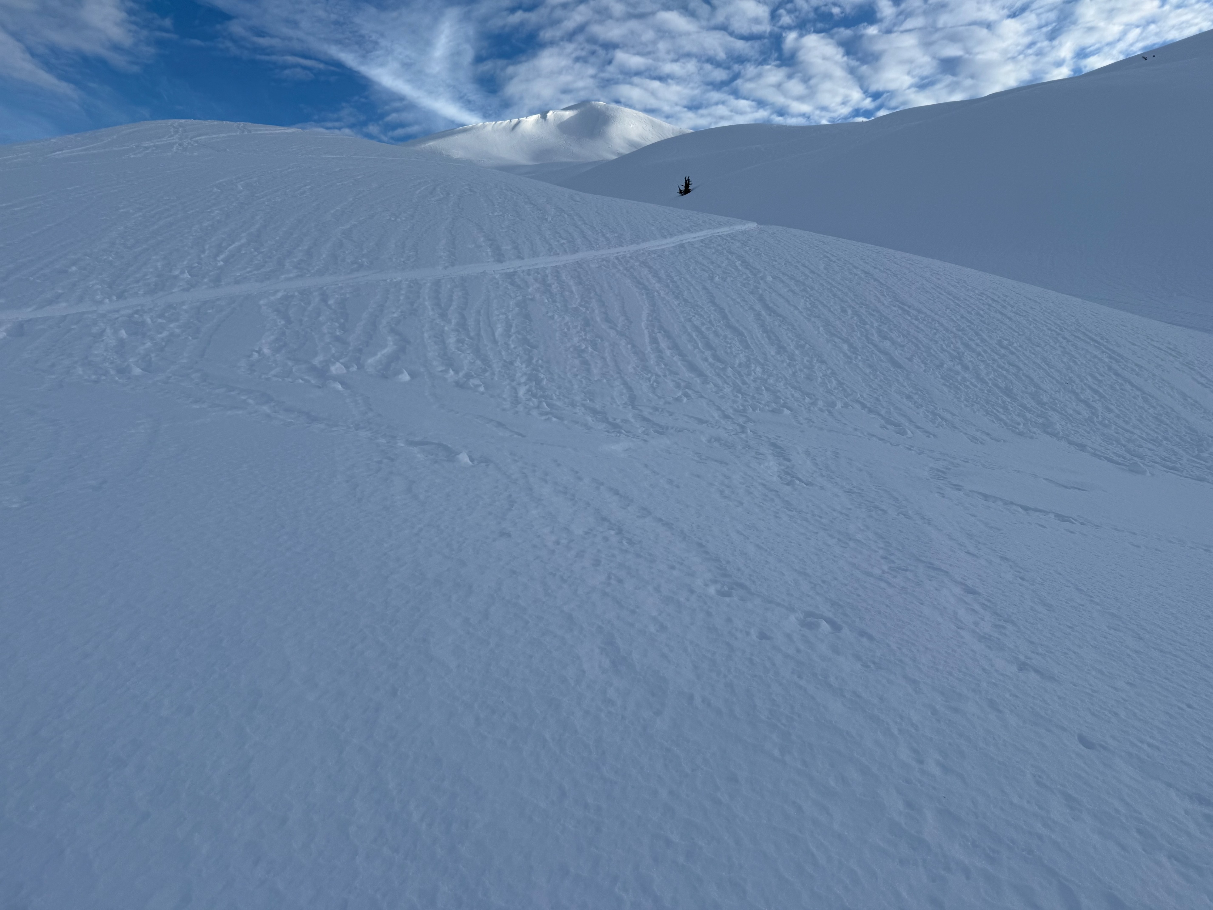
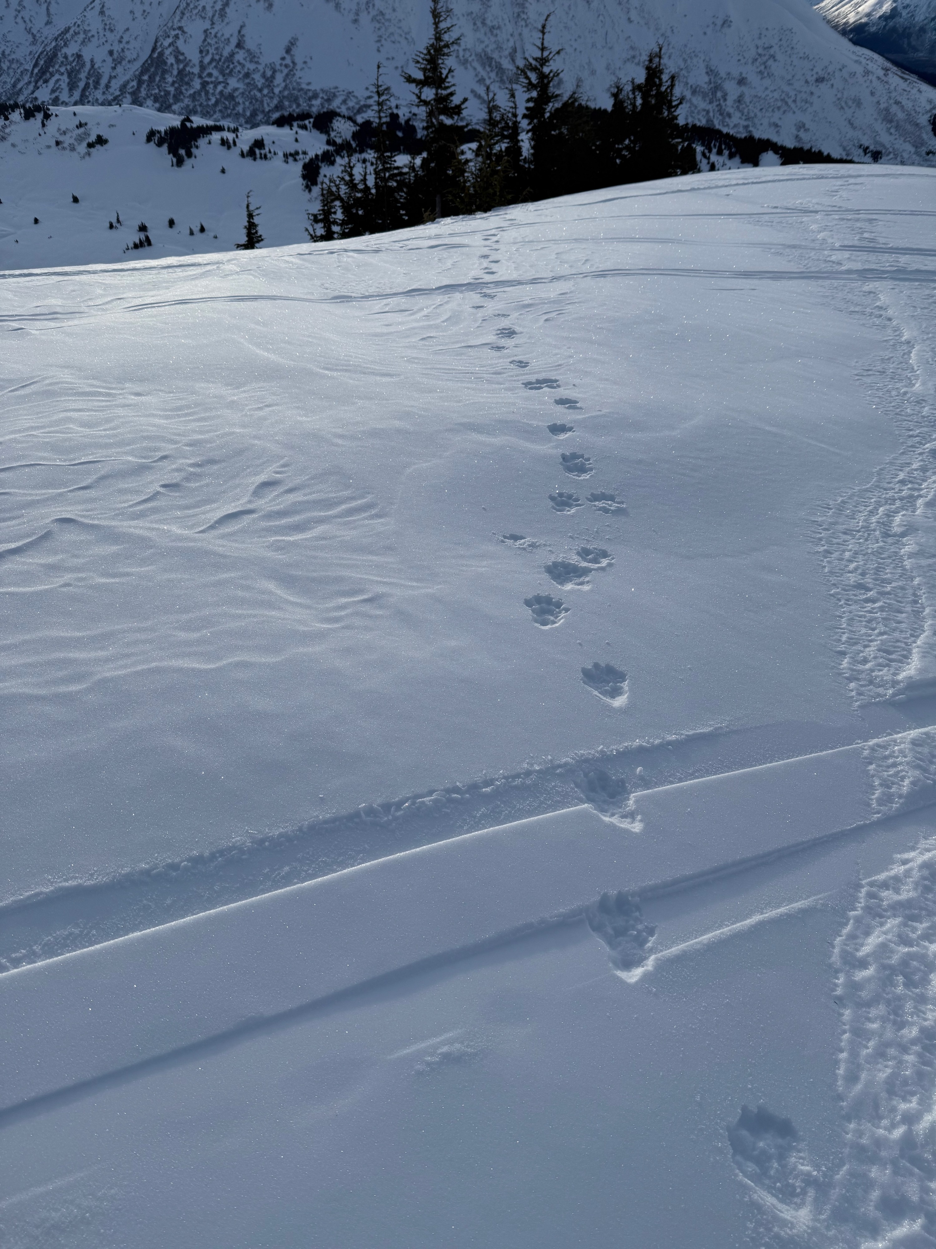
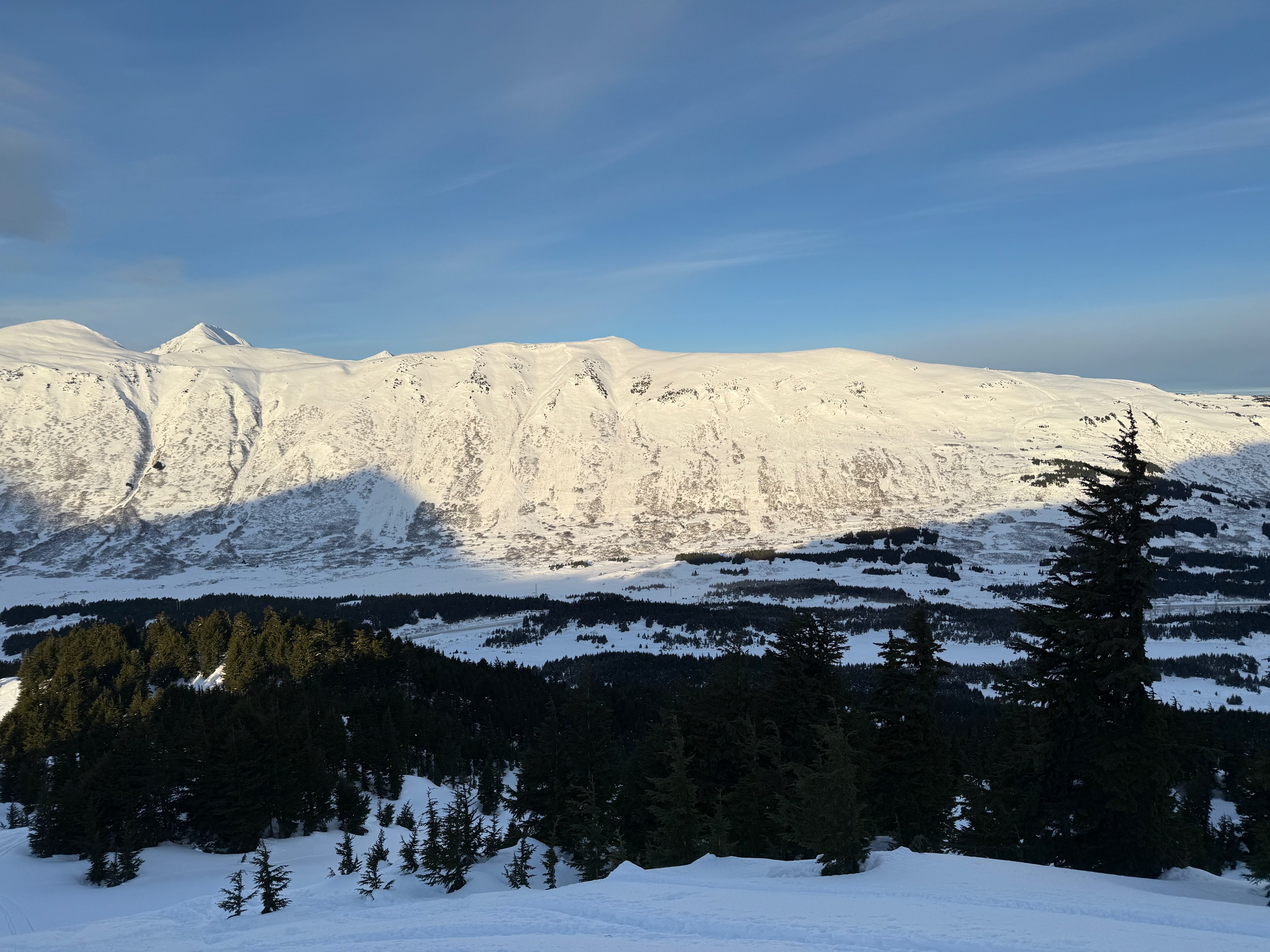
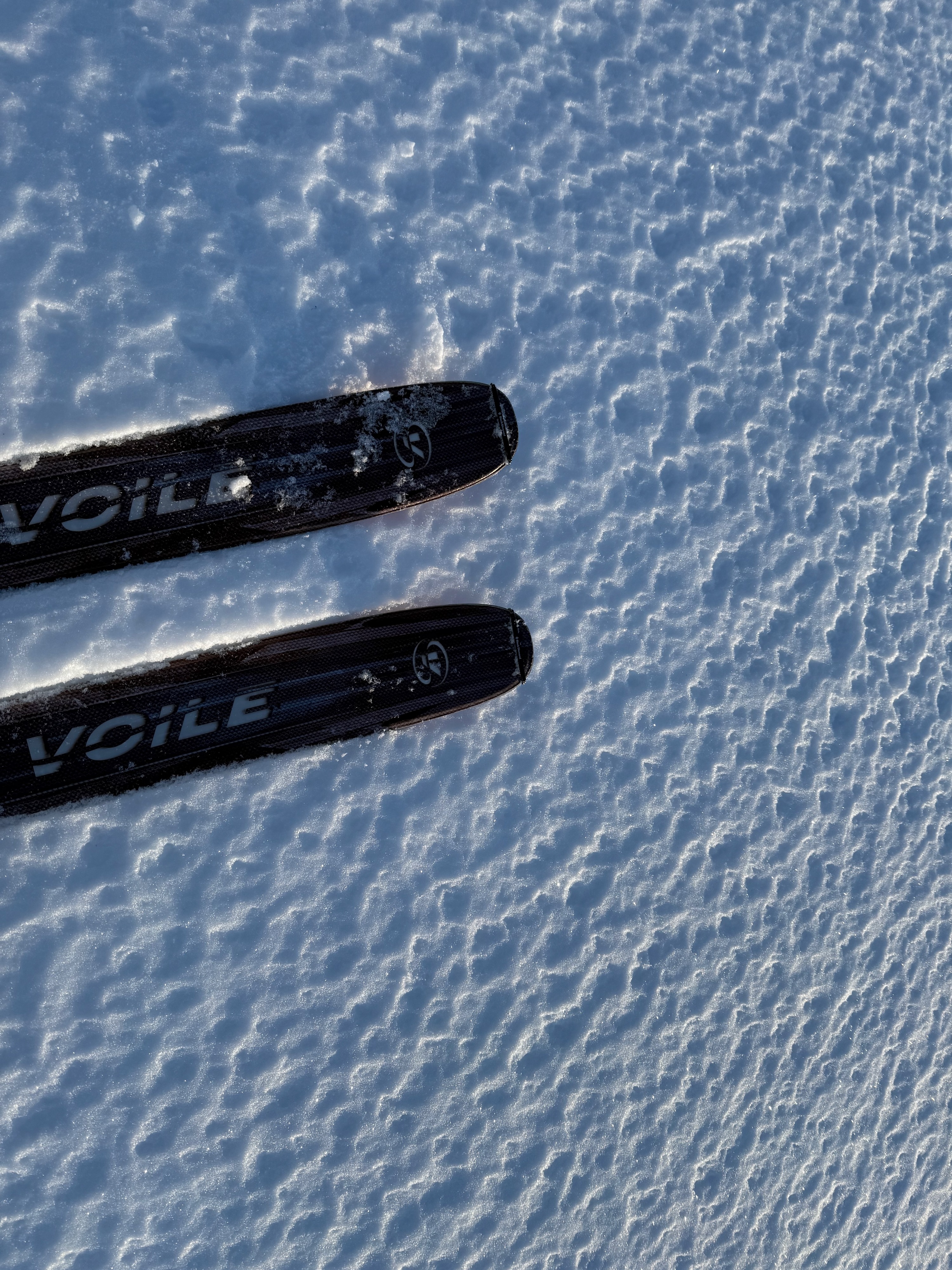
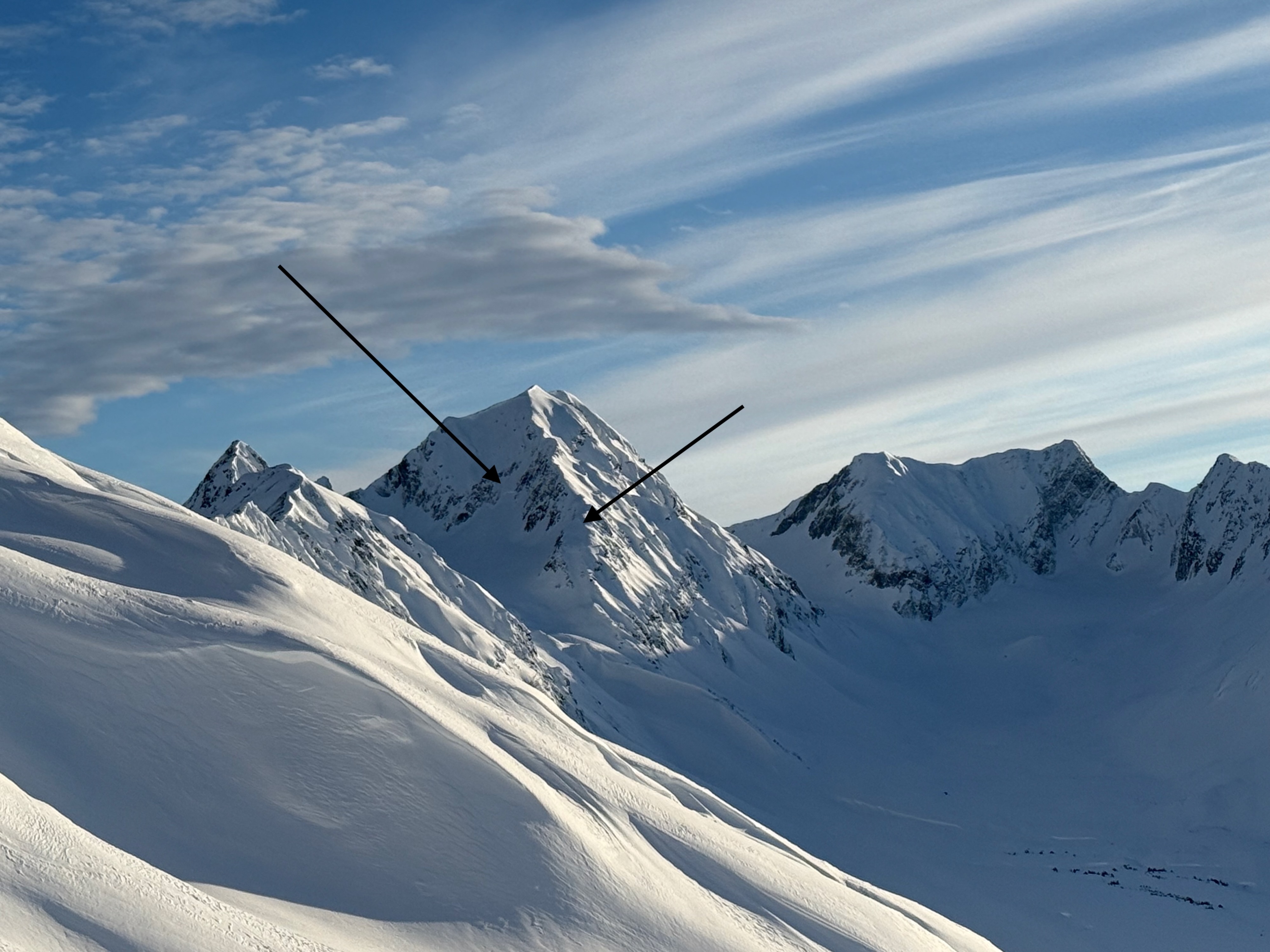
We toured from the Center Ridge parking lot up to Tincan Common. We were tracking the new rain crust, general surface conditions, and the December facets, our layer of concern. At the road level, the crust was supportable but transitioned to breakable and "grabby" pretty quickly. There were visible runnels up to about 1700'. Small surface hoar was observed on the surface until around 1200', and then a few centimeters of small near-surface facets were on top of thin melt freeze crust until about 2300'. Above that, there was a wafer-thin melt-freeze crust observed on the surface until close to the ridge at 3000'. Steep edges of the skin track, which faced south, had visible meltwater. Skinning on the up track between Common and Hippy bowl, the top couple of centimeters of snow were becoming moist in the direct sun with 40 F air temps. There was minimal ski penetration from around 1800' to the ridge at 3200'. The wind effect is quite visible. The supportable surface is somewhat misleading. It feels like it would be harder to impact the weak layers, but the unstable test results and the Sunburst avalanche with previous tracks on the slope illustrate the continued risk.
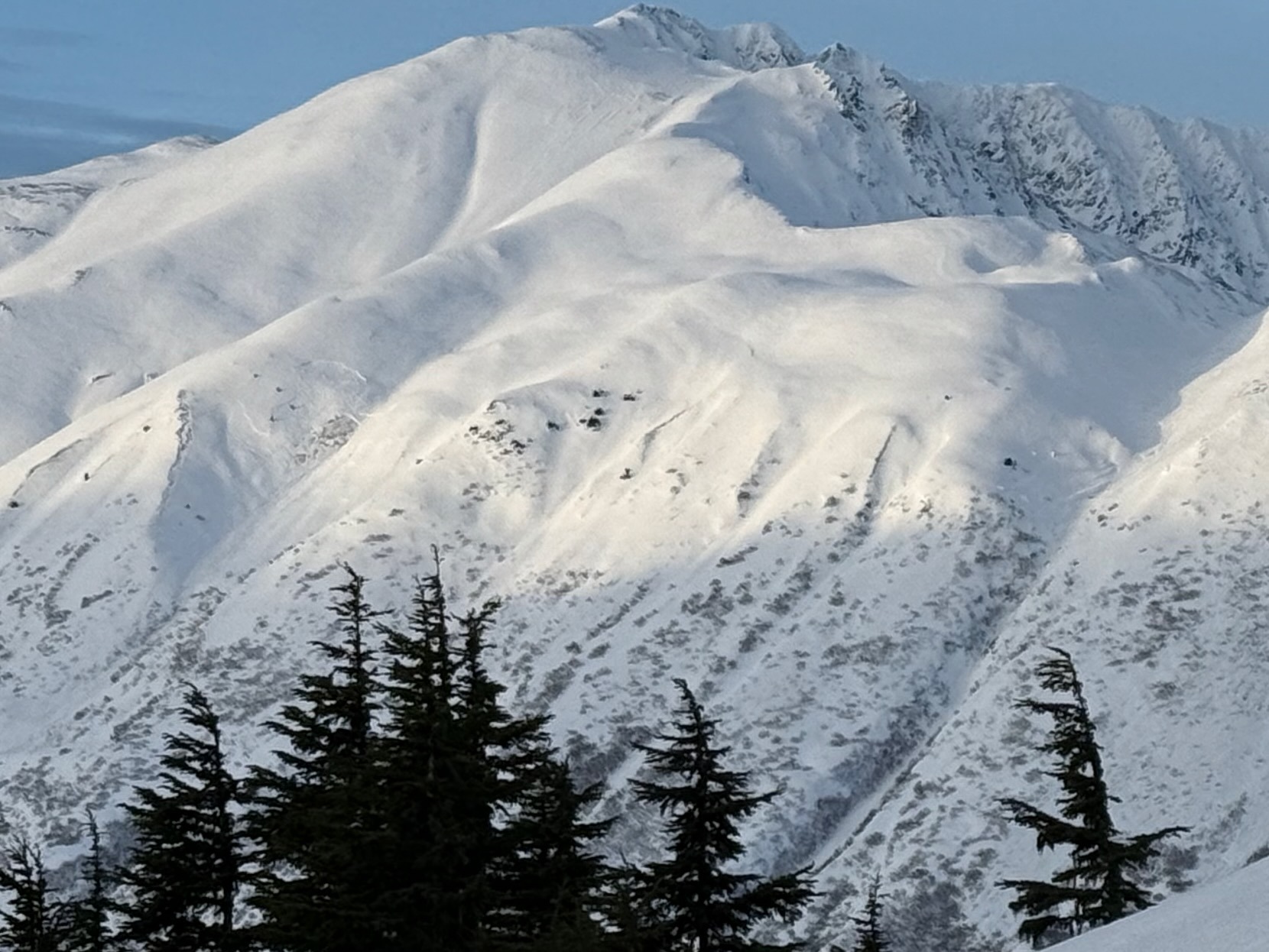
We traveled off the skin track multiple times to see if we experienced any collapsing, but did not. We observed one freshly triggered avalanche on Sunburst while doing road obs after our tour. We saw evidence of the natural avalanche cycle from last Friday/Saturday. Crowns were visible on Kickstep and on many slopes back towards Pastoral. The majority were northfacing failing below steep rocky ridges. We also saw avalanches on the northside of Pete's South, in Super Bowl, on Seattle Ridge, Wolverine, Sharks' Fin, and off of lower CFR.Weather
- Air Temp
- 28 at the truck, 40 at the ridge
- Cloud Cover
- scattered
- Wind Loading
- none
- Snow Avail For Transport
- small smounts
Partly cloudy with some valley fog near Girdwood at the start and end of the day. Calm winds. Temps in the 20s F at valley bottoms and the high 30s to low 40s F at the ridge.
Snowpack
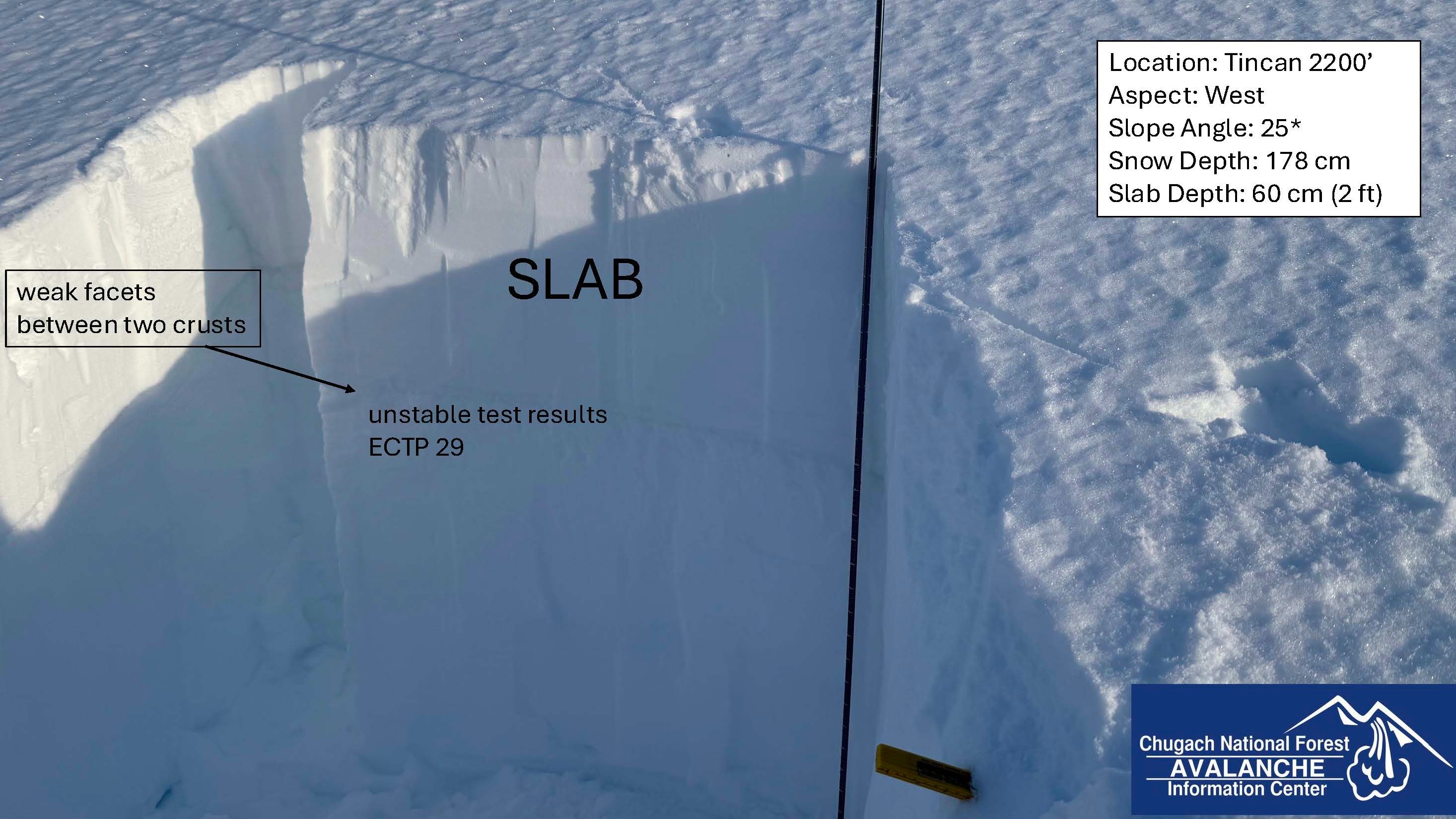
The December facets are generally 2 to 3' deep. We dug snowpits at 2200' on a west aspect and at 3200' on a southwest aspect. In the pit, at 2200', our layer of concern (weak facets between two melt freeze crusts) was 60 cm down (2'). We got unstable results in our snowpack test, ECTP 29, failing in the facets. In our pit at 3200', the weak layer was 35 cm deep (just over 1') below a pencil-hard wind layer. We got ECTP 16 failing in the facets. We targeted a shallow spot in the alpine to test the weak layer. The snow depth was 135 cm, but a few feet over was 320 cm. There is significant variability due to the strong winds during the last storm. The variable slab depth is tricky. It will likely be easier to trigger a slab from a thinner spot, which could propagate into a terrain with a much deeper, more destructive slab.