
Quick report
- Cracking
- widespread
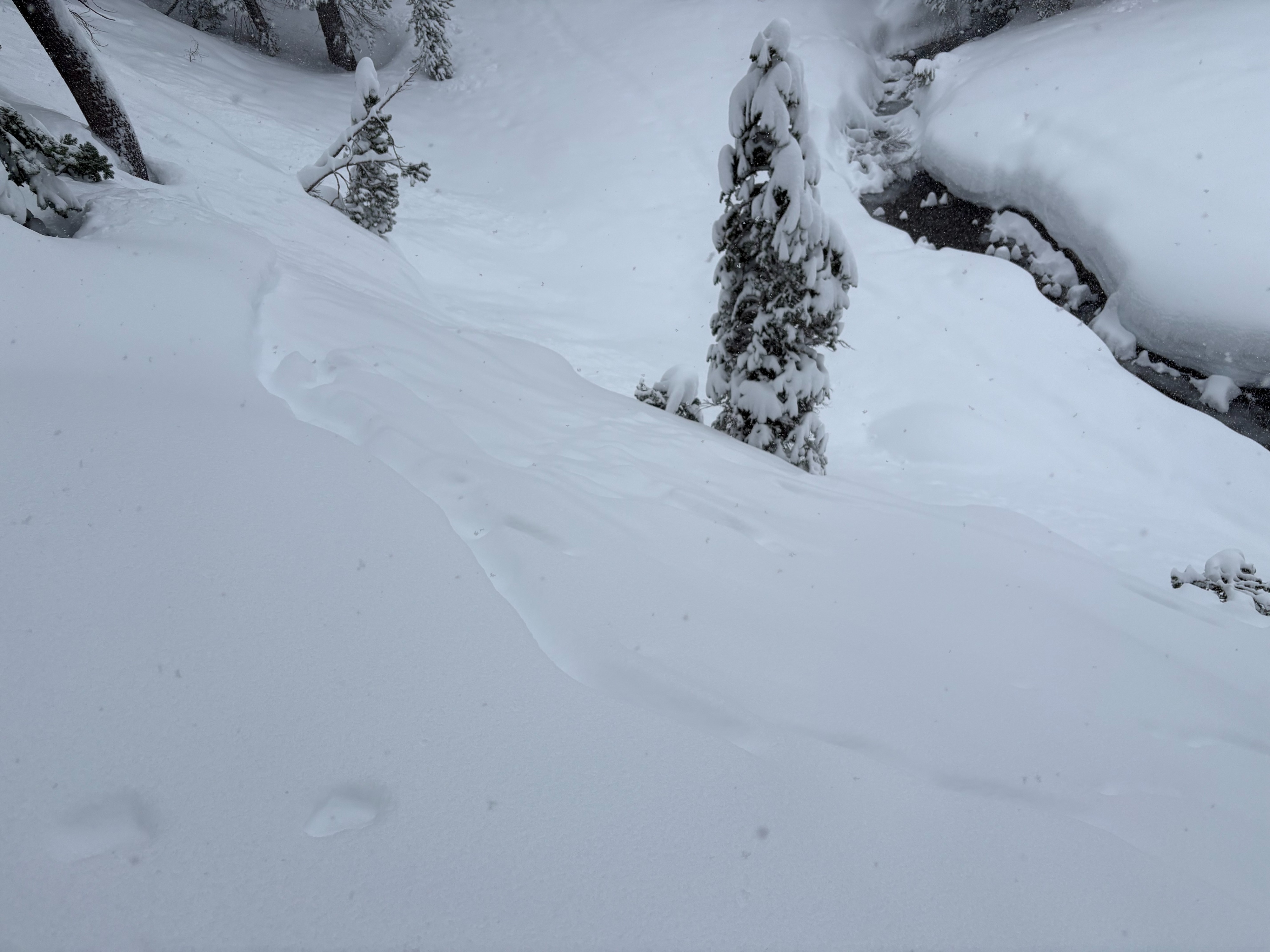
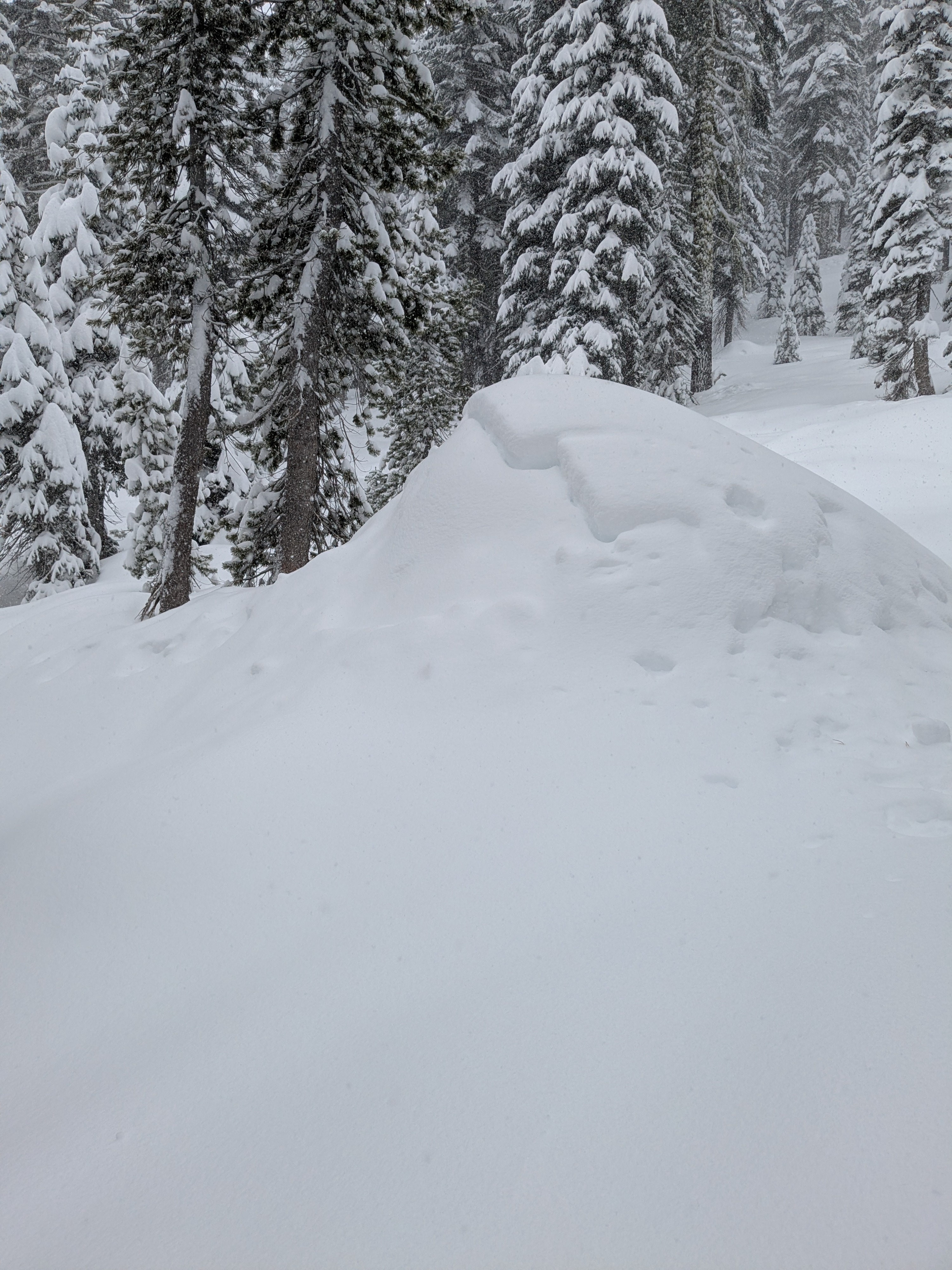
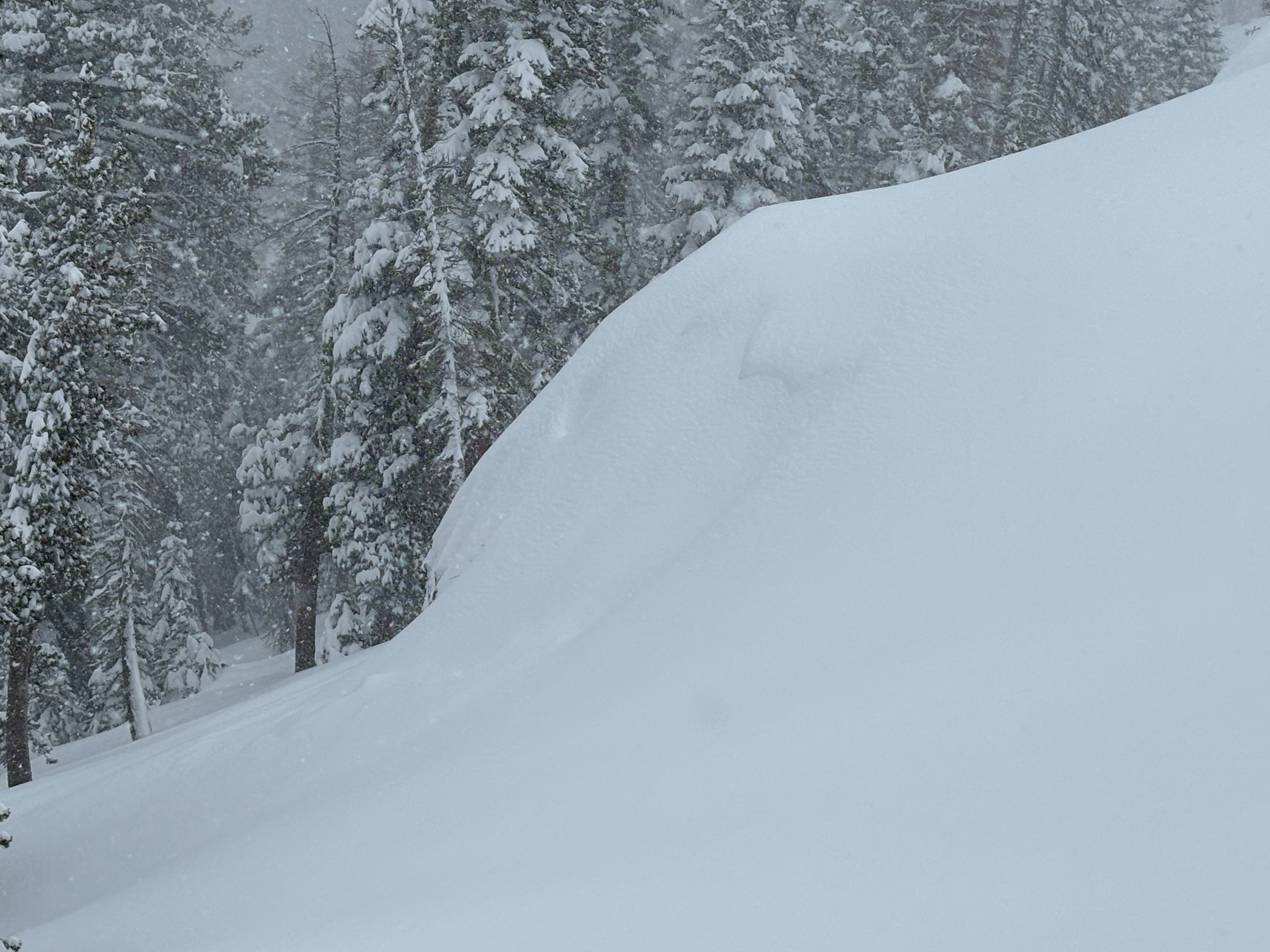
Widespread cracking in wind protected areas and in wind drifted areas.
Weather
- Air Temp
- Below freezing
- Cloud Cover
- overcast
- Wind Loading
- moderate
- Rain Elevation
- 5500
- Recent Snowfall
- 40
- Snow Avail For Transport
- large amounts
6-8 inches of snow overnight on Donner Summit with continuous snowfall throughout the day at around 1-2''/hour. S-SW winds were gusty above 8000'.
Snowpack
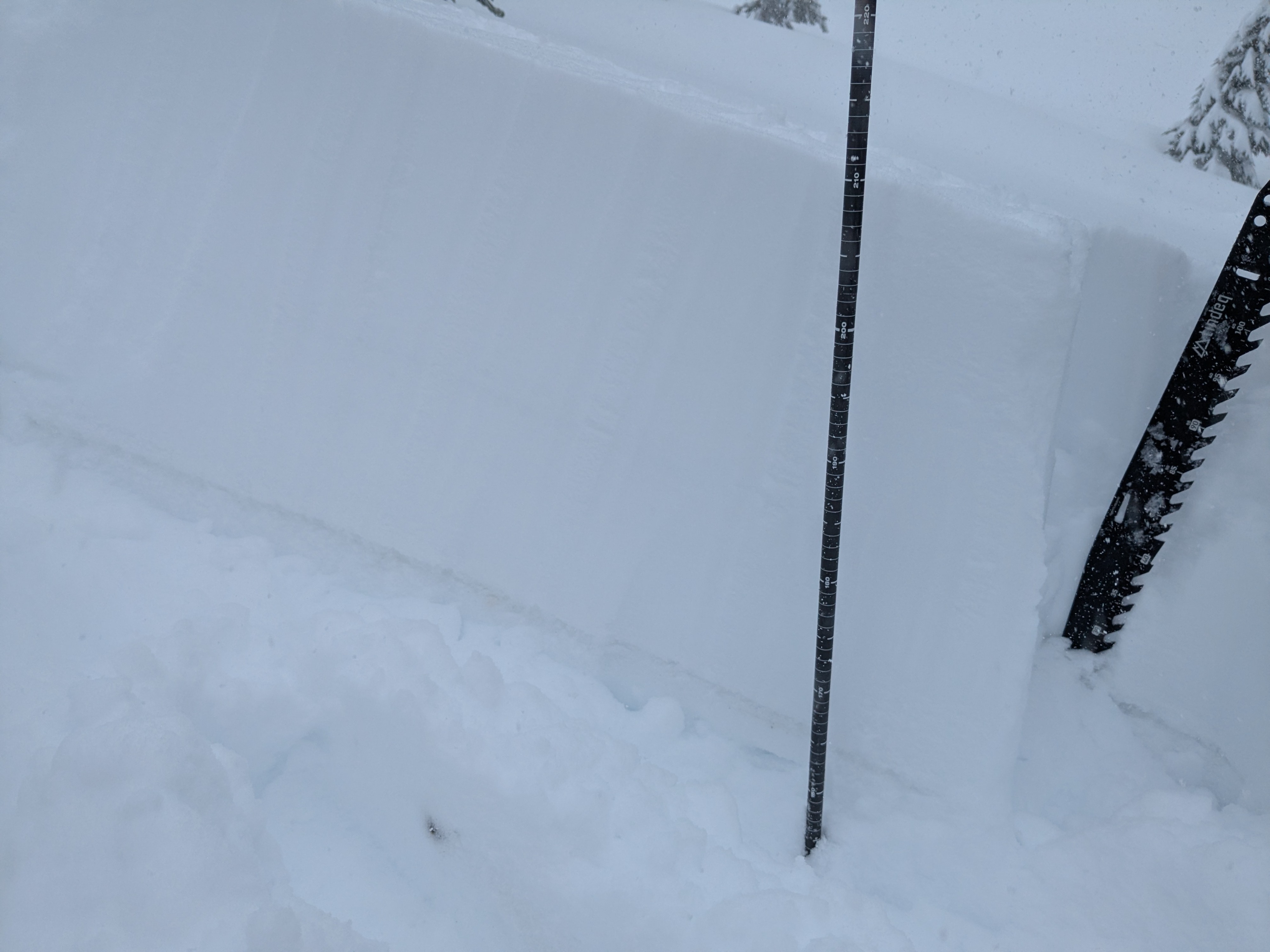
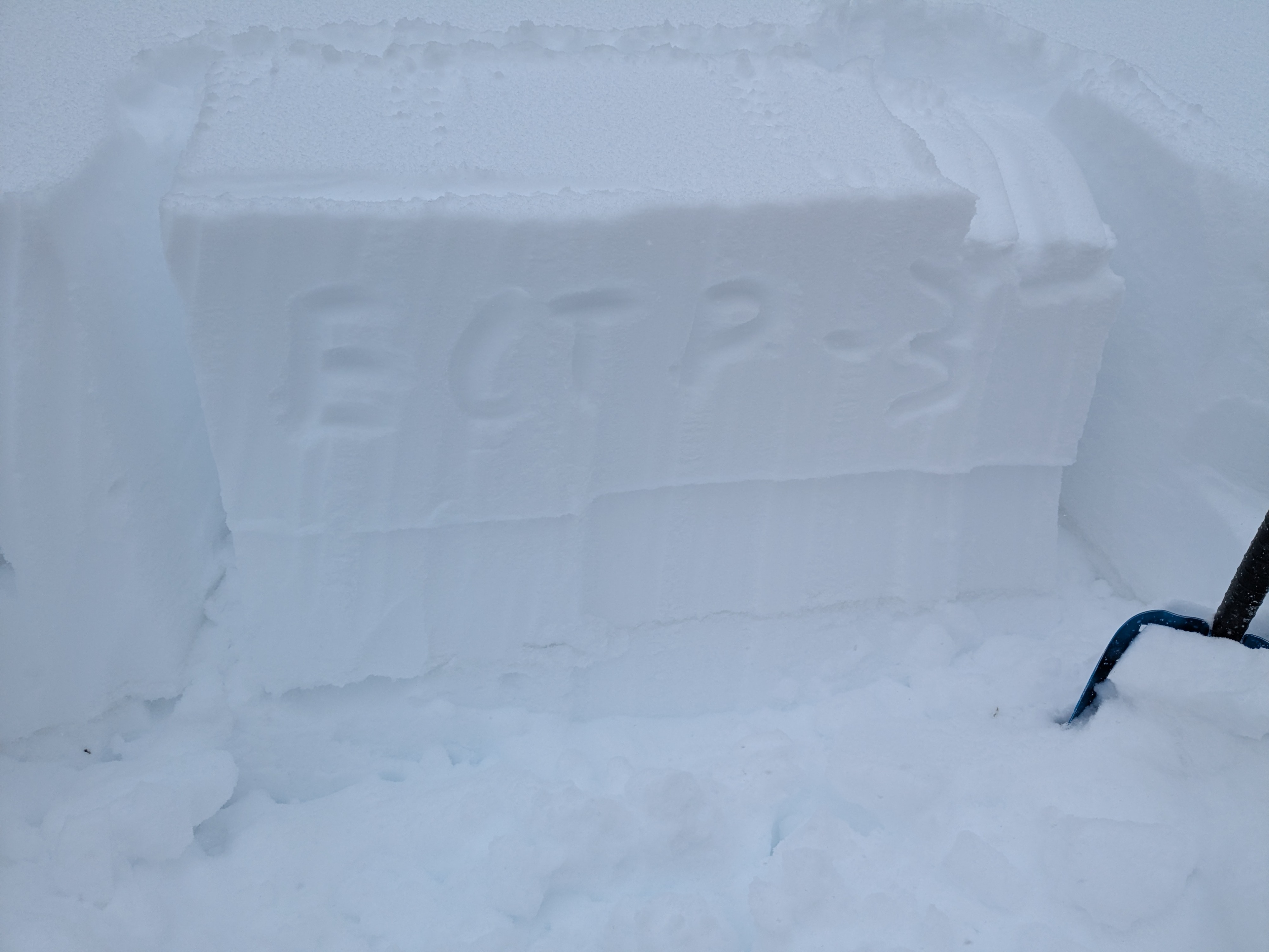
Donner Summit had the most snowfall overnight and through today in the forecast region. We arrived to Castle Peak with around 6-8 inches at the trailhead and on our departure we had up to 1.5 feet of storm snow. The widespread natural storm snow avalanche cycle was interesting in that these slabs failed early in the storm and were only 6-8 inches deep. We targeted the Feb 10 facet layer on NW-N-NE aspects with snowpack tests, but were not able to get results at this point that indicated that critical load has been reached. The Feb 15 interface was the main issue today with widespread activity.
Avalanche
- Size
- D1.5
- Aspect
- N
- Trigger
- AS
- Elevation
- 8200 ft
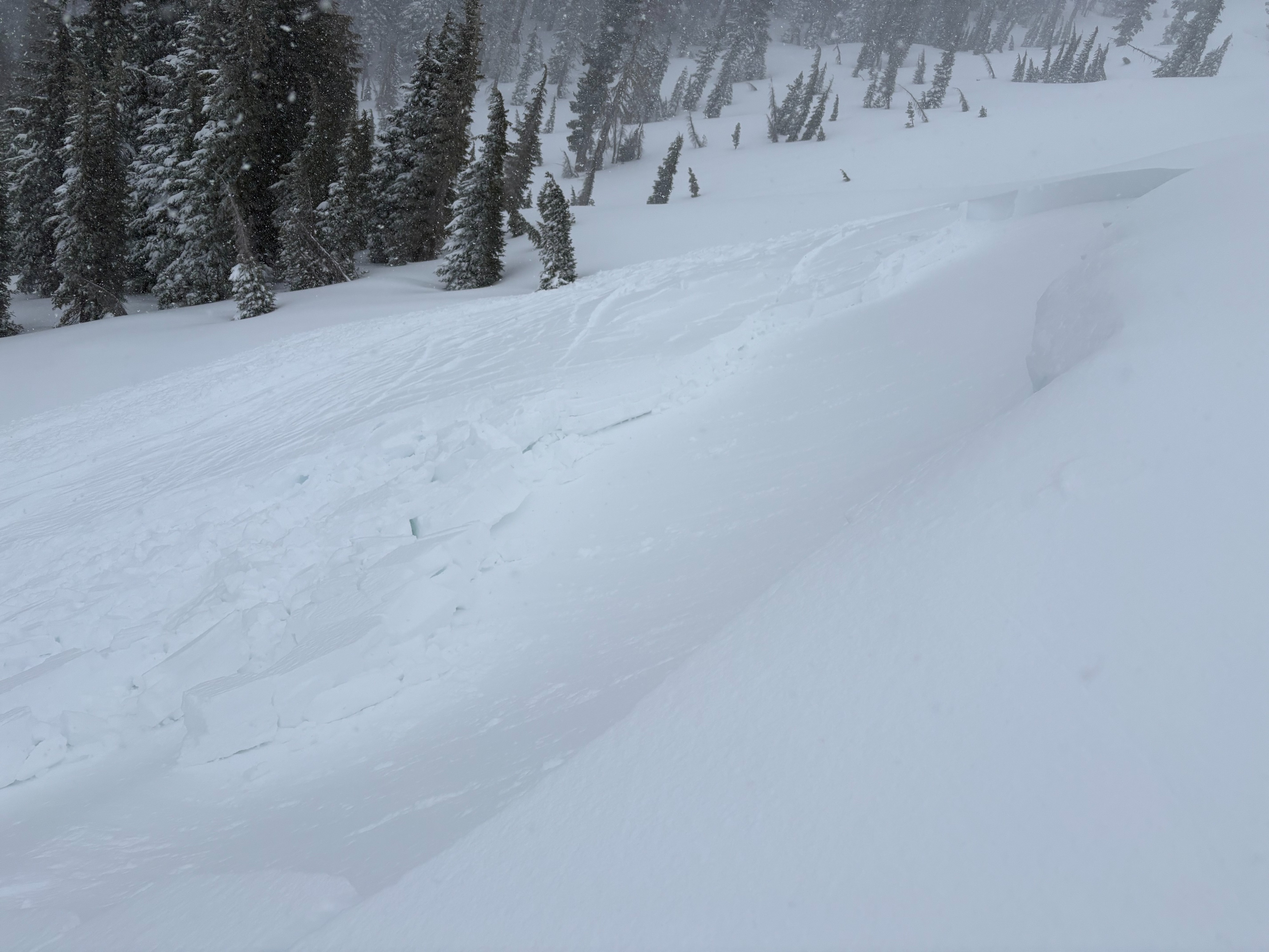
A widespread D1 natural storm slab avalanche cycle occurred this morning before our arrival in wind protected terrain. These storm slab avalanches were failing on the Feb 15 old snow/new snow interface. Most of these crowns were in the 6-8'' range and were being covered up by additional storm snow. Storm slabs in wind drifted locations also had cracking and were reactive to a ski kick. The avalanche we triggered was 6-18 inches deep, also failing on the Feb 15 new snow/old snow interface.