
Quick report
- Cracking
- specific
- Collapsing
- isolated
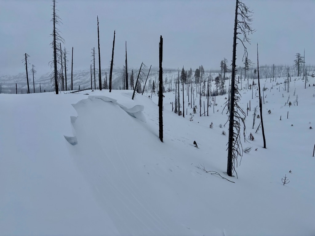
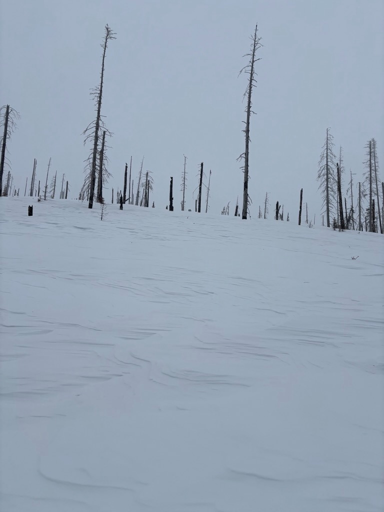
The strong W wind event that occurred on 2/14, raked the south side of Mt Adams. Wind-affected snow was widespread as I crested into the burn on the south climb road. As you'd expect, stiff, stubborn wind slabs became easy to locate on leeward features. These were generally stubborn, but one notable whumph was a good enough reason to steer around steeper slopes.
Instability was confiend to wind loaded slopes.Weather
- Air Temp
- High 20's
- Cloud Cover
- obscured
- Wind Loading
- light
- Rain Elevation
- 1900ft
- Recent Snowfall
- 8
- Snow Avail For Transport
- moderate amounts
Precipitation rates increased around noon.
Snowpack
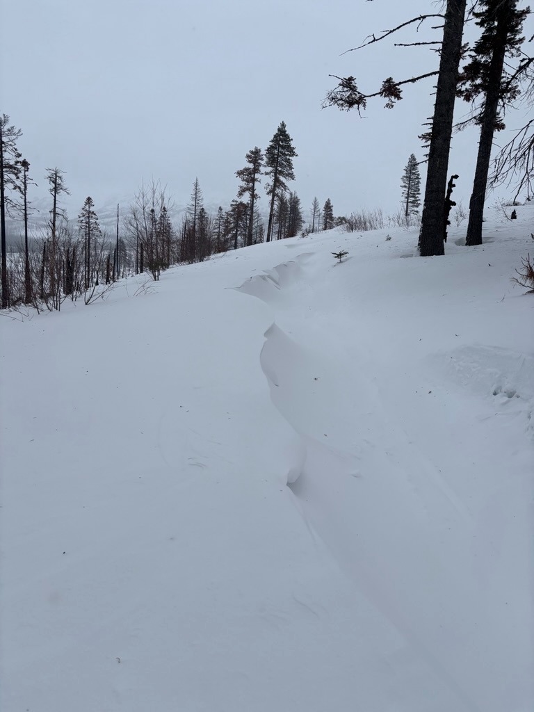
The snowpack is heavily wind-affected in the area I traveled. I only traveled to roughly 5500 ft just below the south climb TH, but it was easy to find all sorts of drifts from sastrugi to fresh cornices, and stiff pockets of wind slab. It made travel conditions variable, to say the least.
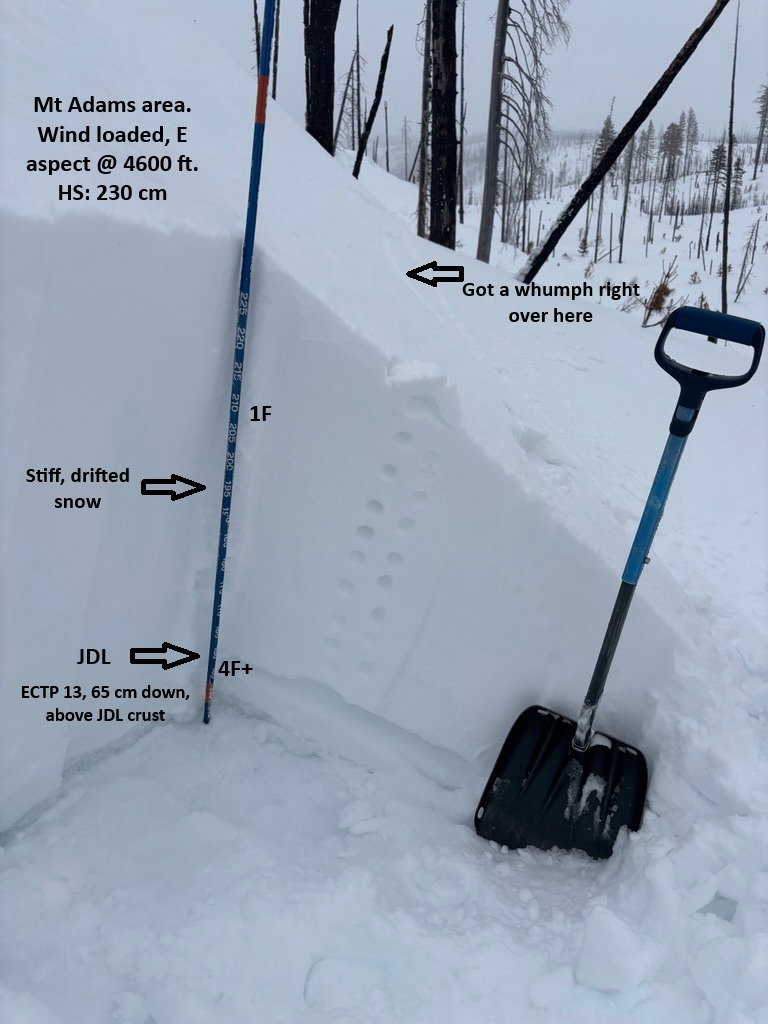
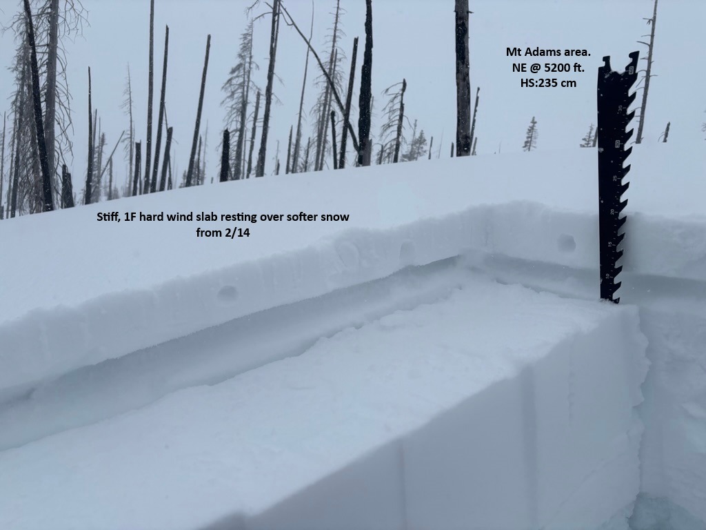
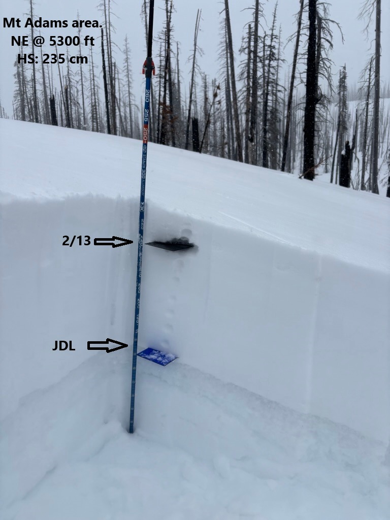
As you'd expect, wind slabs were easy to find, even at these exposed lower elevations. In general, these stiff (1F/P) slabs ranged from 6-12 inches thick. On one wind-loaded feature (E asp, 4600 ft), I heard a 'whumph'. Right around that spot, I decided to dig down to investigate the structure. In this location, I found several generations of stiff wind-drifted snow resting on the JDL (roughly 65cm below the surface in this location). Snowpack tests easily failed on the recent 2/14 interface, but more notably propagated on the JDL at 13 taps (ECTP13) . I dug another pit a few feet over in a less wind loaded spot to compare results and snowpack tests yielded unremarkable results.
The JDL provided variable test results across the terrain as I climbed in elevation. However, the 2/14 interface consistently popped out on snowpack tests. This layer consists of the lower-density snow that sat around in cold temps before a few inches of new snow and strong winds drifted over it.