
Quick report
The snowpack is locking up above 6500 ft and the main danger at these elevations is now the long sliding fall hazard. Below, wet snow still exists - but triggering wet avalanches is becoming less likely since we're 5 days in with above-freezing temps & rain. Overall, our snowpack is stabilizing but now there are plenty of new hazards from the warm-up like open creeks/moats, and rough runneled terrain to navigate.
Weather
- Air Temp
- Mid 30's
- Cloud Cover
- overcast
- Wind Loading
- none
- Rain Elevation
- 6500 ft
- Recent Snowfall
- 0
- Snow Avail For Transport
- none
Moderate S winds helped cool surfaces above 6500 ft. It was a mostly dry day except for a couple of stray flakes above 7000 ft.
Snowpack
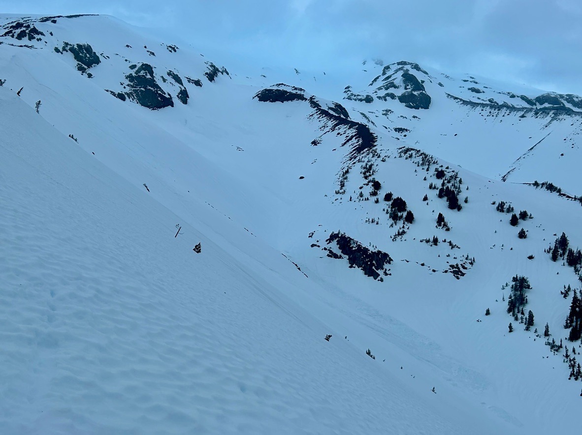
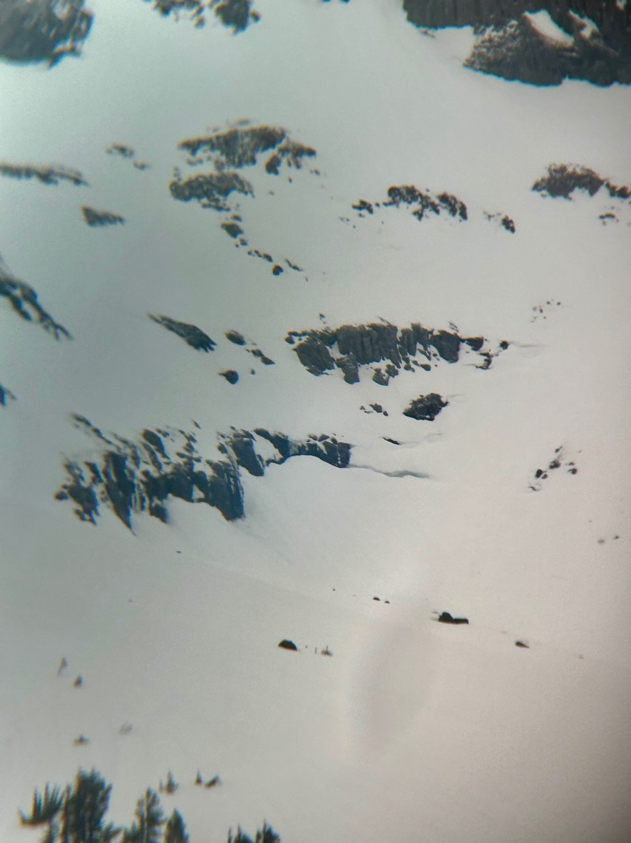
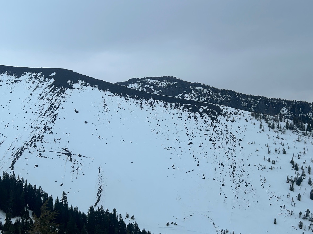
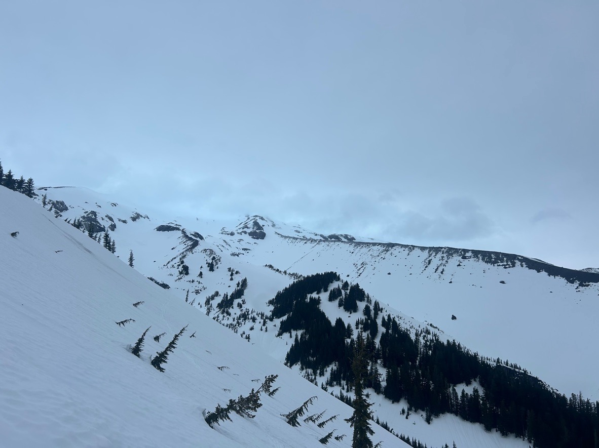
The snowpack is stabilizing as temperatures cool. Unsurprisingly, we found firm, crusty snow at upper elevations and minimal avalanche danger. The main danger at these elevations was the long sliding hazard. Despite the low likelihood of avalanches at these elevations, we still observed plenty of evidence from our recent natural avalanche cycle. We also observed a few glide cracks in upper Heather and Clark canyons.
Below this, the snow remained wet and sloppy. Boot penetration exceeded my knee. Wet grains made up the top 40 cm of the snowpack in areas we dug between 6-7000 ft. The mid/lower snowpack remains dry. Ski cuts along small convexities didn't produce much movement.
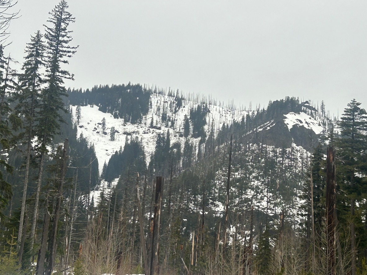
The recent rain left its mark on the landscape, especially below 6000 ft. We lost a lot of snow at these lower elevations, especially further east in the zone like Gunsight Ridge and Elk Mountain. On the mountain, the snowpack remains deeper, but rain runnels and open creeks make for challenging travel.
Avalanche
- Size
- D2 R2
- Type
- WL
- Aspect
- NE
- Trigger
- N
- Elevation
- 6800 ft
This natural wet avalanche appeared several days old. It released from upper silver bowl and ran into the flats below the bowls.