
Quick report
- Cracking
- isolated
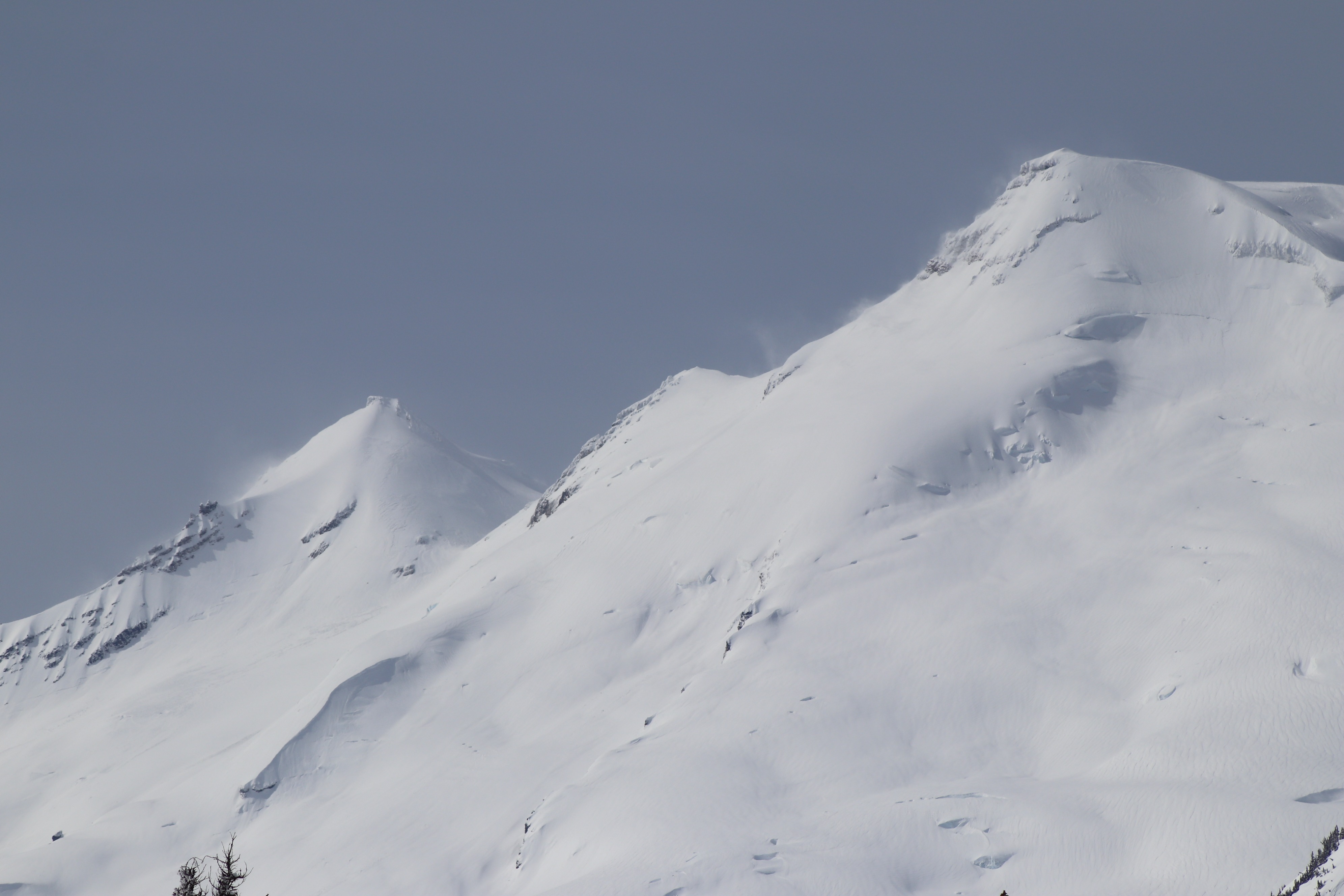
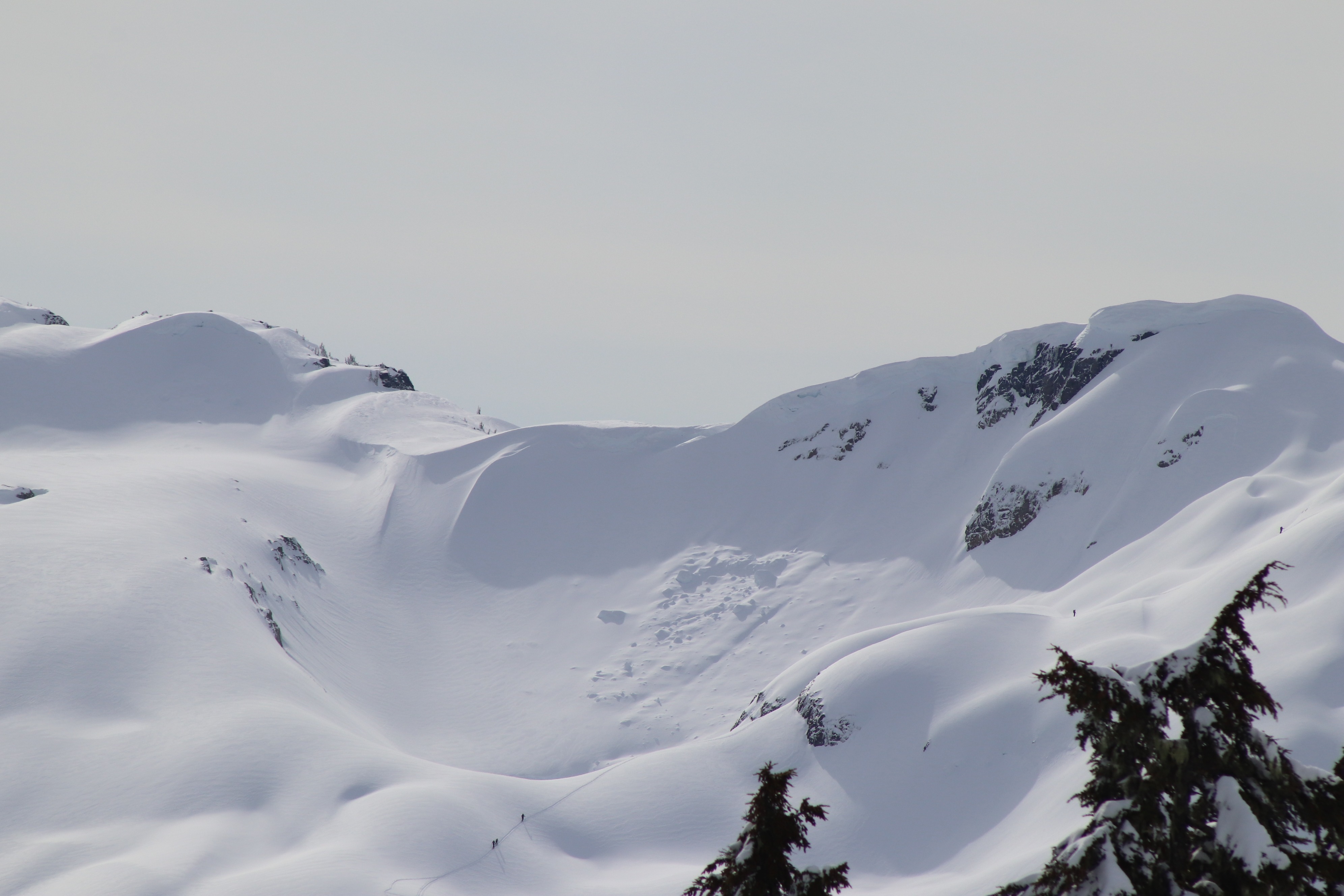
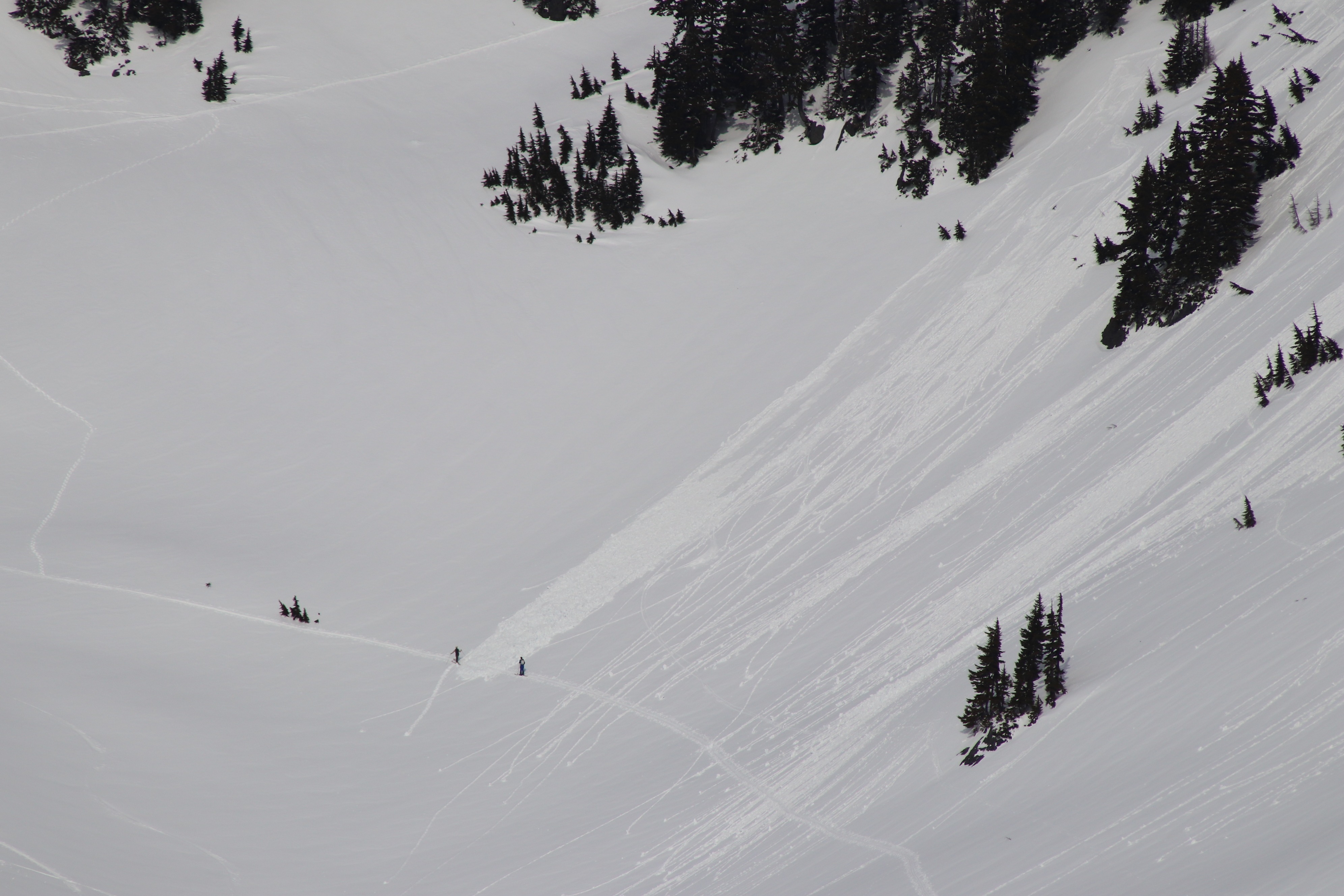
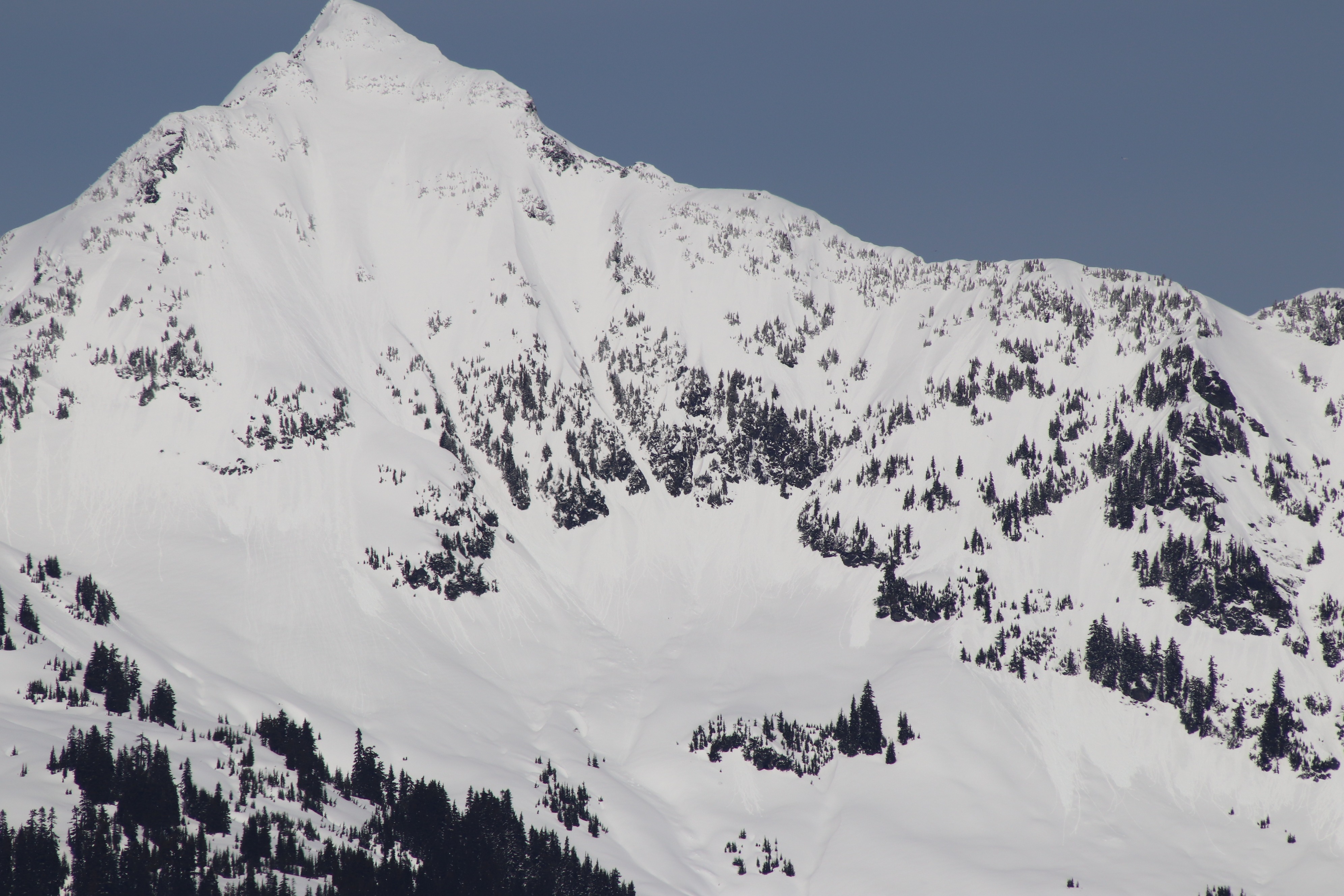
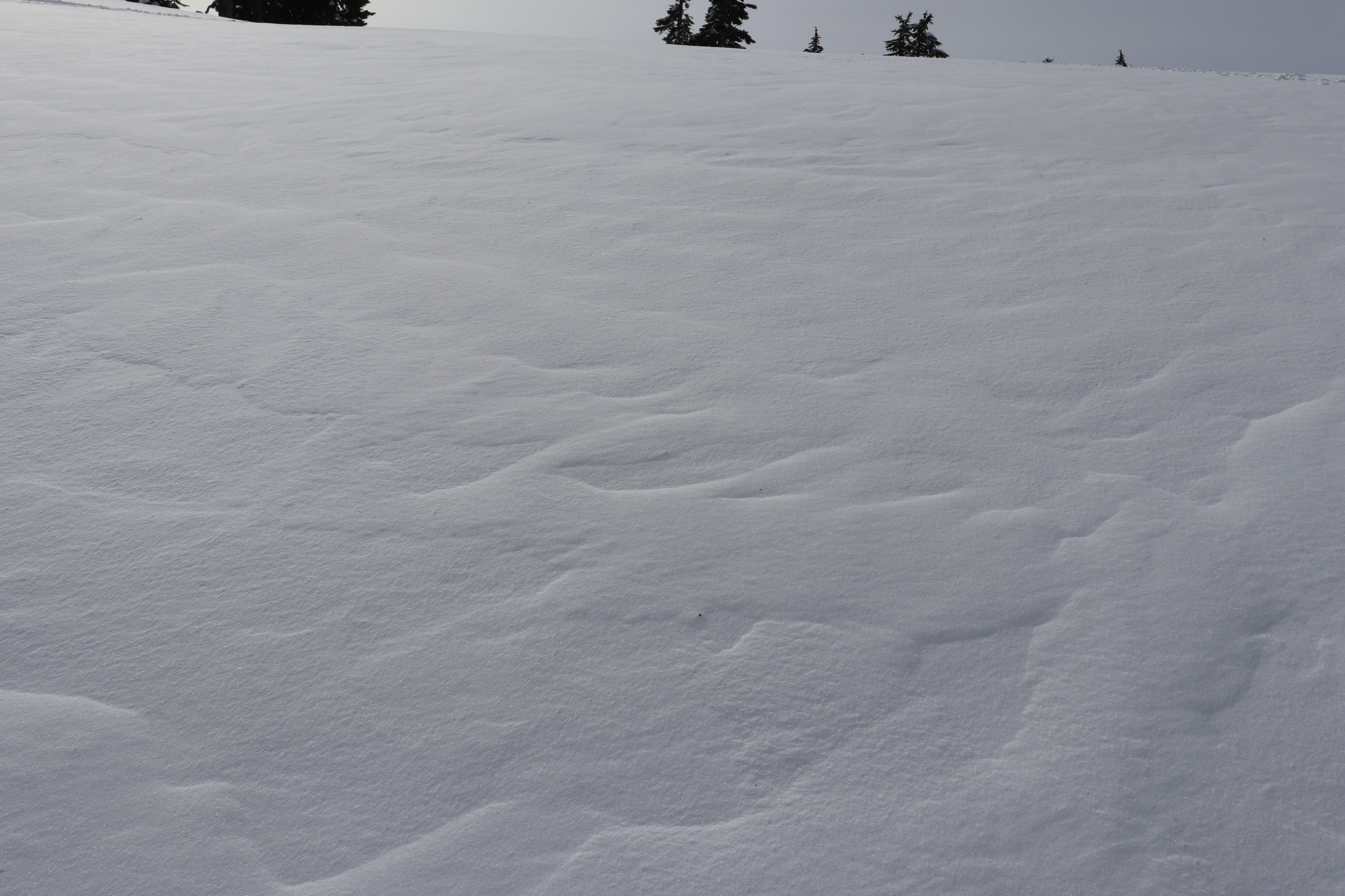
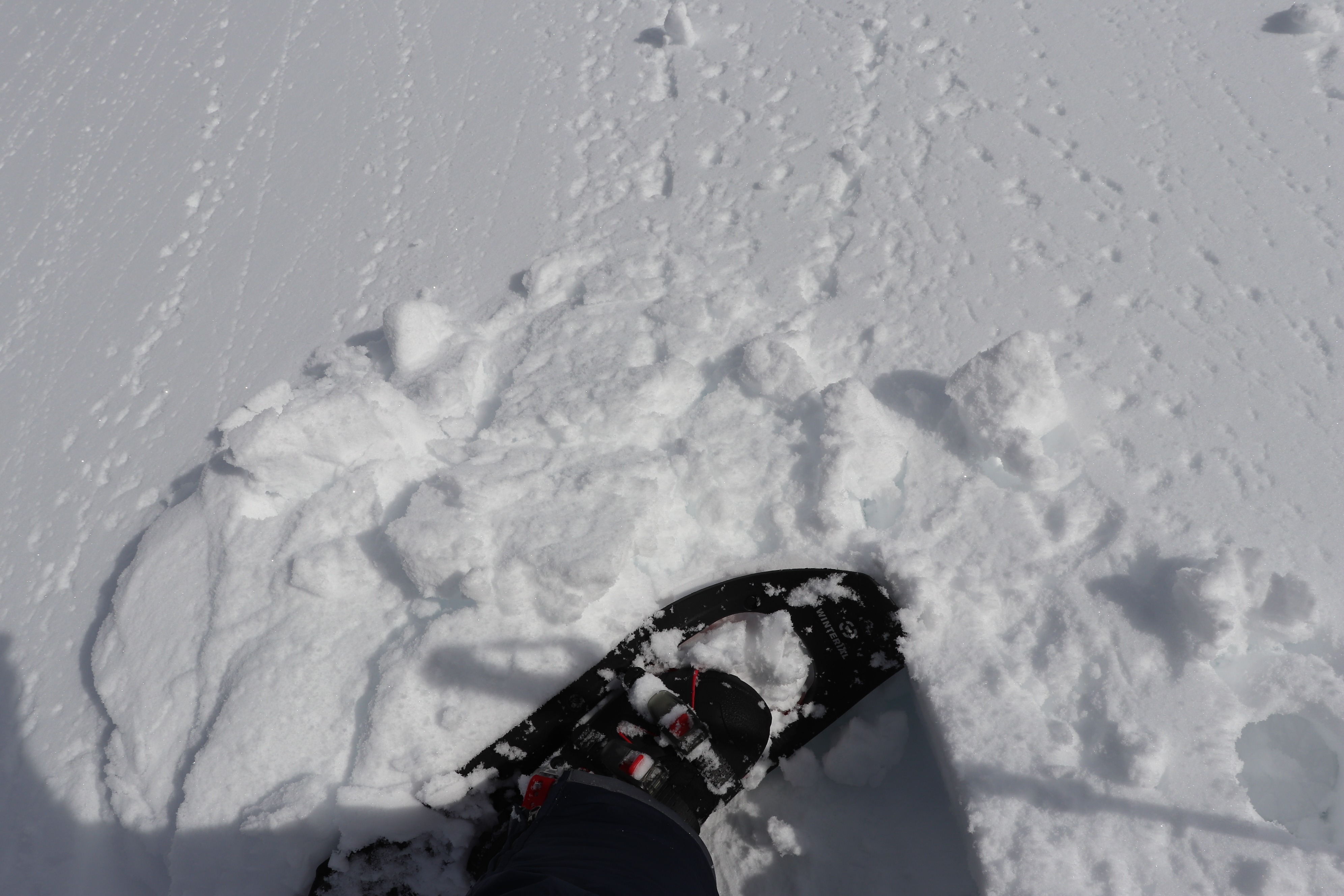
It was a wonderful and warm sunny day in the back country. Visibility was far, and a great day to break out the big camera. Stashes of dry snow were still out there, however many aspects that had sunshine Thursday had a breakable sun crust in the morning hours, this snow and any dry snow facing the sun was getting the affects of warming by after 11 am, and was getting moist, clumping roller balls around skin tracks. Small wet avalanches were observed, however most were presumed to be from Thursday afternoon 3/26. By the afternoon, there was likely enough wet snow to push an Avalanche over the 3/24 crust or within the new layer of snow and natural wet avalanches were becoming possible under the intensifying sun. There was dry snow in northerly and shady areas, and a little wind ( 20 mph gusts) in the morning and some recent 24 hrs light wind effect was noted, however recent and mostly old wind lips were quite unreactive, and would mostly produce stubborn cracking and need at least moderate force to release. I did not note any transport in my area. This didn't seem like to much of a ongoing hazard at mid elevations, however active transport of dry snow was noted in alpine terrain on Mount Baker during the morning. Surfaces were becoming moist within the most recent snow. Wet avalanches were becoming possible under the intensifying sun, and snow was likely ripe to trigger on a slope facing strong sun late afternoon.
Weather
- Air Temp
- 40
- Cloud Cover
- scattered
- Wind Loading
- previous
- Snow Avail For Transport
- small smounts
High clouds with somewhat obscured skies gaveway to thinning high clouds during the late morning and it became progressively sunnier and warmer by in the afternoon. Winds were light south - at times gusting around 15 mph. When there was no wind, it was very warm.
Snowpack
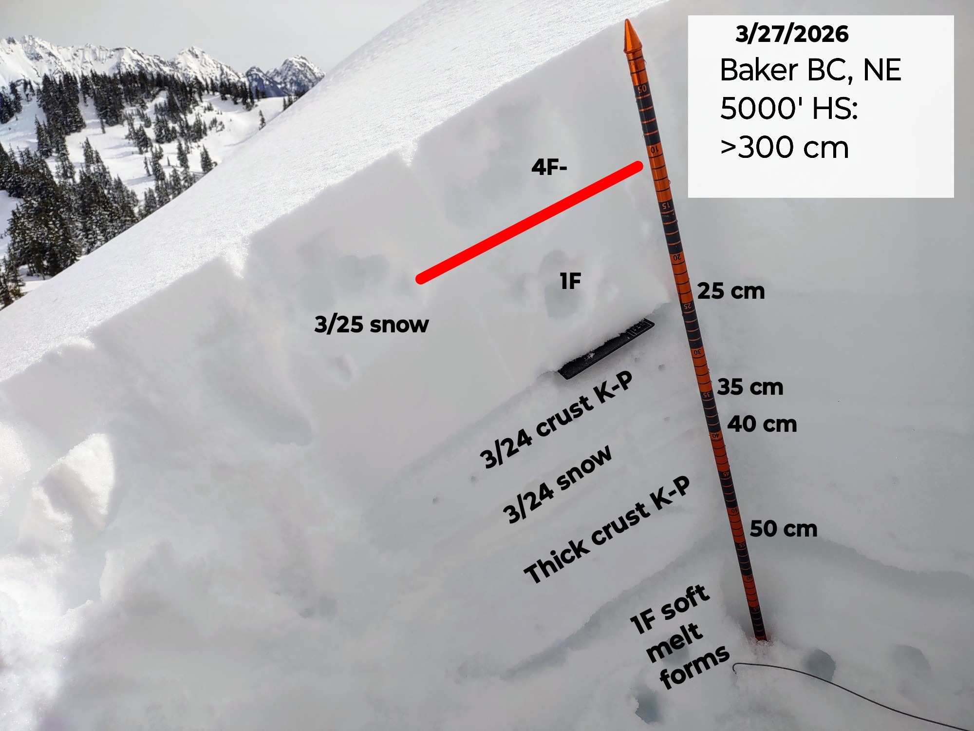
An average of 25-30 cm of snow rests over the 3/24 crust which was P-K hard. A thin layer of snow from 3/24 sits above a much thicker and stout crust layer from last weekend. The only weakness found was on an inversion layer between F-4F snow and 1F snow about midway within the most recent snow since 3/24. This produced easy CT failures with PC. ECT produced no result. In drifted areas, the 3/24 crust was 1-2 ft deep. In sheltered areas with dry snow, small 0.5-1mm facets, and even small grains of surface hoar were seen, however warm temperatures were doing a number to these.
Avalanche
- Size
- D1
- Type
- WL
- Aspect
- E
- Trigger
- N
- Elevation
- 4900 ft
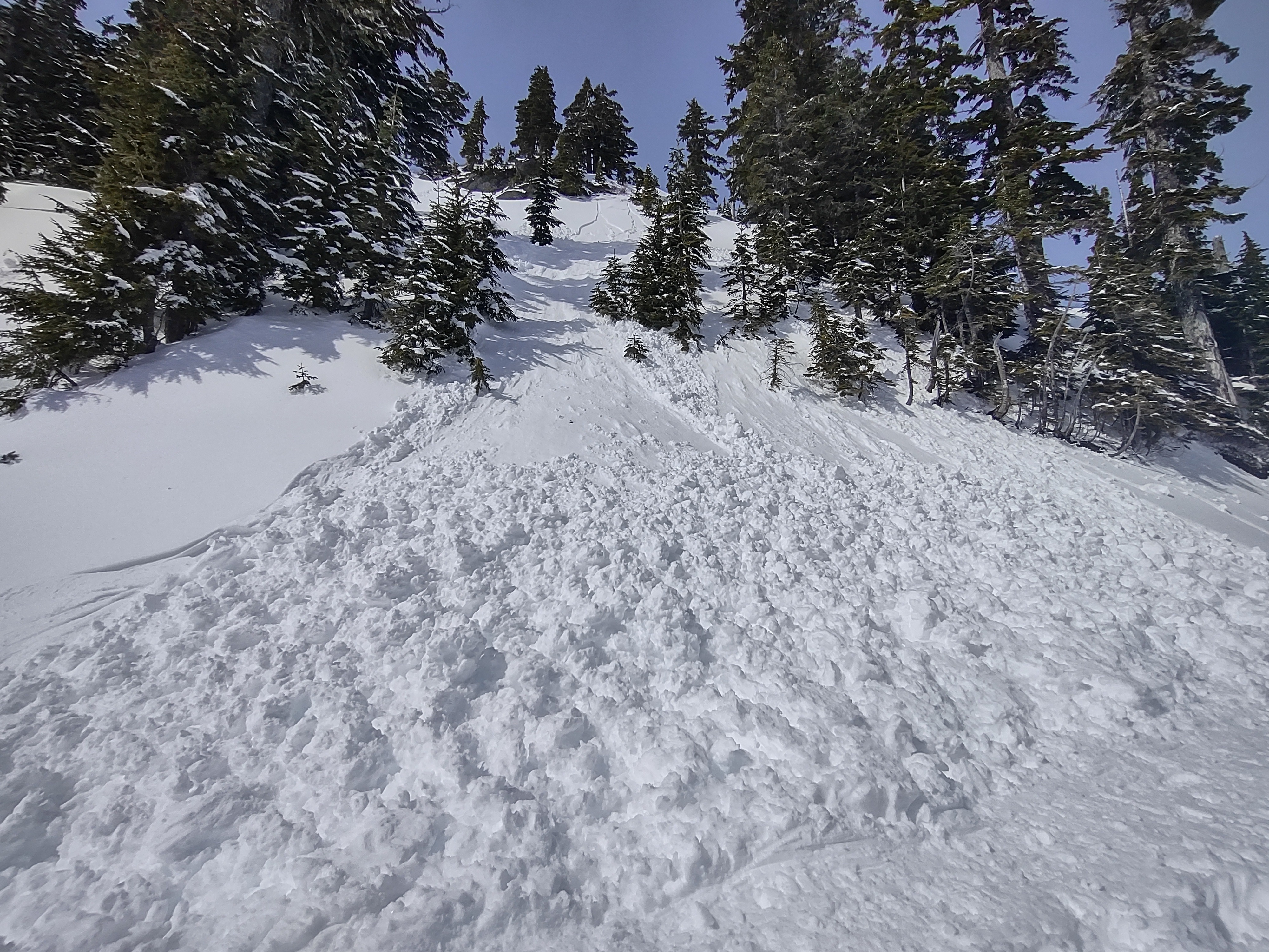
Mostly wet avalaches (D1-1.5 in size) underneath atypical rocky terrain throughout the area. Many wet avalaches were from Thursday, however there were a few from today. One at least audible from the swift creek area, back of hemispheres rocks. No new upper elevation slabs identified.