
Quick report
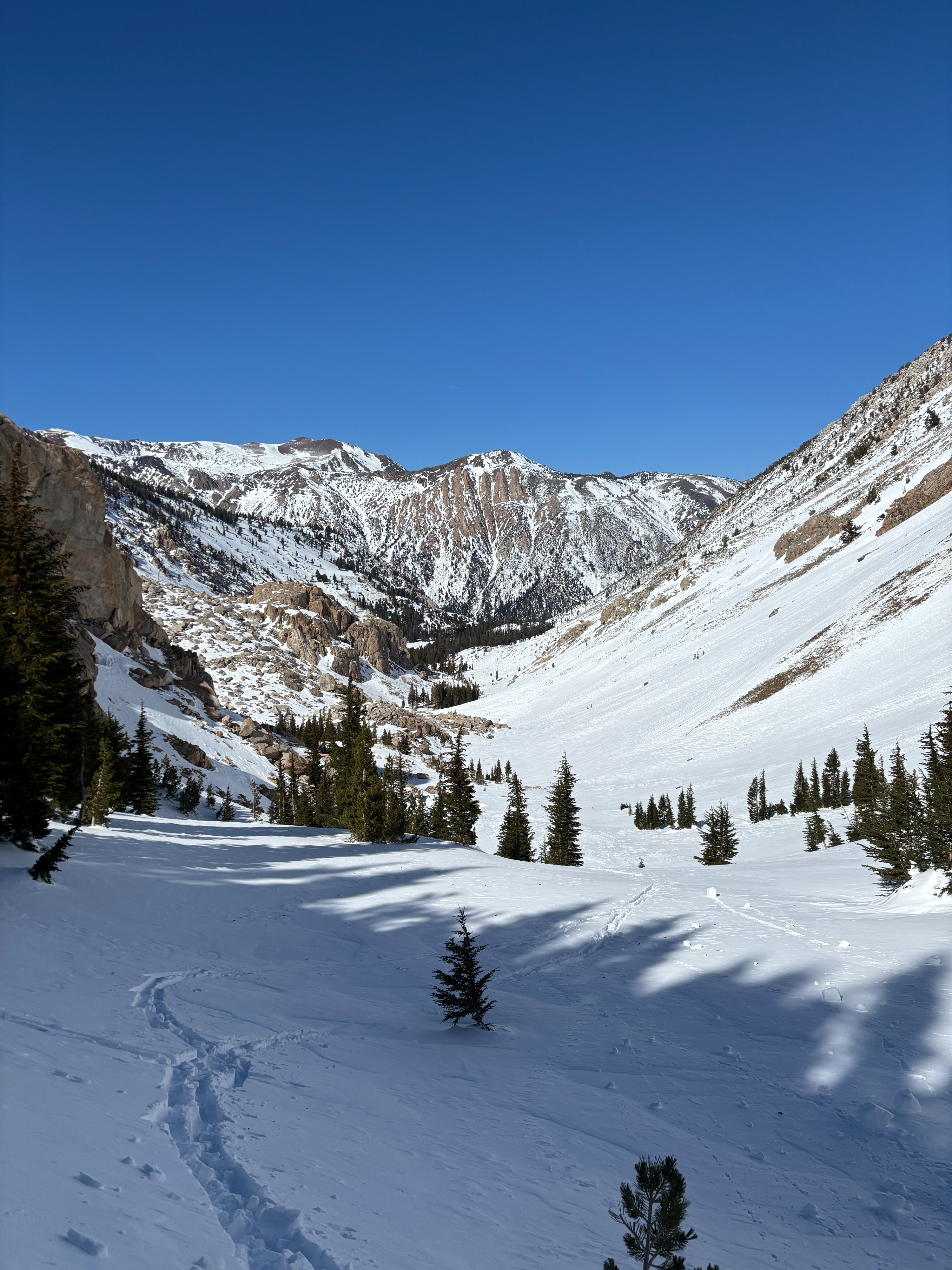
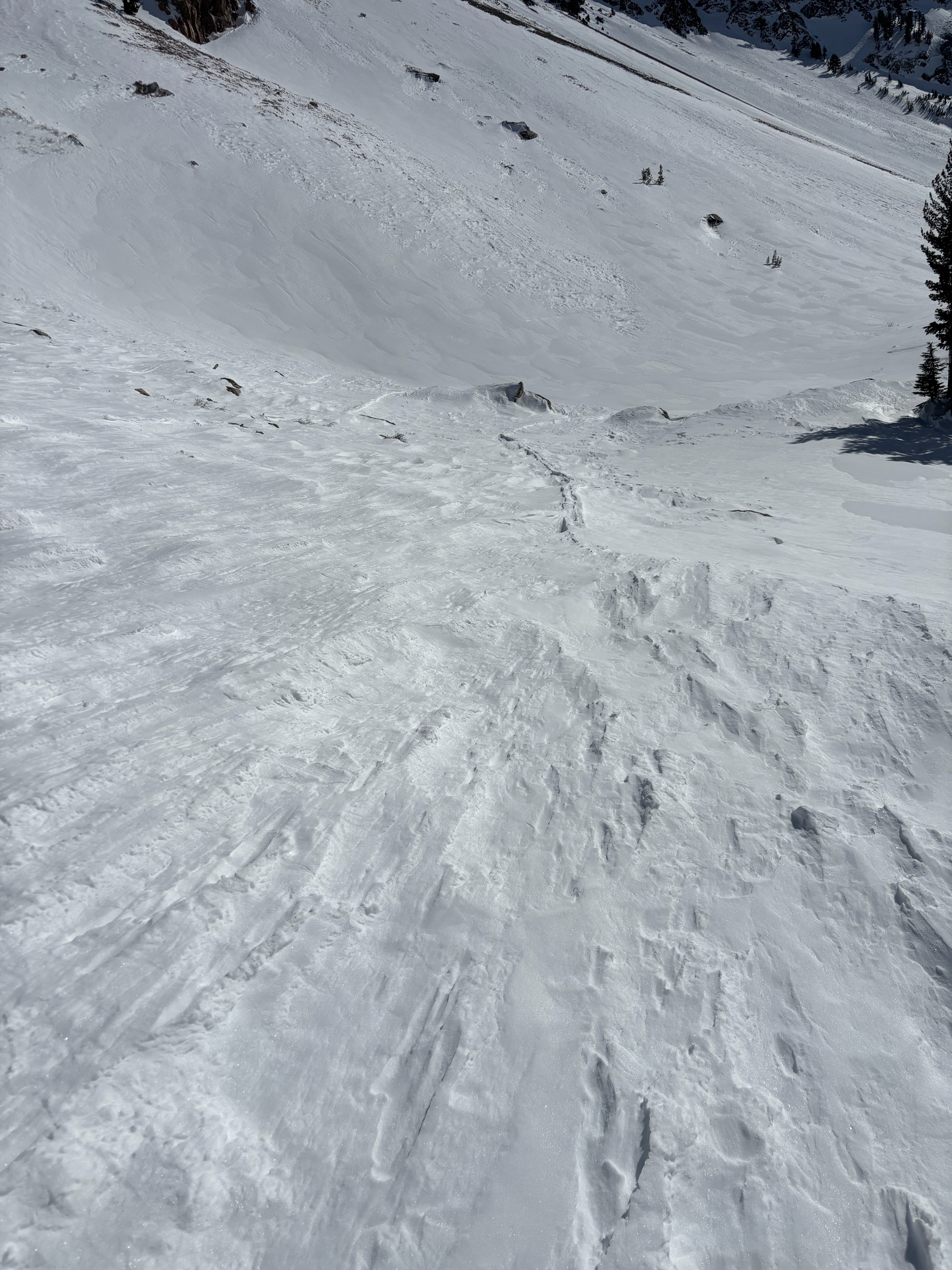
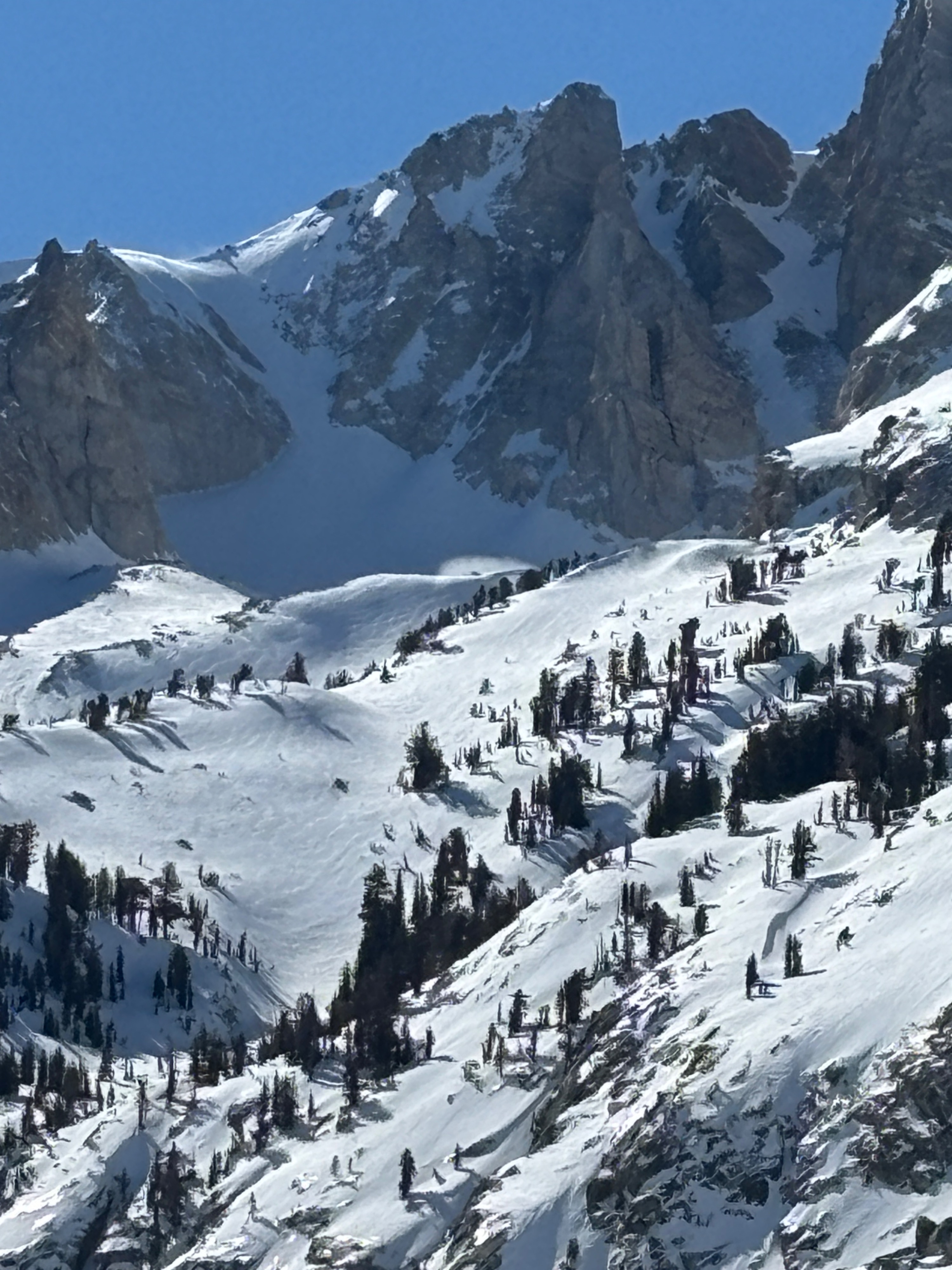
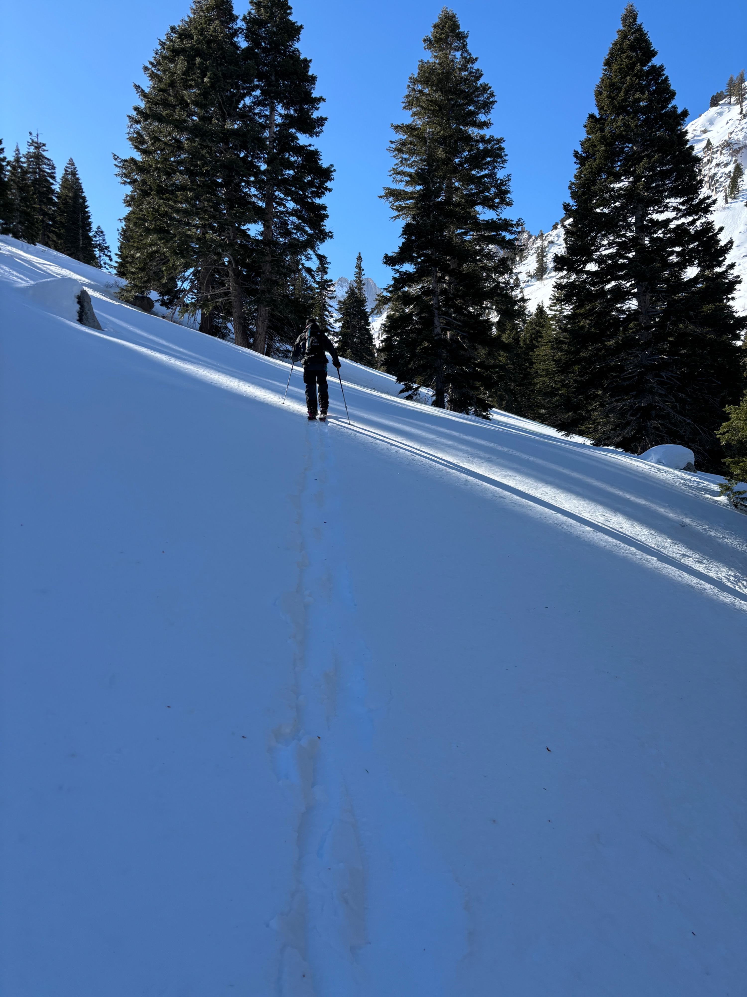
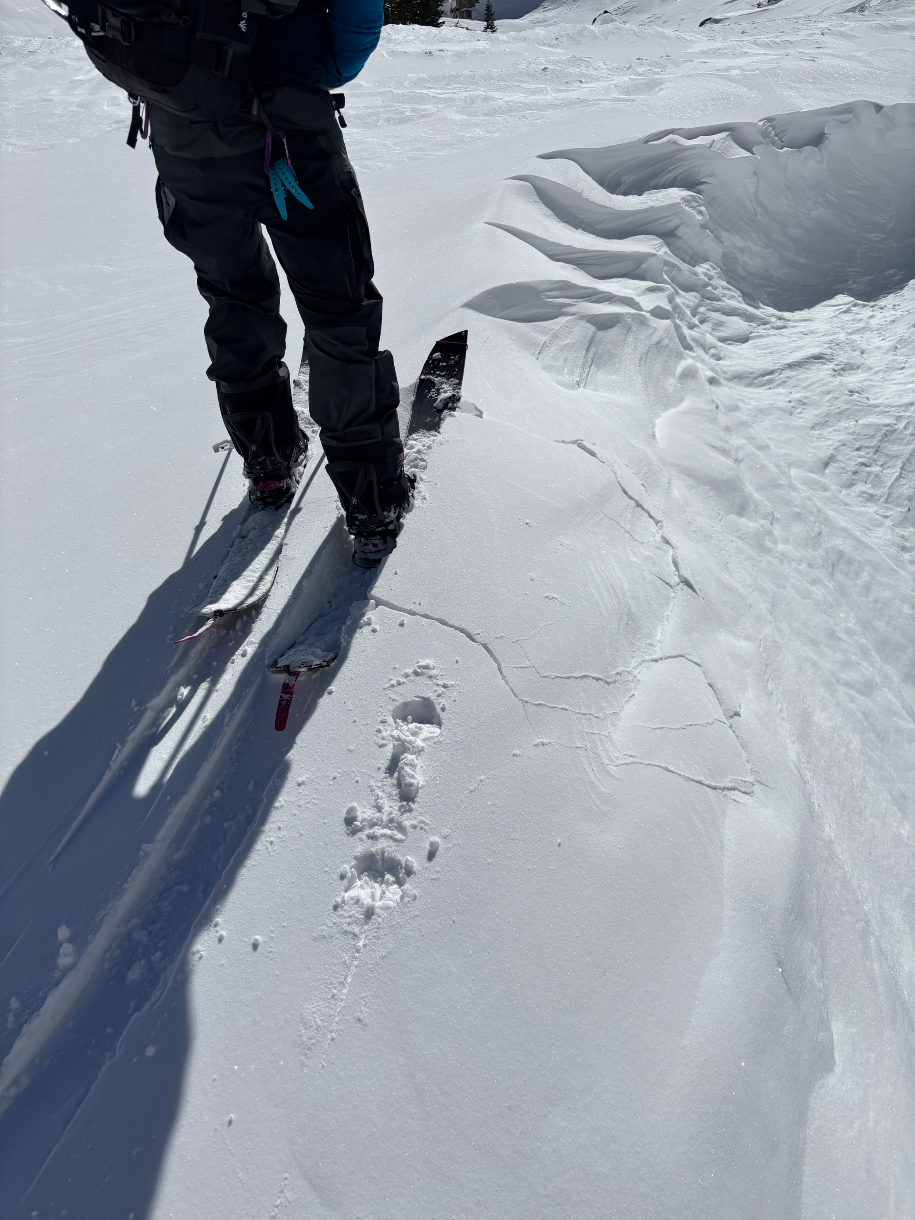
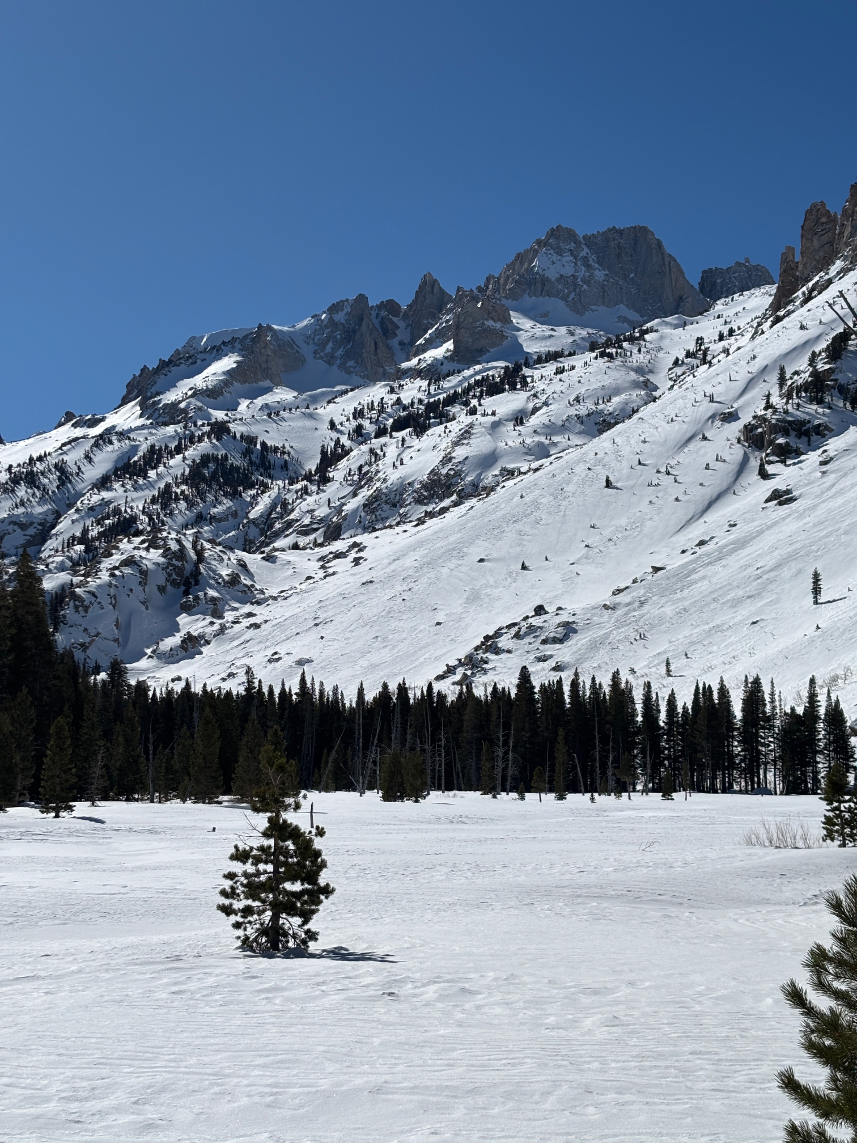
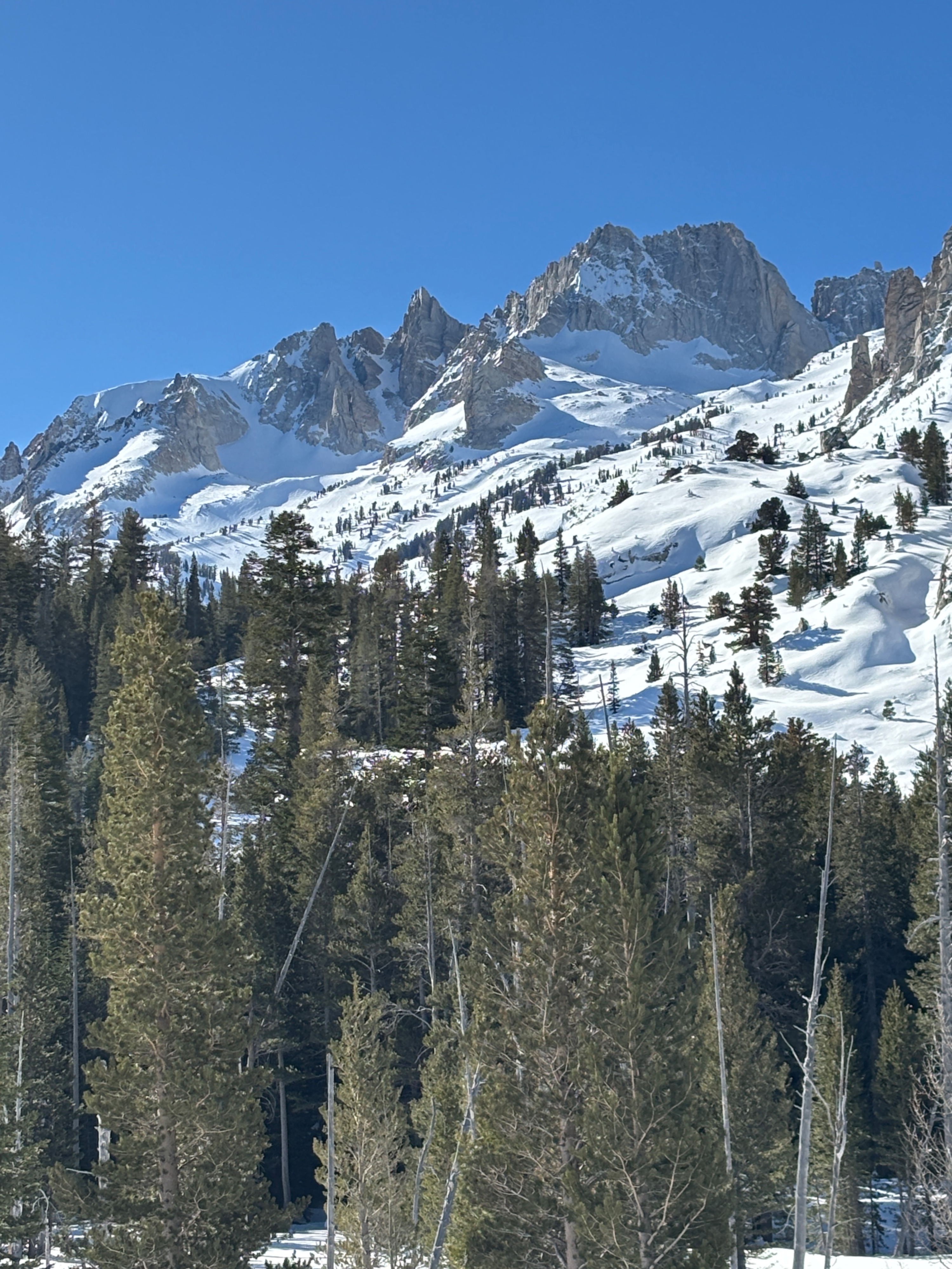
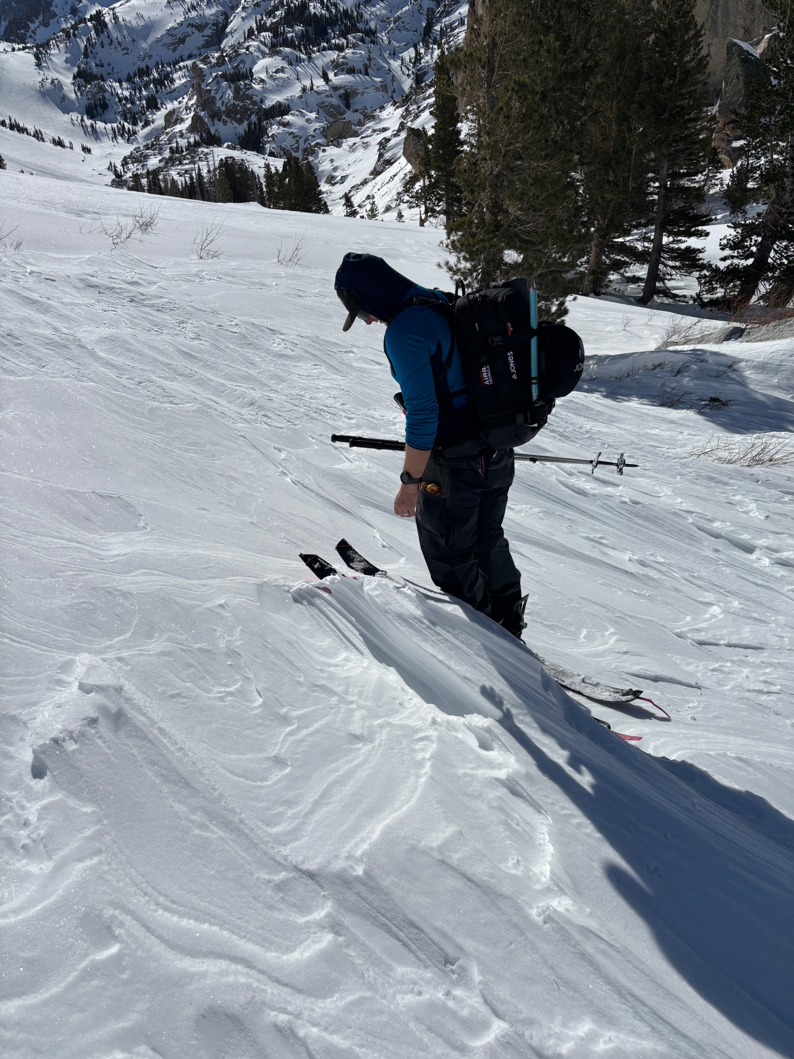
Yesterday we ski toured into the Horse Creek drainage to see how the snowpack looked in this zone after Wednesday's high winds. We also wanted to see how the deep persistent slab problem was presenting itself here. The strong winds on Wednesday created a wind sculpted landscape in the canyon, large wind deposits and wind scoured areas were plentiful, we saw some anti track in the snow that was over 2 ft high. We did find softer cold snow in the trees, as it was sheltered from the sun and wind. We could see some spin drifts moving at the upper ridges of Horse creek peak and Ski dreams. We chose to dig a pit on a shaded NE aspect, where we have been seeing the persistent weak layer elsewhere in the advisory zone. It took a little while to find a suitable snow pit location, as some wind drifted zones on NE aspects had a height of snow exceeding our probe length (300cm). Once we were able to find a shallow spot to dig a pit. Height of snow was 150 cm and the weak layer was at 50 cms.
Test results:
- CT14 SC @ 50 cm
- CT17 SC @ 50 cm
- ECTX
- ECTX
- PST 90/ 165end @ 50cm deep
So a bit of a mixed bag for test results, showing possible initiation and unlikely propagation of the deep persistent slab. Wednesday's Observation on Tam showed propagation on the ECT. With varying snow depths and test results, it is best to travel in the back country with caution until the deep persistent slab heals.
Weather
- Air Temp
- 36
- Cloud Cover
- clear
- Wind Loading
- previous
- Recent Snowfall
- 0
- Snow Avail For Transport
- none
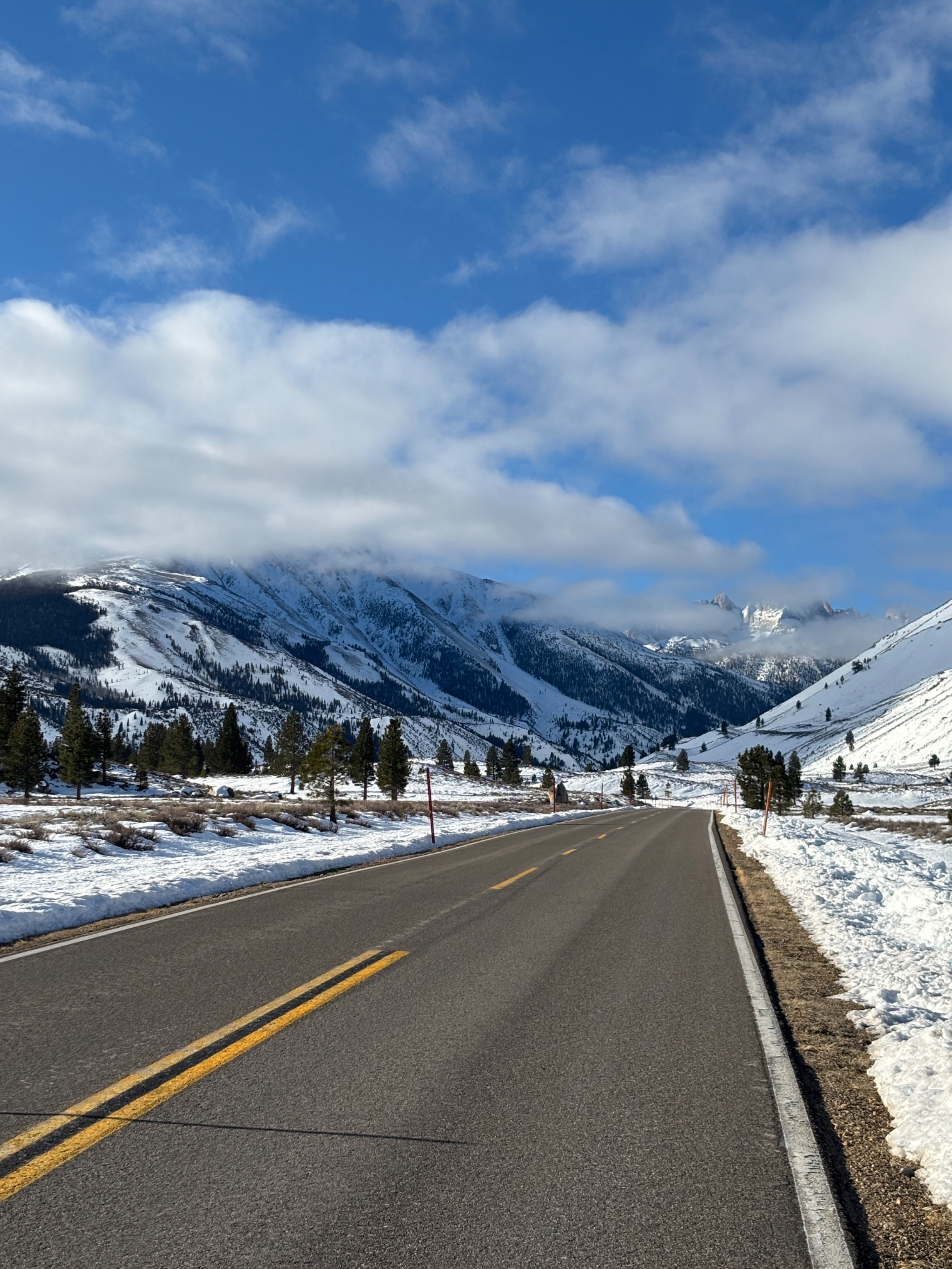
Clear calm day, the lack of wind and no clouds made for a pleasent day in the mountains.