
Quick report
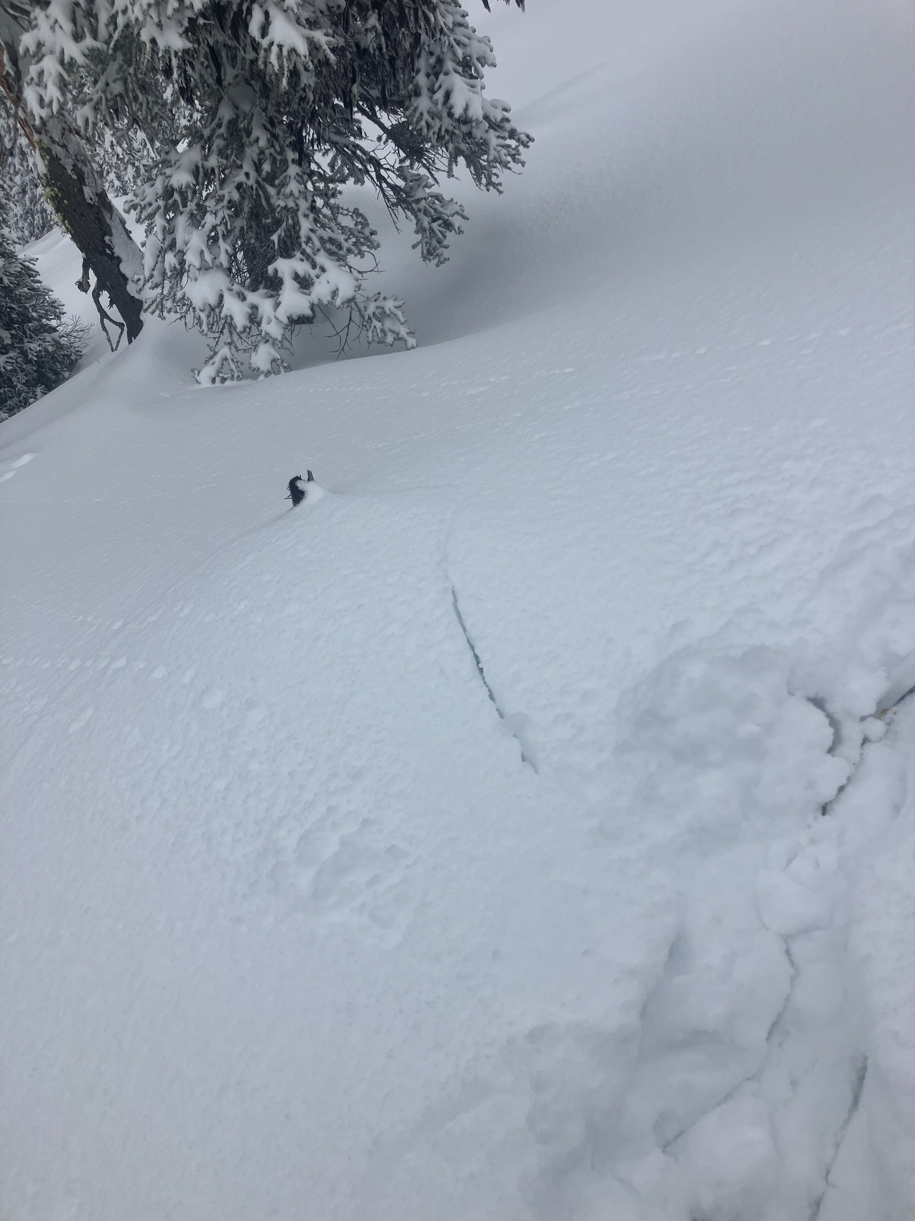
- Cracking
- isolated
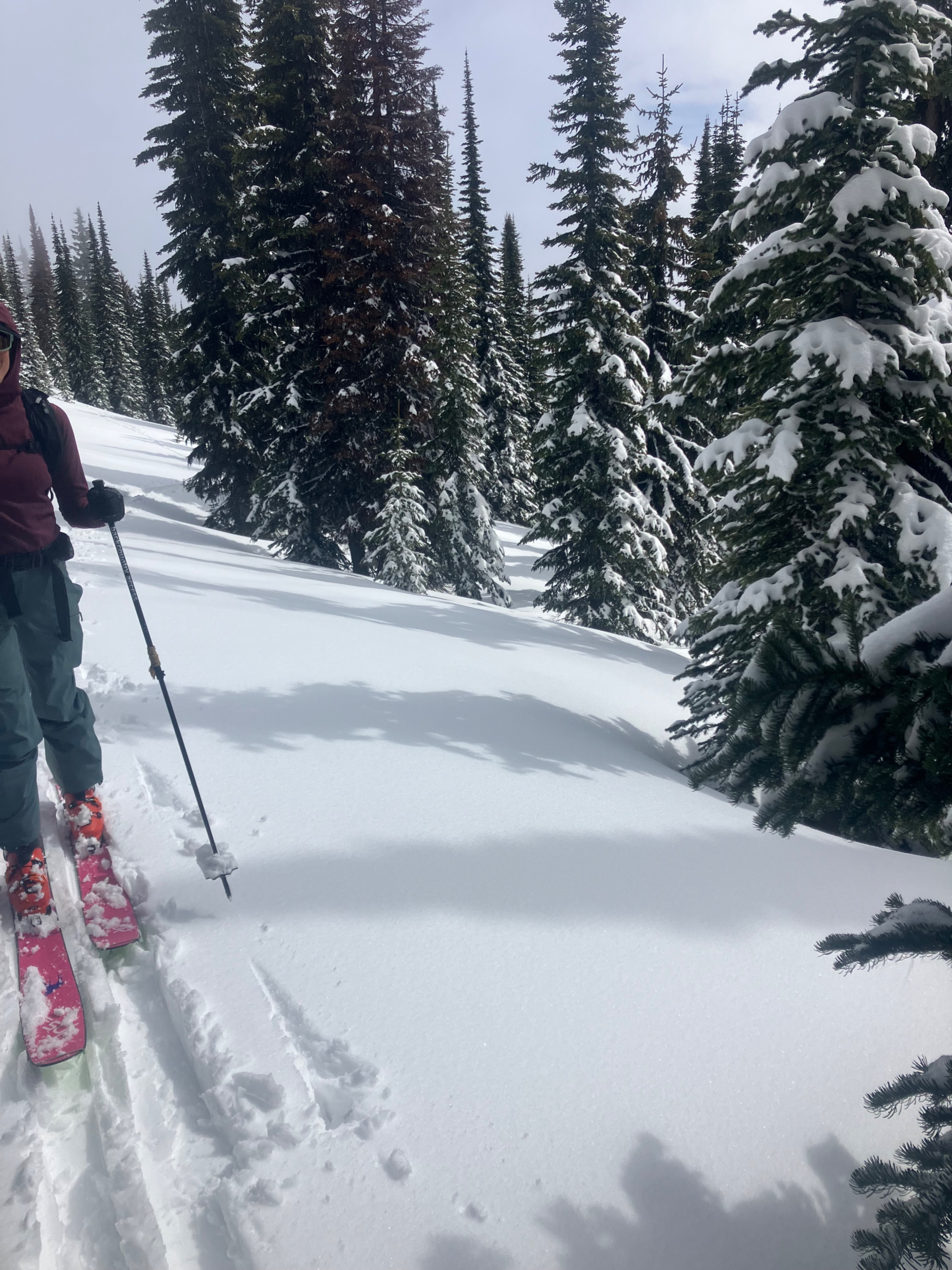
We toured in the southern Whitefish Range to verify storm totals and observe the new snow/old surface interface.
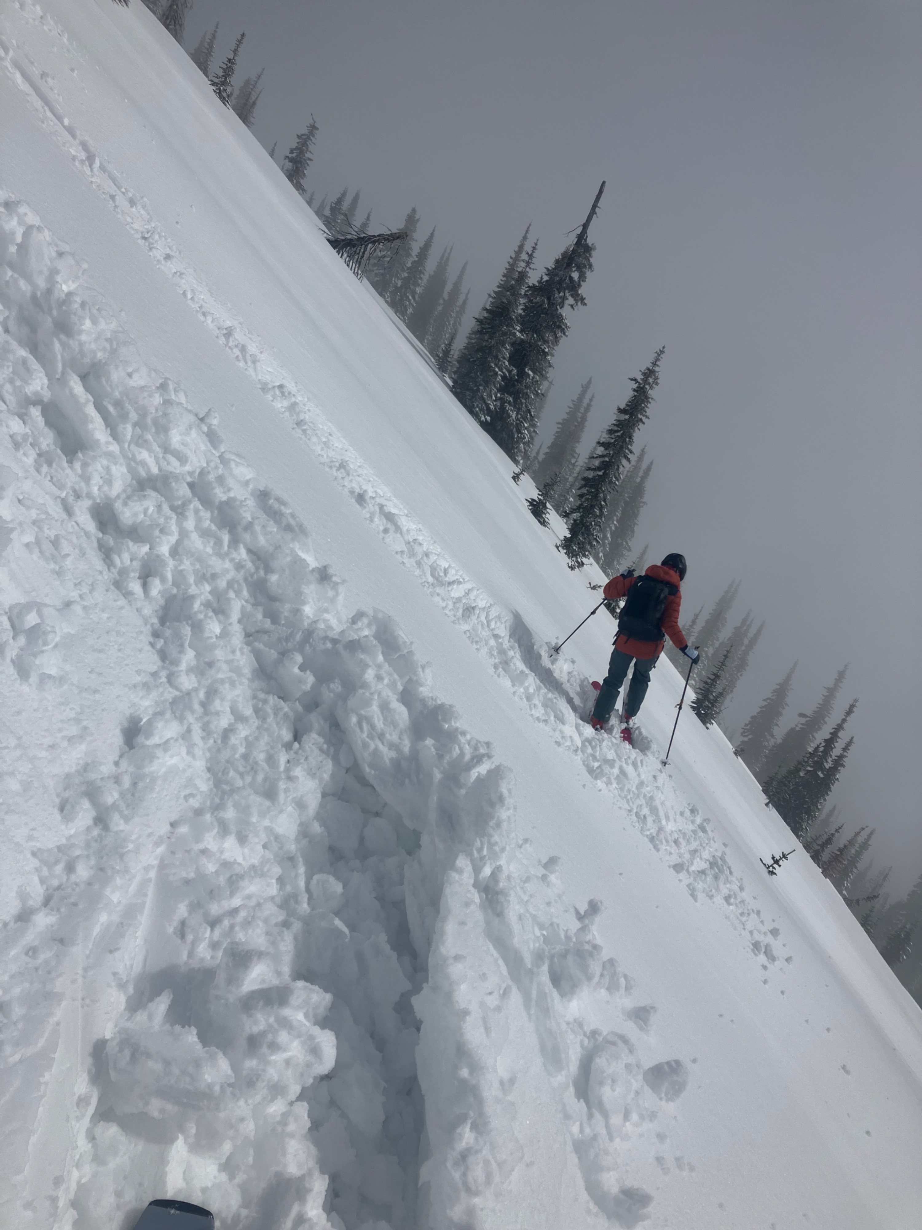
- Early in the morning we ski cut steep road cuts that easily sluffed in the top 4 inches of the new snow.
- Ambient air temperatures rose quickly as the day progressed. We noticed a remarkable temperature shift around noon, which was followed by a break in the clouds, and a short period of strong sunshine.
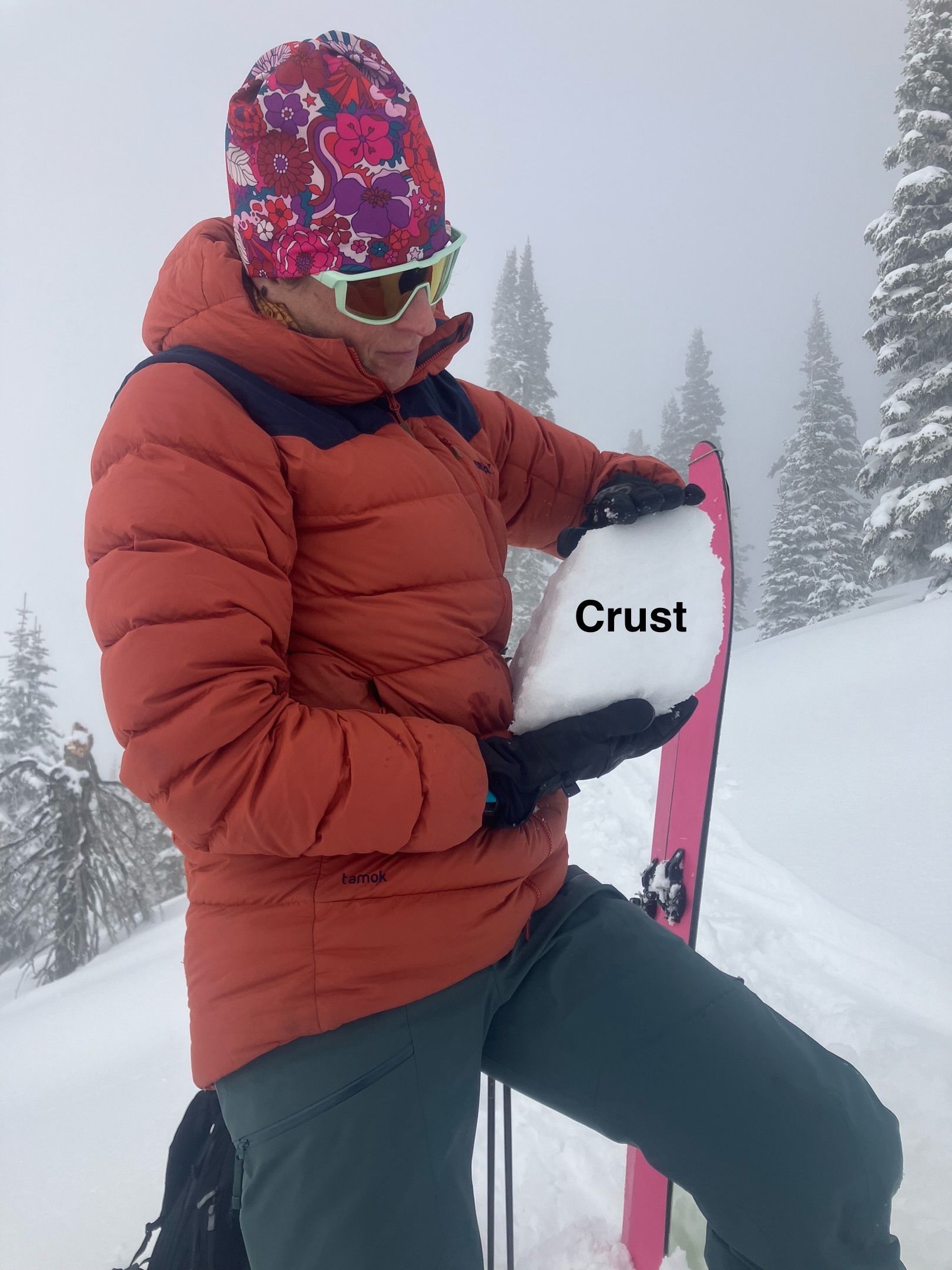
- In upper and middle elevations, southerly aspects had a stout 20 cm crust under the new snow.
- Solar radiation and rising temps increased the cohesive properties of the new snow. Ski turns elicited turn craters of wet dense snow on the supportable crust.
- Besides very isolated cracking around our skis, the instabilities we observed involved the new snow's transition from dry to moist/wet.
Weather
- Air Temp
- 25 to 35
- Cloud Cover
- overcast
- Wind Loading
- none
- Rain Elevation
- 5000
- Recent Snowfall
- 20 cm
- Snow Avail For Transport
- moderate amounts
Most of the day was cloudy, with a brief clearing of strong sunshine that lasted about 30 minutes. No wind and no precipitation throughout the day.
Snowpack
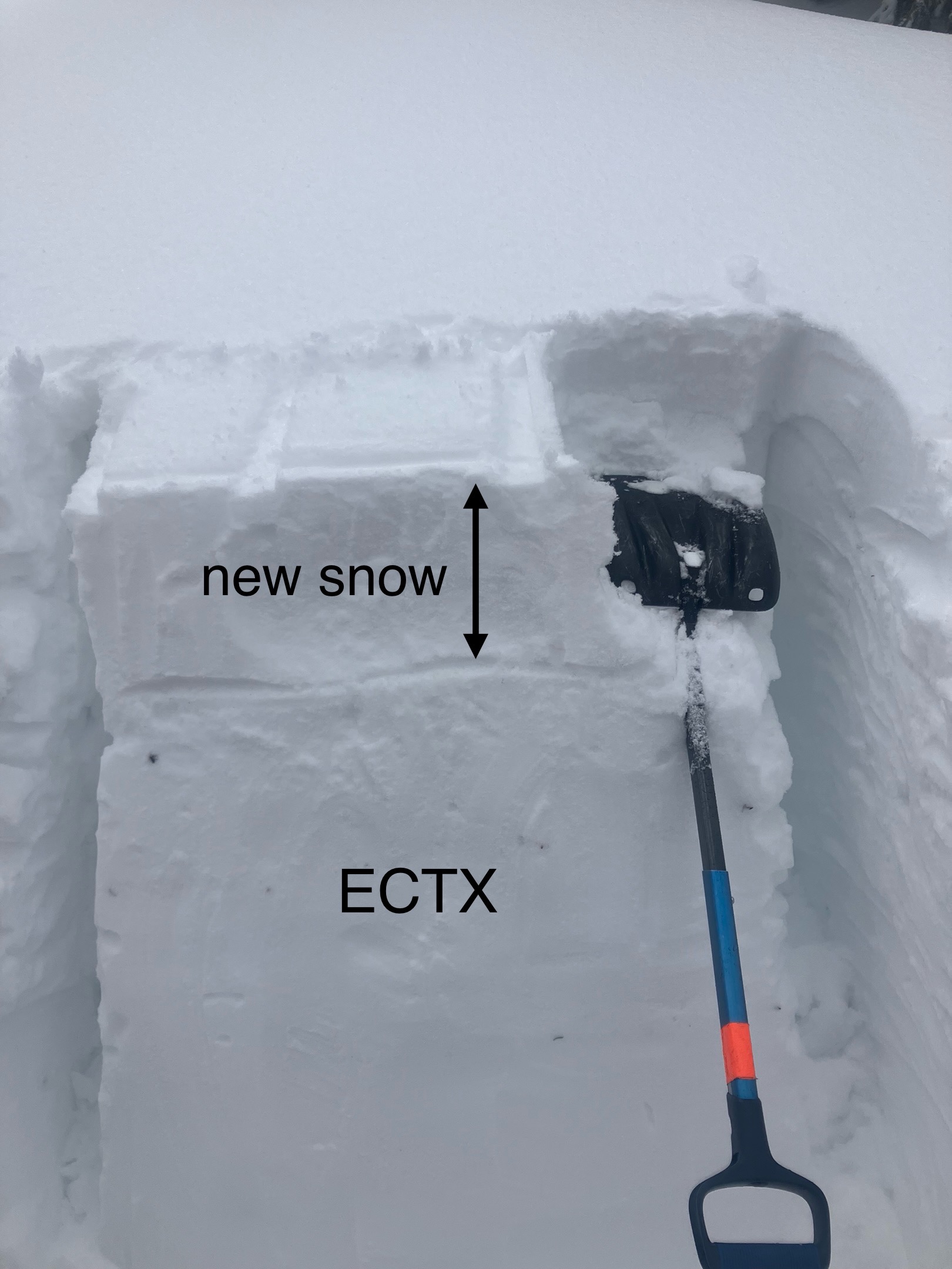
Snowprofile on north aspect at 6700 feet
- HS: 250 cm
- 20 cm of new snow. Rightside up density profile, as the storm started warm and ended cooler.
- no propagation in our Extended Column Test
Quick pit on south aspect at 6650 feet
- 15 cm of new snow. This snow was moist.
- 20 cm of a pencil-hard melt-freeze crust below the new snow. Wet snow below the crust.
Avalanche
Loose-dry sluff in the morning was harmless and did not entrain much snow. A low cloud deck most of the day limited our views of the surrounding terrain.