
Quick report
I headed up Lundy to monitor softening surfaces and to get an idea of coverage in the upper Lundy area.
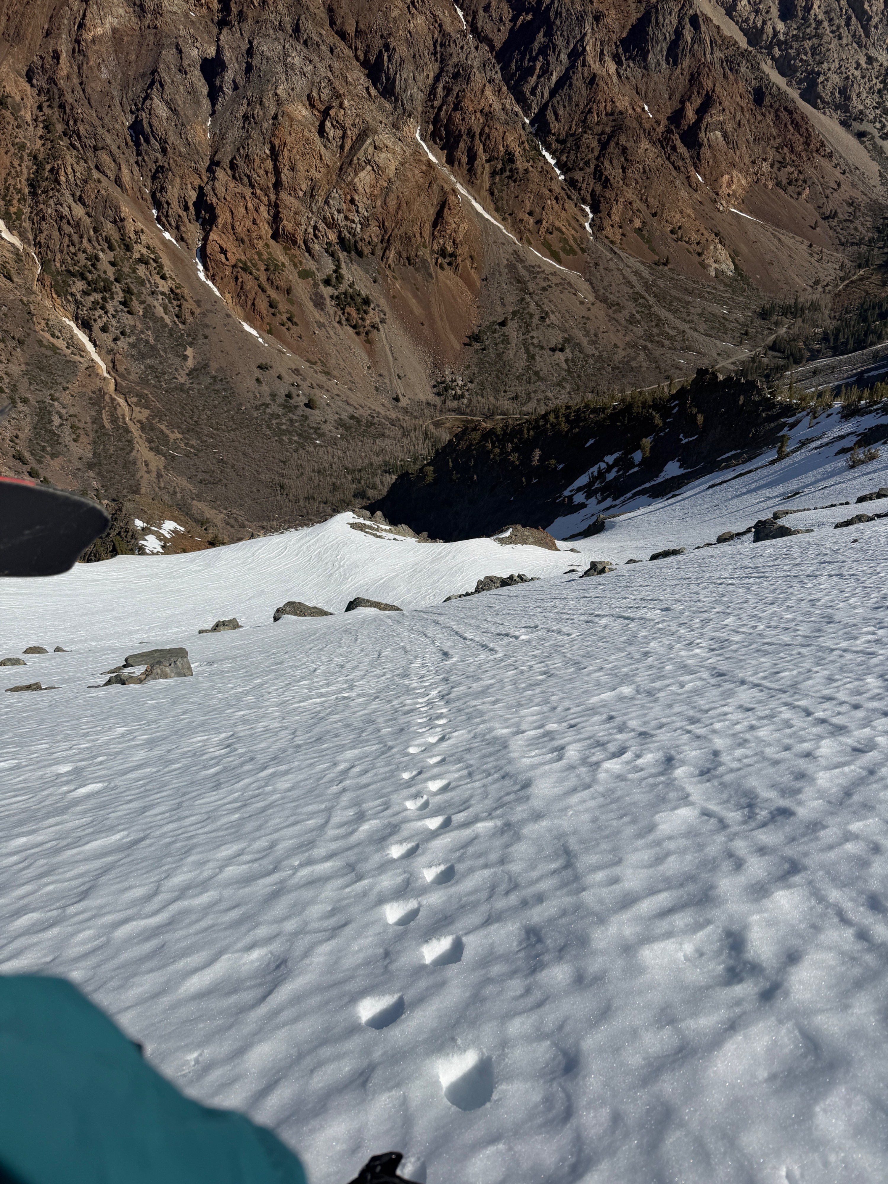
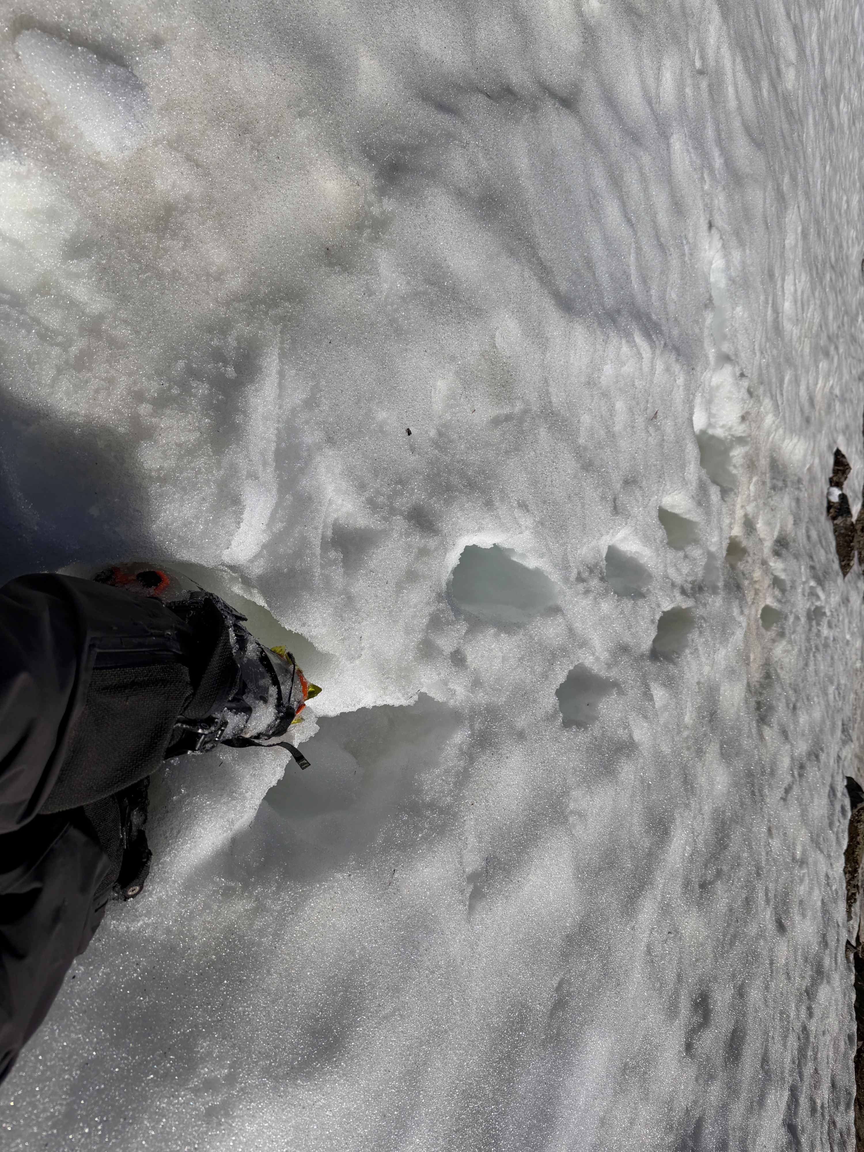
Overnight, mostly clear skies gave way to a supportable melt freeze crust at the surface. I found easy travel on this crust at all elevations. I found due east aspects to already be soft by 9:30 am, and northeast aspects were just beginning to soften as I began to descend at 10:30 am. Protected, due north aspects remained firm. Many of the surfaces I travelled on have been heavily impacted by our long-lasting warm weather, and smooth, planar surfaces were hard to come by. See the video for a good summary...
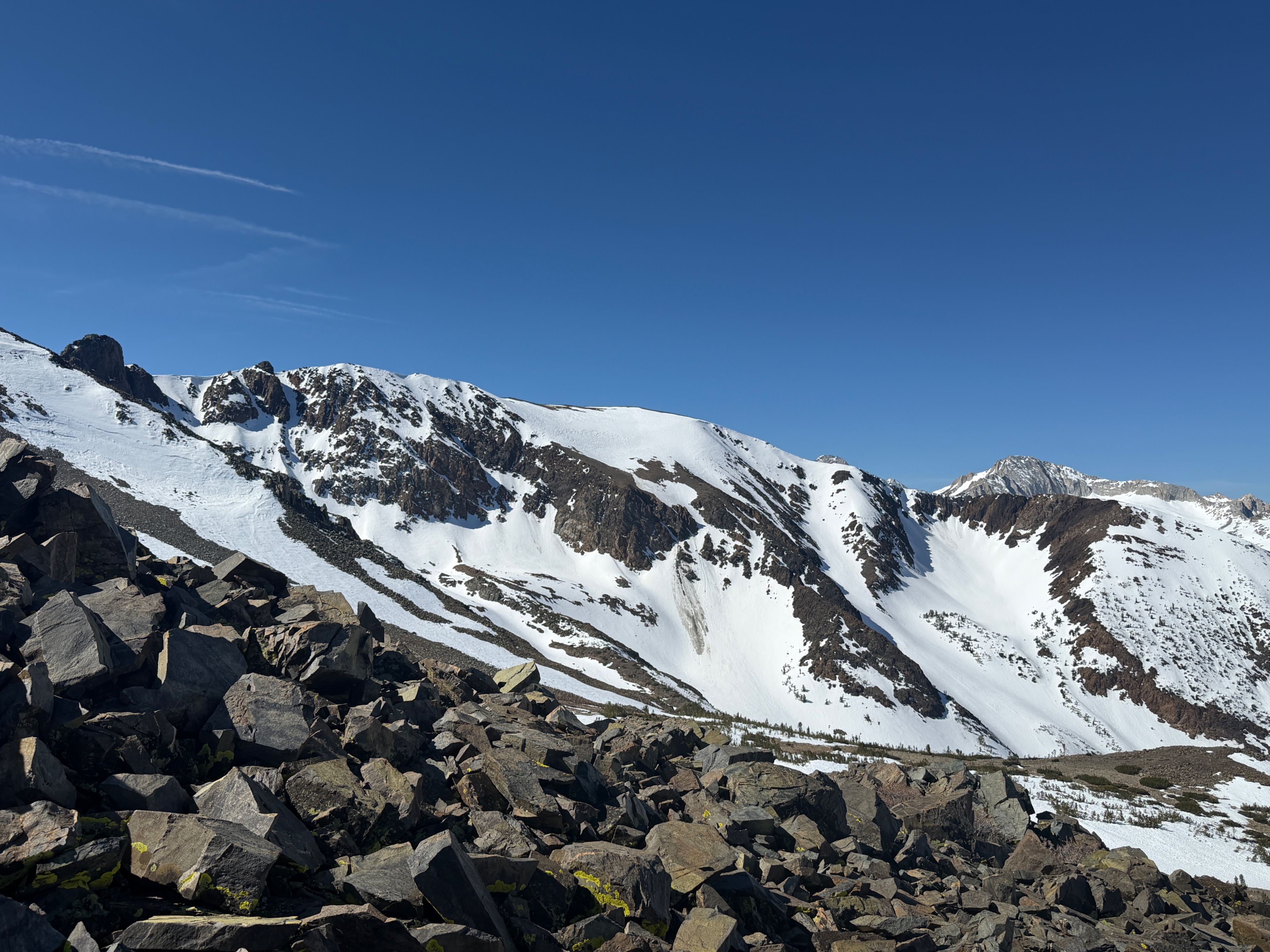
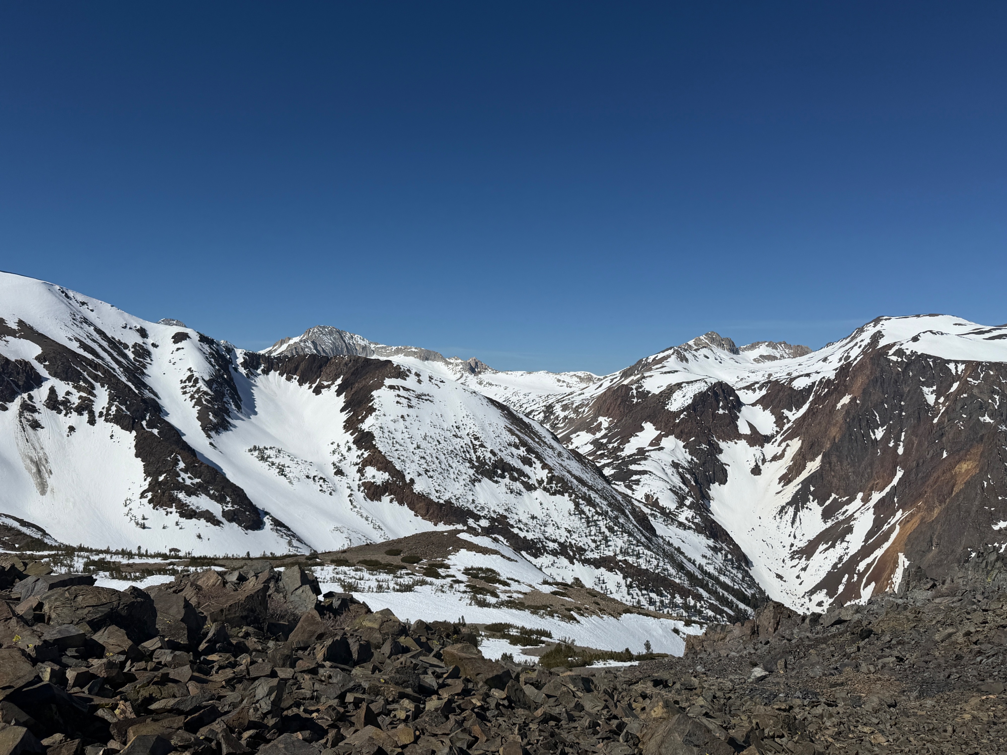
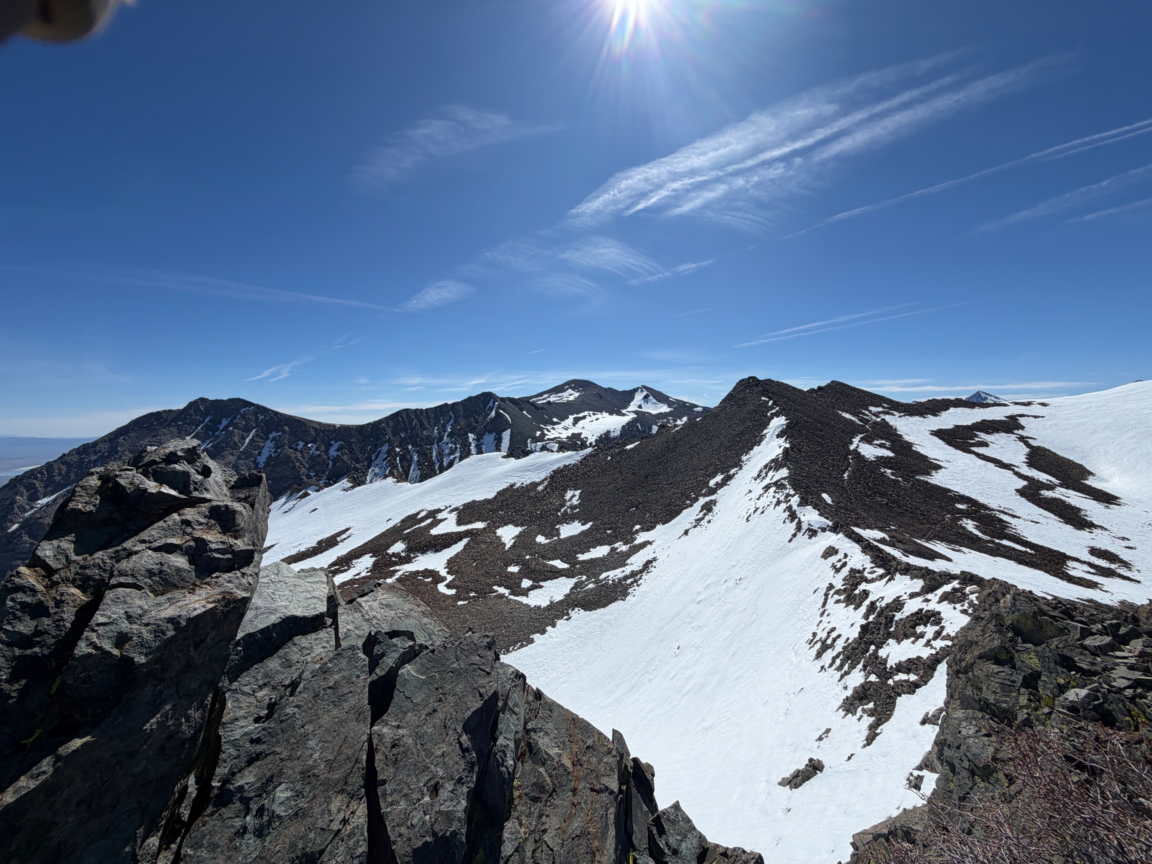
Coverage appeared significantly better further west, in the upper Lundy area, on north, east, and southeast aspects near and above treeline.
I found no signs of instability. I found an isolated pocket of deep, wet snow at 9800' on a due east aspect at 9:30 am.Weather
- Air Temp
- 57
- Cloud Cover
- clear
- Wind Loading
- none
- Recent Snowfall
- 0
- Snow Avail For Transport
- none
Shaded air temp at the truck at 7:45 was 39° F, and by my return at 11:30 am, had warmed to 57° F. Light southwest winds increased slightly through the morning.
Snowpack
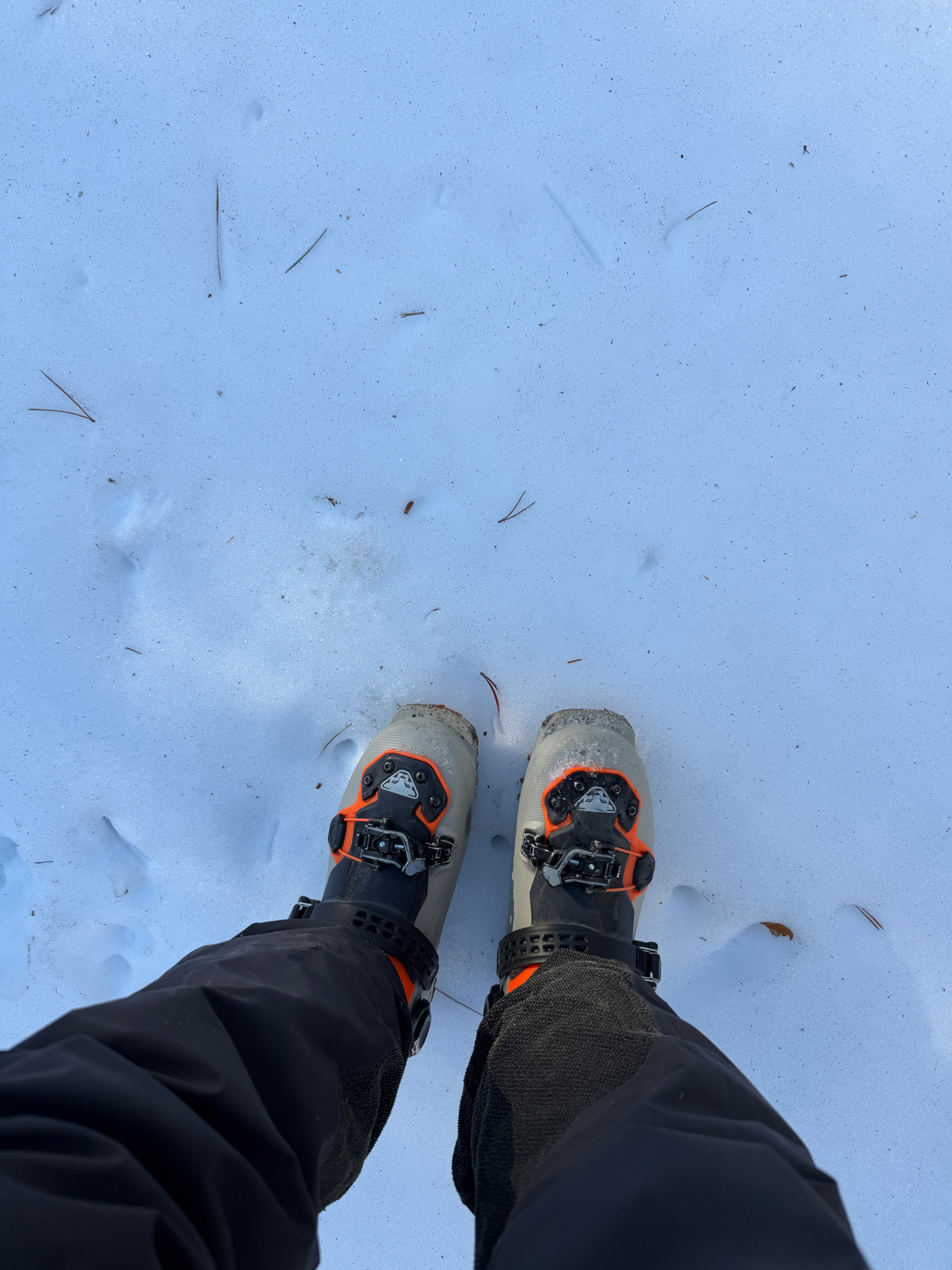
The snowpack on northerly aspects at all elevations was capped by a supportable crust at the surface.
Coverage was generally shallow, and only in previously wind-loaded pockets was there more than a meter of snow.
I was able to slide on snow from 11000' to 8100'.
Avalanche
- Size
- D1
- Aspect
- NE
- Elevation
- 10800 ft
1 small, wet loose in the Dore Cliffs Cirque that likely ran at least a week ago. I did not see any other recent avalanches on my tour or my drive.