
Quick report
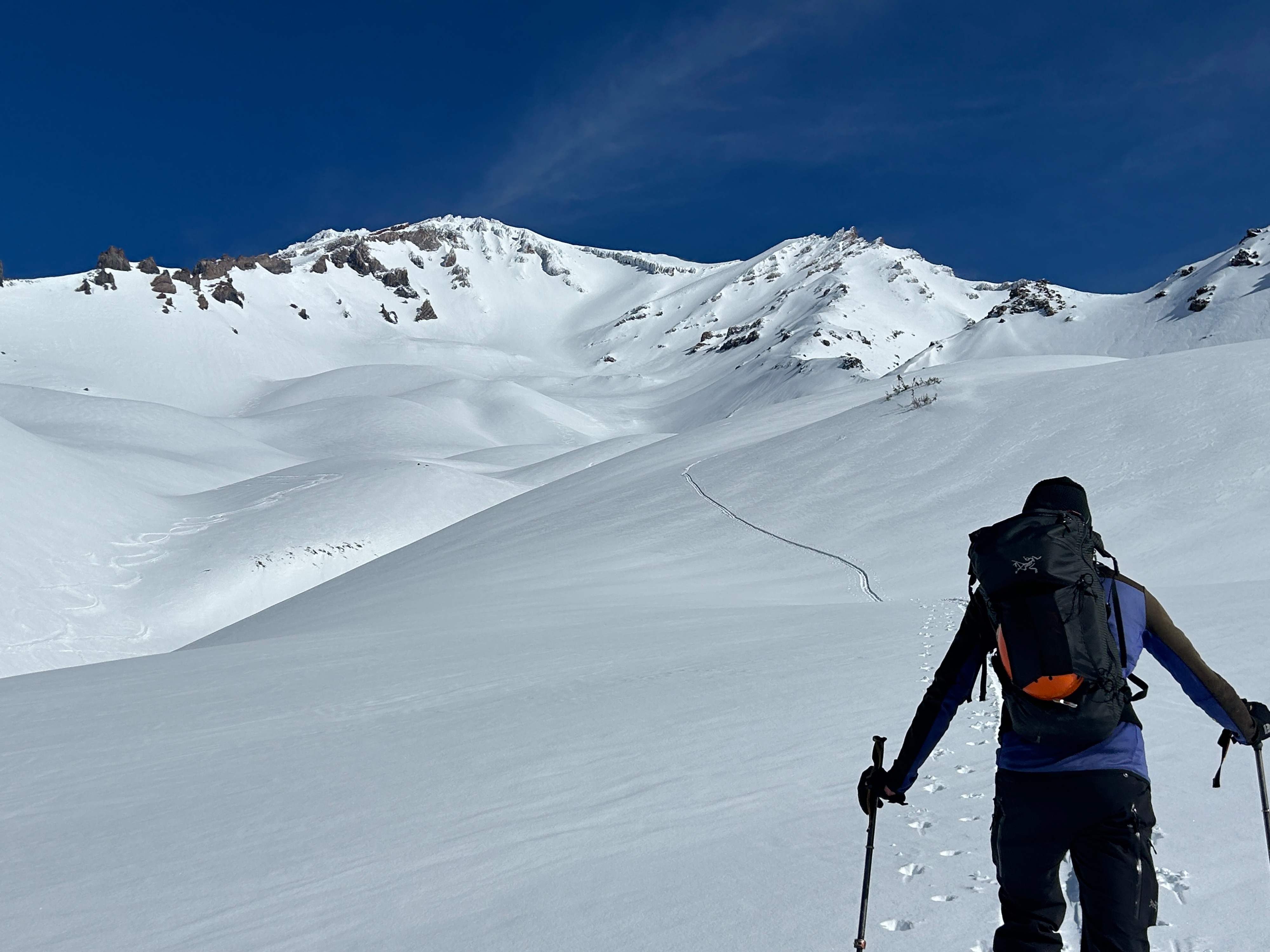
The fresh snow that fell over the region on February 11th has plastered on well but is slowly becoming weathered and variable. Nevertheless, soft and enjoyable conditions can still be found primarily above treeline on more shady aspects and around protected terrain features. Near and below treeline (roughly 9,000 feet), the majority of surfaces have been capped by a melt/freeze crust. This crust did soften to a point of enjoyable consistency by mid day on sunny slopes, while shady areas remained breaker!
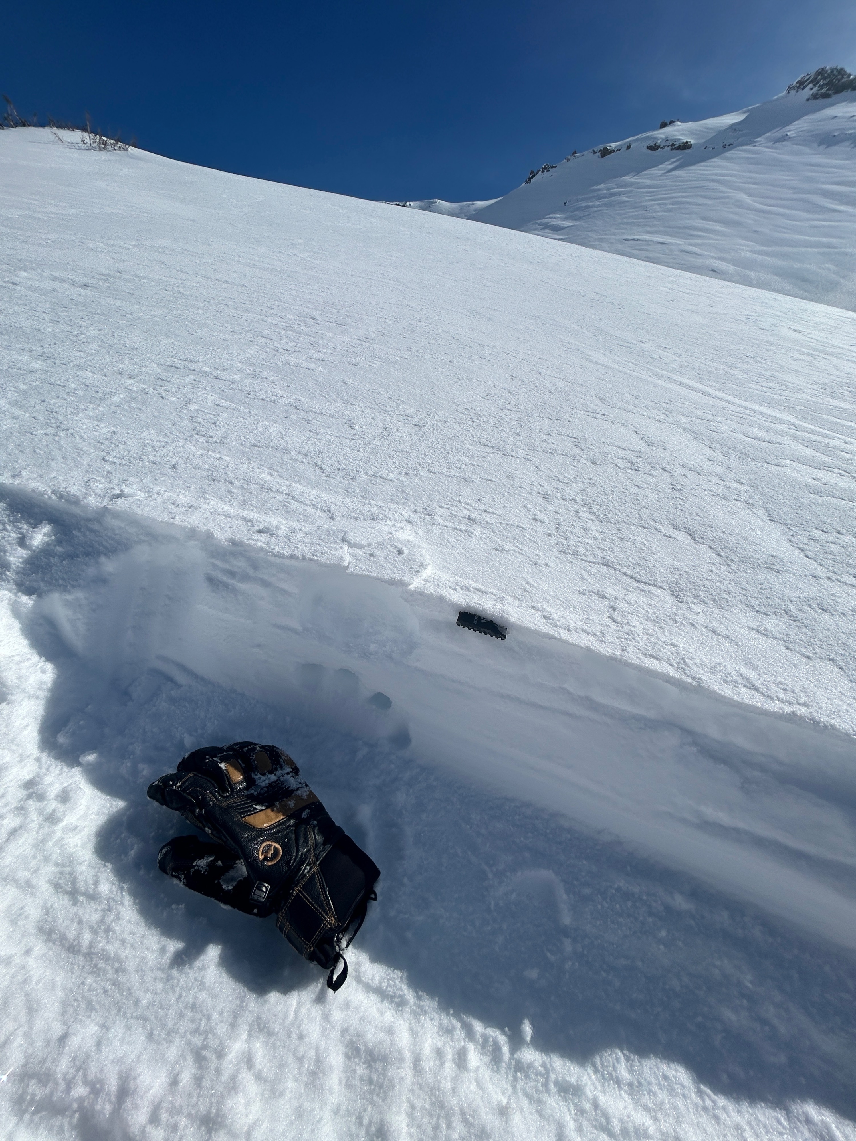
No signs of wet loose or wind slab instabilities were observed in the snowpack today and the majority of snow surfaces seemed well bonded. Drifted locations held locally deeper amounts, illustrating there's still potential for reactive snow among complex and steep terrain.
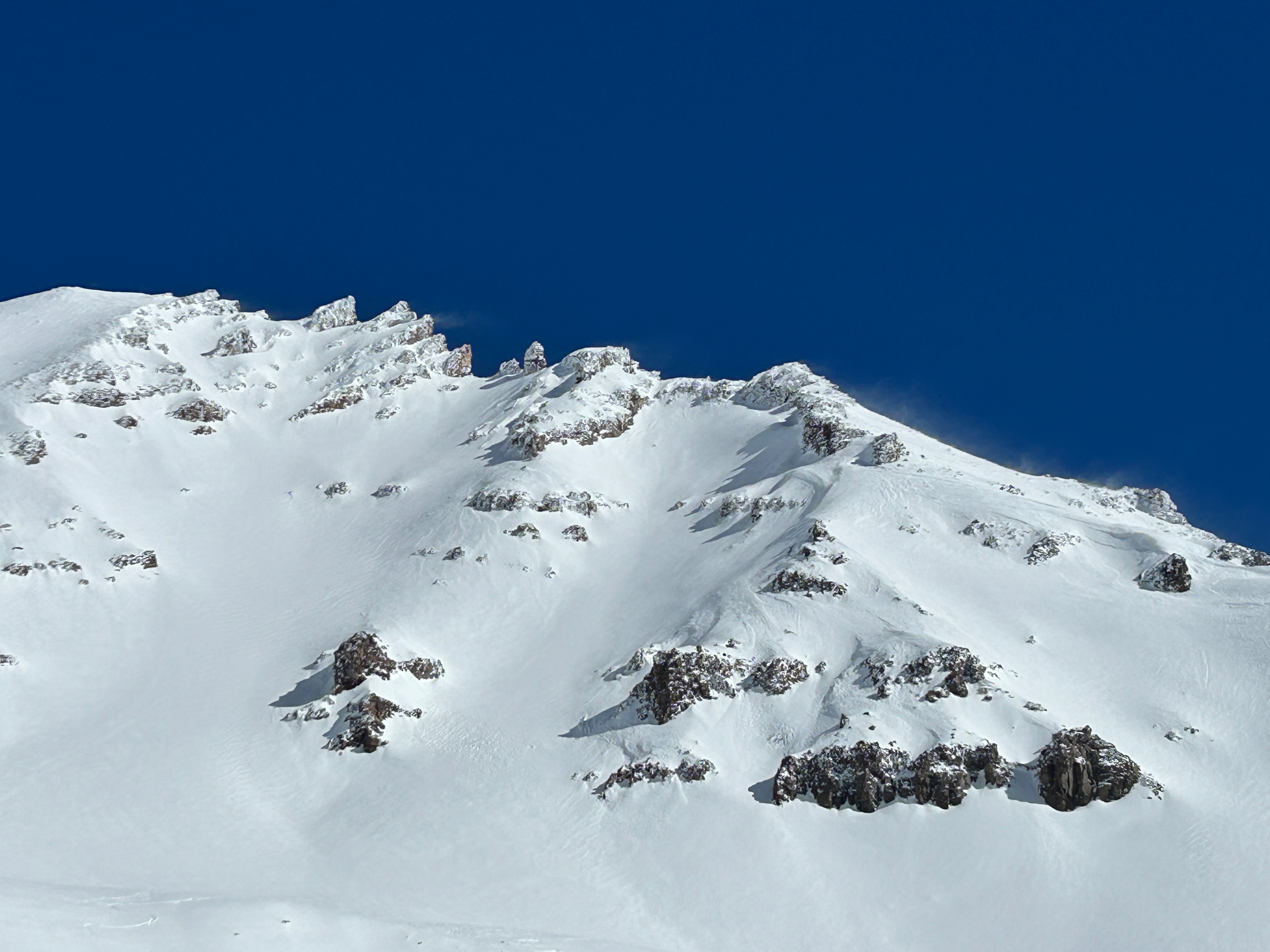
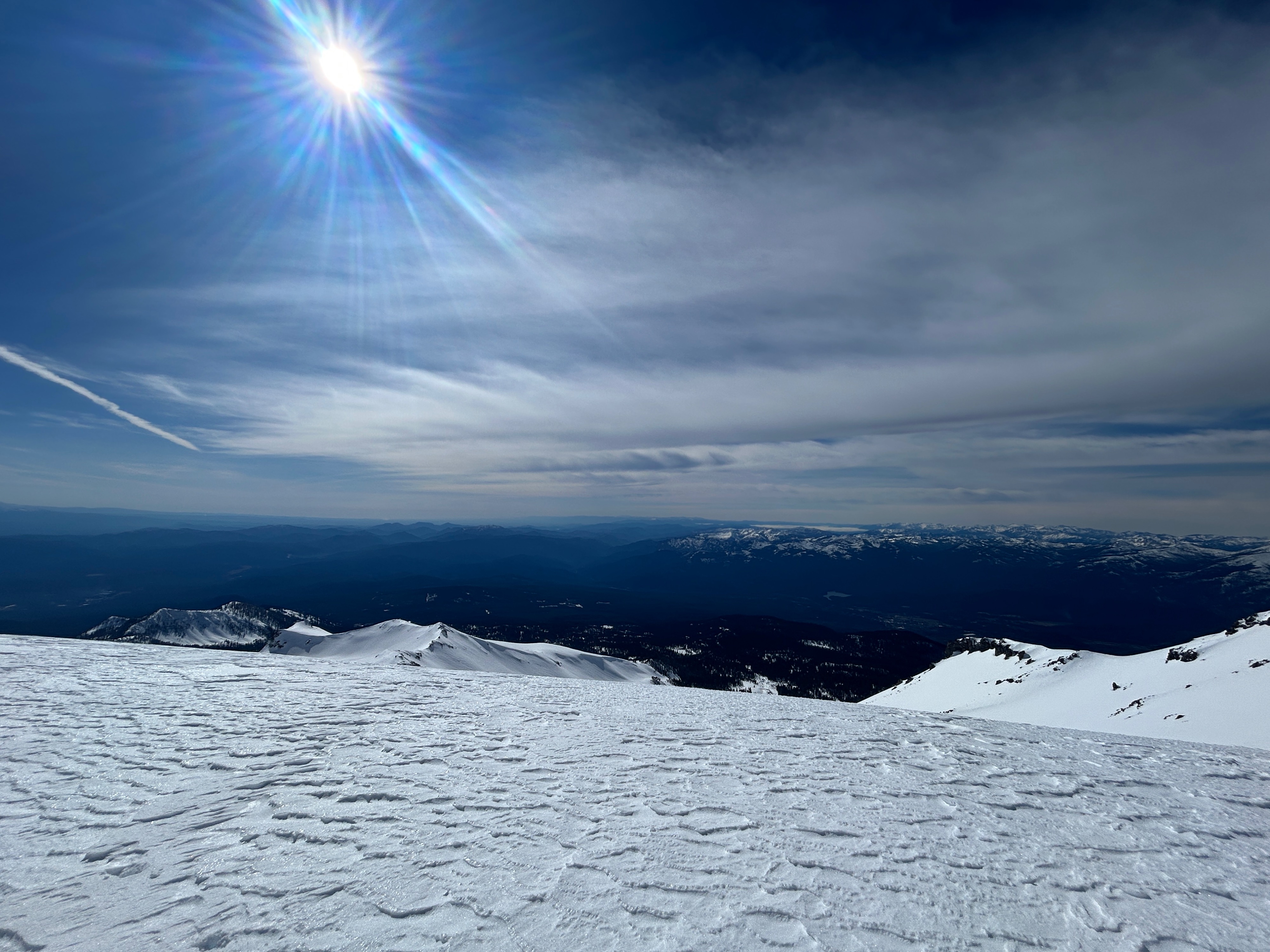
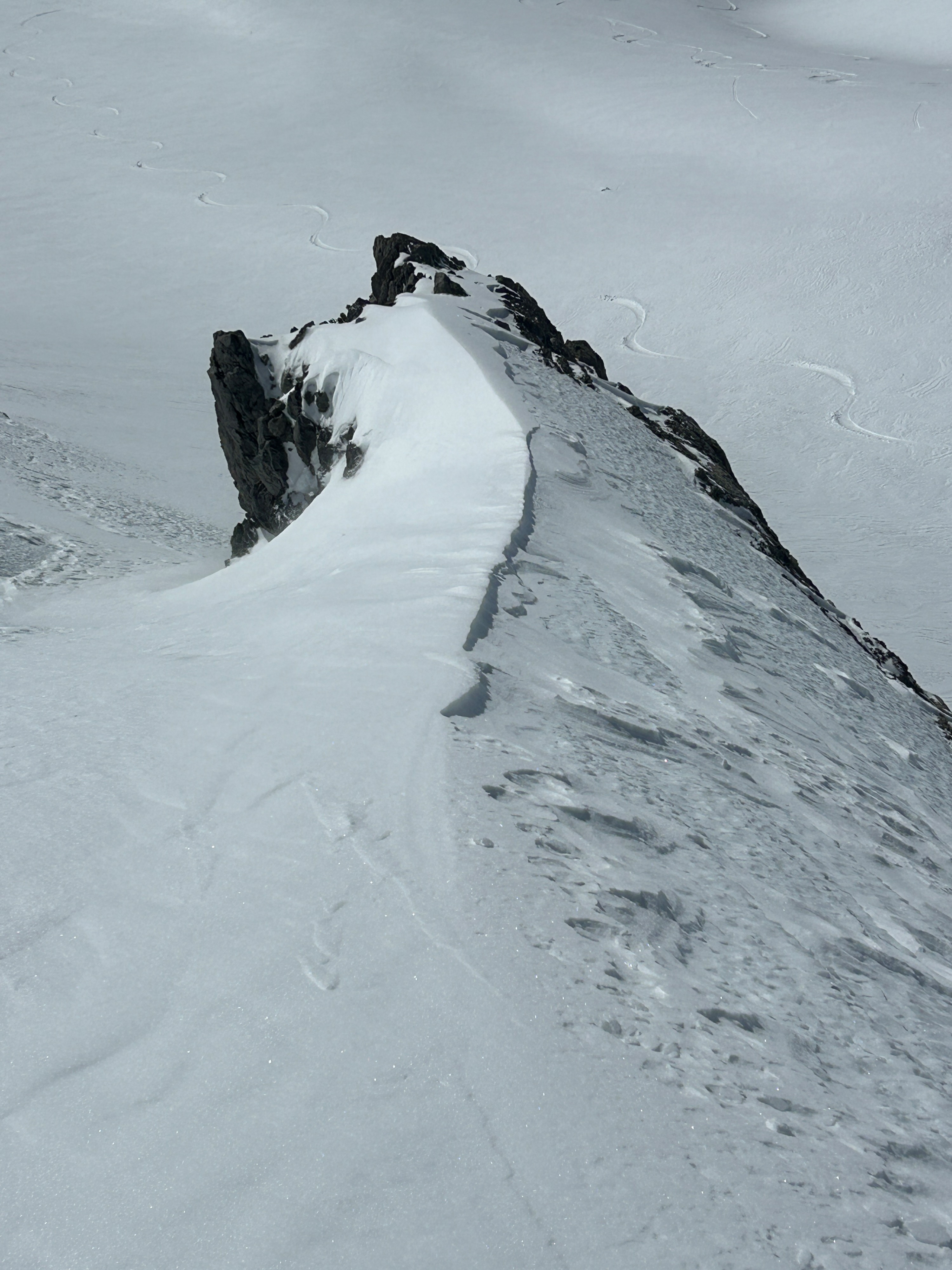
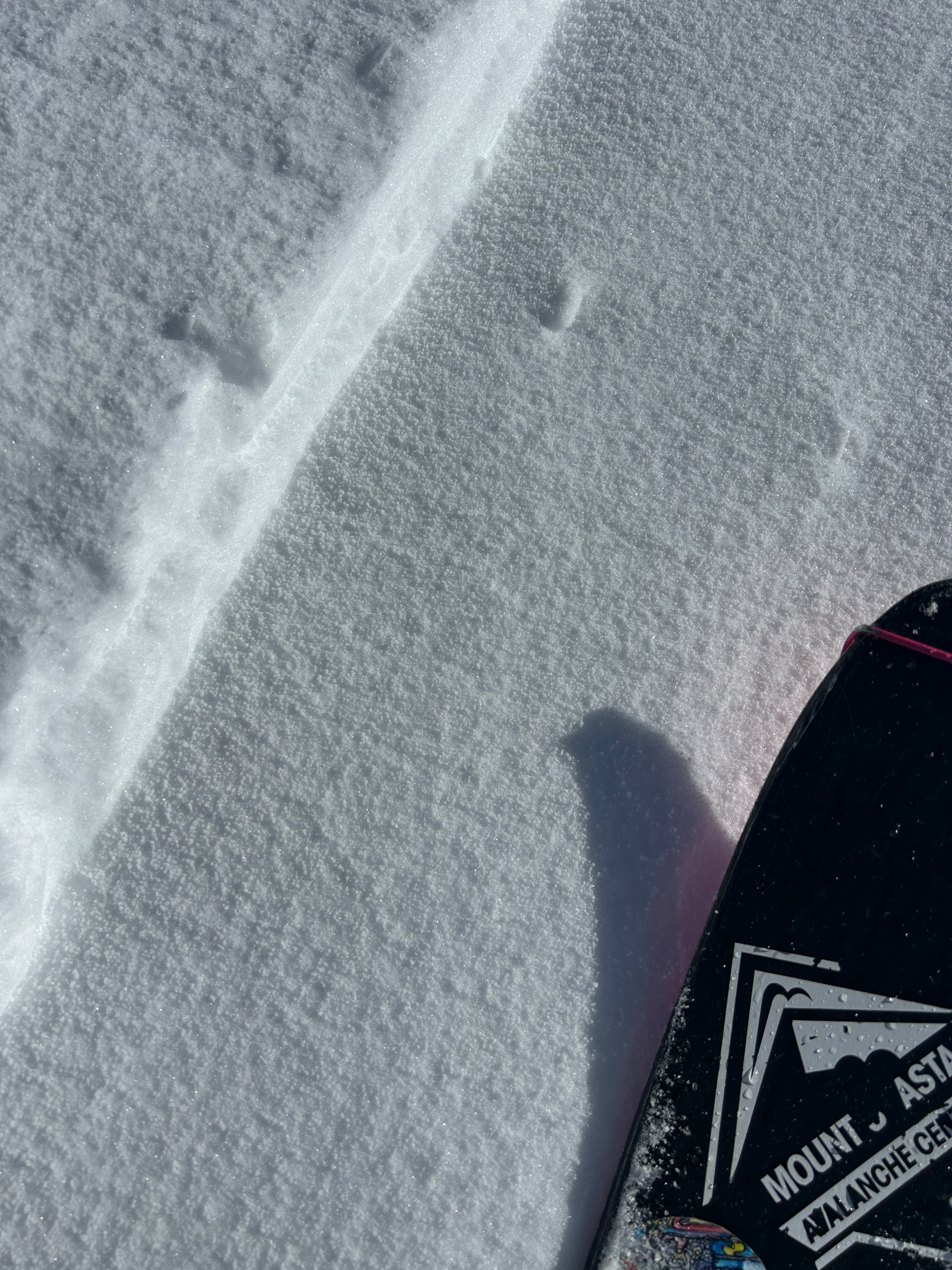
The dry snow quality allowed for light to moderate snow transport to occur throughout the day. This was most pronounced above 9,000 feet, along exposed ridgelines and rock outcrops. The snow quality was dry, chalky, and wind-buffed in most places, with drifted depressions holding the deepest amounts. Near and below the treeline, graupel was a predominant surface grain type, which is known around these parts for producing large avalanches but will most likely get destroyed by the harsh winds to come.
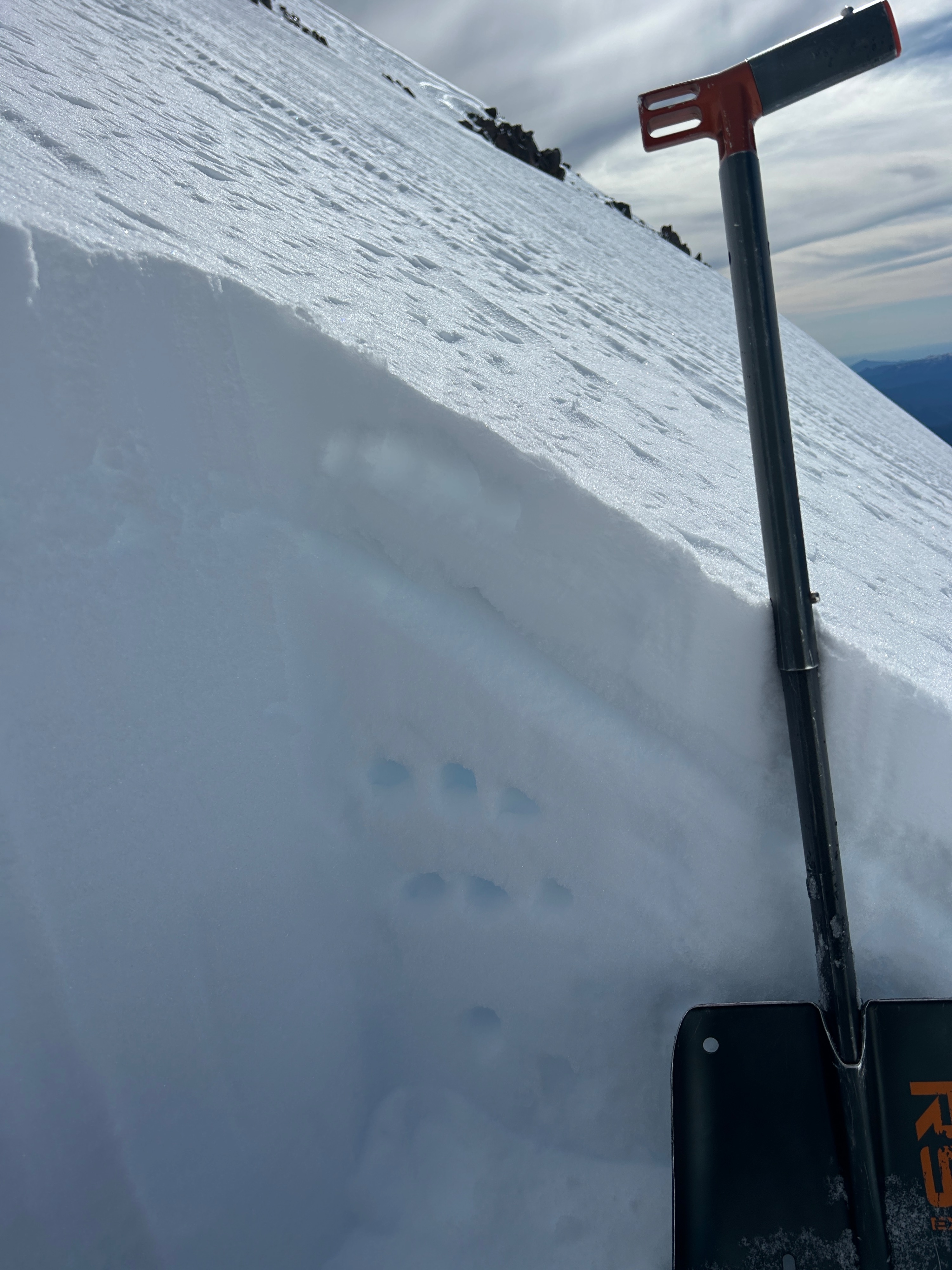
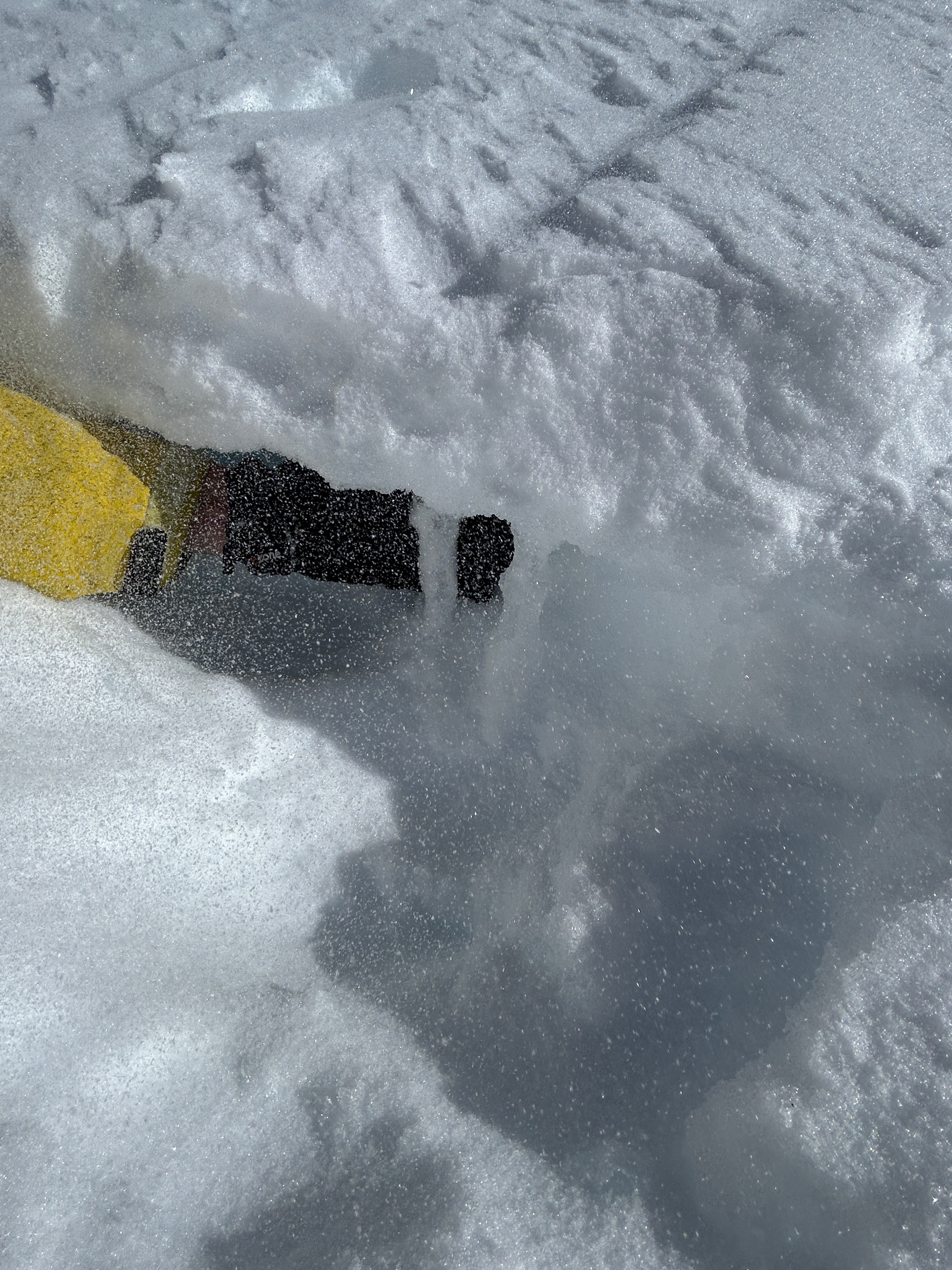
No obvious signs of unstable snow were observed. - Actively blowing snow from westerly winds could be seen over the upper mountain and off Sargents Ridgeline for the majority of the day - A poor snowpack structure was observed at 10,000 feet on a west-northwest aspect in Avalanche Gulch. See photos and video for moreWeather
- Air Temp
- 37
- Cloud Cover
- few
- Wind Loading
- light
- Recent Snowfall
- 12
- Snow Avail For Transport
- large amounts
A crisp and clear bluebird day trended cloudy and cold by mid-afternoon. Winds blew from the west at moderate to strong speeds and temperatures sat in the upper 30s.
Snowpack
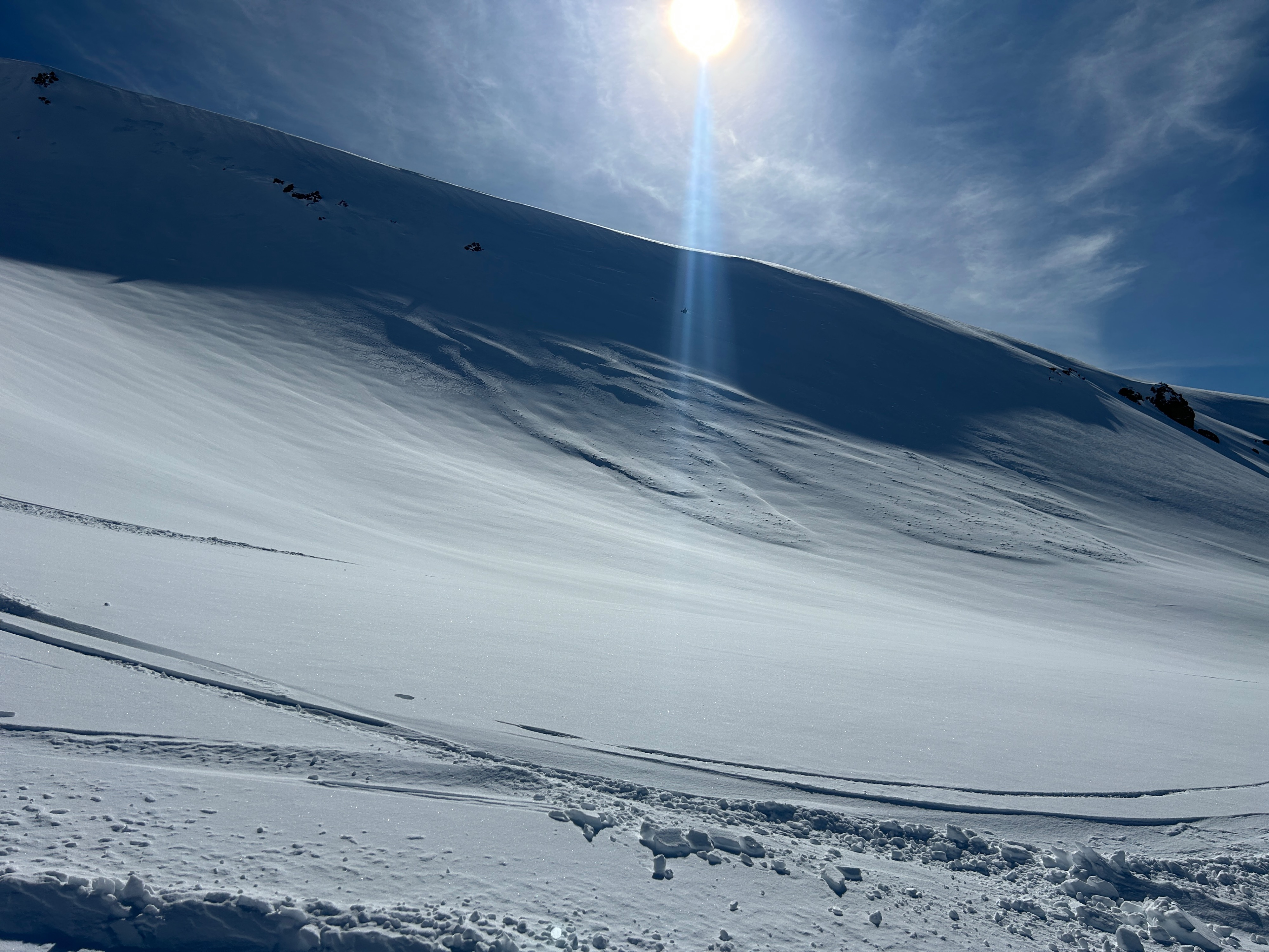
A potentially old avalanche was observed off the west aspect of Green Butte Ridge at roughly 9,200 feet that likely ran during the storm on Wednesday, February 11th. See photos.
The snowpack near treeline on Mount Shasta is largely comprised of a soft surface slab of recent snow sitting on a widespread crust. This crust holds varying thicknesses dependent on aspect and elevations. Beneath the crust is old, faceted snow a couple of feet in depth.