
Quick report
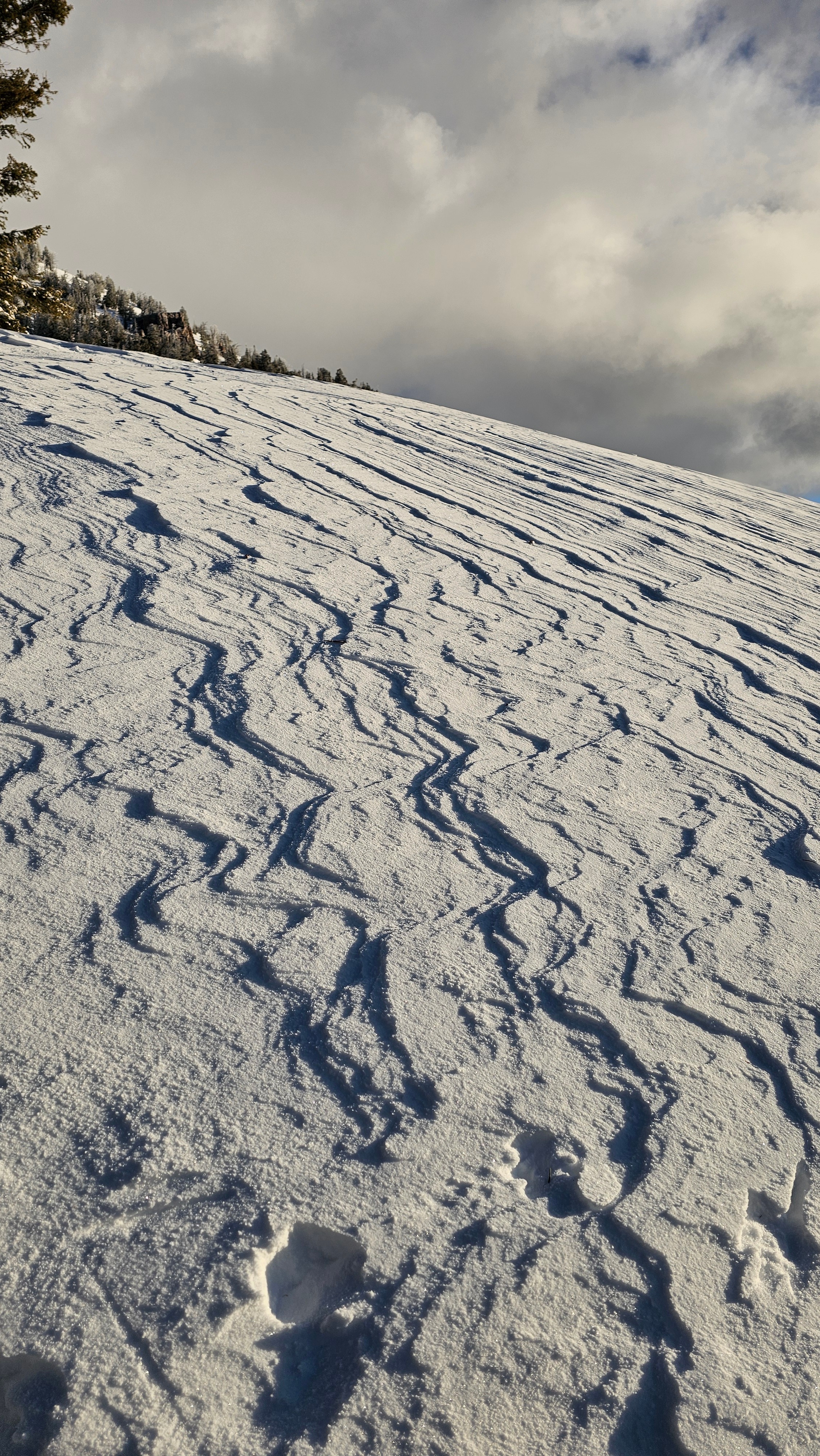
Wind affect as far as the eye can see. Many slopes were perfectly loaded, while others scoured, and somewhere in the middle was good turning. Most NE-N-E-SE slopes have been loaded. In hand pits the snow is starting to bond, but there is an iterface below recent snow and wind drifts that is less cohesive than the slab on top. I am still seeing good signs of bonding to the Dec. 10th rain crust.
Lots of wind loading from the last 48 hours.
Weather
- Cloud Cover
- scattered
- Wind Loading
- light
- Snow Avail For Transport
- small smounts
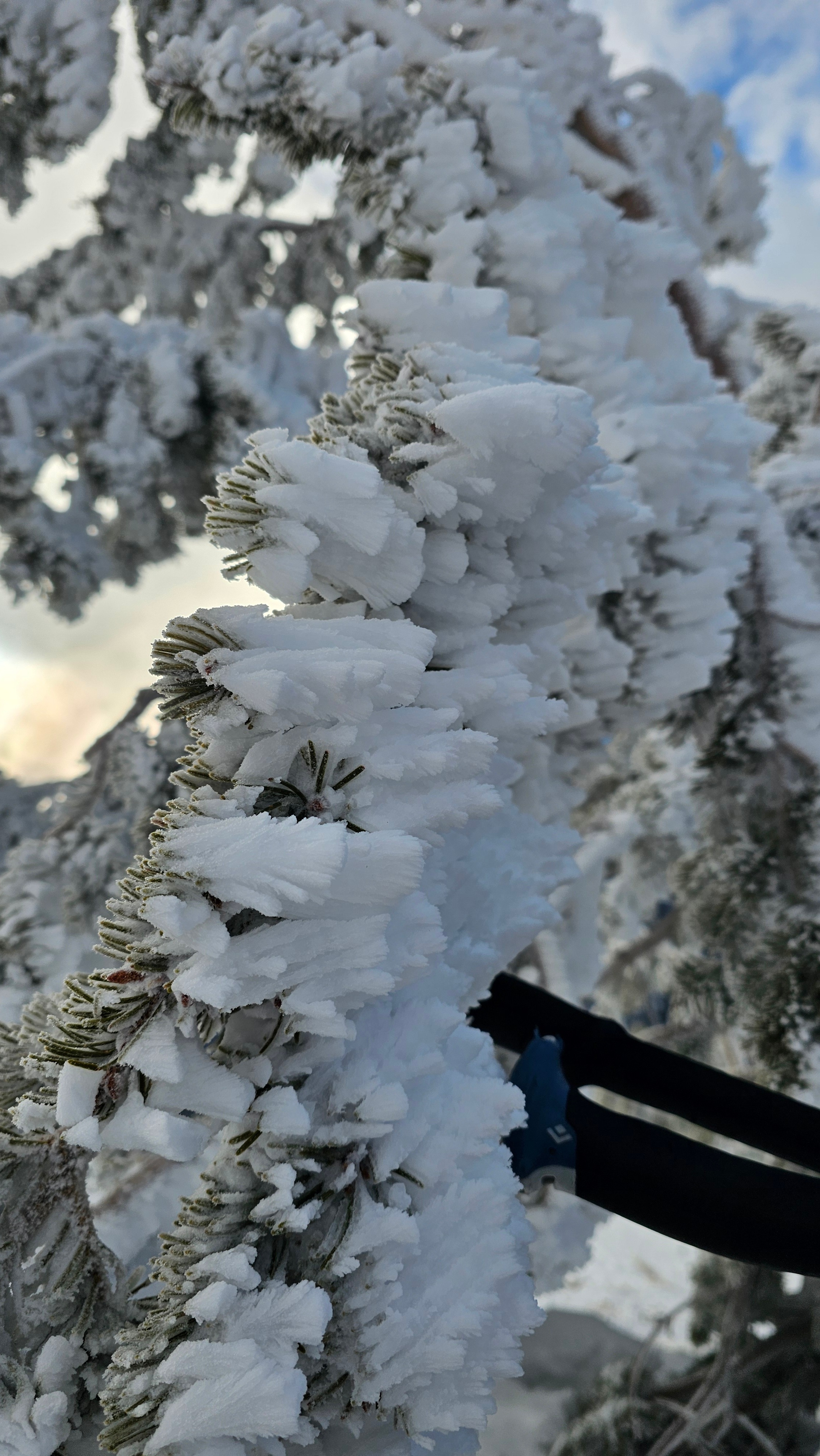
A lot of wind affect from yesterday. Despite moderate westerly winds not much snow was moving, it would seem yesterday did the brunt of snow erosion and transport. Temps dropped through my time in the field. The cloud deck was hovering around 10,000' with riming on trees above 9,600'.
Avalanche
- Size
- D2.5 R2
- Type
- HS
- Aspect
- NE
- Trigger
- N
- Elevation
- 9900 ft
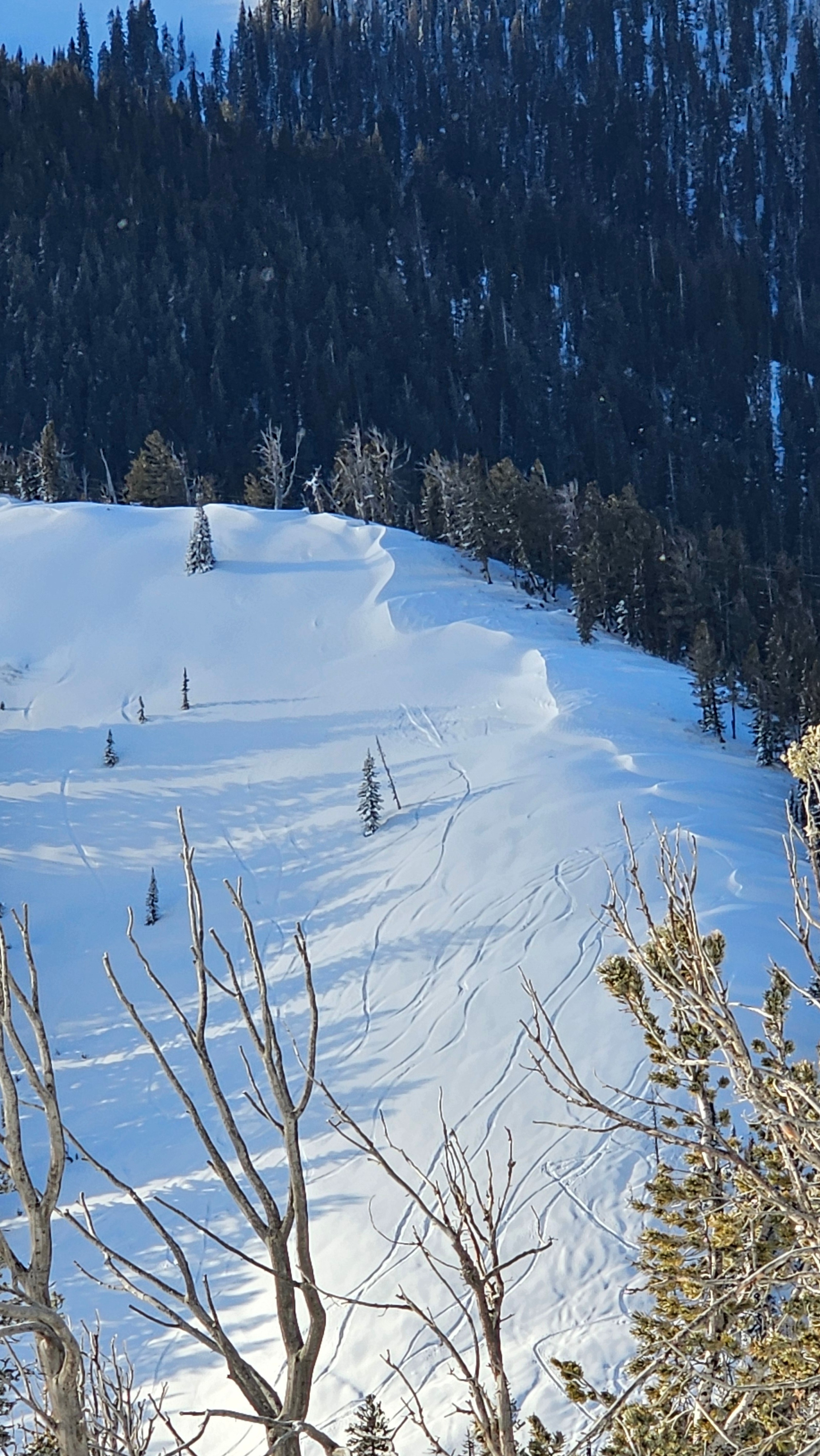
This avalanche probably released late yesterday or in the evening during peak snow and wind rates. It was partially filled back in but extend all the way from the Glory south summit to the east facing terrain in Little Tucks. At its deepest the crown looked to be 3 feet, with average crown depth of around 1 foot. On a map this would measure ~1400' wide and 700' fall. The north side of the avalanche was the deepest and put most of the debris in the bottom, a lot of debris from the middle and south part of the slide stopped at the first cliff band. Based off of what the left over debris at the top look liked I would say it was a hard slab avalanche. Based off what we have been seeing this was likely a wind slab that failed on the interface between the Wednsday 12/17 and our recent storm that started Thursday 12/18.