


Quick report
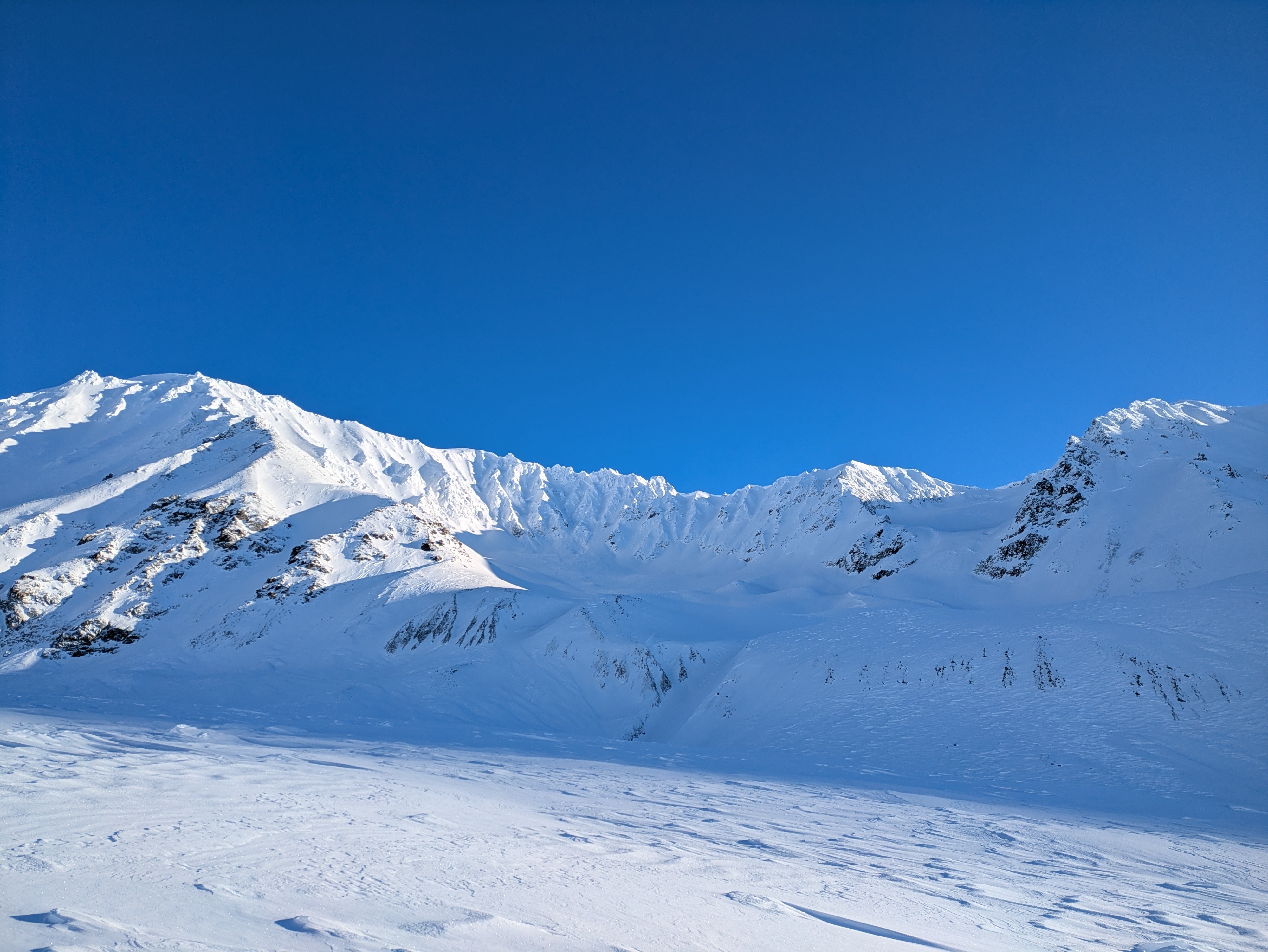
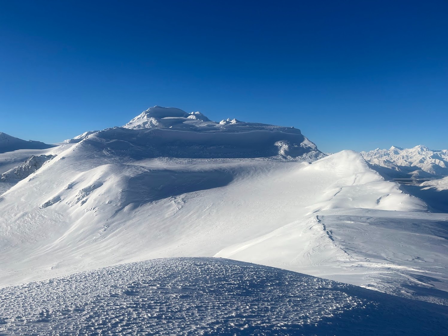
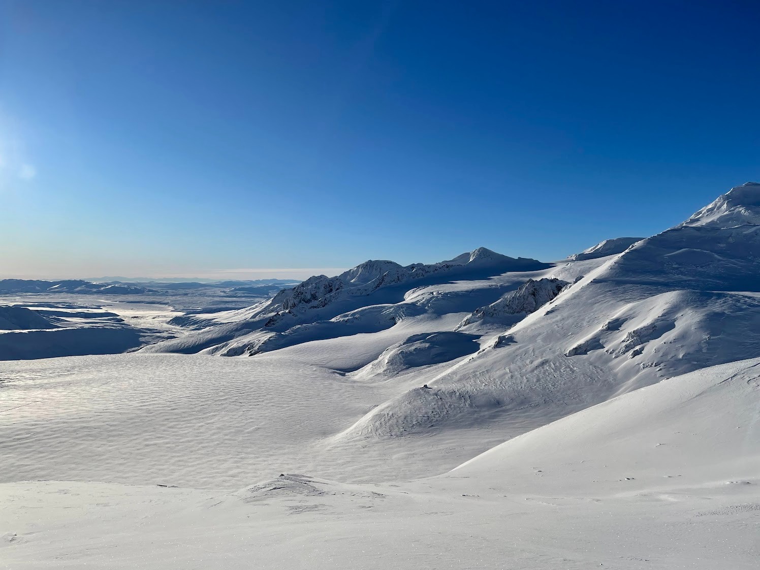
As the snowpack consolidates and settles after the new snow from last week's storm cycle the biggest thing we were on the lookout was wind slabs. Even though we had a calm day the previous wind event was evident everywhere: from wind lips in the valley, along Phelan creek, across the galcier, and wind blasted ridgelines.
Be on the lookout for any spots where the wind slab can build up: leeward faces, cross loaded gulleys, etc.
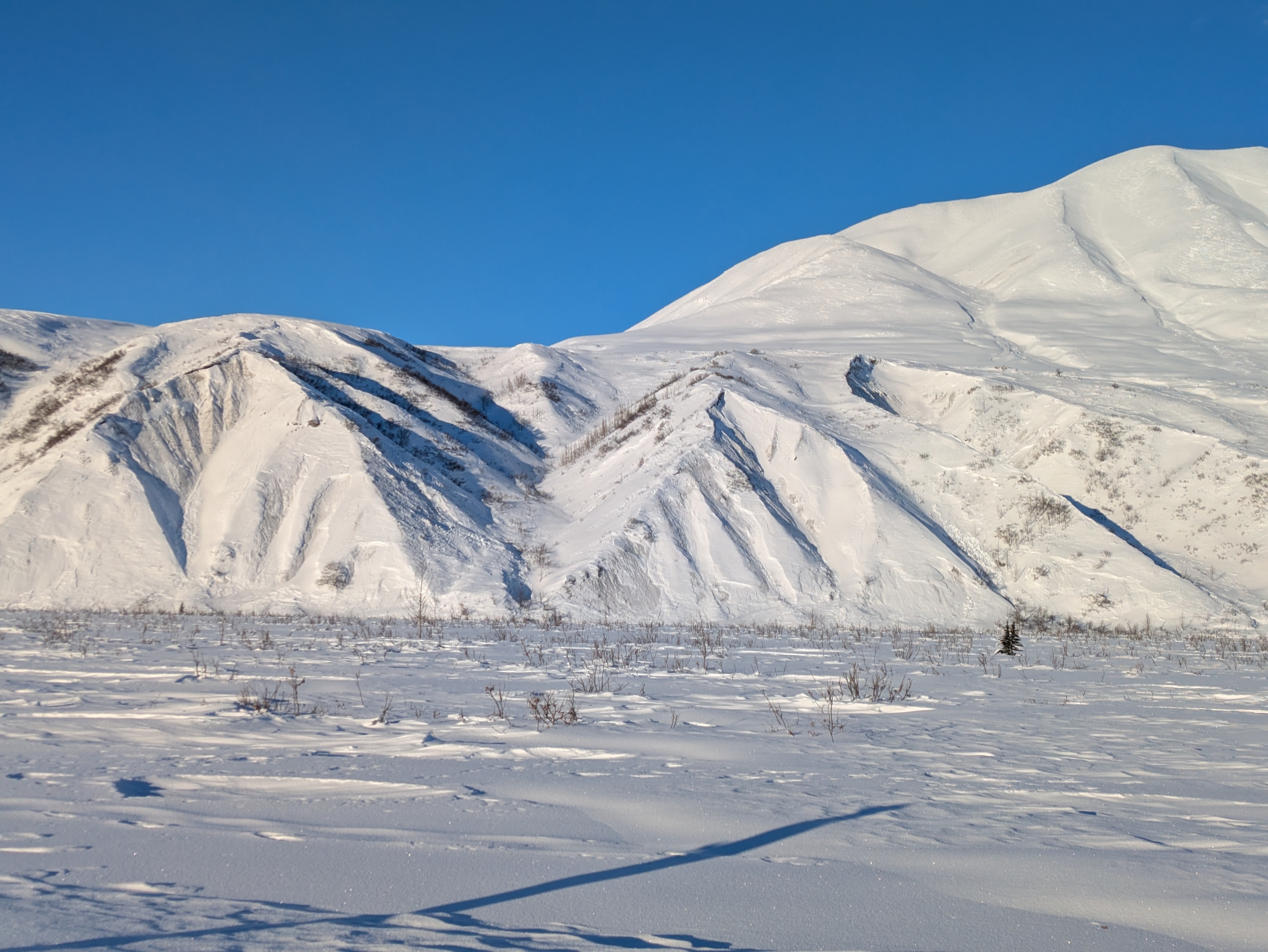
Numerous avalanches from the last storm cycle a few days to a week old. No other signs observed.Weather
- Air Temp
- 15
- Cloud Cover
- clear
- Wind Loading
- previous
- Recent Snowfall
- 0
- Snow Avail For Transport
- small smounts
Cool, clear, and calm day.
Snowpack
With large influx of new snow last week there were numerous small slides on different slopes and aspects. The snow depth varies widely depending on wind exposure.
We found on the ridge lines we traveled a thin crust above unconsolidated facets. Where the wind crust turns into a slab is the areas of greatest concern.
Avalanche
- Size
- D2
- Type
- HS
- Aspect
- SE
- Trigger
- N
- Elevation
- 6100 ft
Large Crown above Gulkana Hut. Appeared to be wind slab from last week storm cycle and wind event. A few days old. Hard Slab-Natural-D2-New/Old Interface (HS-N-D2-I) Above Gulkana Hut, elev 6,100', aApect SE, 600' wide x 200' fall