
Quick report
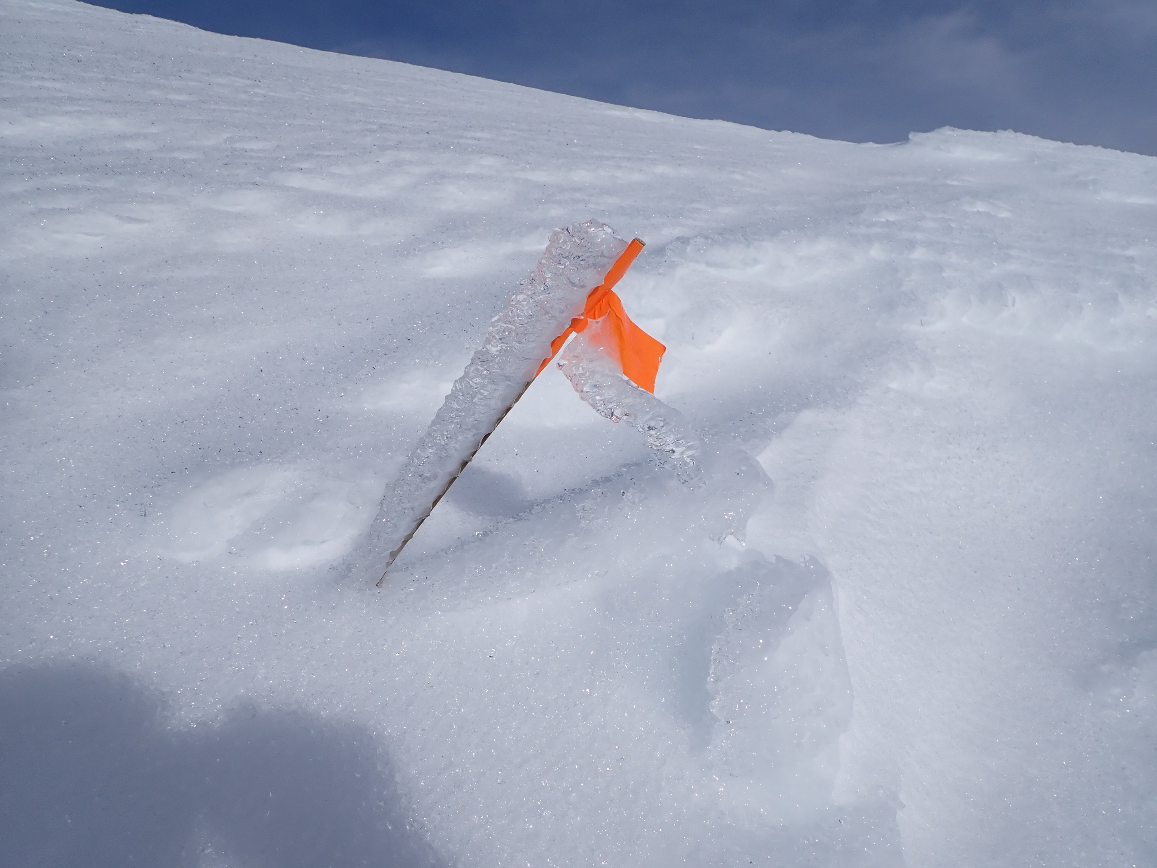
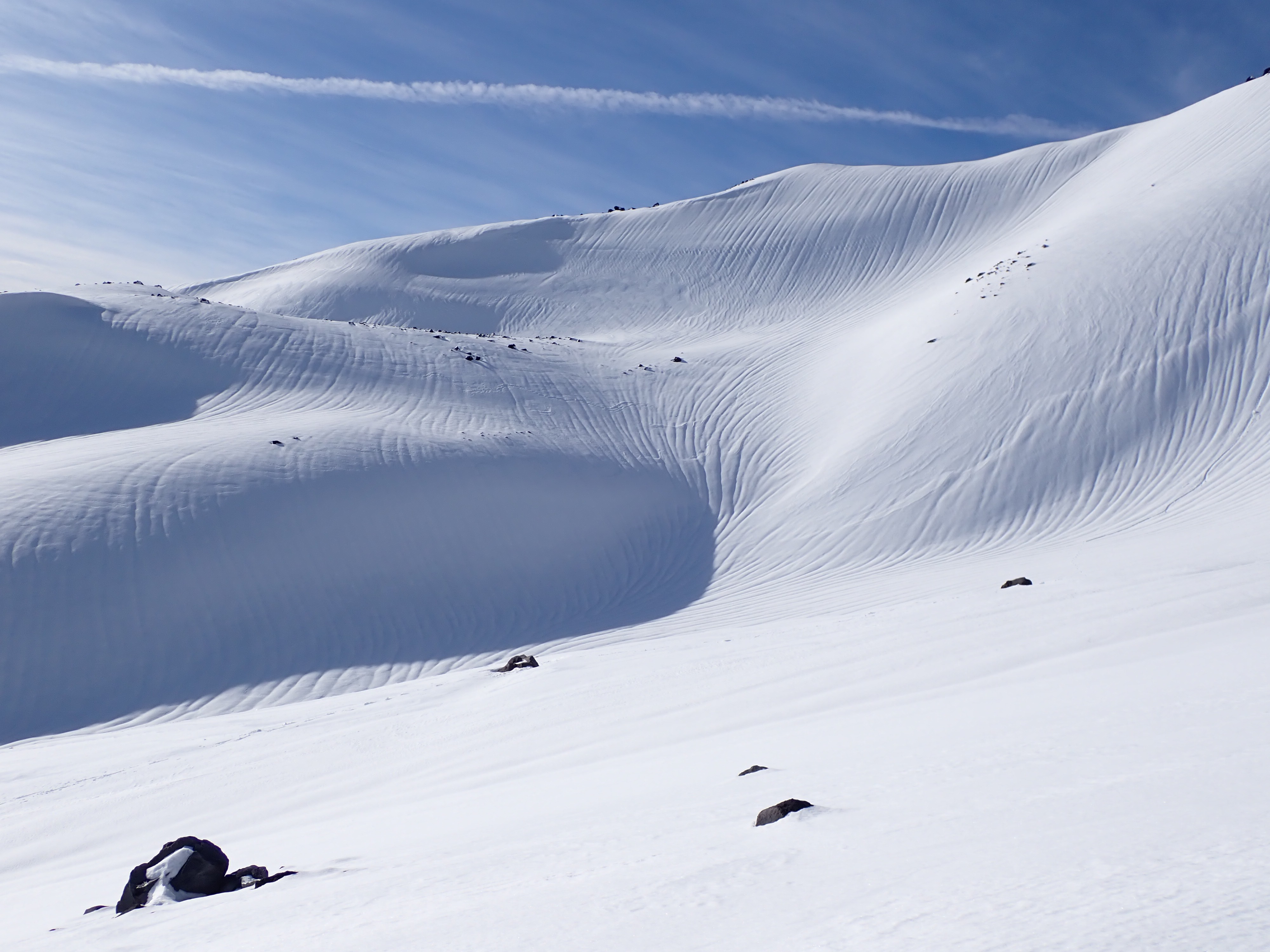
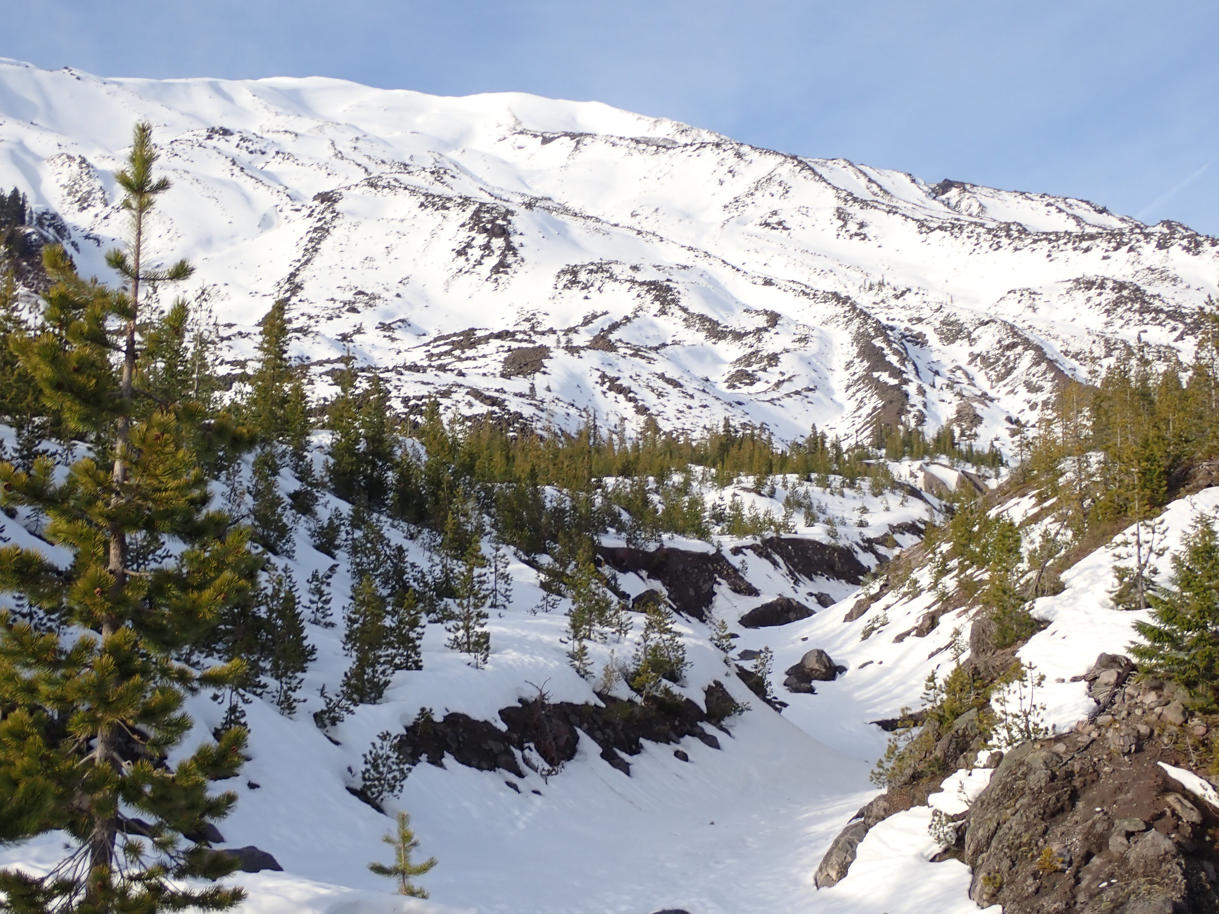
There was new snow above 4500'. It looked like 8-10" deep by 7000'. It was very warm and wet, even in the pre-dawn hours, up to 6800'. Above that there was a thick hard layer of clear ice over snow, Ice was 1-2" thick on the east aspect of Monitor Ridge from 7200-7600'. It softened enough by mid-day that you could kick through it in crampons. The ice did not soften much above 7800'. I saw no signs of any avalanche activity during the recent storm or today. In mid-afternoon. a lone downbound snow boarder kicked up a lot of rollers below 6500', but that was the only sign of instability today. The freezing line was just below 7000' early today, but it was above freezing on the rim by afternoon when the clouds thinned and the wind dropped from 25-30 mph down to 15-20 mph. There were rainwater channels everywhere above 6000'