
Quick report
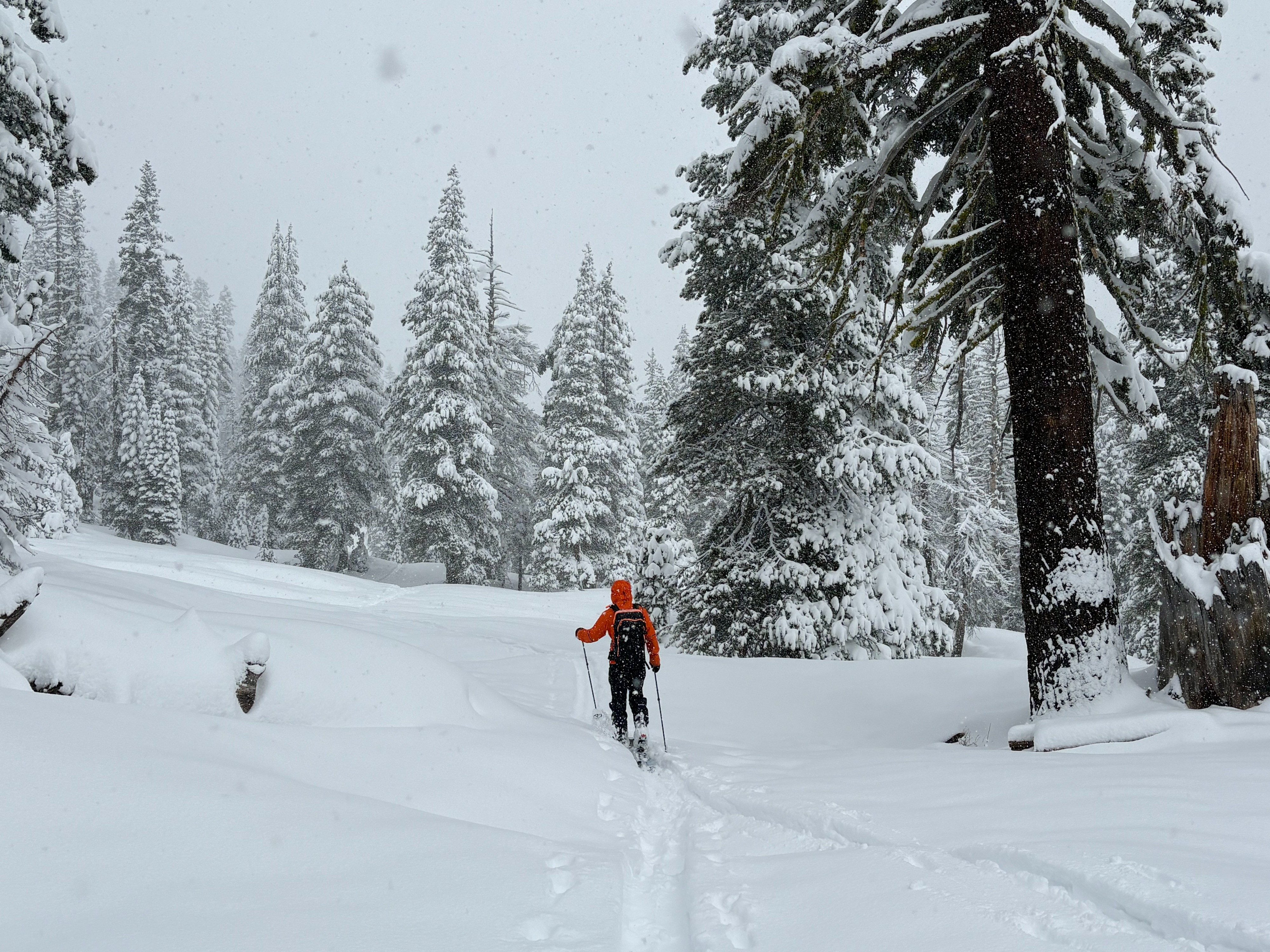
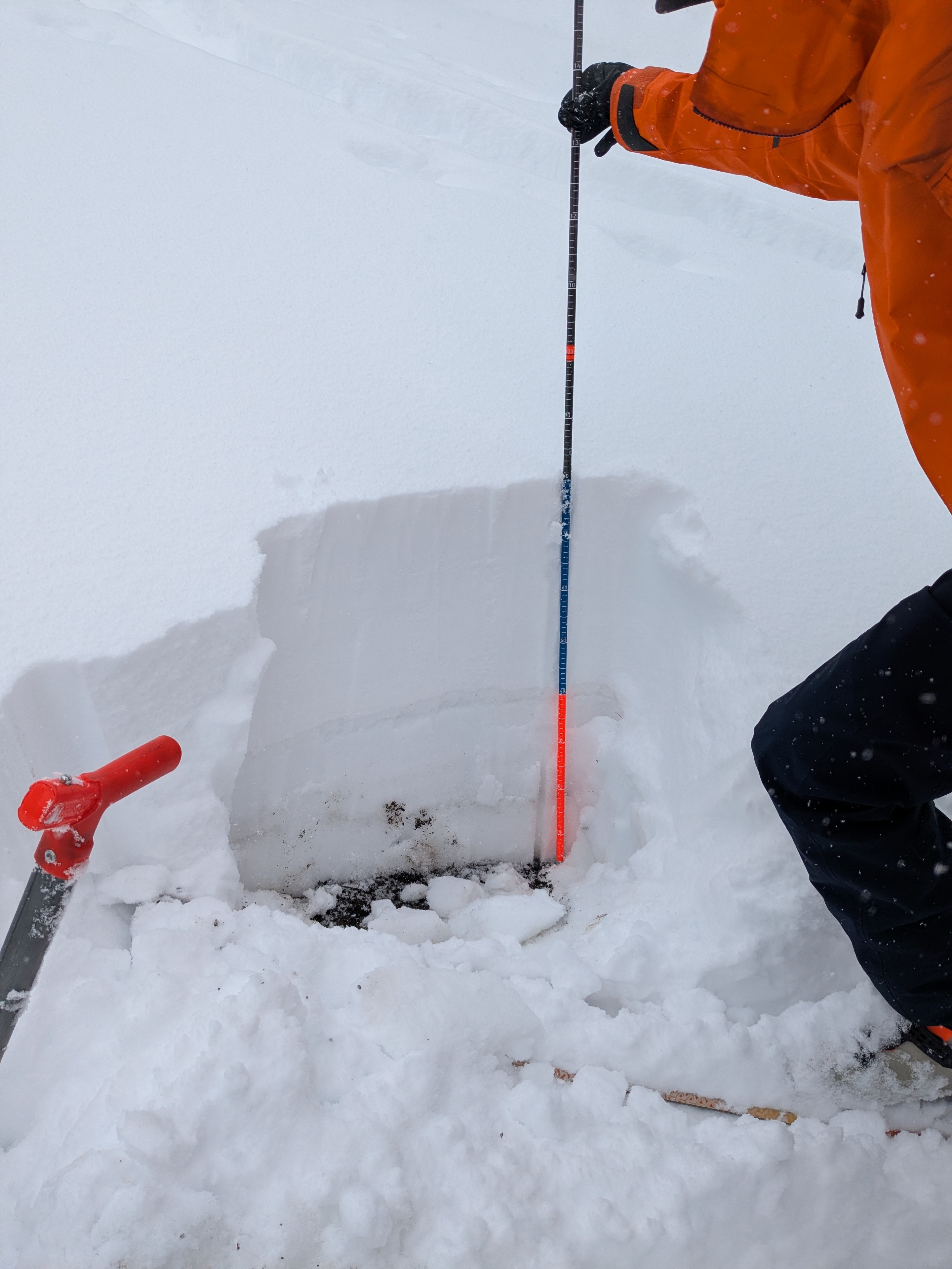
We toured on Andesite Peak this morning, covering ENE and E aspect terrain. This area, especially above about 7,400' has had a welcomed net gain in snow cover during the month of April. Around 10 inches of new snow existed at the 7,200' trailhead at 9:30 am. At 7,700' there was 14 inches of new snow at noon. Significant amounts of new snow were present on the ridgetop in above treeline areas.
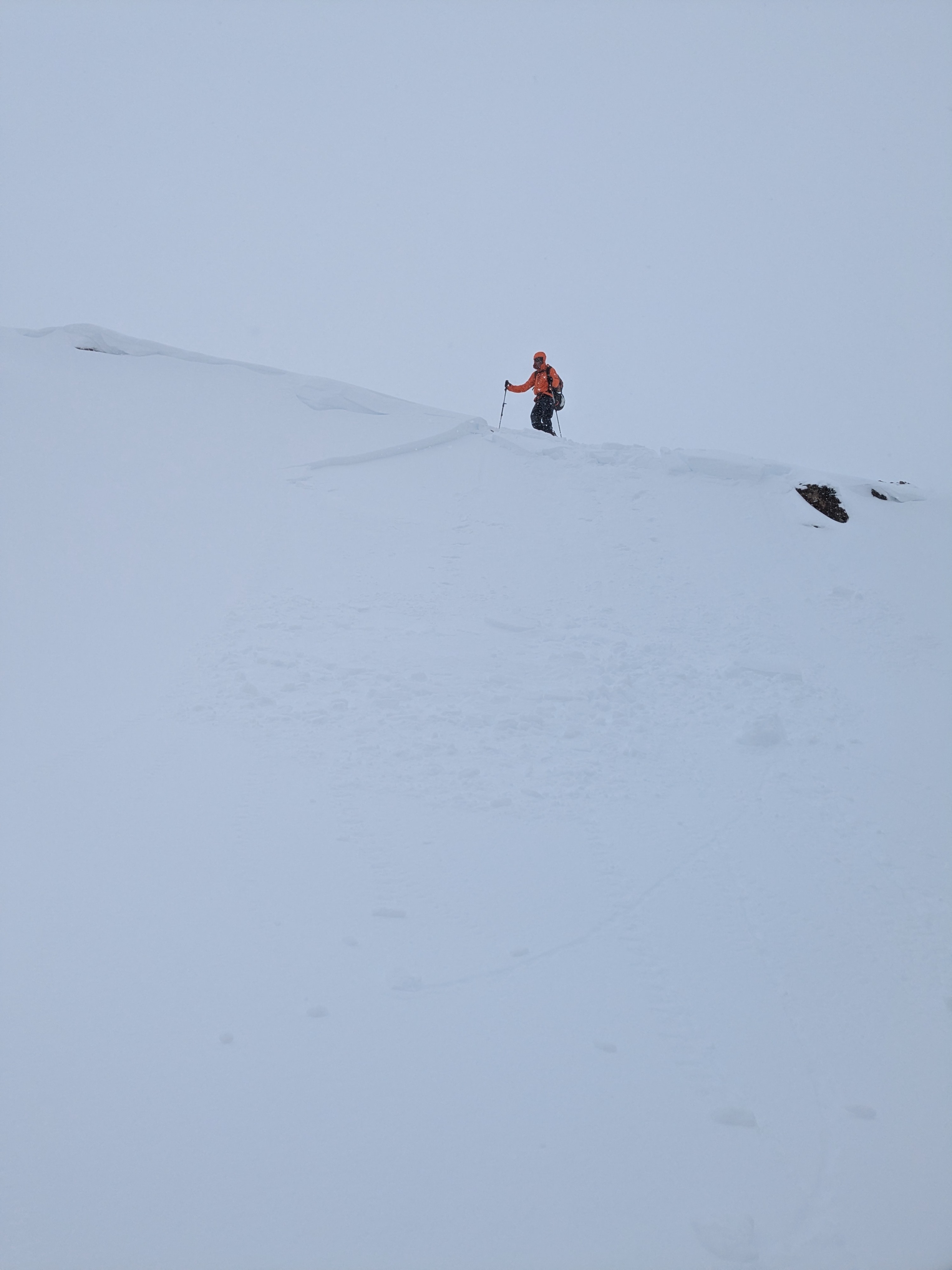
In all areas the new snow sat on top of wet grains with decent bonding at the old/new snow interface. In wind protected areas the new snow was right side up and did not reveal signs of instability. In wind loaded areas there was some slab formation with 4F hard storm snow on top of F hard storm snow. Intentionally collapsing small sections of cornice onto a wind loaded test slope were able to trigger small storm slabs up to 6 inches deep with limited propagation to either side. In one location there were two slabs stacked on top of one another. We triggered a 3 inch deep storm slab initially and then with an additional cornice collapse we triggered another storm slab failure within the bed surface of the first test slope avalanche.
Signs of unstable snow were limited to wind loaded areas.Weather
- Cloud Cover
- overcast
- Wind Loading
- light
- Recent Snowfall
- 35
- Snow Avail For Transport
- large amounts
Snowfall rates ranged from S2 at the start of our tour, down to S<1 mid morning, and back up to S2 late morning as convective snow showers developed.