
Quick report
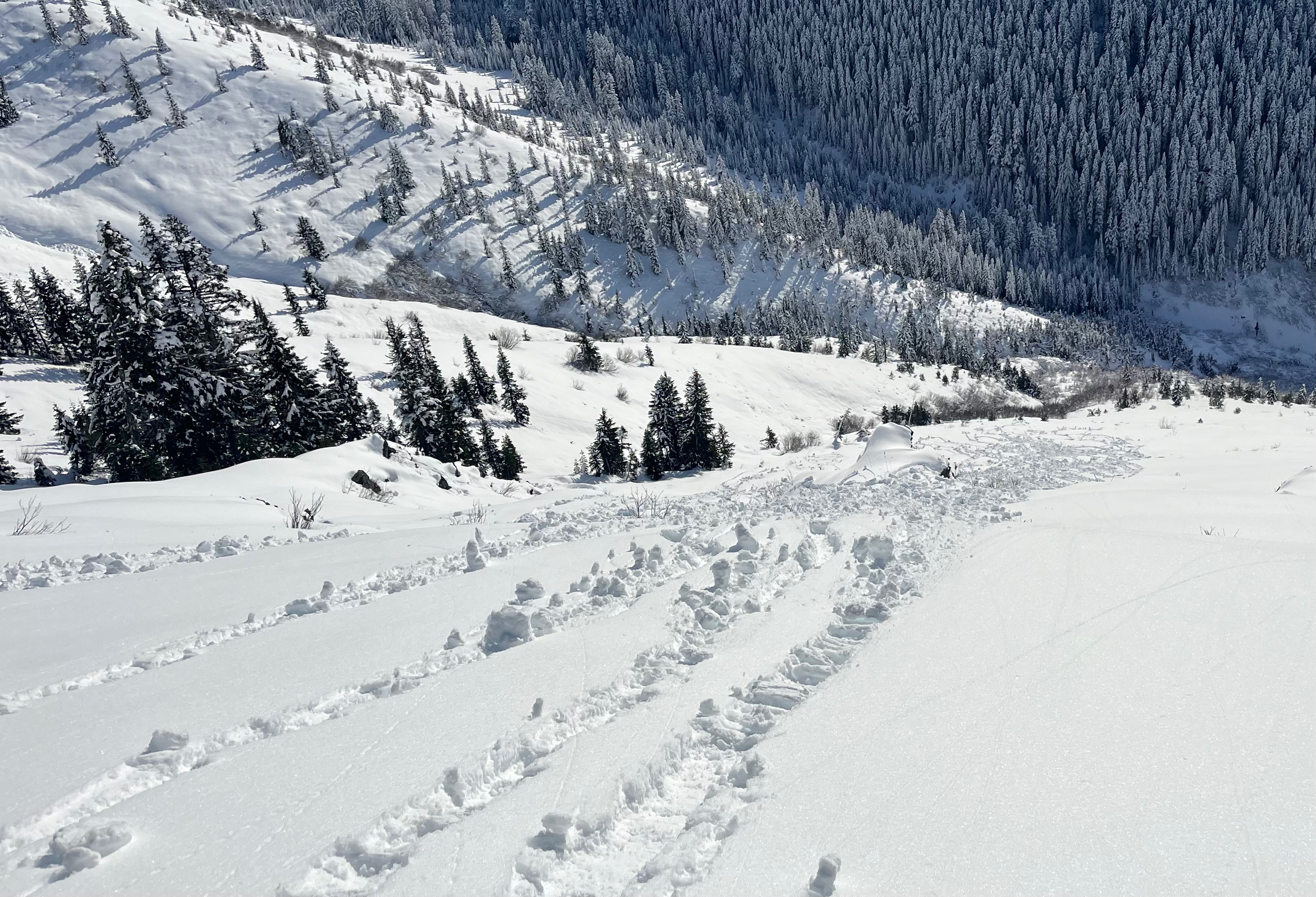
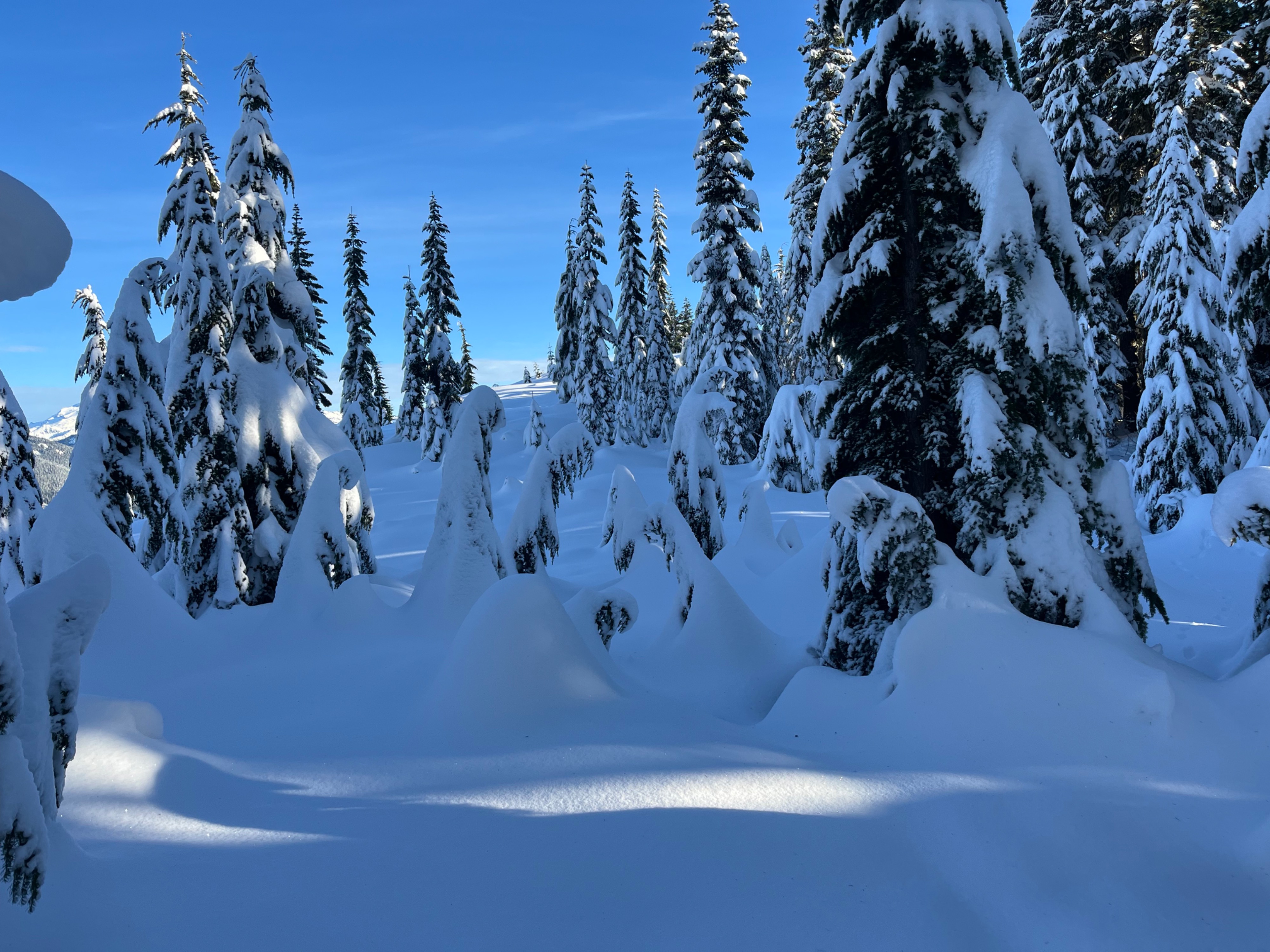
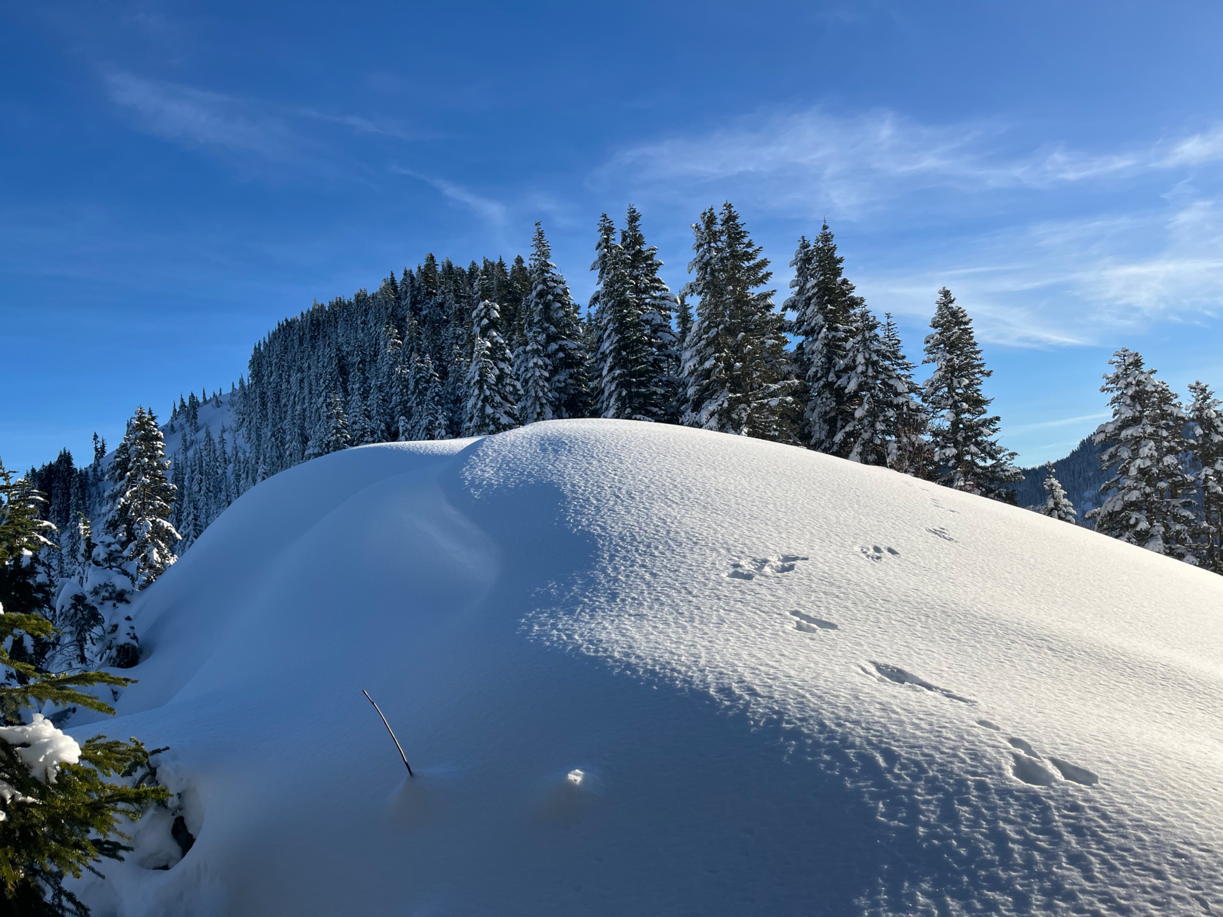
I was surprised by how few avalanches I saw from before, during and after the weekend's storm. Testing a steep north-facing slope didn't even produce any sluffing. Snow on shady aspects was dry and low density.
Weather
- Cloud Cover
- clear
- Wind Loading
- none
- Snow Avail For Transport
- moderate amounts
Hot in the sun, chillly in the shade. Increasing clouds from clear to high thin overcast in the afternoon.
Snowpack
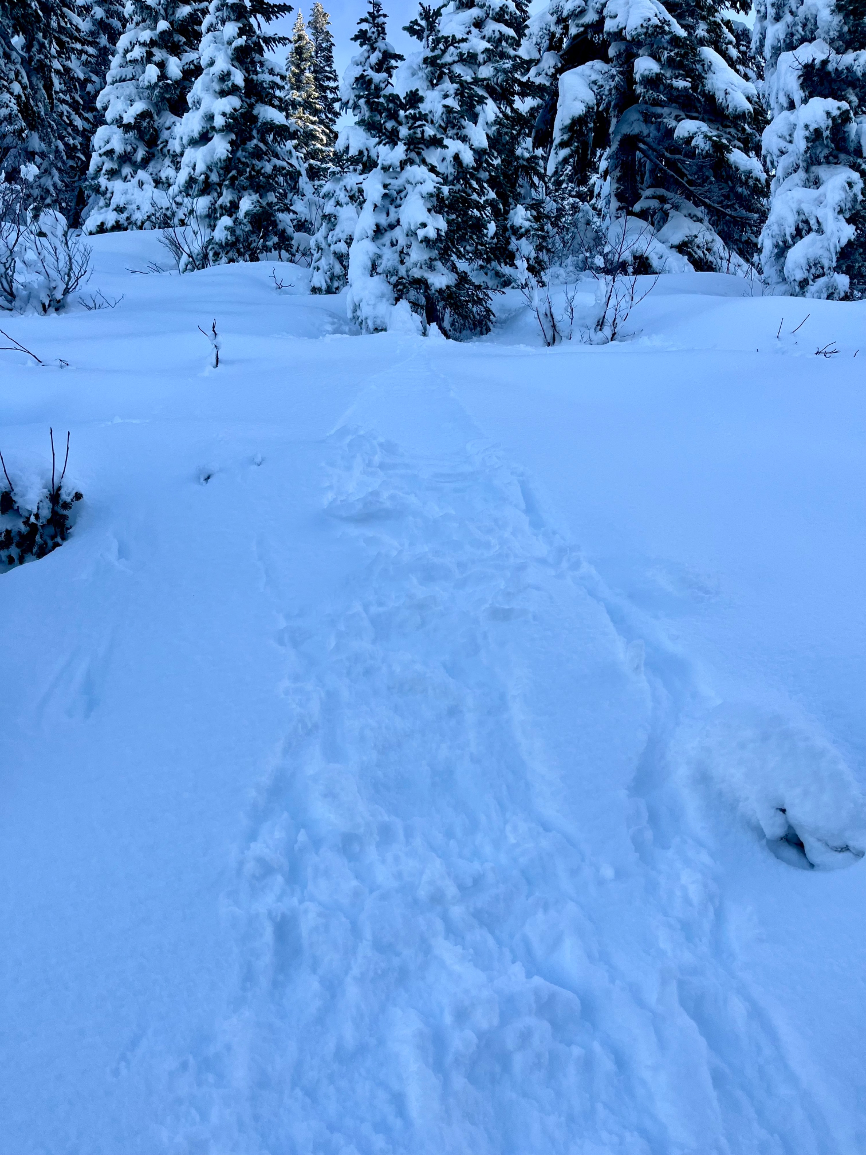
Snow was about 2 feet deep at 3500ft, and progressed to about 5ft at 4800ft. A melt freeze crust is underlying the foot+ of new snow that fell over the weekend, and moist snow exists beneath that, down to the ground. The storm snow is well bonded to the crust. Surface hoar is at the surface. Previous wind transport was minimal where I traveled. In a pit the only test results I saw were a planar failure midway down the new snow layer in a tilt test.
Shady aspects are holding onto a dry new snow layer, whereas, steep southerly slopes have a slightly shallower snowpack and a 2 inch soft crust had formed on the surface from the previous day's sun and warm weather.
Avalanche
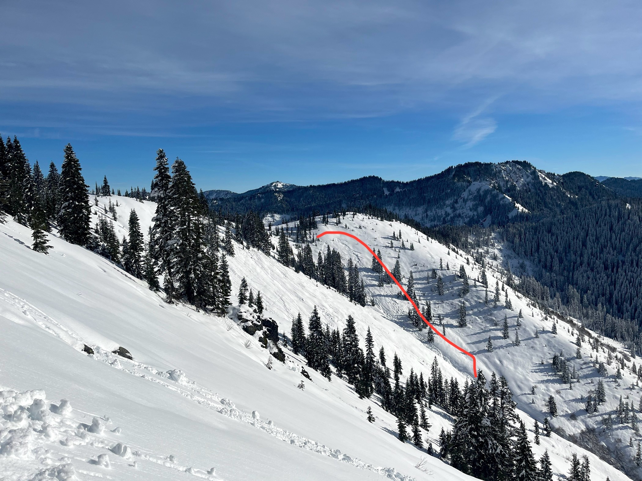
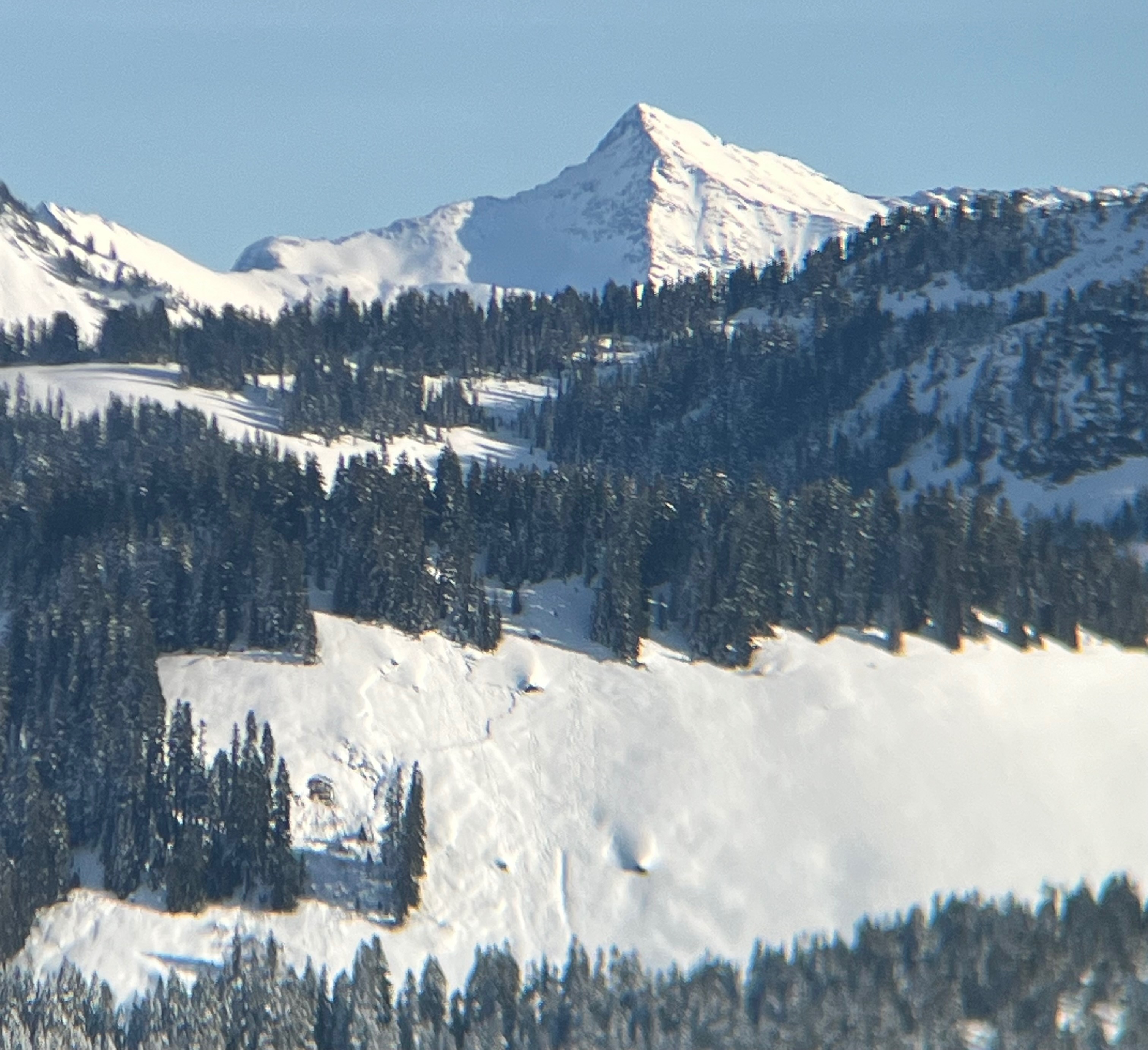
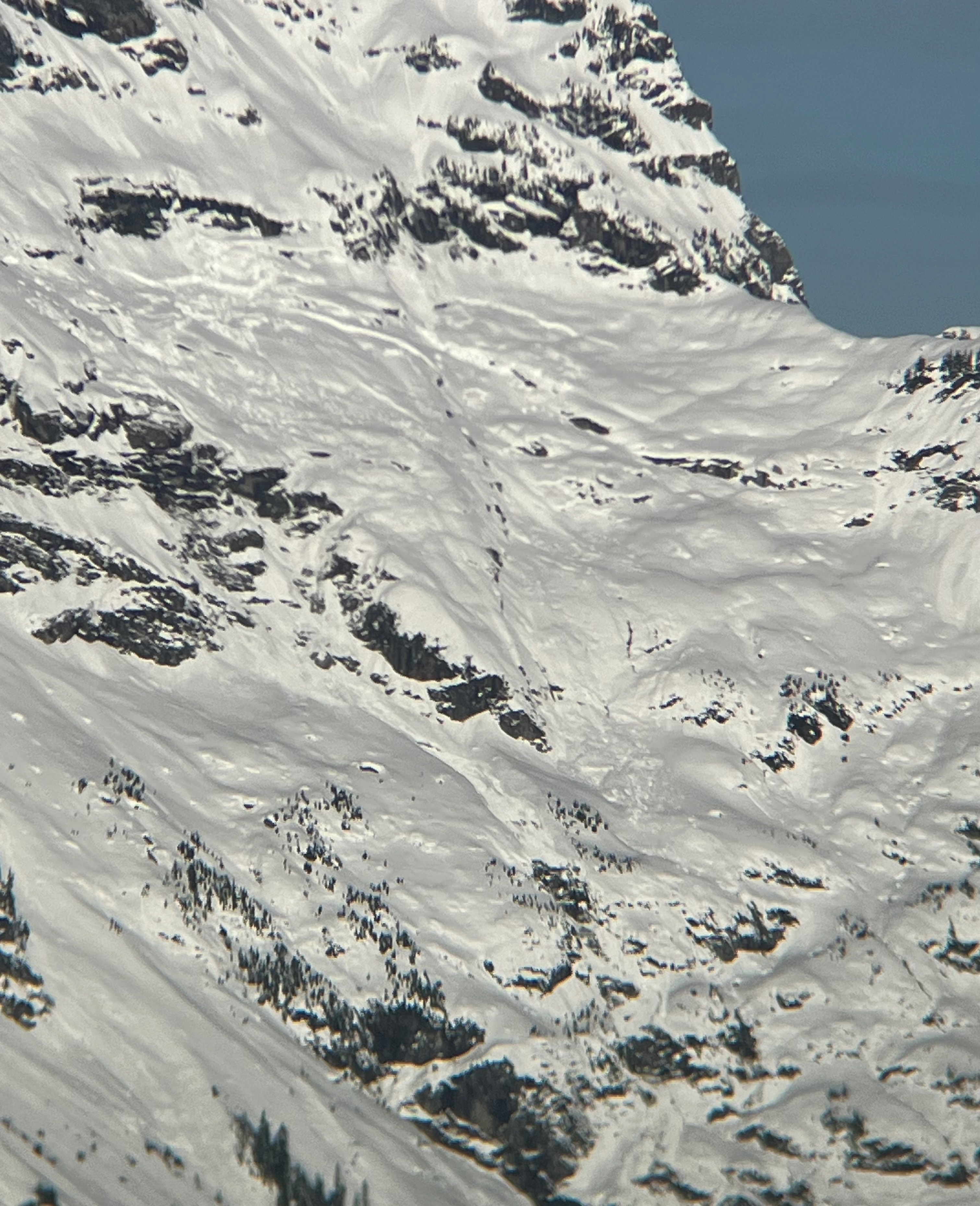
I searched for any signs of avalanches and even with great visibility, I only saw a few old glide avalanches. A few rollerballs were present from the previous day on steep, south-facing slopes, and I was only able to reproduce more of those today, although that was as I was leaving at 11am.