
Quick report
- Collapsing
- isolated
I experienced a handful of small, localized collapses that were failing on the 2/1 interface where it presented as an icy rain crust with facets on either side (see snowpack notes below).
Weather
- Wind Loading
- light
- Recent Snowfall
- 40-50cm
- Snow Avail For Transport
- large amounts
Low banks of clouds clinging to the mountains, gradually clearing through the day, with skies becoming completely clear by nightfall. 40-50cm HST(since start of storm on 2/14). Light winds with occasional moderate gusts out of the N-NW
Snowpack
The snowpack here can be broken up roughly into thirds. The upper third is the new snow that fell since 2/1. The middle third is the snow from January storms (sitting directly on the 1/6 interface). The lower third is weak snow that developed in December and older, remnant snow from earlier in the fall. Primary concerns in the snowpack are the upper pack weak layers (2/1 and 2/14), general new snow issues, and the widespread weak layer responsible for the deep persistent slab problem (1/6).
@ 6700' on SSE aspect
HS=120cm
2/1 down 50cm, presents as generic, icy MFcr stack, returned ECTN scores with hard force
2/14 down 30cm returned ECTN scores with easy to moderate force
@7100' on N aspect
HS=150-160cm
2/1 down 50 down 55cm, presents as a true rain crust (IFrc) with facets on either side, returned ECTP 2, ECTP 10, and ECTP 13 under a slab that grades from F- to 4F-
I stopped to dig this pit after triggering several small collapses.
@7800' on NNE aspect
HS=190-200cm
1/6 down 110-120cm. This weak layer has gained a lot of strength, but there is still a serious density/hardness change across this interface (P+ slab with 1F- snow underneath). I don't think this problem should be written off entirely yet, you'd be mostly likely to have issues with it in steep, rocky, peppery alpine terrain where there is better access to the weak layer and triggering is more likely.
2/1 down 65cm, presents as a true rain crust (IFrc) with facets on either side, produced ECTNs in the low teens
2/14 down 45cm
This zone received an above-average amount of wind in the last day or so, with obvious wind textures extending well down into middle elevations in many locations. The slabs I encountered were pretty stubborn, but you could definitely get into trouble in areas where wind loading/wind stiffening in the upper snow is accompanied by better-developed weak snow at the 2/1 interface. Importantly, this interface wasn't really tested during the previous storm, due to the meager snow totals in the Banner Summit area. This storm/loading event represents the first major load for this interface here and in the northern portion of the Sawtooths.
Avalanche
- Size
- D2
- Count
- 2
- Aspect
- NW
- Trigger
- N
- Elevation
- 7500 ft
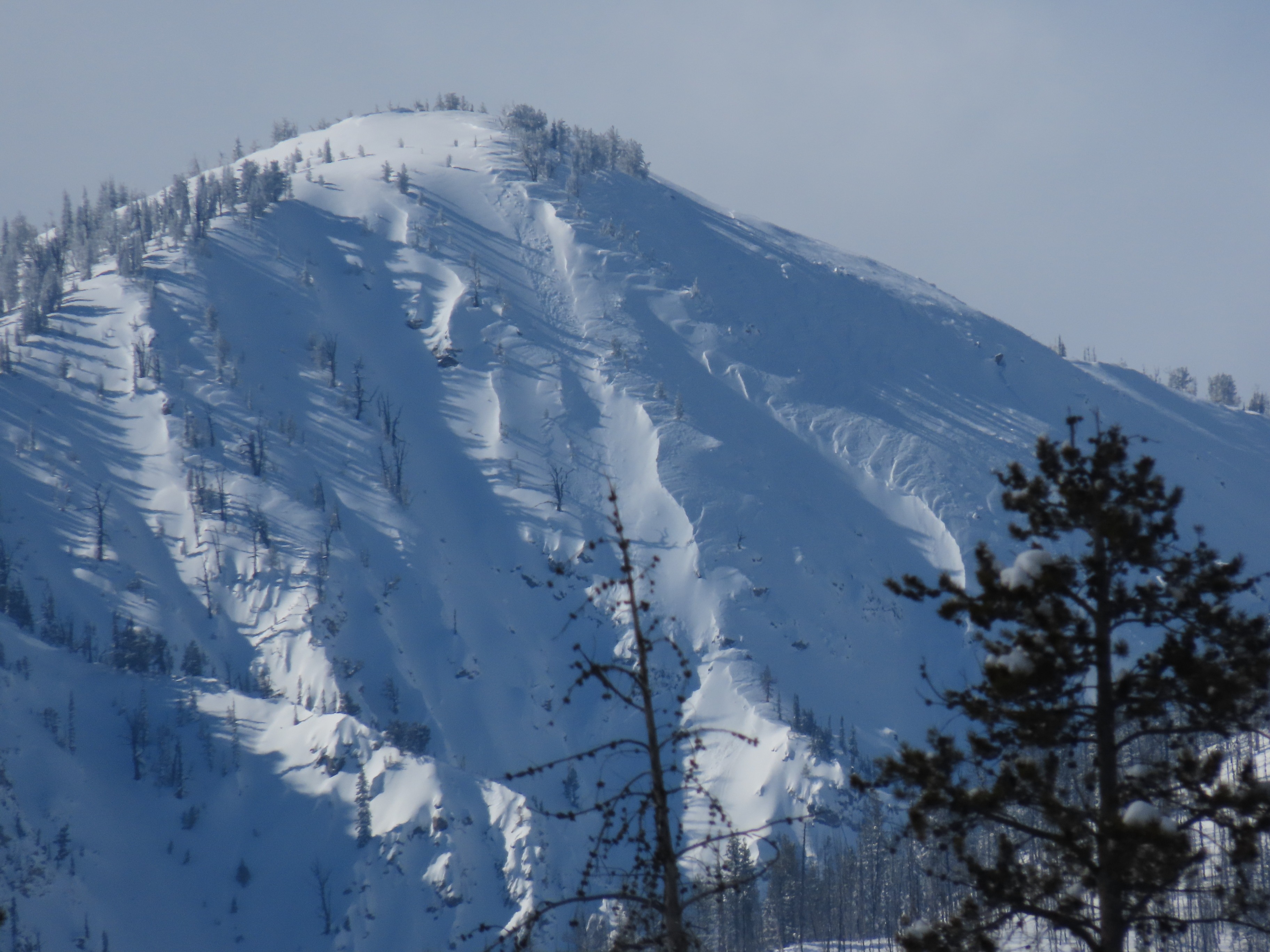
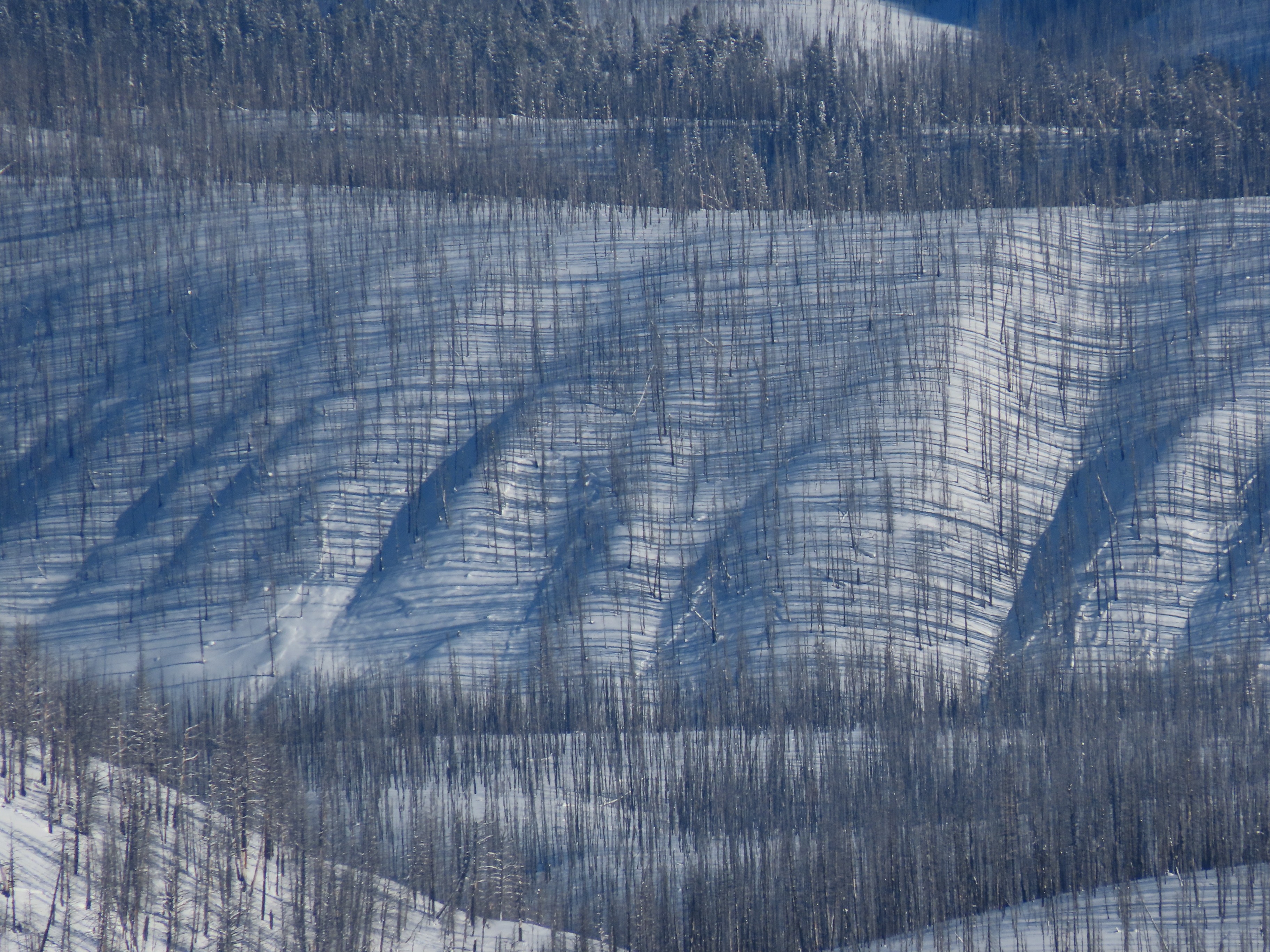
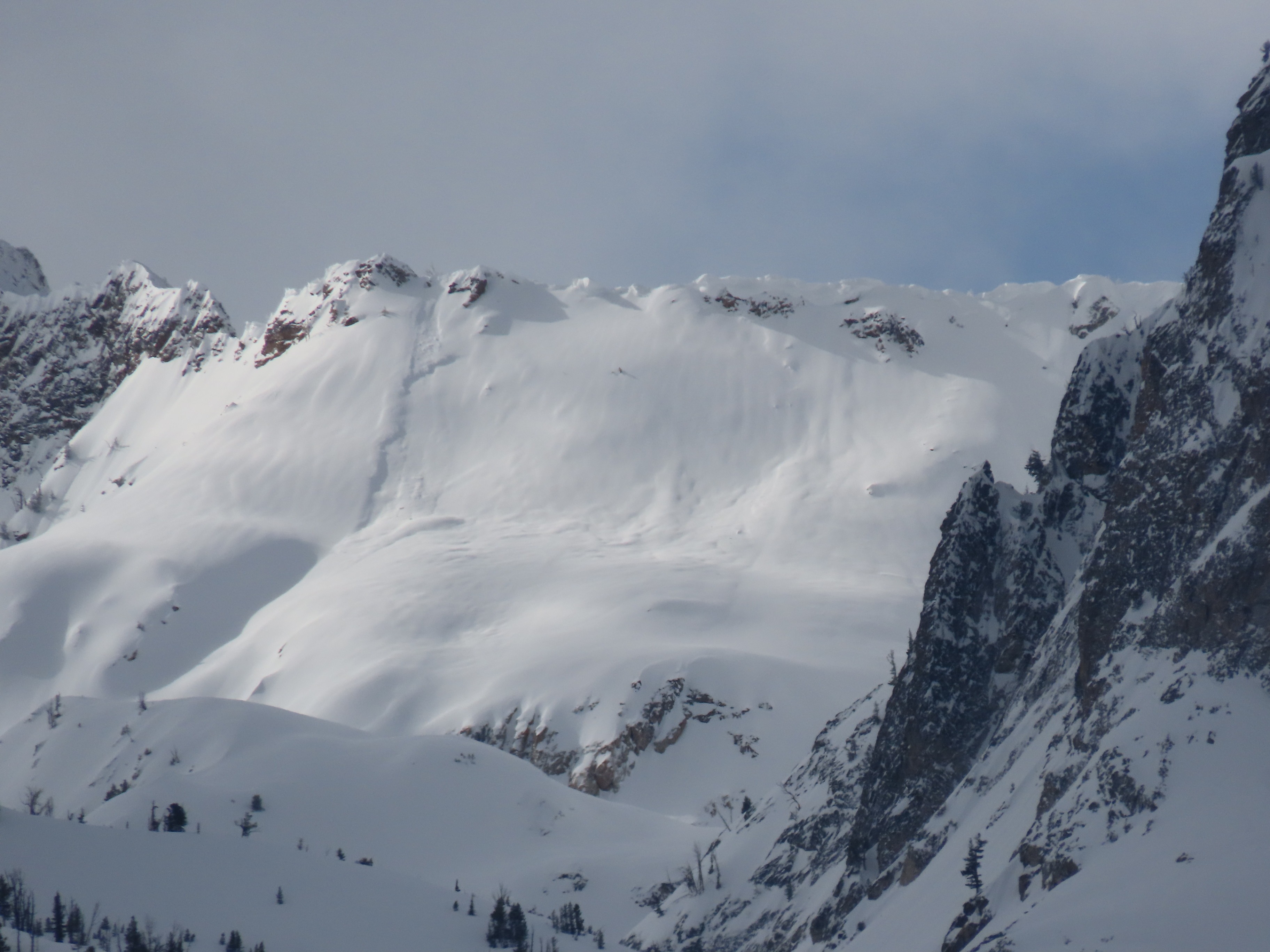
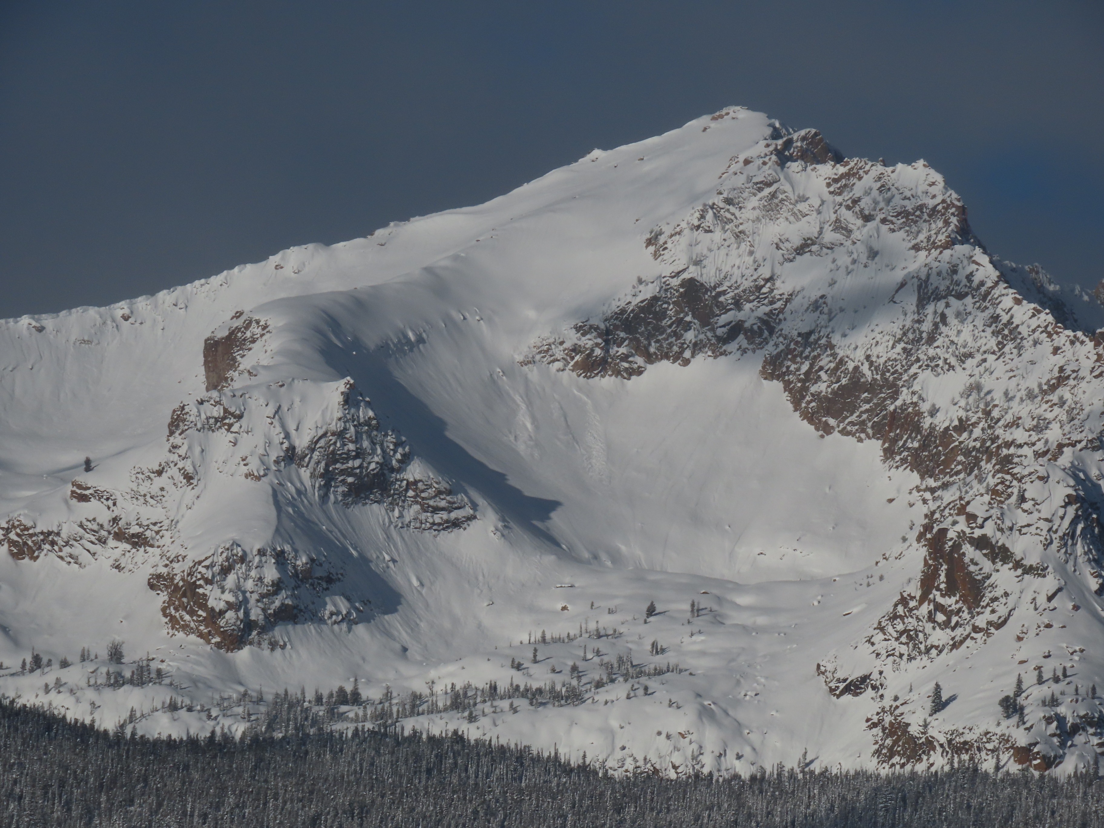
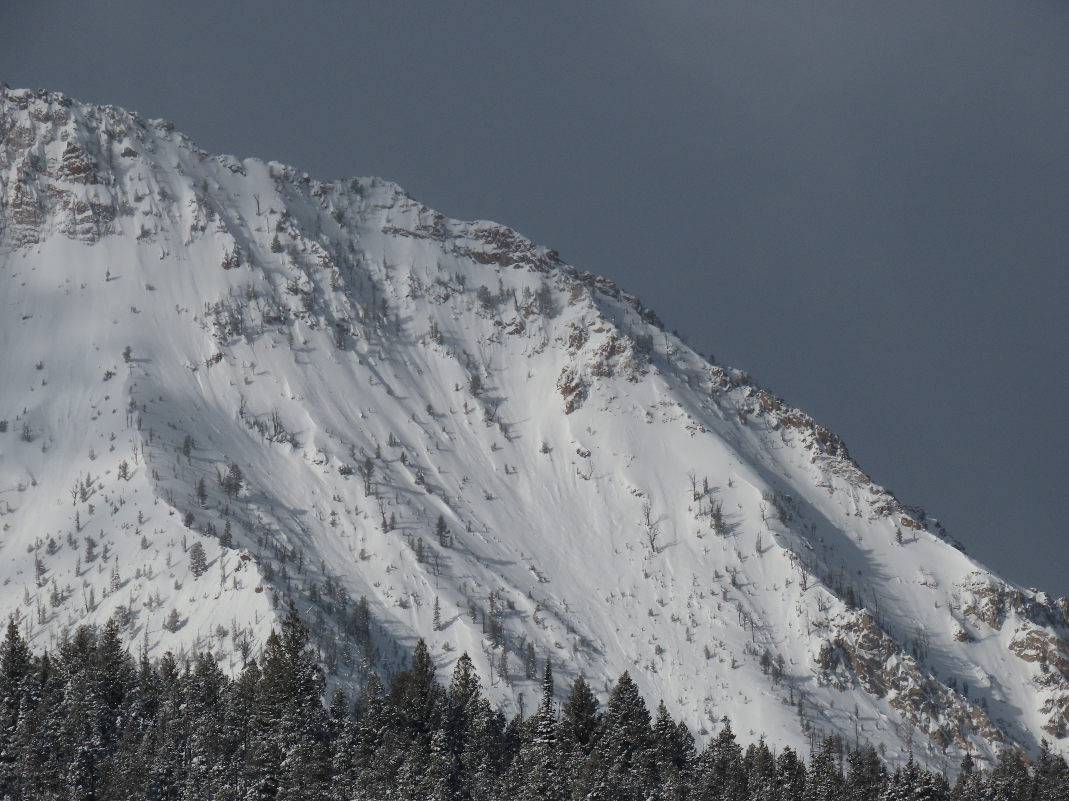
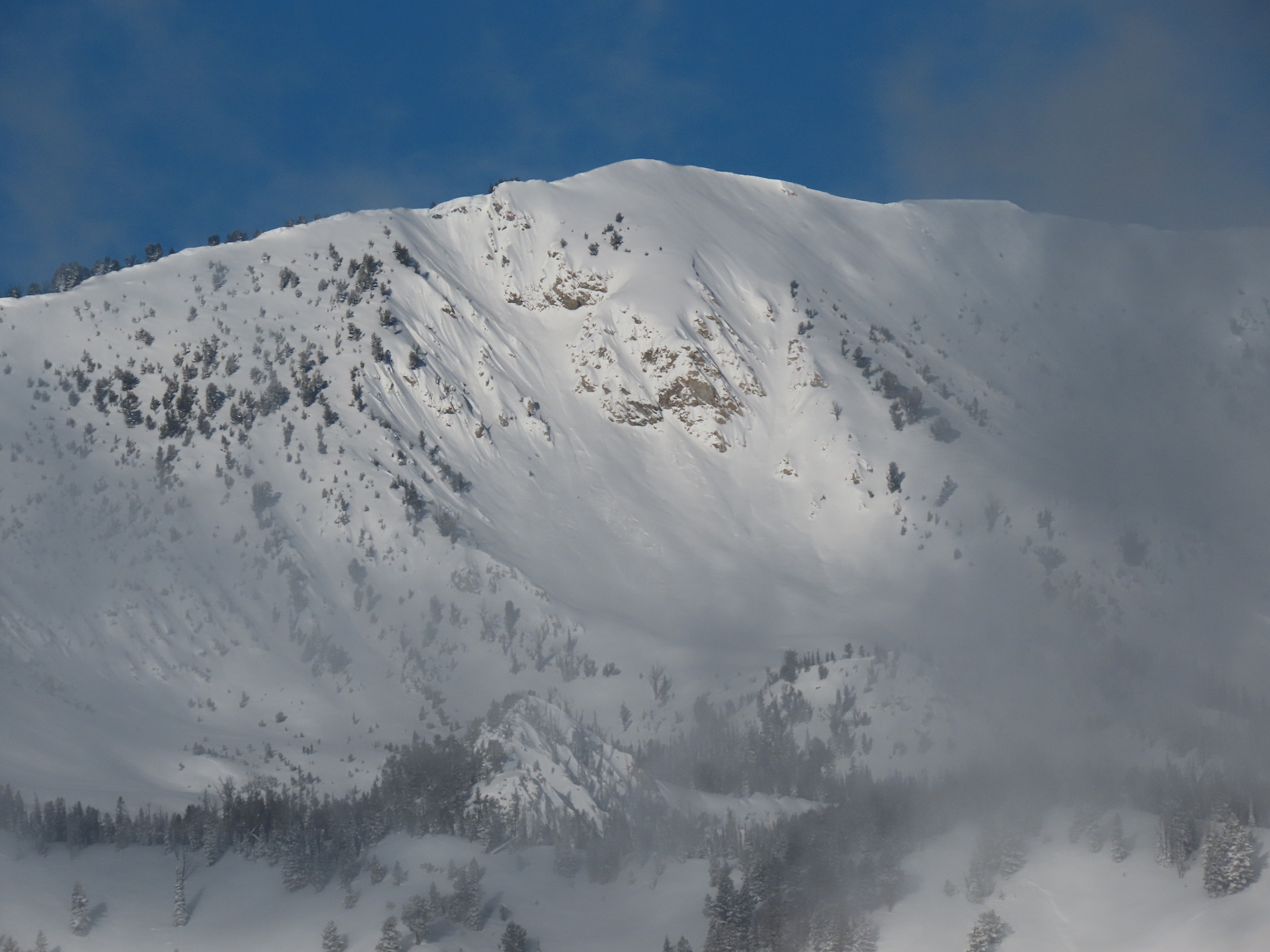
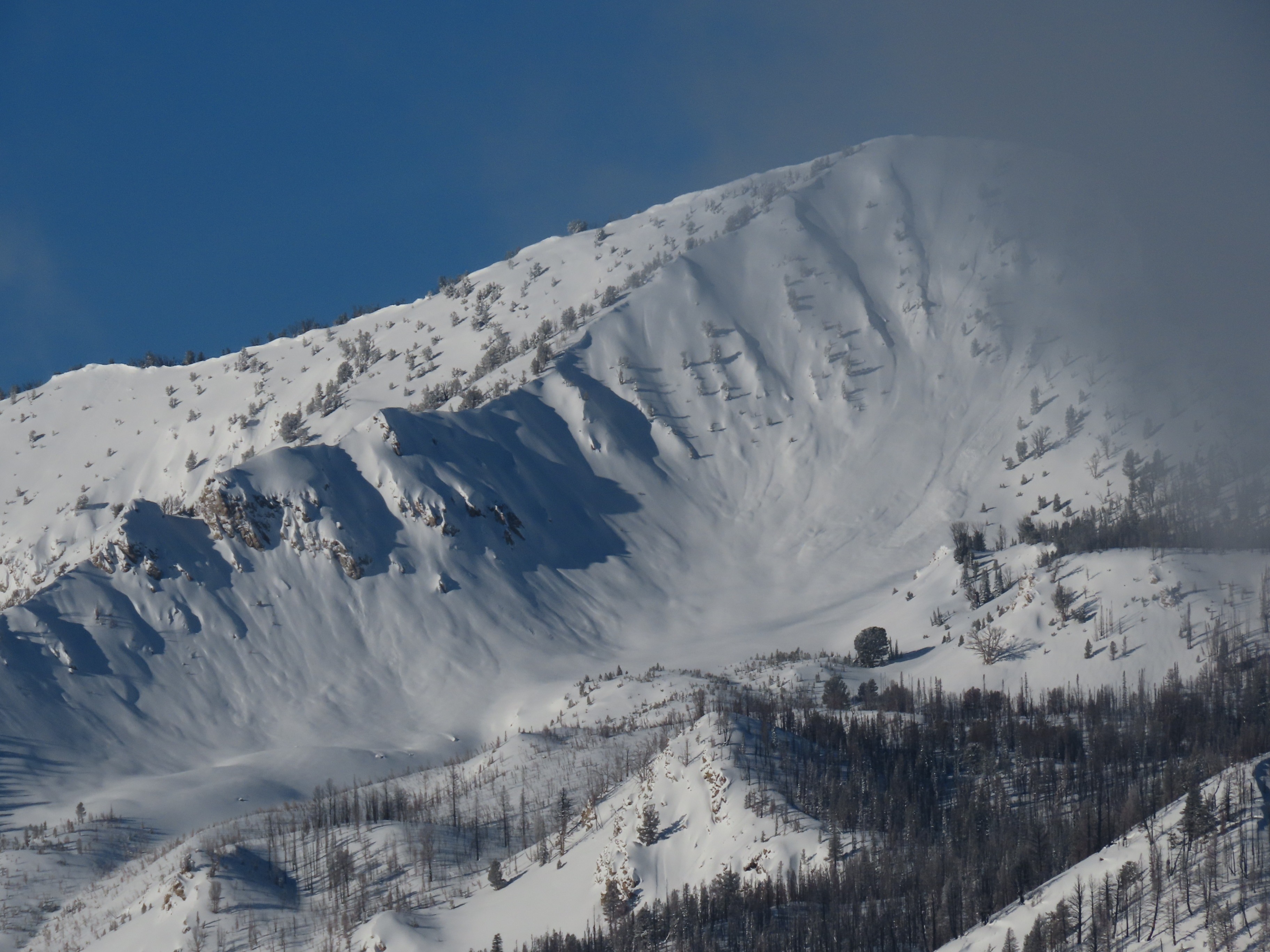
I glassed from Smiley up the Banner, observing frequent piles of debris from avalanches that failed during the most recent storm. In most cases, the source of this debris wasn't immediately apparent, but there must have been many soft slabs and sluffs that ran during the storm. The few crowns I saw were crisp and clean, indicating the potential involvement of a more persistent weak layer either at the base of the new snow (2/14 interface) or the base of the storms beginning in February (2/1 interface). I also observed some persistent slabs in middle elevation terrain in the Banner Summit zone. The timing is unclear, but these may be the most recently observed large slabs we've seen in this zone? Photos in the media gallery below.