
Quick report
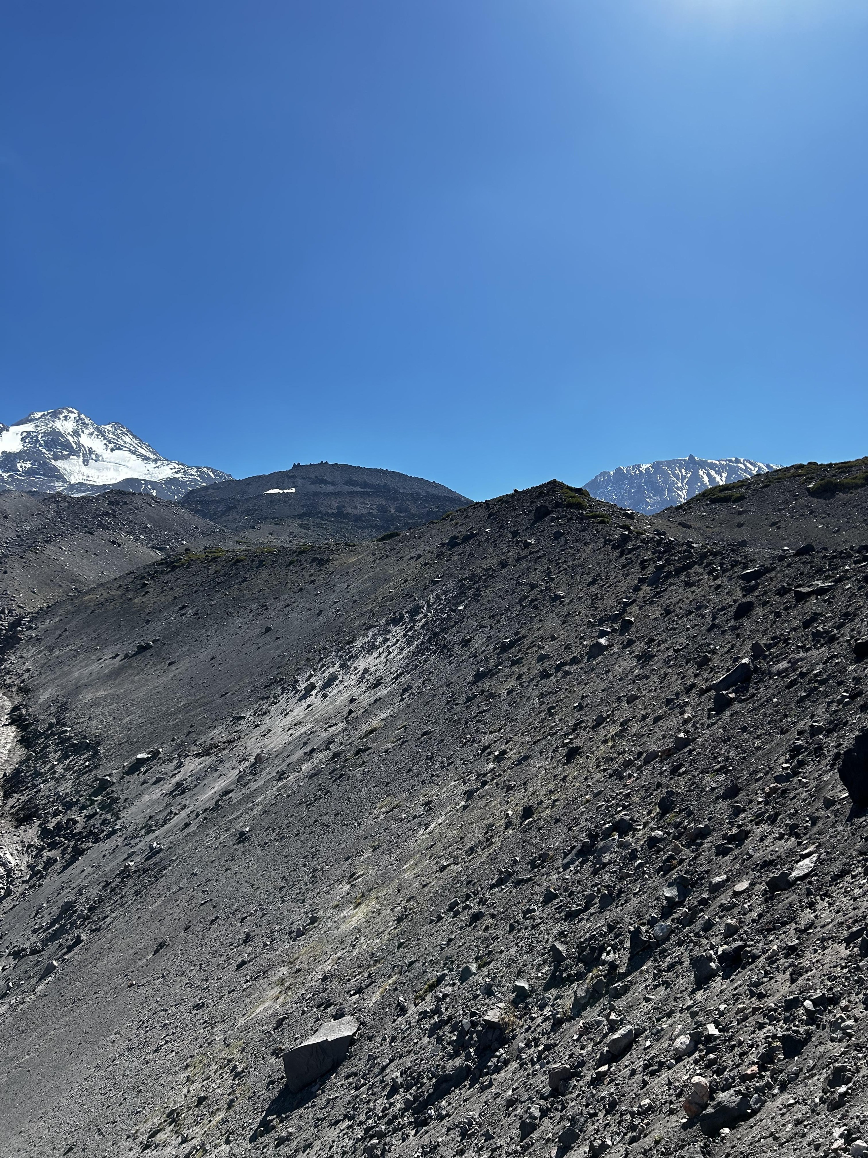
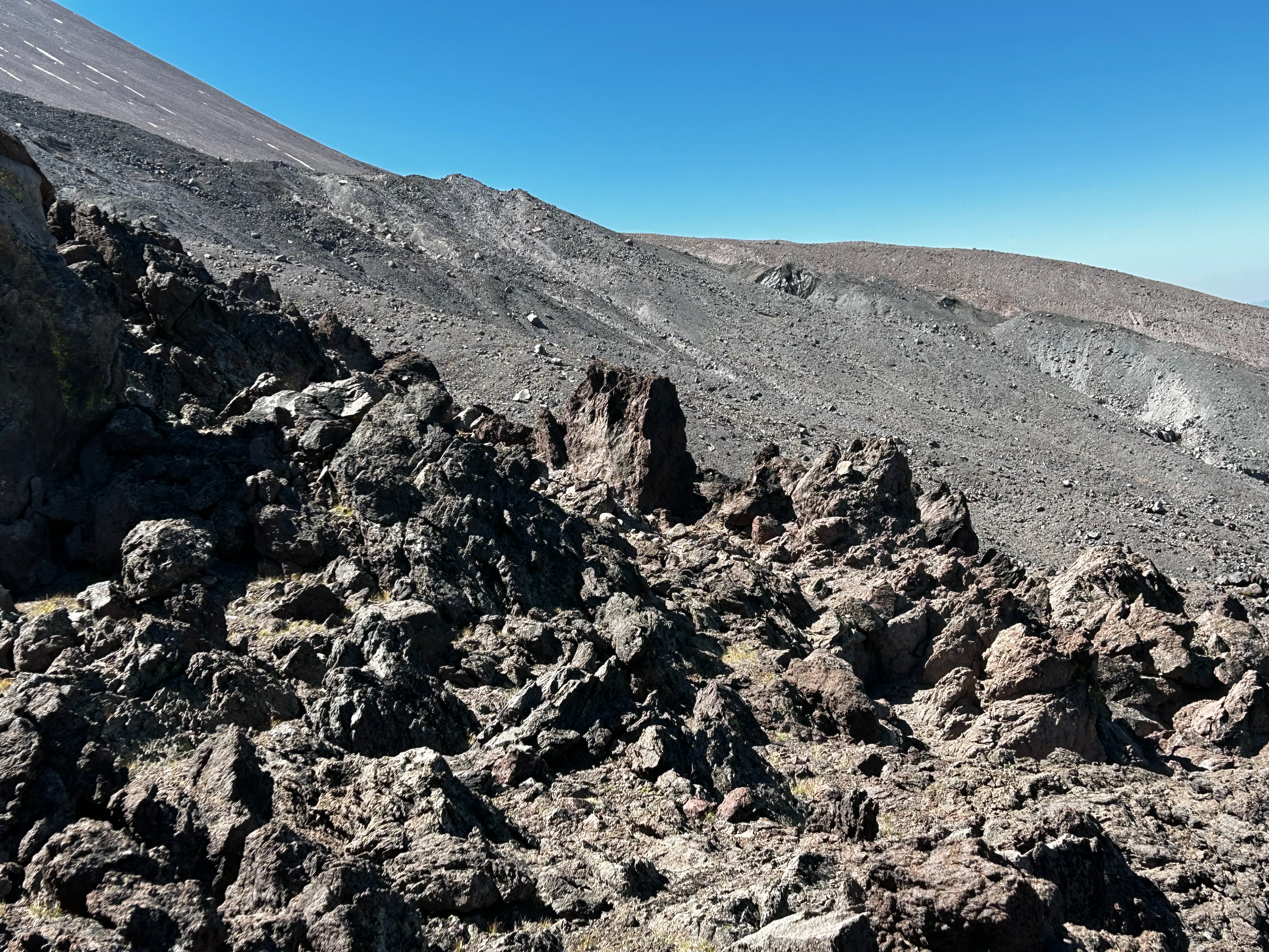
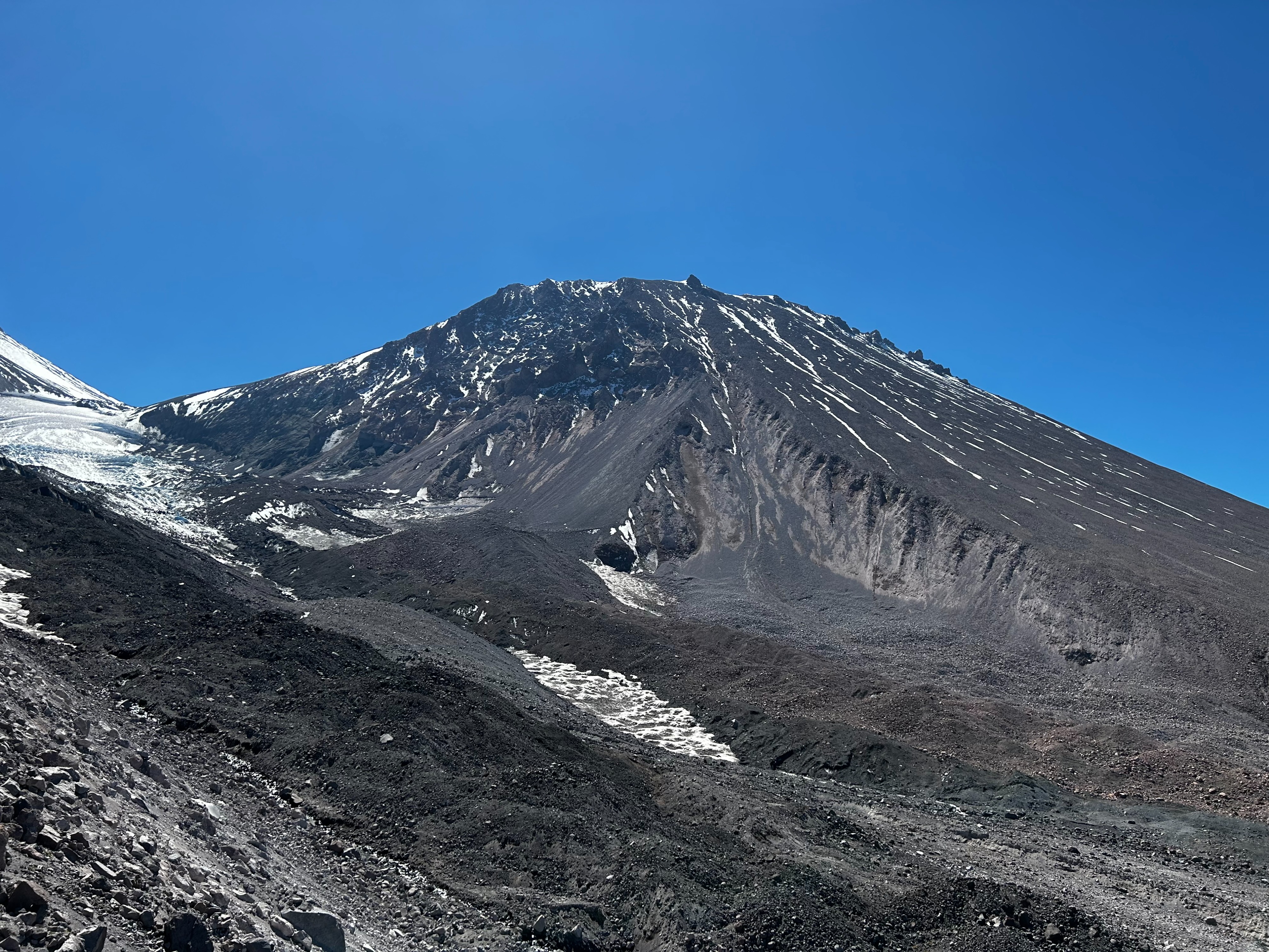
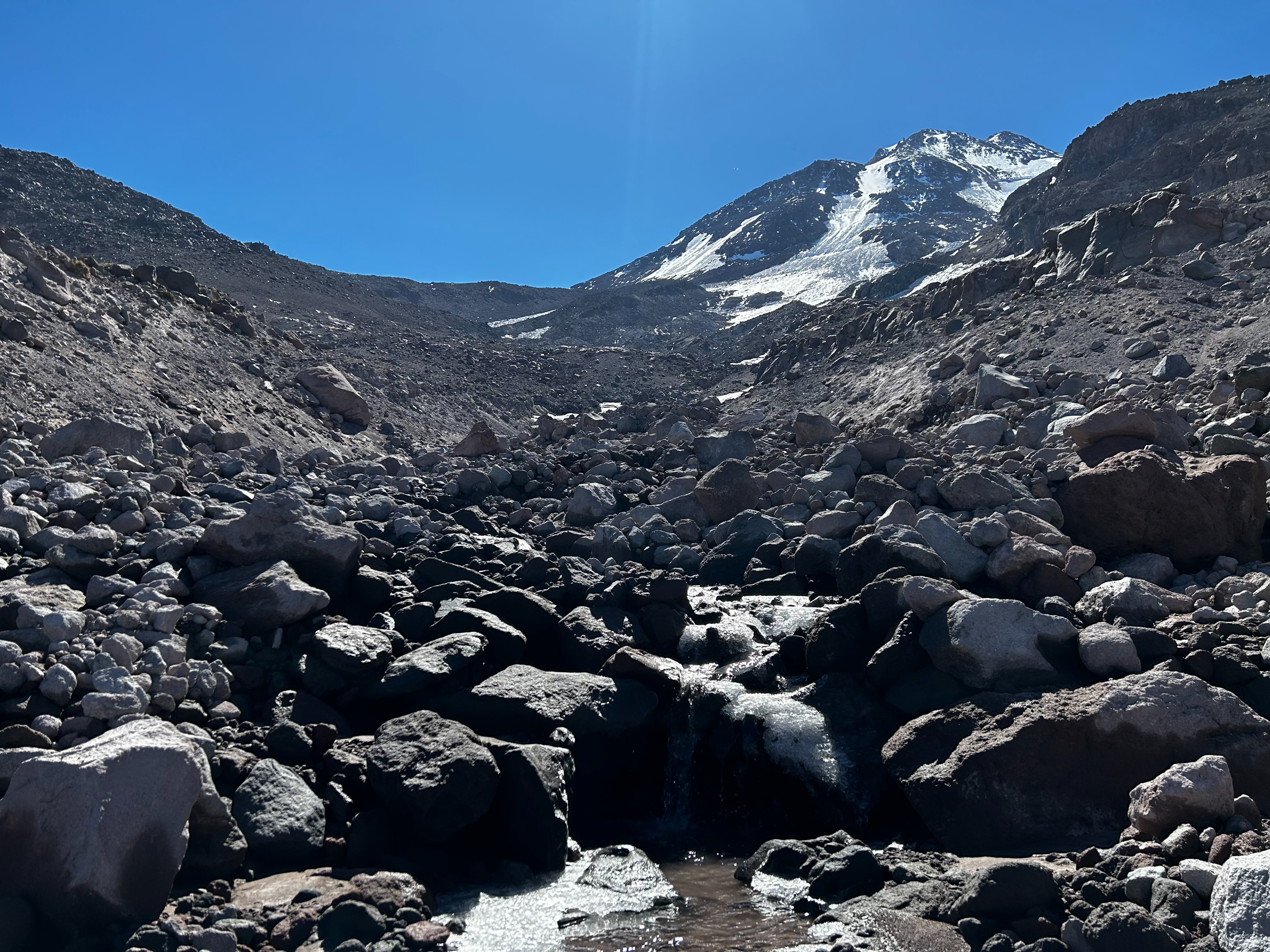
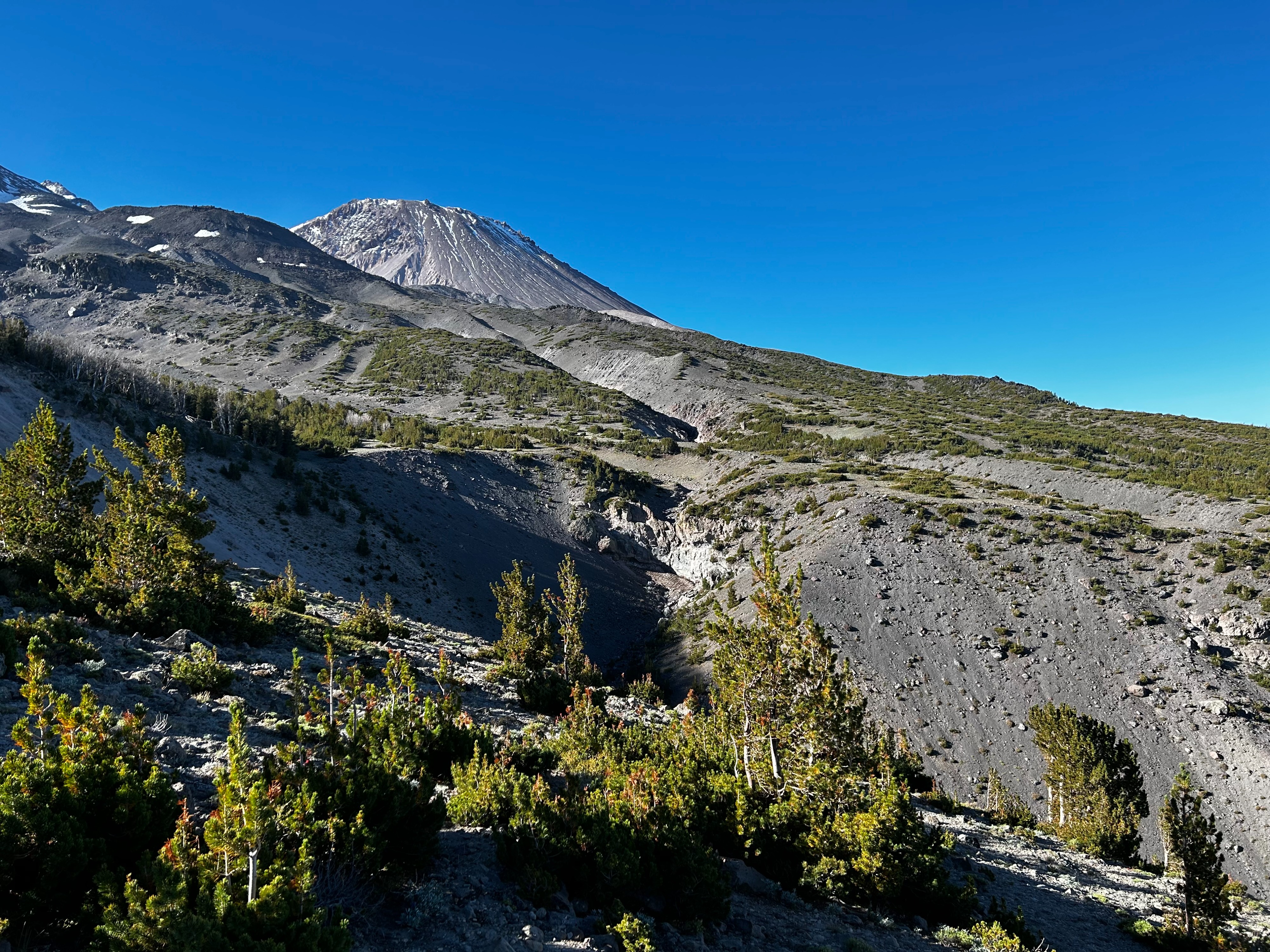
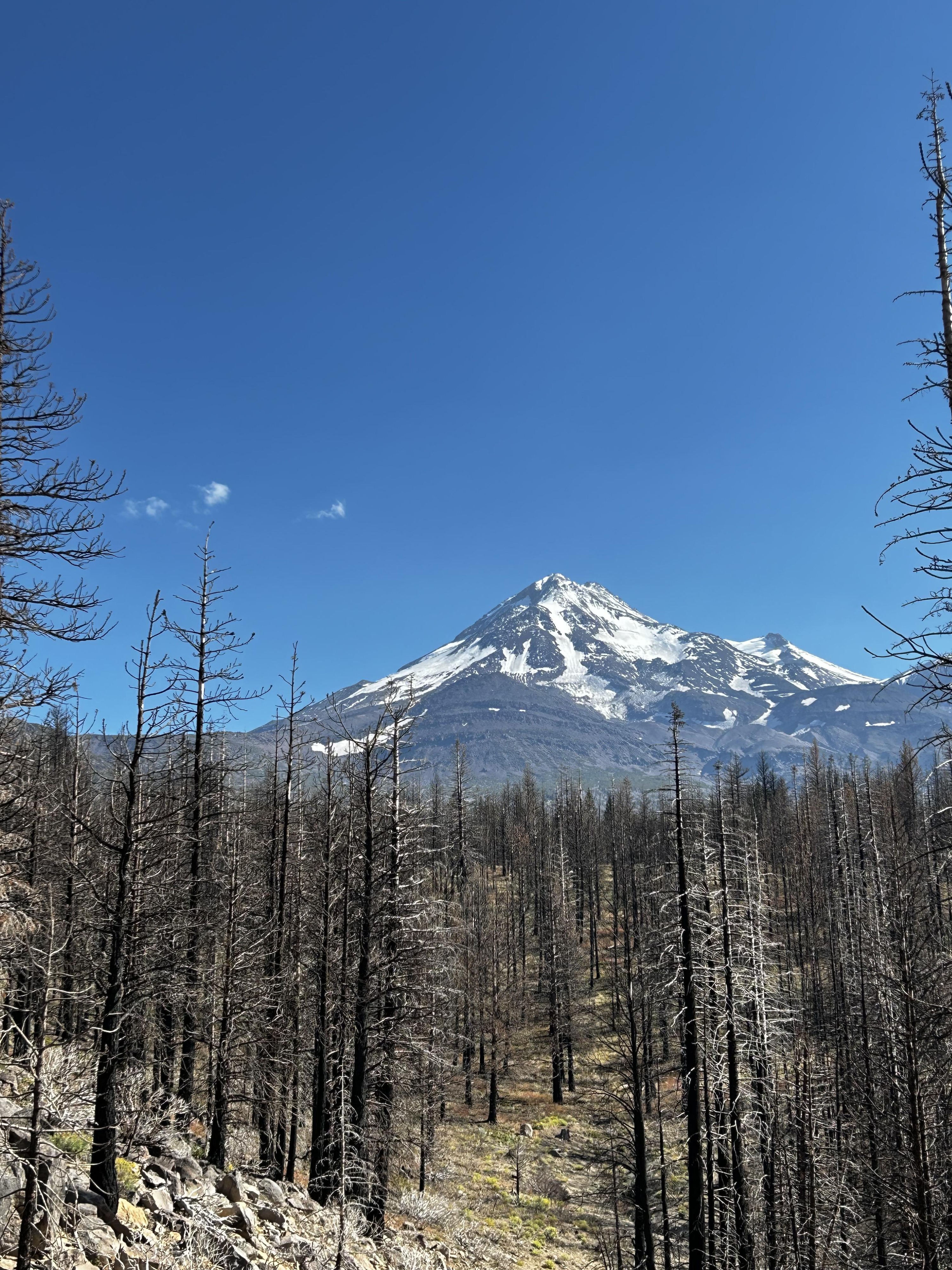
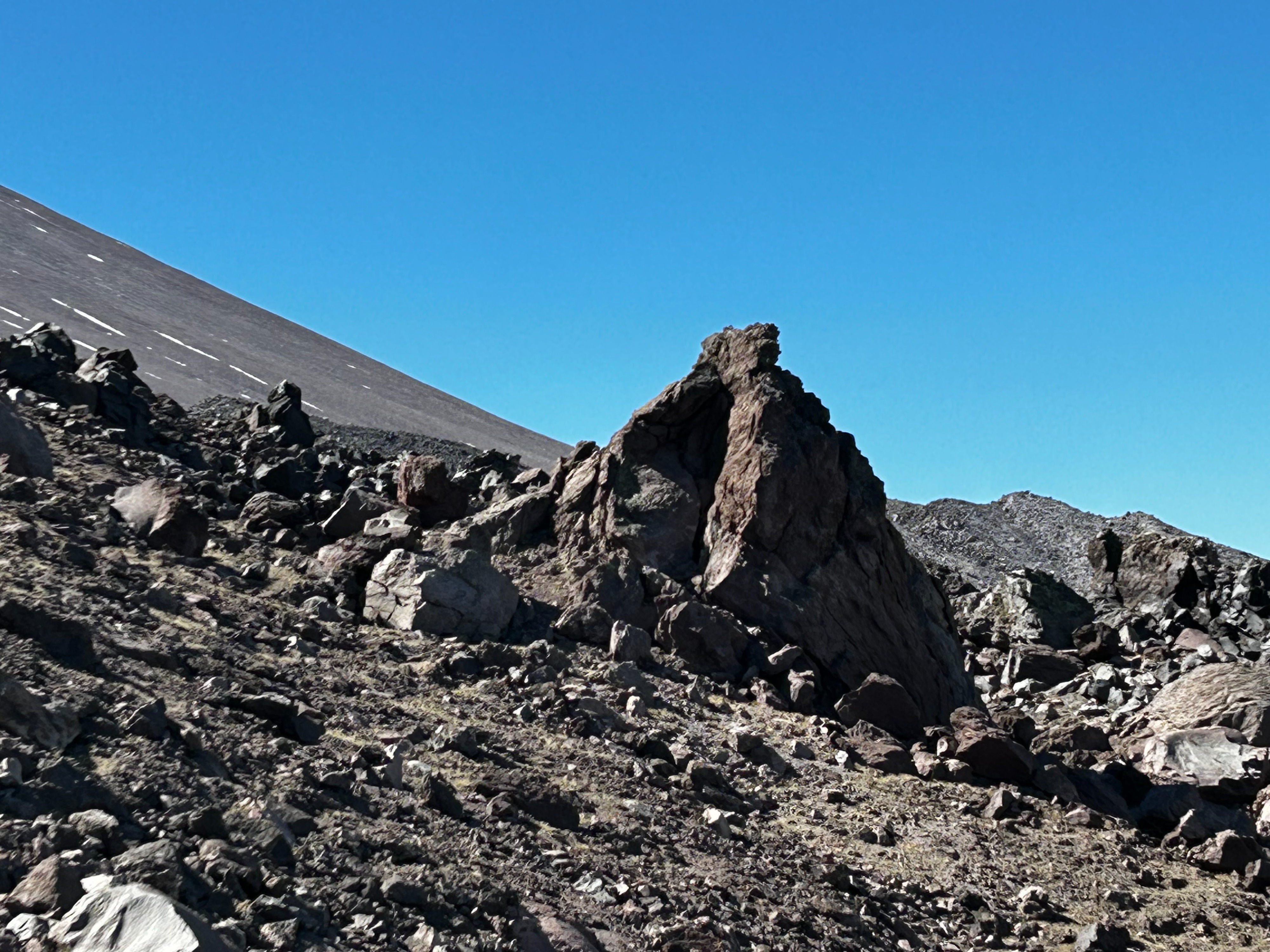
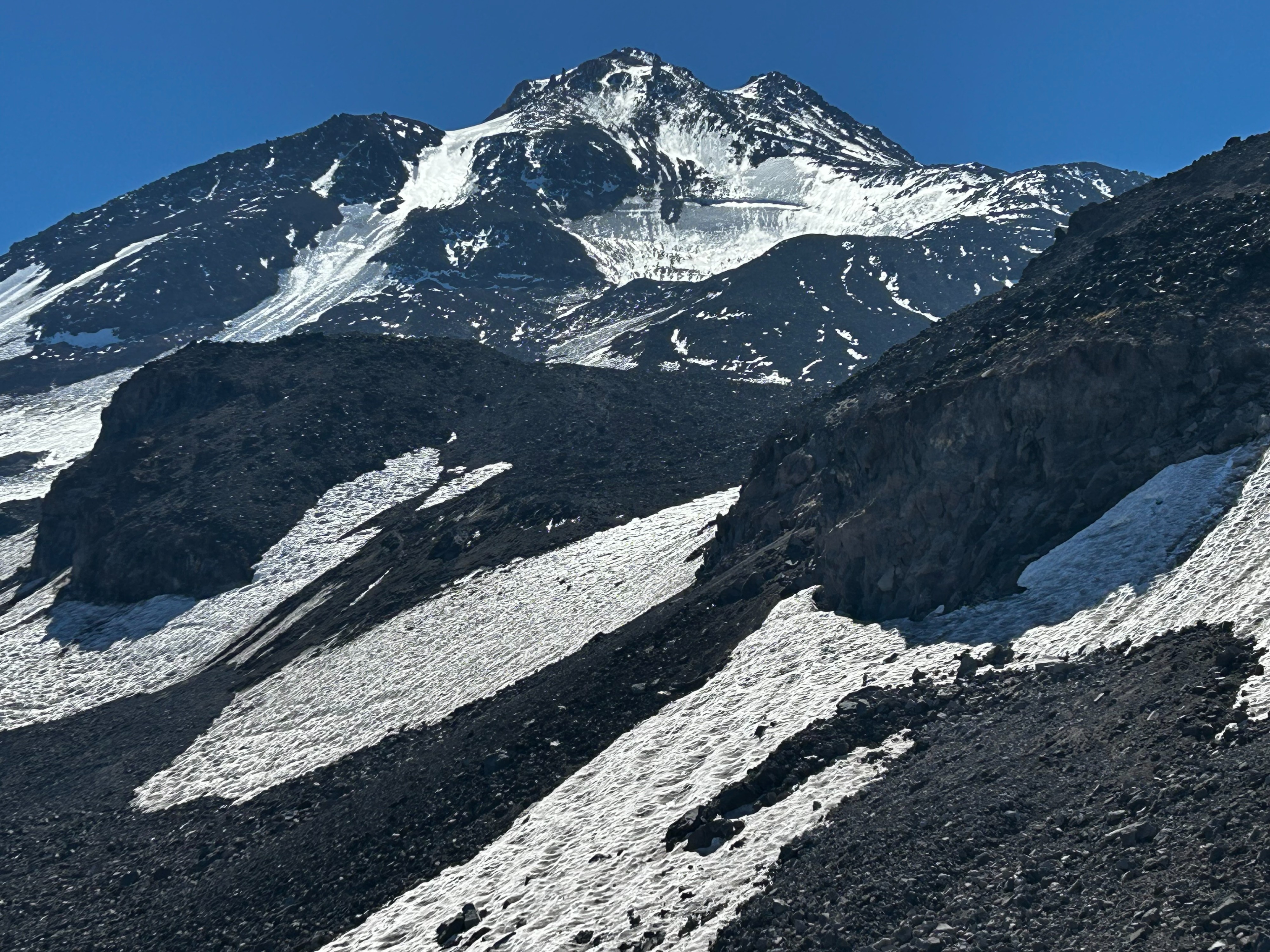
On 09.11.2023 a full day was spent on the north side of Mount Shasta exploring and photographing the Bolam and Whitney glaciers. Approaching from the Coquette Falls Rd, foot travel from the Wilderness boundary to the base of the lava fields was easy and direct. Once above treeline and on rock, travel became more dynamic and route selection more critical. Three main terrain types were experienced: sand, loose scree, and talus. These would transition suddenly with the changing geologic landscape making for both fast and slow travel. Stepping upon or dislodging a loose rock onto body or limb is a constant risk. Slow is smooth and smooth is fast. Fair temperatures and a light breeze made for a splitter blue bird day.
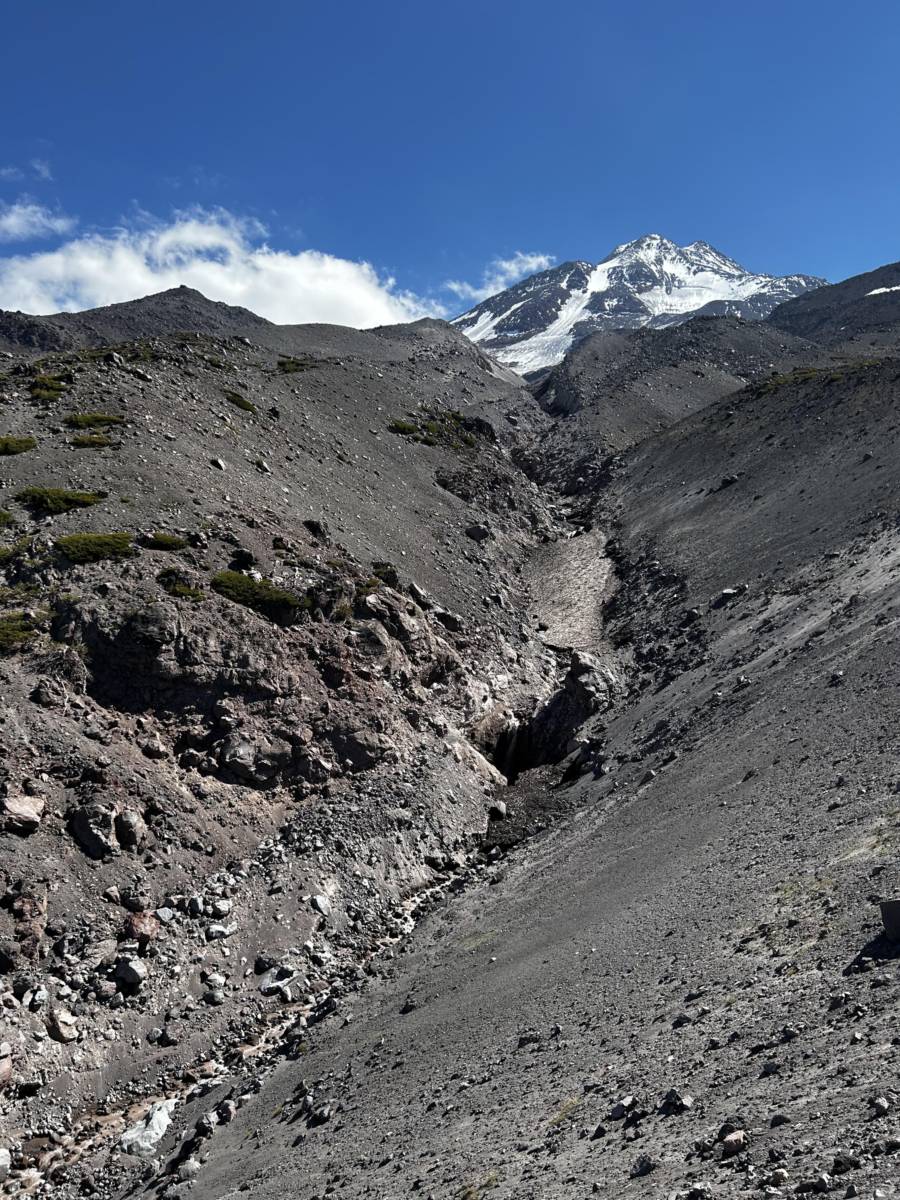
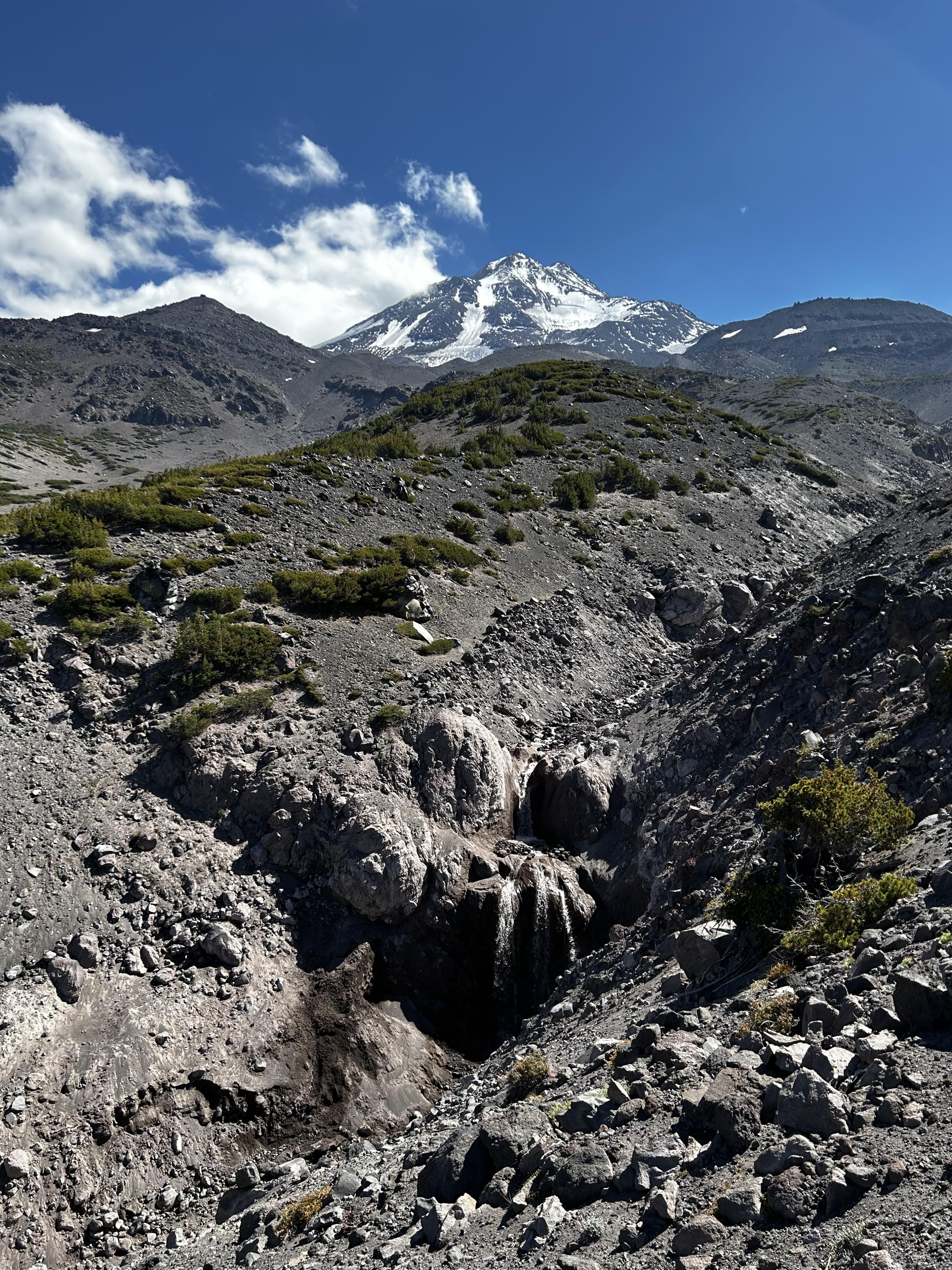
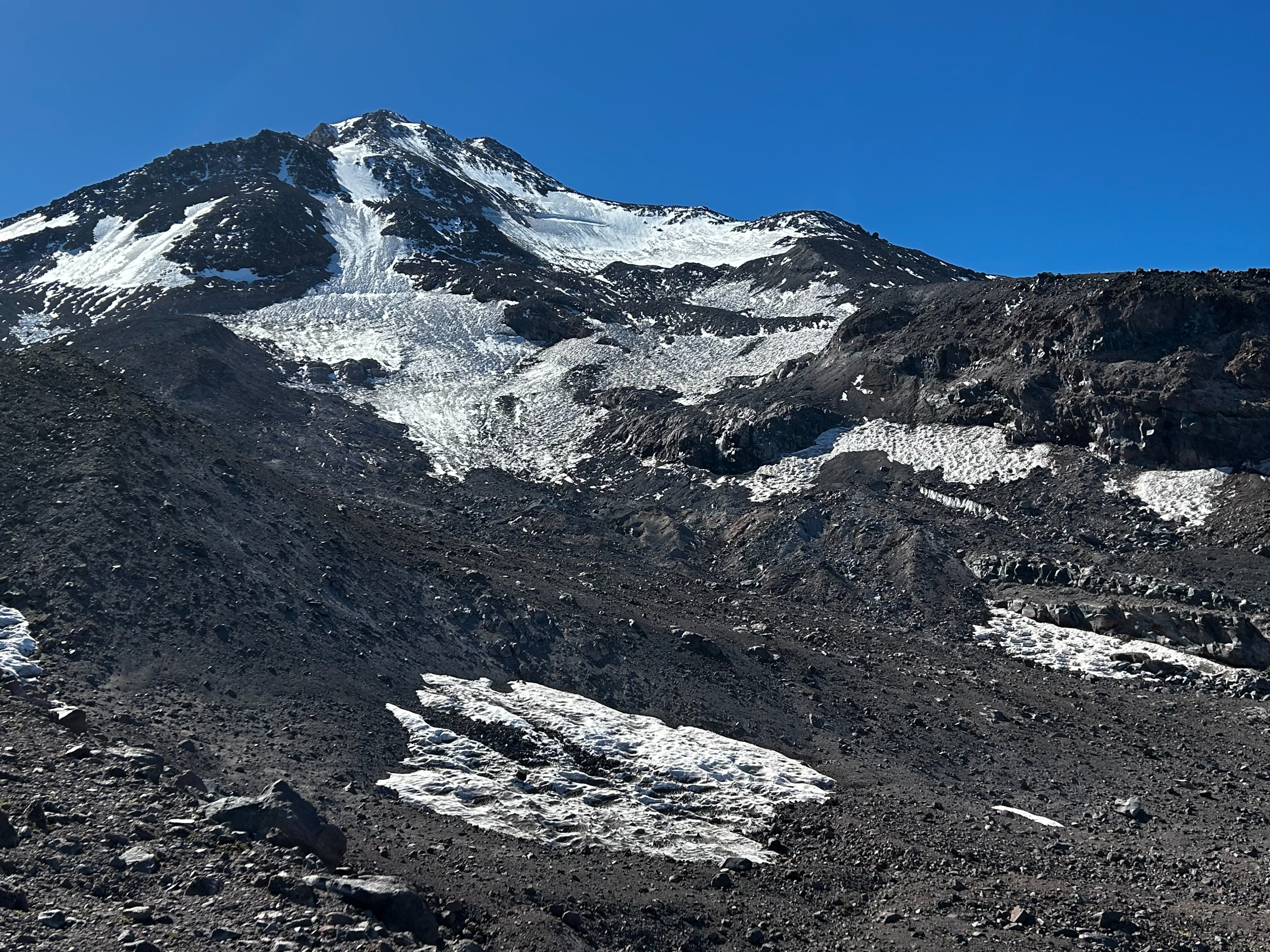
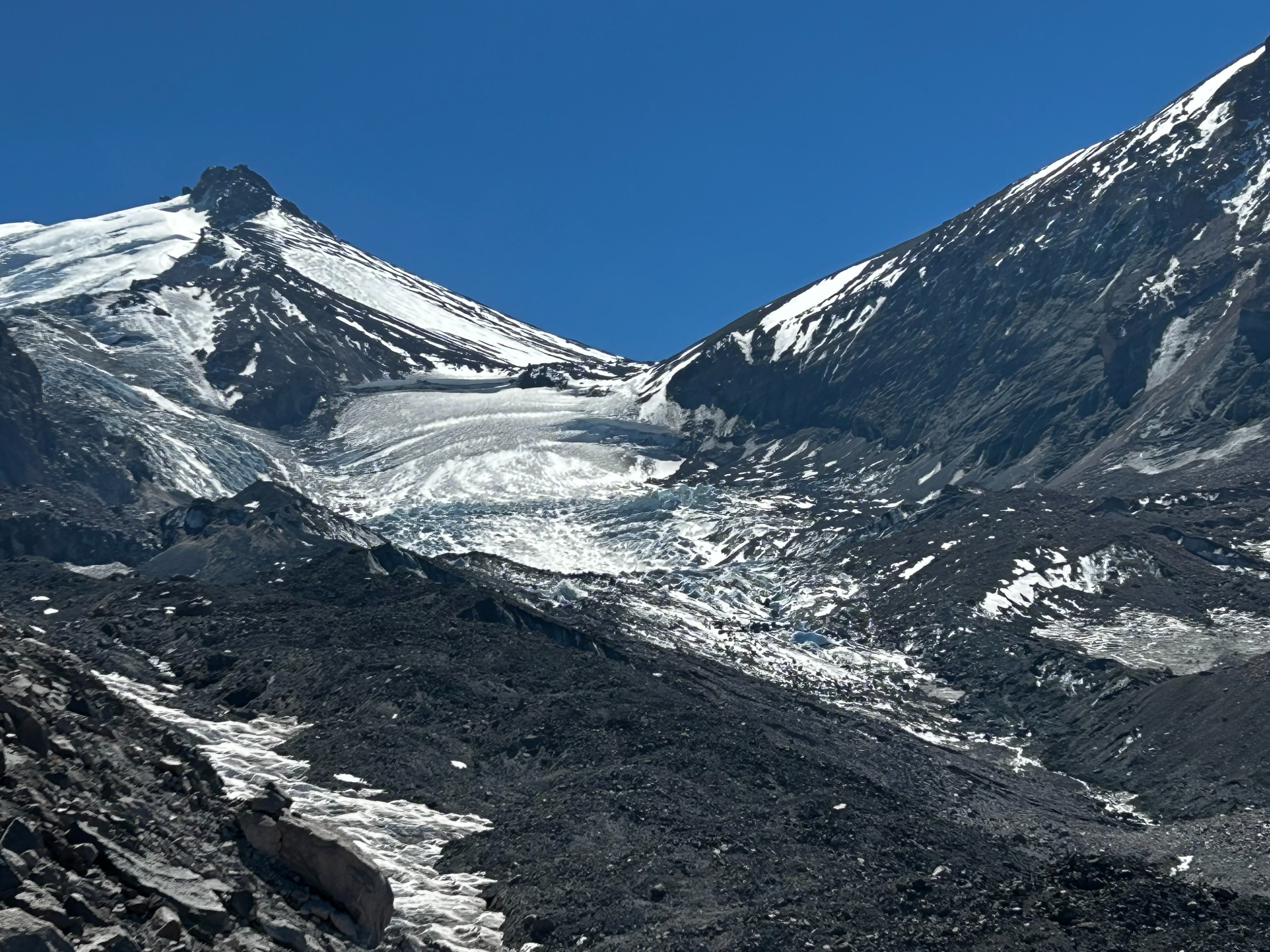
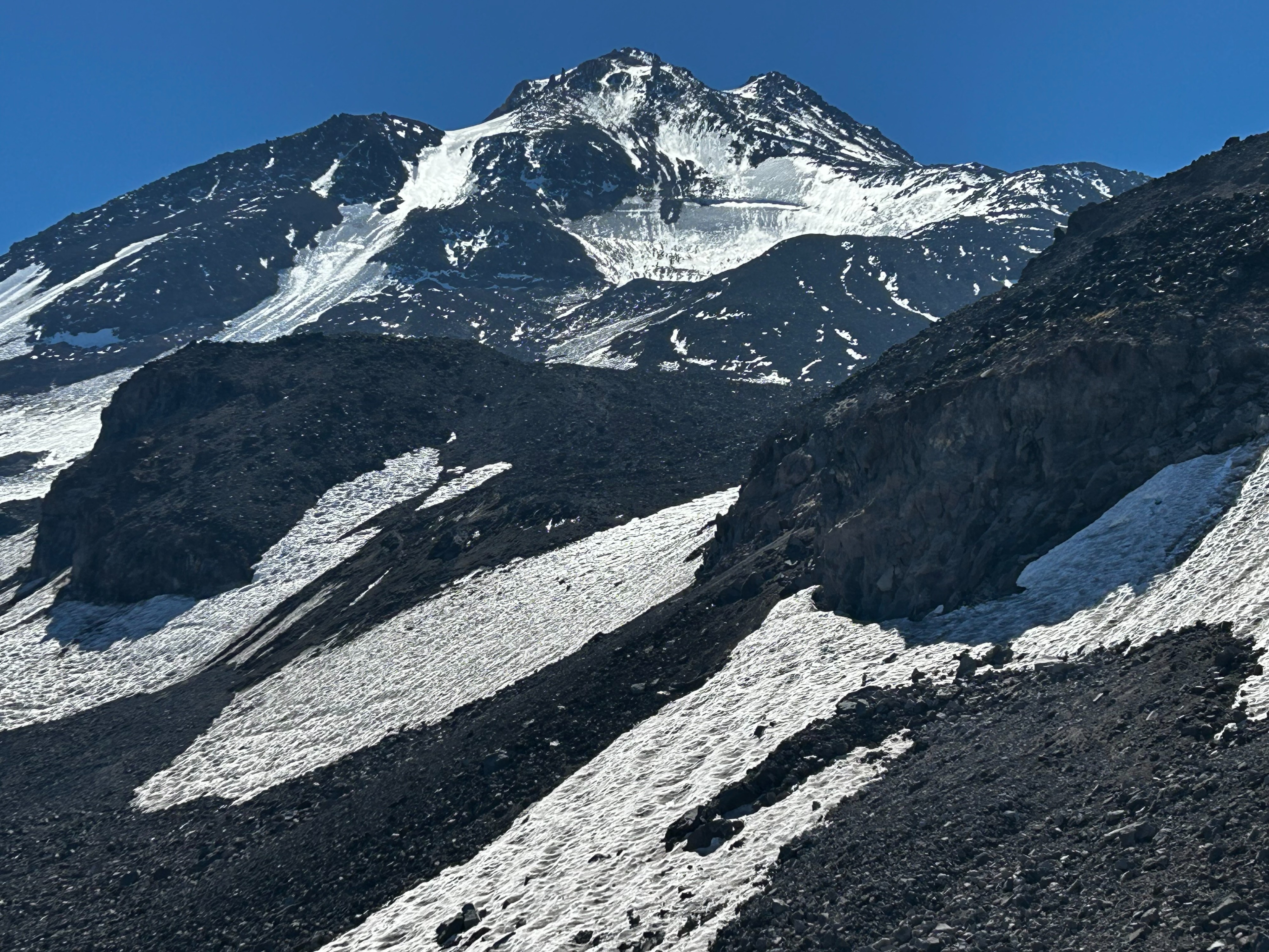
The mountain is displaying her true grit. Only glacial ice and small permanent snow patches remain amongst the piles of rubble that is Mount Shasta. The Bolam Glacier is looking meager this time of year. However, its splendor is still captivating with its glacial ice shimmering reflectively. Most of the glacier is a sea of gnarled ice, mixed with dirt and rock. The bergschrund could be seen at 12,450 feet. The lower half of the Bolam displayed inconsistent glacial ice and vast rock outcroppings. Bolam Creek was flowing with a large spout of water pouring over a rock face near the glacier’s terminus. A couple bivy sites were encountered while on route near Bolam Creek.
The Whitney begins as a dry glacier at its terminus of 10,000 feet. Gnarled and knife edged glacier ice weaves its way upwards between Shasta and Shastina. Large crevasses veiled beneath snow bridges were observed below the Shasta and Shastina Saddle. Frequent rockfall was witnessed from the north and northeast faces of Shastina and the west and northwest faces of Shasta. A bivy site exists on the climber’s right side at 10,000 feet, with a spring running from the glaciers flank not far away.
Coquette Falls is a deeply carved drainage with loose and steep flanks. Muddy and gritty water was observed pumping its way down over the falls.