
Quick report
Today we rode sleds into the Western Purcell Moutains to assess recent storm totals and search for evidence of buried surface hoar.
- Recent storm totals from the past few days were underwhelming. We observed about 2 inches near 5000 feet and 2-4 inches near our high point of 6100 feet. The recent snow was moist, but starting to feel drier as we neared 6000 feet.
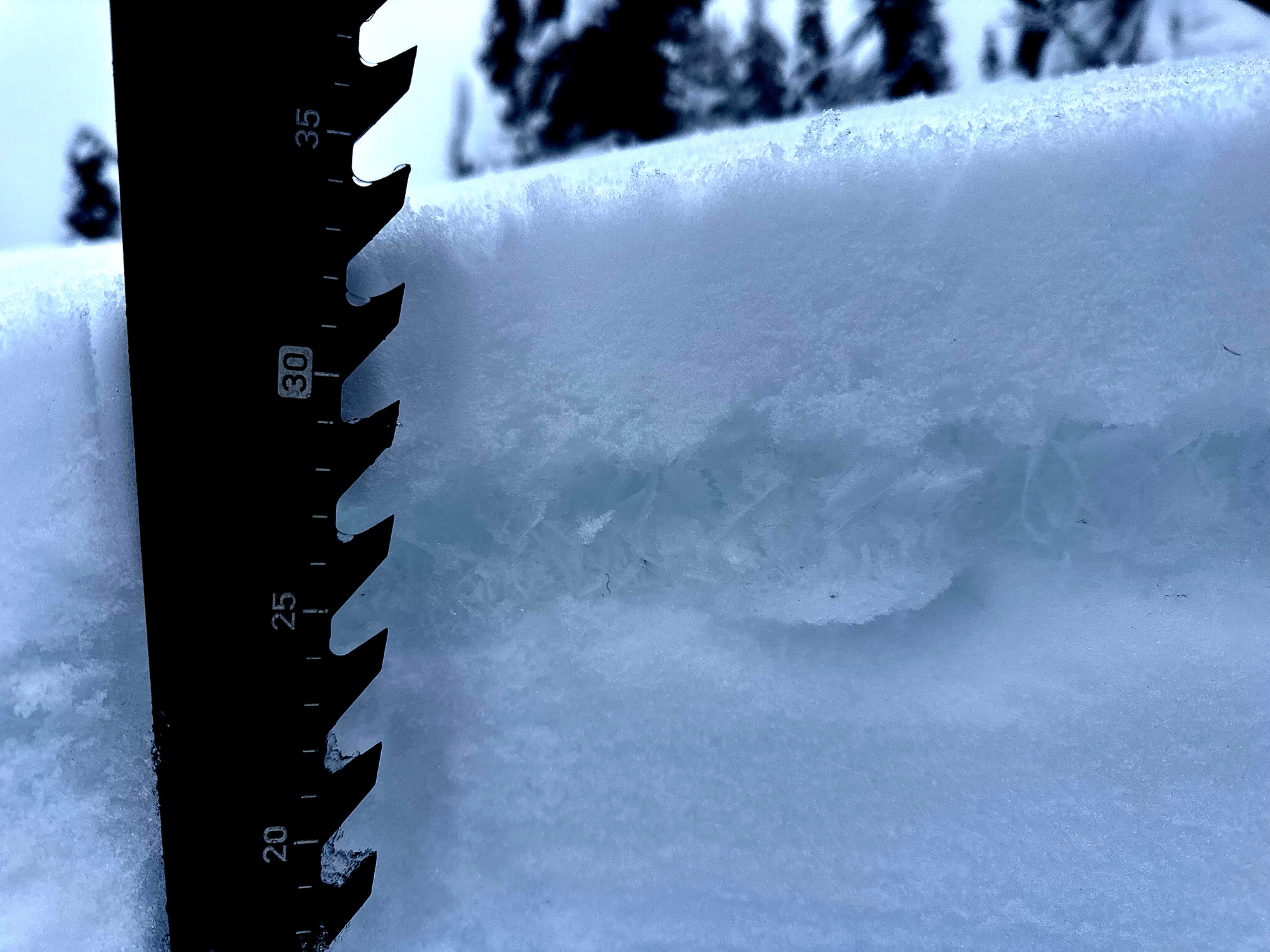
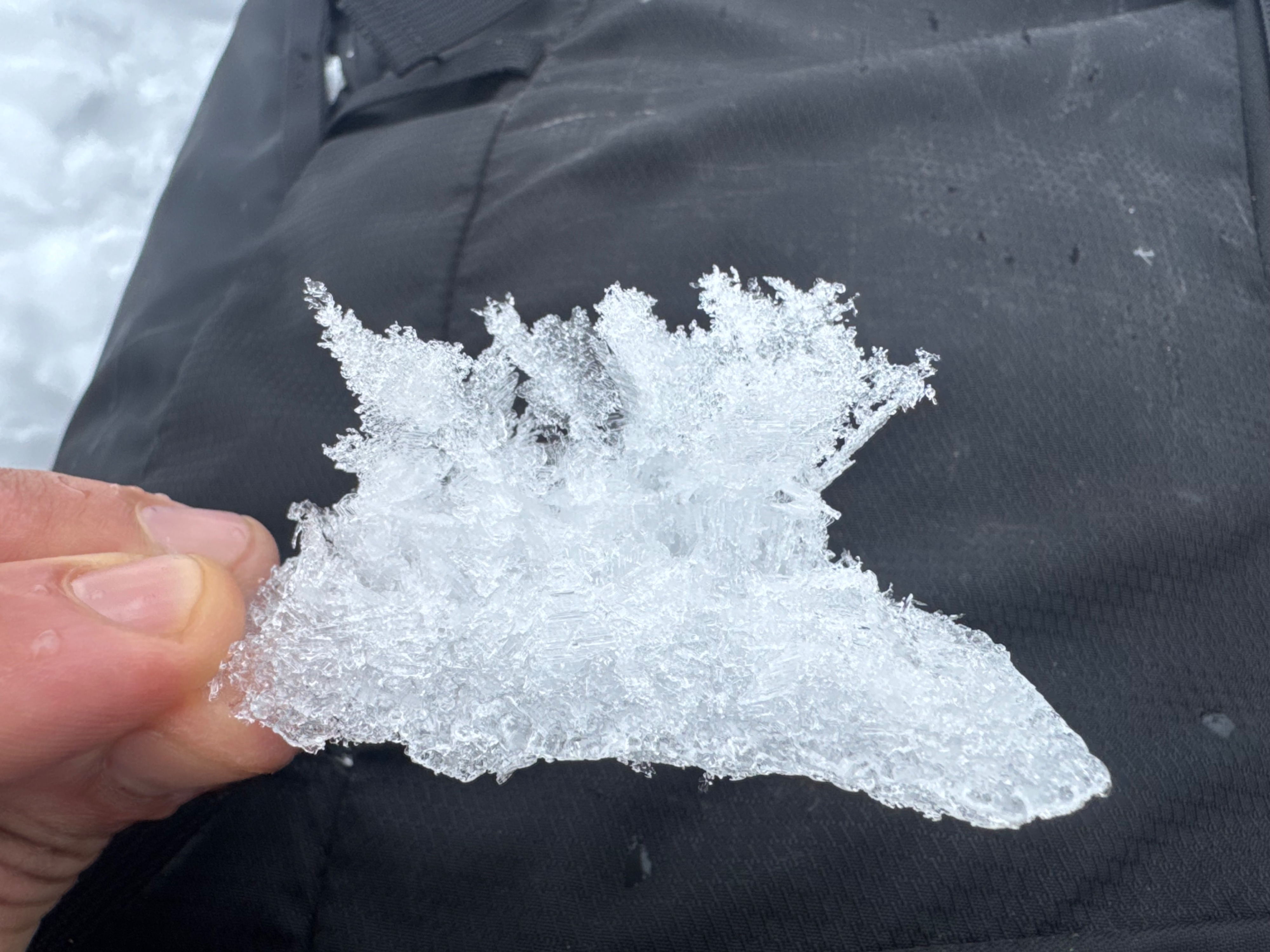
- The 1/28 buried surface hoar was everywhere. Or at least everywhere that we looked today. We only starting digging hand pits and searching for it above 5500 feet, where we parked our snowmobiles.
- The buried surface hoar varies somewhat in character and size, but in general was usually large feathers (10-30mm) and capping a brittle faceted crust.
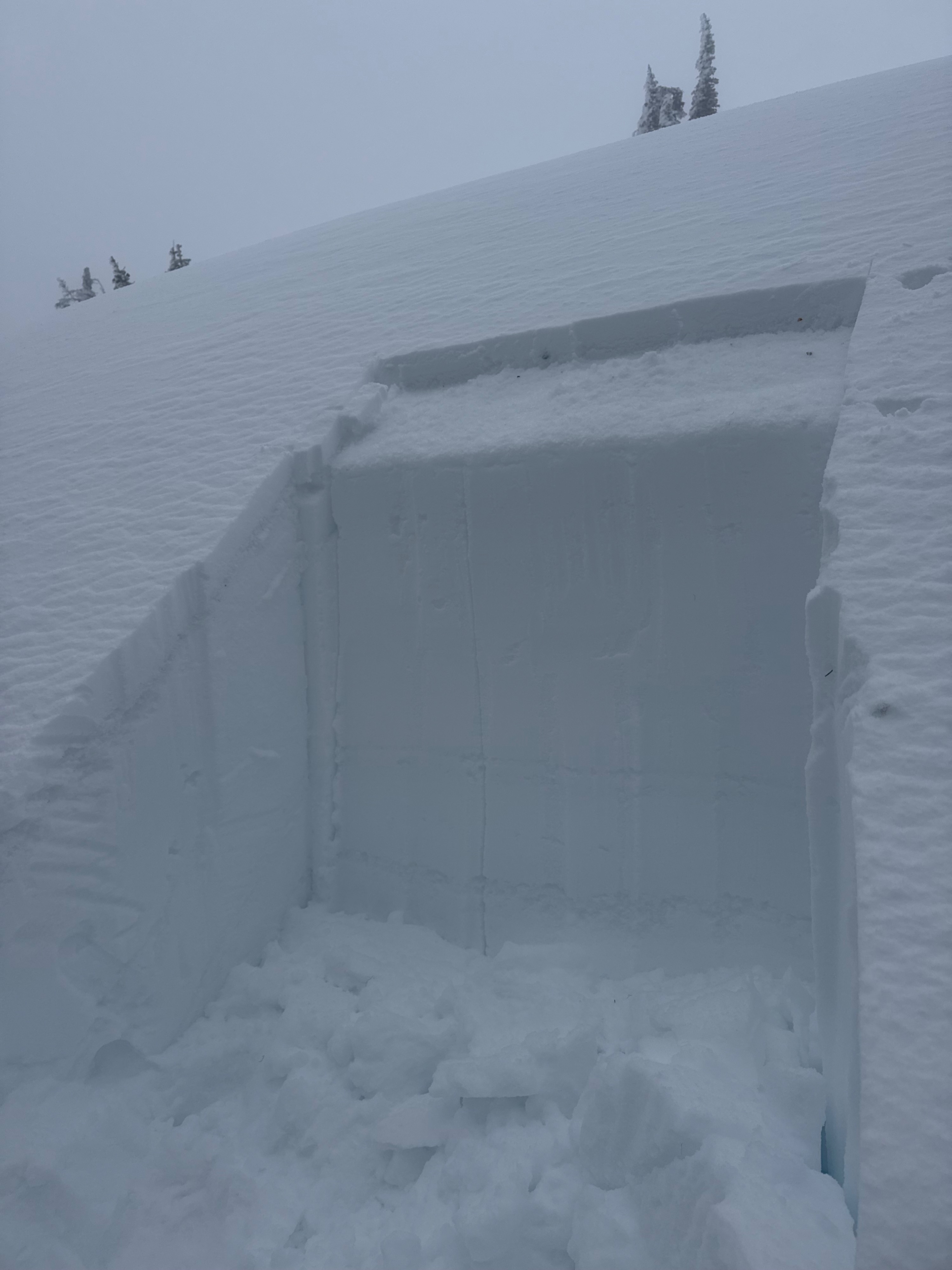
- Snowpack test on an east facing slope near 6000 feet gave us touchy to reactive results on the persistent weak layer despite thin overlying slab depths.
- Avalanches involving the recent snow here would be small due to the shallow slab depths, however they might propagate surprisingly wide due to the large fragile surface hoar lurking below.
- We avoided large steep open slopes and we were mindful to also avoid traveling near terrain traps.
Weather
- Air Temp
- 33
- Cloud Cover
- overcast
- Wind Loading
- light
- Rain Elevation
- 5500
- Recent Snowfall
- 9
- Snow Avail For Transport
- small smounts
Warm overcast day and foggy above about 5800 feet. No snowfall observed. Very calm winds at ridgetop. Light rain started around 1:30pm where we parked the sleds (@5500 feet). But it was not raining further down the canyon as we neared the parking lot.
Snowpack
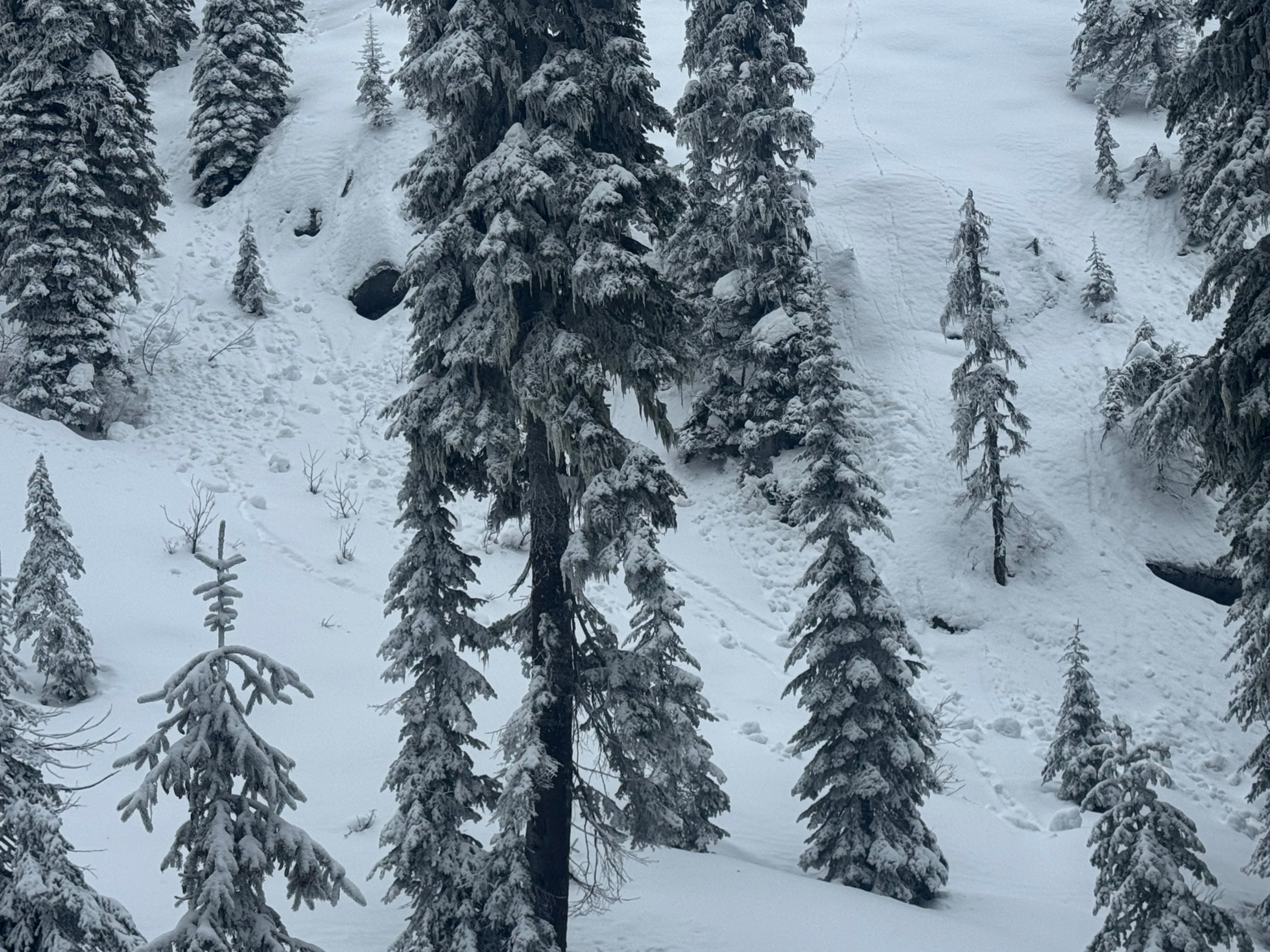
Below 5500, the snowpack is thin, patchy, and wetted by warm temperatures and recent rainfall. We started taking a closer look at the snowpack above 5500.
5500 feet-
- Average HS in a northeast facing drainage was 125-145cm.
- Storm slab was moist, only 2 inches thick, and capping large, well-preserved surface hoar.
- Surface hoar developed on top of a very thin translucent ice layer.
- The snow beneath the ice lens was heavily faceted
6000 feet-
- Average HS on an east facing slope near ridgetop was 170-190cm
- Storm slab was still slightly moist, 2-4 inches thick, and capping large, well-preserved surface hoar.
- Buried surface hoar was found at every location we inspected. Even in areas that would usually be exposed to strong winds near ridgetop. This weak layer is easily identified in quick shallow handpits.
- The surface hoar is generally capping a thin faceted crust. In some locations the crust was a little thicker and supportable, but in most locations it was brittle and heavily faceted underneath.
*Snowpit profile attached to media from an east facing slope near 6000 feet
Avalanche
none observed.