
Quick report
- Cracking
- specific
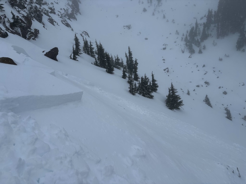
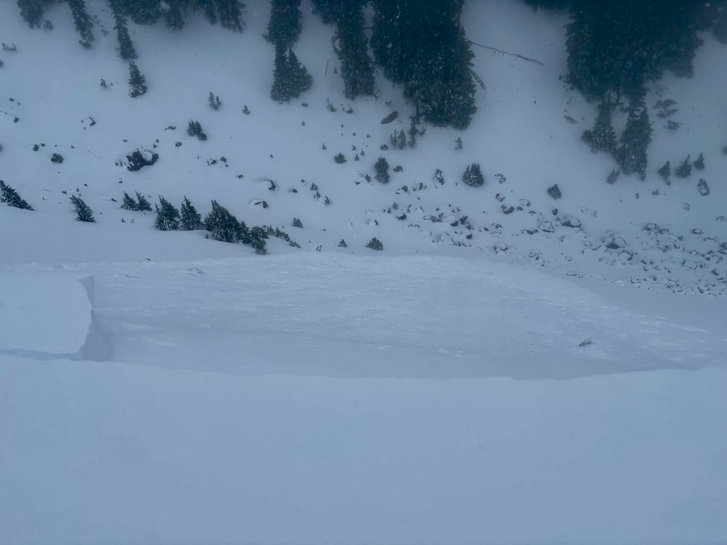
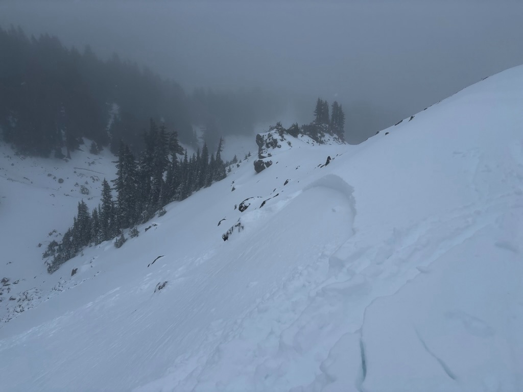
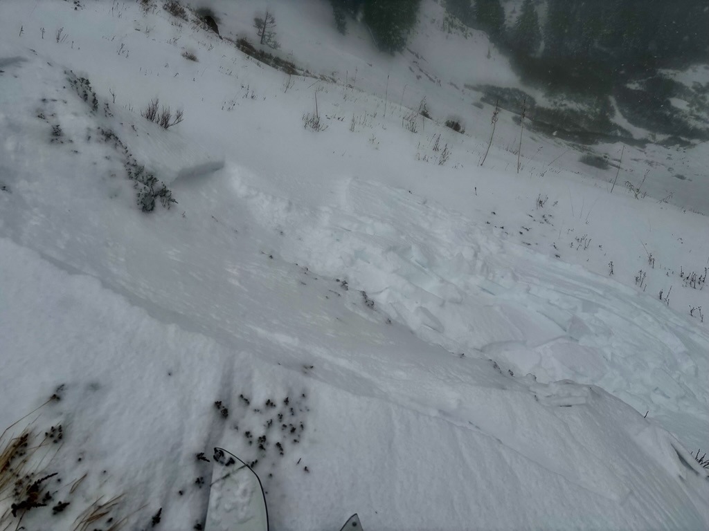
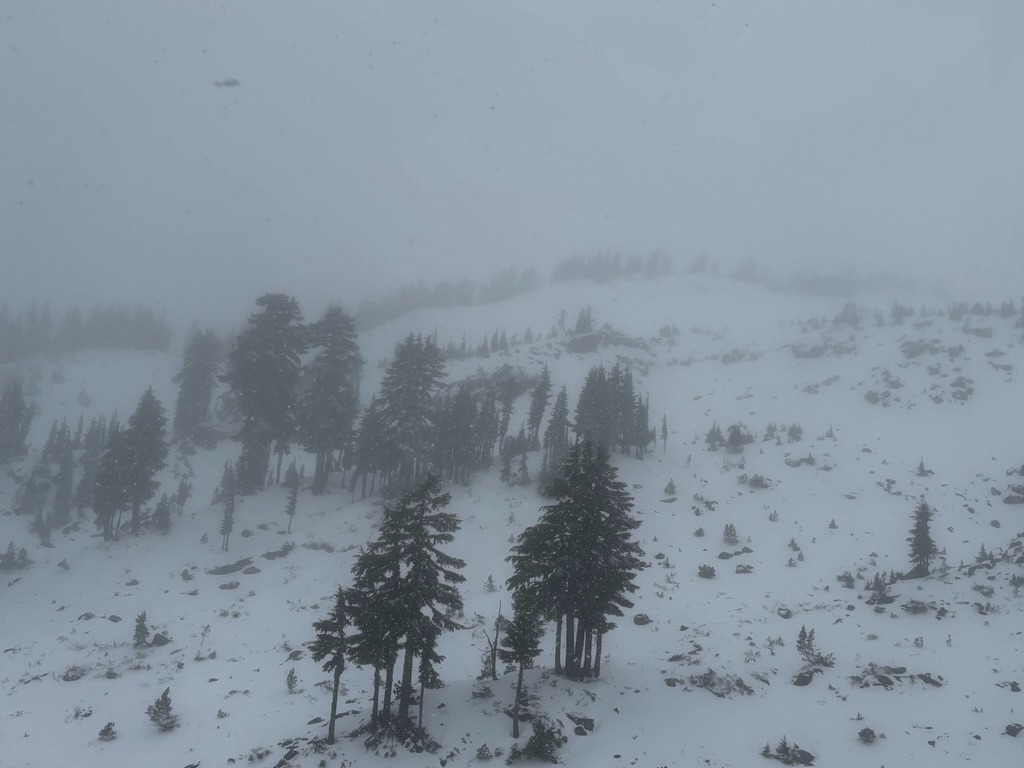
New snow, heavy wind loading, and warming temperatures created sensitive, dangerous conditions above 6000 ft. We didn't have to skin much past 6000 ft to find small slabs easily releasing along wind-loaded features. While the 10-12 inches of new snow is welcome, it remains shallow out there. A small avalanche could easily have an undesirable outcome with the amount of rocks, logs, and trees that plague many start zones and avalanche paths right now. Poor visibility and high winds limited observations beyond 6500 ft.
Please check the Mt Hood Meadows website for up-to-date information about their uphill policy before venturing up. Please adhere to their policy while they prepare for winter operations.
During this time of day, instability was confined to wind-loaded features above 6k.Weather
- Air Temp
- High 20s/Low 30s
- Cloud Cover
- obscured
- Wind Loading
- intense
- Rain Elevation
- 2000 ft and rising
- Recent Snowfall
- 30 cm
- Snow Avail For Transport
- large amounts
The day started cold with snow accumaltion in Parkdale, but temps quickly increased through the morning with the rain line reaching Bennett Pass by 1030 AM. It was very wet snow by the end of our tour around the base area @ 5500 ft.
Snowpack
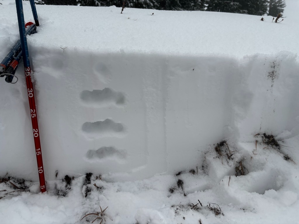
The base area picked up about 25 cm (10 inches) of new snow and this depth increased with elevation. By 6000 ft, I was probing depths of 35-40 cm (13-15 in), with significantly deeper depths in wind loaded areas. With the warming temperatures, this new snow was falling upside down, which was easy to identify with quick hand hardness profiles and by using small test features. New snow was falling largely on bareground below 6500 ft. Even with this dense new snow, the middle and lower elevations remain shallow. We carefully picked our way down grassy slopes.
Avalanche
- Size
- D1.5 R1
- Type
- SS
- Aspect
- E
- Trigger
- AS
- Elevation
- 6500 ft