
Quick report
GTNP
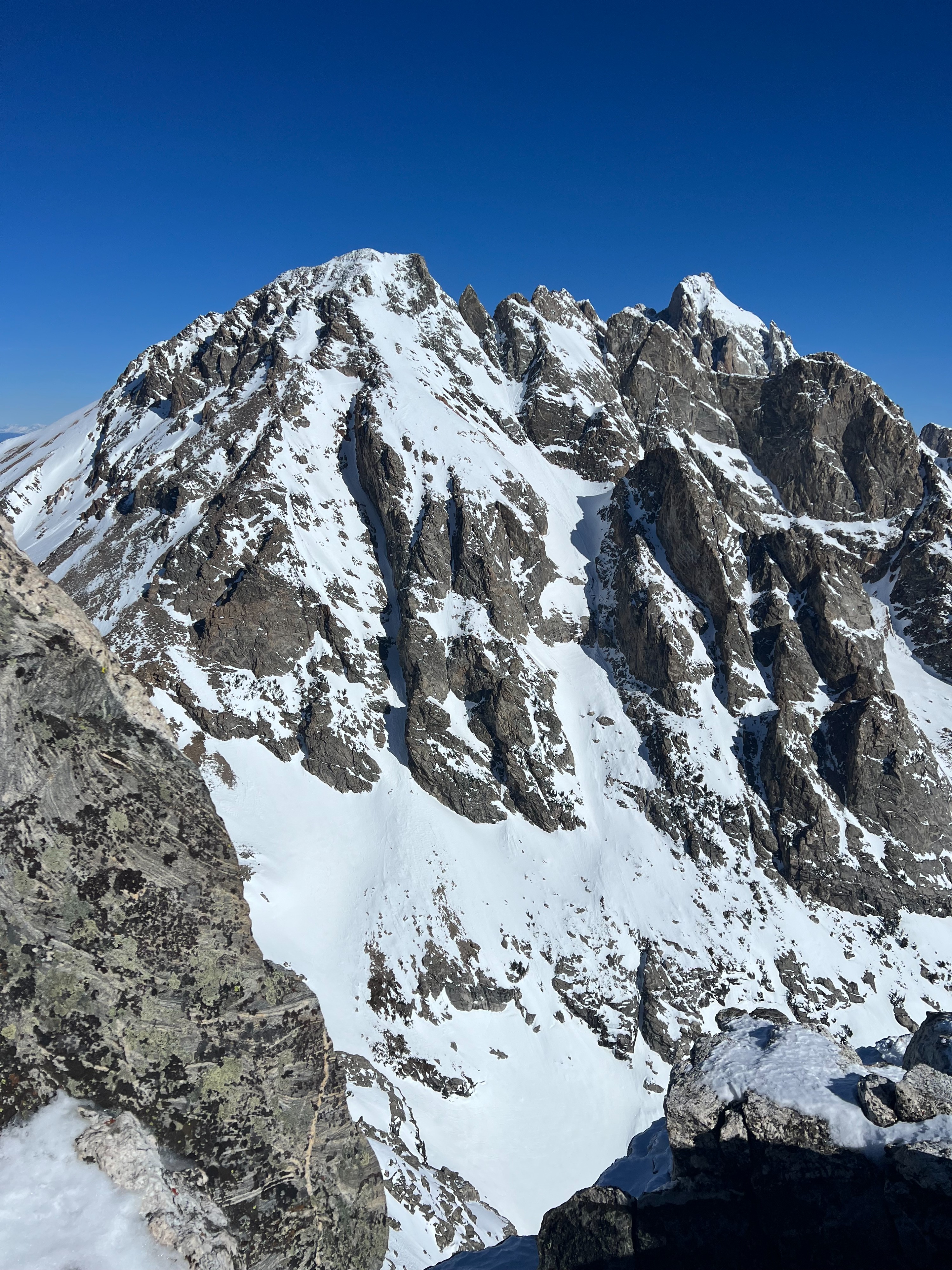
Toured to the alpine. Wet loose activity from previous days was most prominent on steep S/SE aspects, less than D1. Less wet loose observed than expected. No signs of any large wet loose (good visibility looking west at a lot of terrain). More activity in the middle elevations than the upper elevations. Wet loose was concentrated almost exclusively around rocks features. Solid refreeze of snow surfaces last night. Severity of crust decreased with elevation (very slippery on steep S/E aspects in lower to middle elevations in AM before the thaw). Southerly aspects held a crust up to 11,500'. Snow surfaces were warming by 9:00-10:00 in upper elevations. Various levels of wind board exists on northerly aspects from strong NE wind event. Soft wind board and preserved snow still exists on true northerlies above ~8500' (maybe lower?). Light W/NW breeze above 10,000'.
Night time tempeatures are slowly increasing. Check the temperatures in the AM before getting into the mountains to help inform of how quickly snow surfaces will warm. Last night temperatures dropped below freezing from 18:00-11:00 at JHMR Summit (10,500) with a low of 27 degF. Timing the thaw is critical during these spring like conditions. As we've been saying in the forecast, get up and get out early. Alpine starts are key to avoiding wet avalanche problems and finding the most enjoyable snow conditions. And don't forget sunscreen.