
Quick report
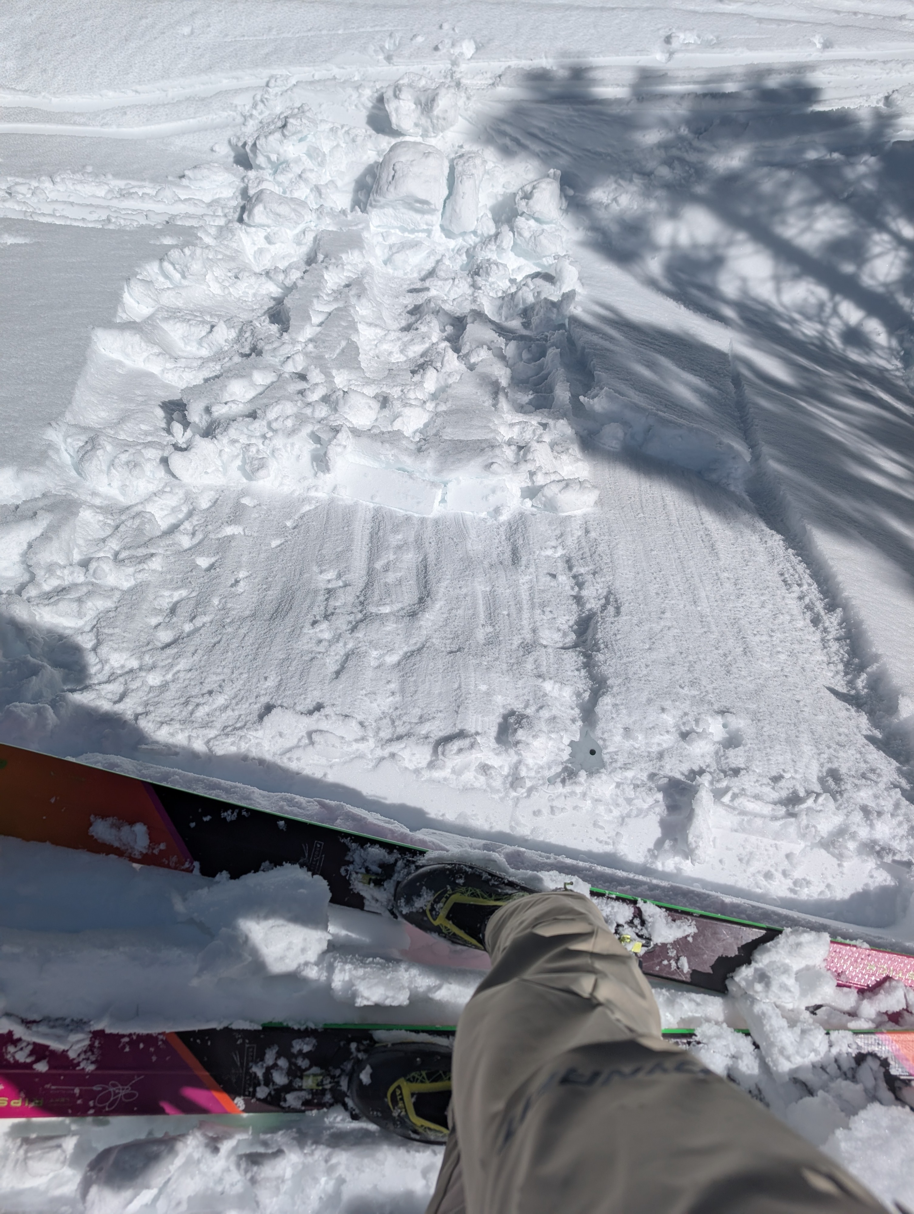
We found widespread breakable crusts around Silver Peak this morning anywhere that got sun yesterday. These softened quickly as the day warmed up in areas sheltered from the wind. Wind-exposed areas took longer to warm up. By 11:30, we started feeling wet snow on sunny slopes below 7400 ft, and we could trigger pinwheels and sluffs of wet, loose snow on E-facing test slopes by 1 pm. We talked to another party who triggered a small wet loose avalanche on an E-aspect around 8000 ft around noon. The snow on steeper, shaded N aspects remained cold and soft during our tour.
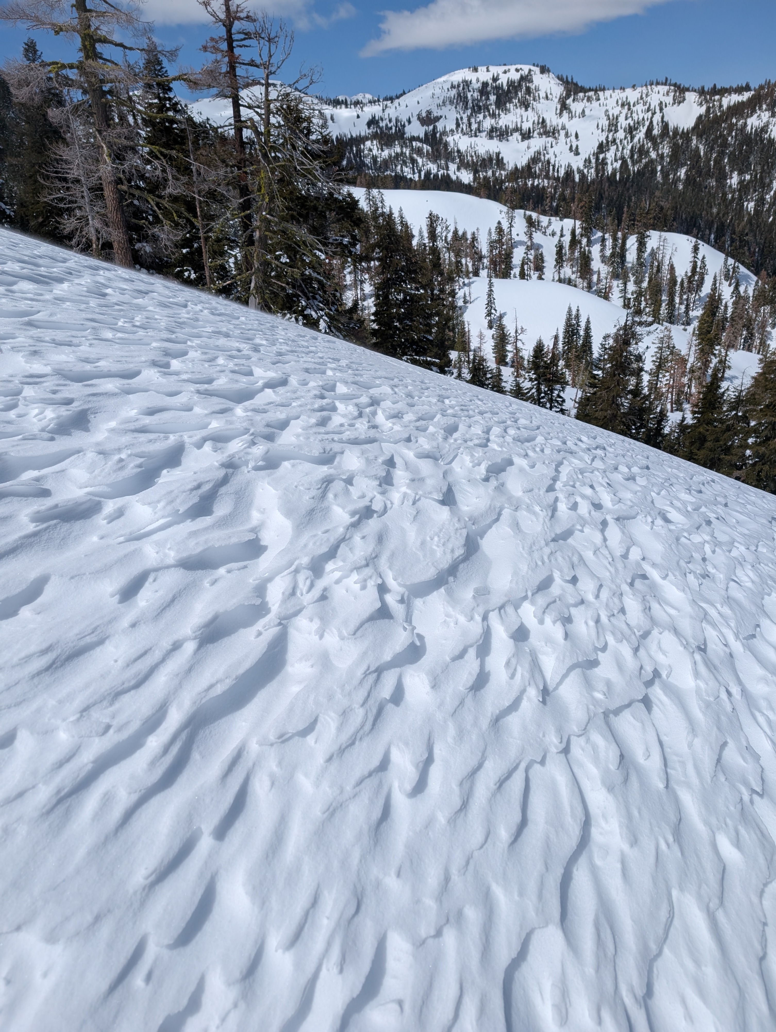
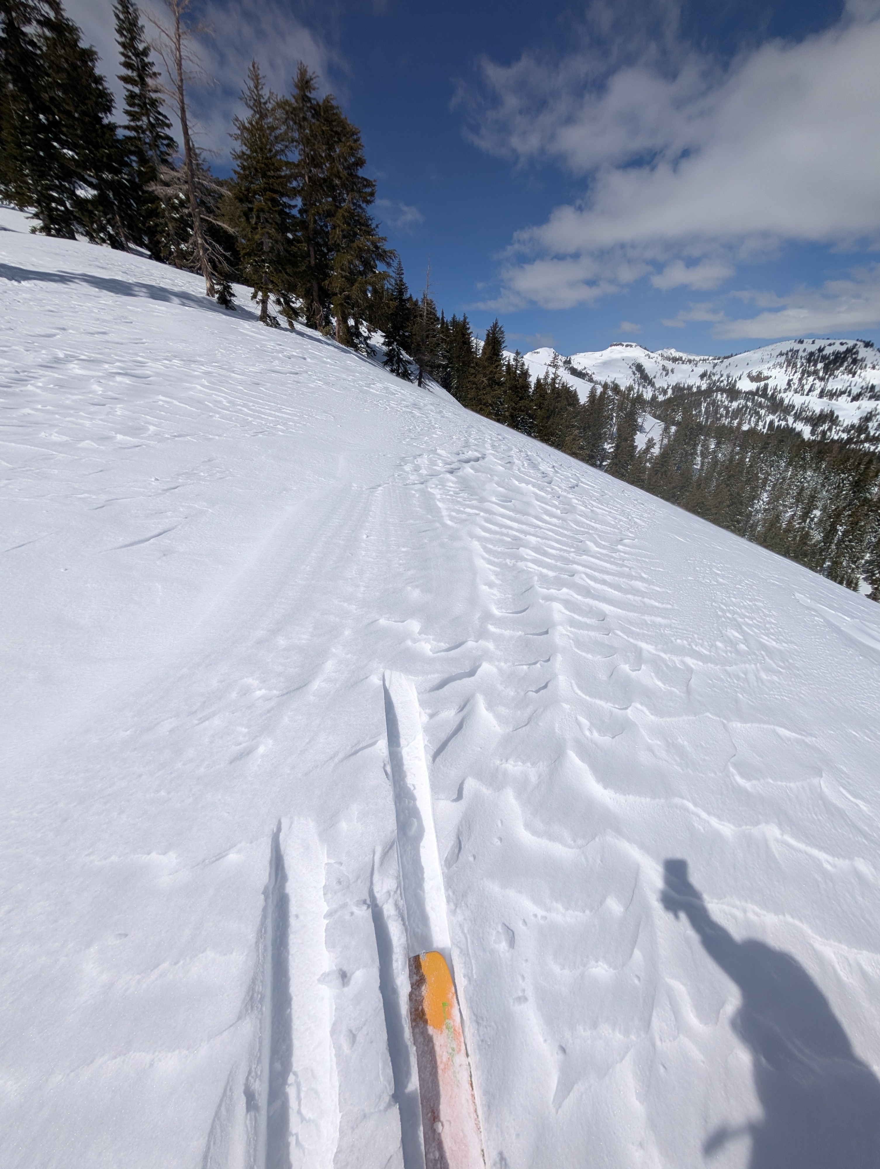
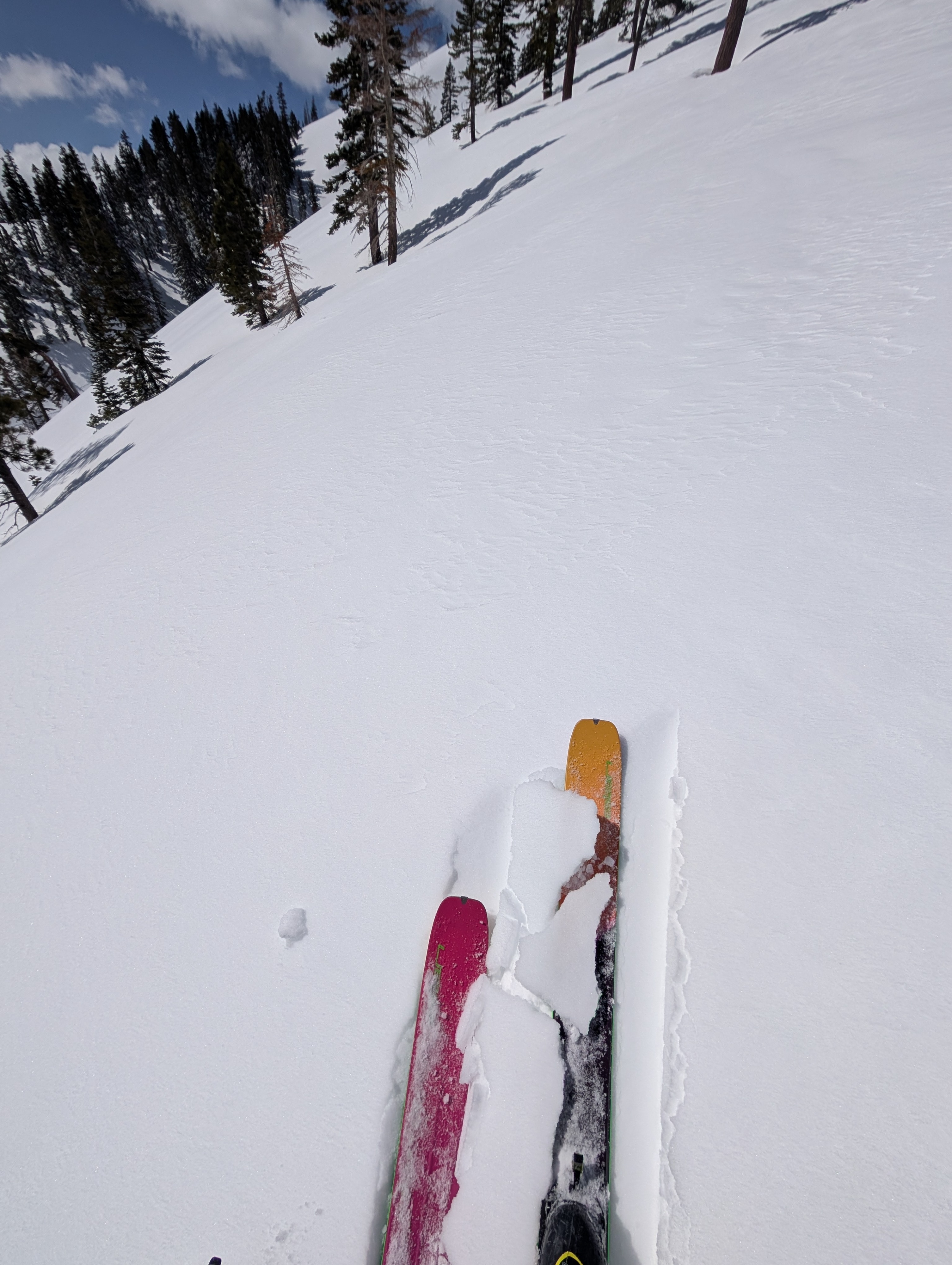
In more exposed areas along Silver Peak's upper ridges, we could see evidence of multiple wind directions, including SW, SE, and E. The SE and E winds remained strong and gusty along those ridges. Still, they were not transporting much snow due to the crusts on some windward aspects. We found a thin wind crust on the leeward slopes and some wind-carved snow surfaces. We did not see any signs of unstable wind slabs.
We saw one small skier-triggered wet loose avalanche on an E aspect at about 8000 ft.Weather
- Air Temp
- 30 °F
- Cloud Cover
- few
- Wind Loading
- light
- Snow Avail For Transport
- small smounts