
Quick report
- Cracking
- isolated
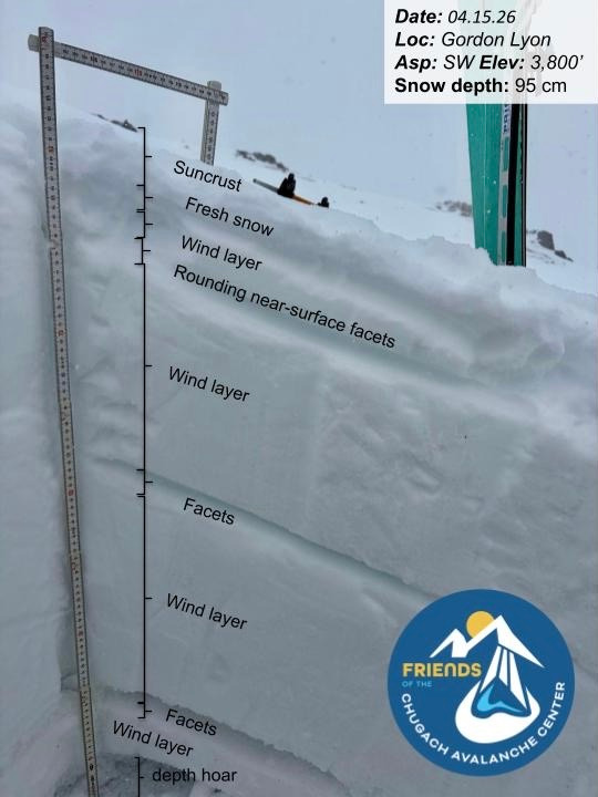
There was 1–3" of new snow on all aspects, drifting up to 8" near ridgetops in exposed, wind-affected terrain. On south-facing slopes, we found a ~5" thick sun crust at lower elevations (~2,700'), tapering to ~2" up to ridgetops. The overall snowpack structure remains consistent across the park: near-surface facets in the upper snowpack, a mid-pack facet layer, and depth hoar at the ground, all interspersed with wind-affected snow.
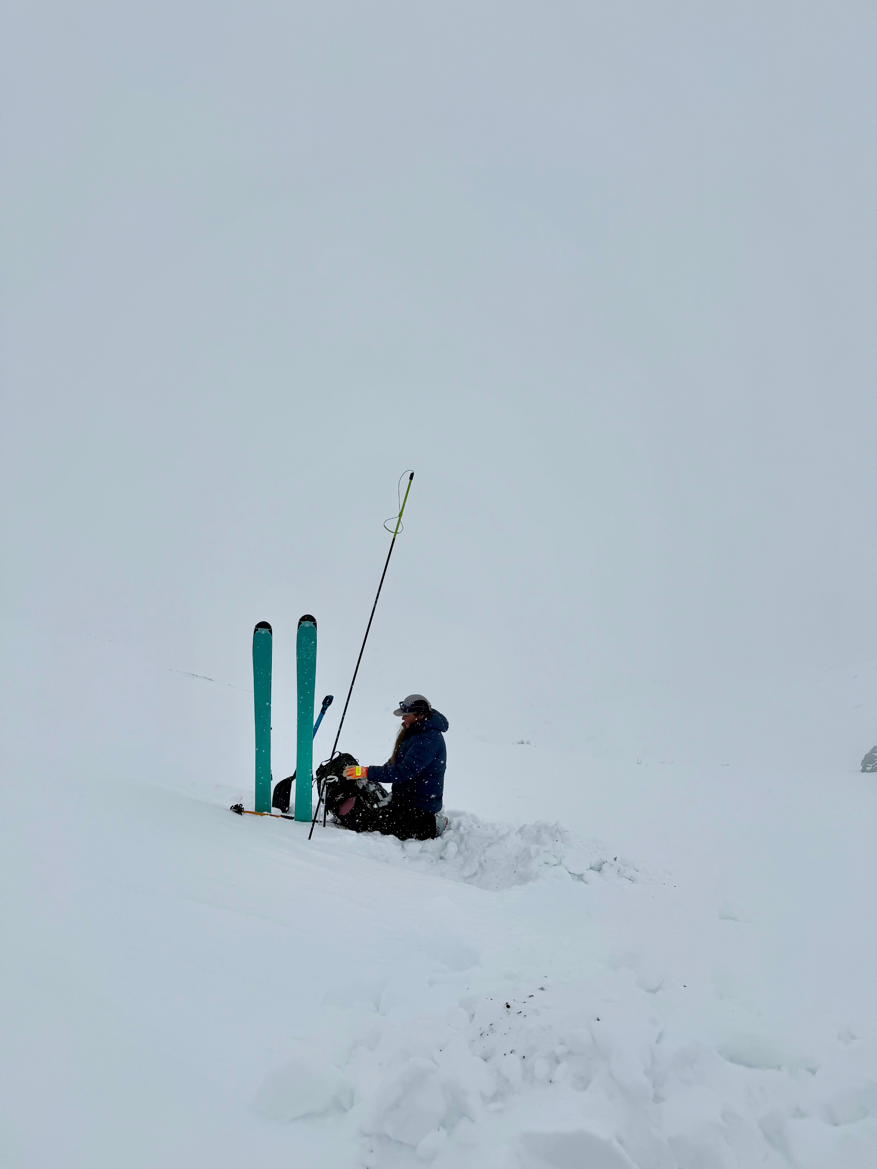
We observed signs of healing in the upper near-surface facet layer, while mid-pack facets and depth hoar remain dry and unchanged. No formal stability tests were performed due to a pencil-hard wind slab that made isolating a column difficult. With overcast skies and wind, we saw no signs of active warming or crust breakdown. North aspects remain dry with no surface melt, holding up to 1' of soft, low-density snow at higher elevations.
We remain on the cusp of wet instability, but recent overcast skies, increasing winds, and solid overnight freezes have kept the snowpack cool for now.
Looking ahead, a significant wind-loading event is expected from Thursday morning through Friday evening. Sustained strong SE ridgetop winds, especially across the southern portions of the park (Upper Rabbit Creek, Glen Alps Recreation Area), will likely build fresh wind slabs and create a touchy snow surface over the next couple of days.
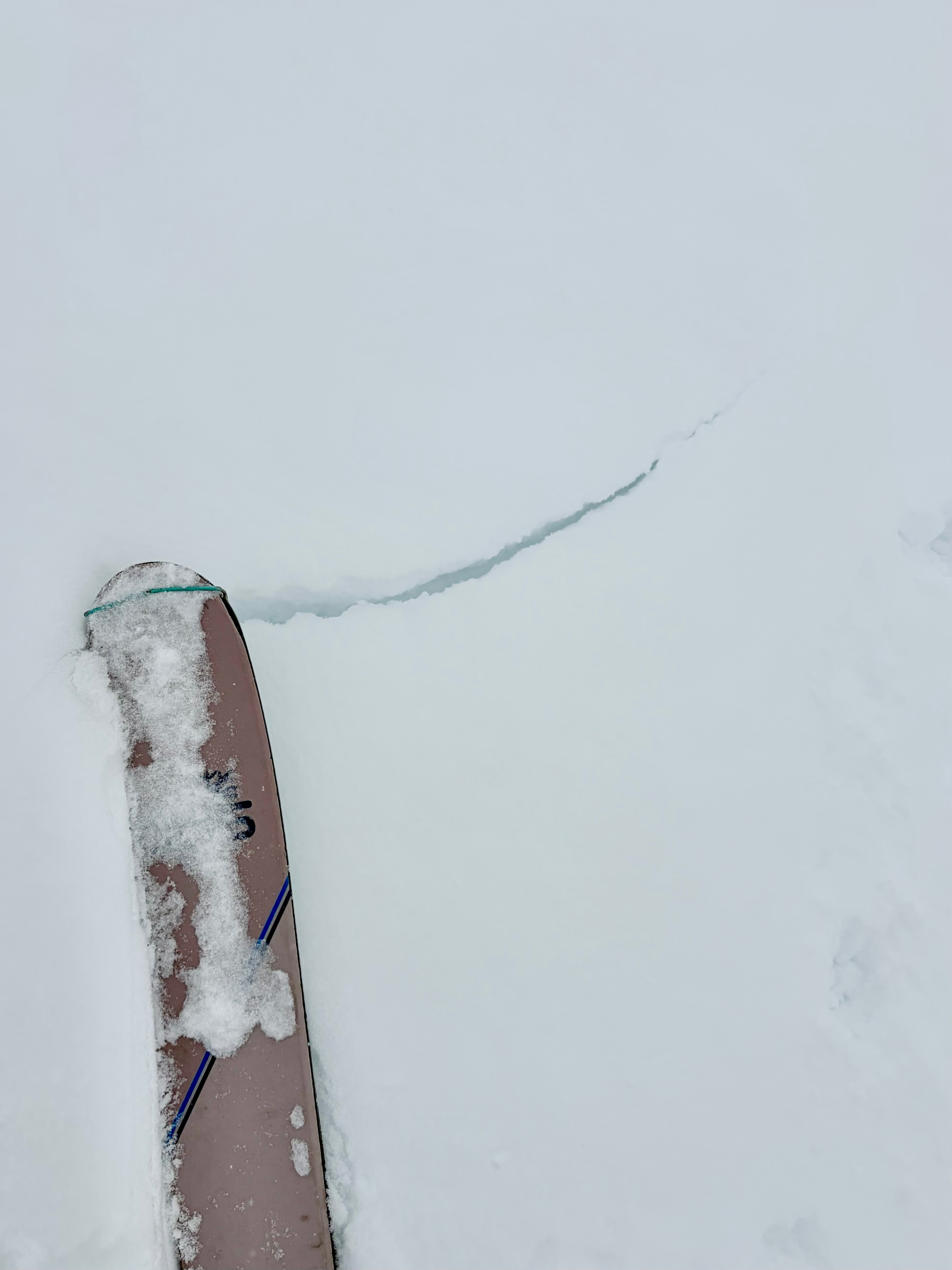
We triggered one isolated shooting crack in sensitive, freshly wind-affected snow.Weather
- Air Temp
- 30
- Cloud Cover
- overcast
- Wind Loading
- light
- Rain Elevation
- Not observed
- Recent Snowfall
- 8
- Snow Avail For Transport
- moderate amounts
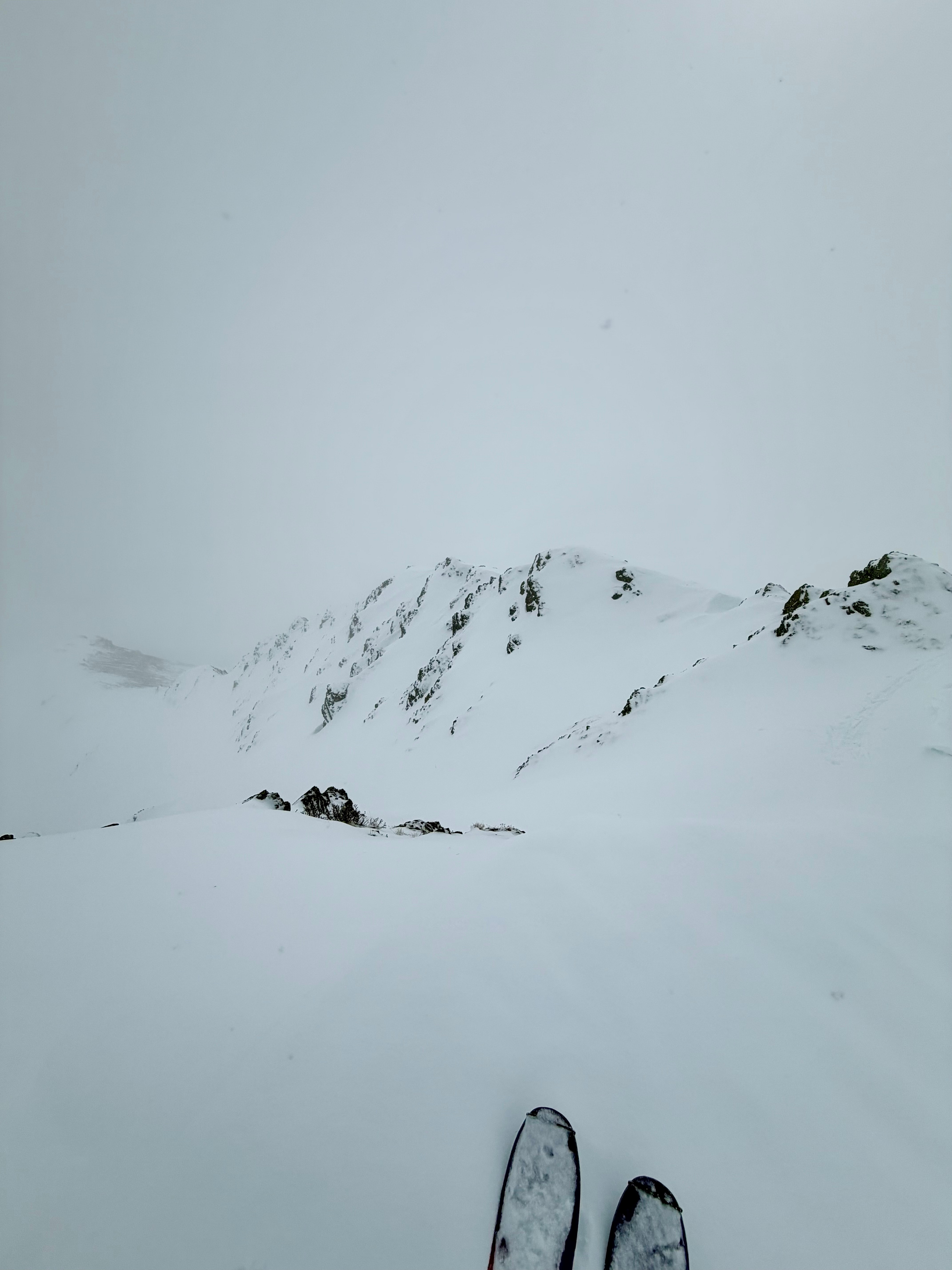
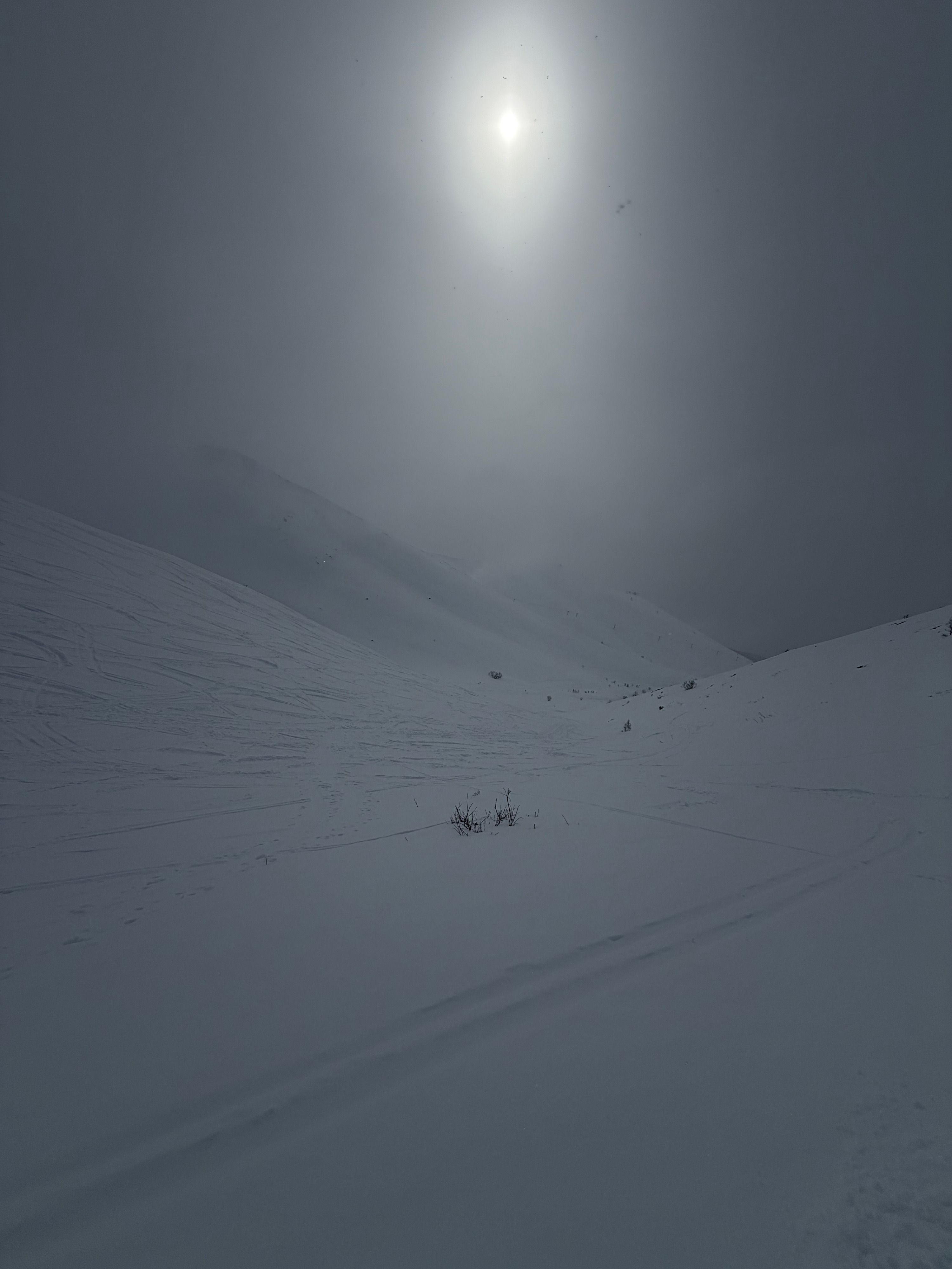
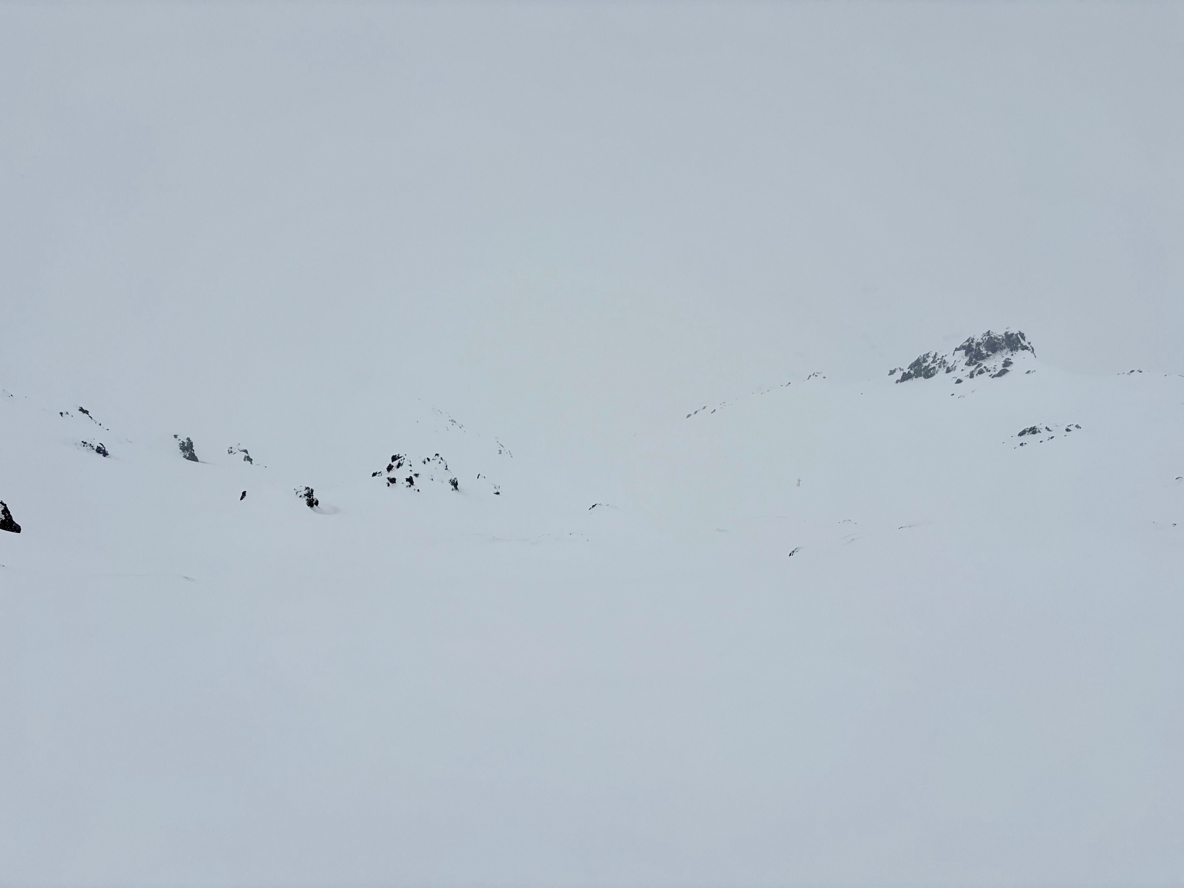
Felt like traveling inside a cloud today, with overcast skies and light, steady snow showers. Temperatures ranged from the mid 20s to mid 30s °F, with light SE winds.