
Walker Canyon
Weather
- Cloud Cover
- clear
- Wind Loading
- intense
- Rain Elevation
- NA
- Recent Snowfall
- NA
- Snow Avail For Transport
- moderate amounts
A cold and clear night last night fed into clear skies and cold temps early this morning. Winds were moderate with strong gusts from the SW. Temperatue increased to above freezing by 10 am, and the March sun was high in the sky, reaching even NE aspects.
Snowpack
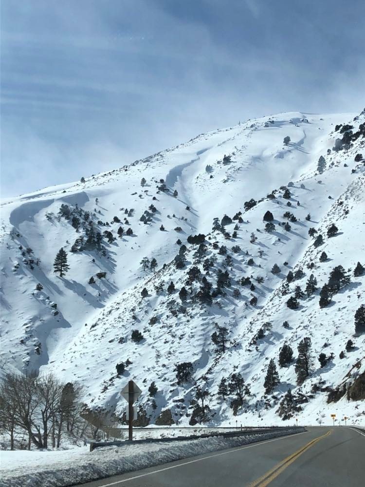
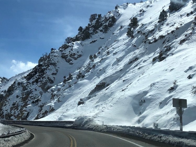
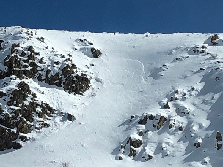
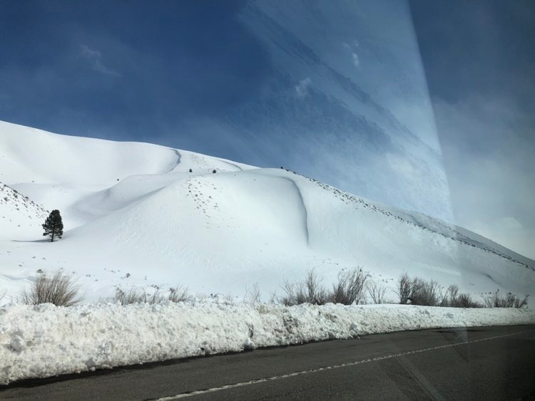
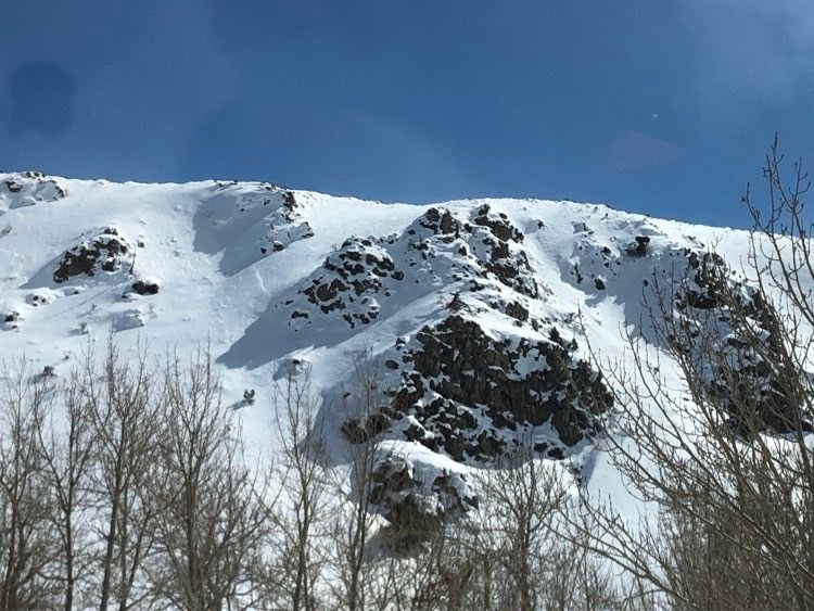
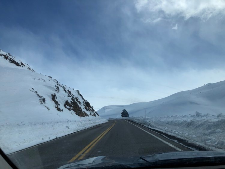
A wet and warmer storm is forecasted to begin this afternoon. I went for a drive and then a small tour through Walker Canyon early this am to get a better look at pre-storm conditions, and the start zones of some of the more prominent avalanche paths that affect the road.
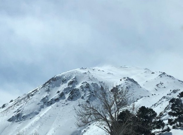
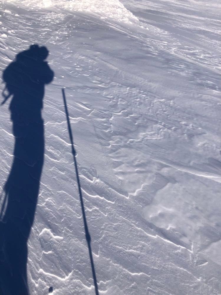
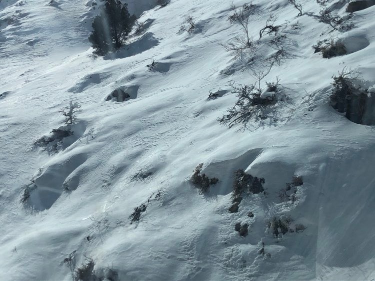
I toured in the NW region of the canyon, by the slide path just south of Eastside Ln. Wind affect is evident on all aspects and at all elevations. NE - NW terrain is loaded throughout the canyon and small cornices are present. I noted scouring, loading, sastrugi, and other textures on all aspects at lower elevations. While the predominant wind direction this am was SSW, winds were swirling through the canyon in a variety of ways, and snow transport at lower elevations was unpredictable and changing.
The southerly aspects of the canyon have melted some - sun and rocks and shrubbery are visible.
My phone died so I wasn't able to snap a picture, but an especially interesting find was 1 - 3 mm surface hoar by the river, and in a few wind protected areas on slope as well.
Temperature increased quickly and was above freezing by 10 am. The high March sun reached even NE aspects in the early am hours.