
Quick report
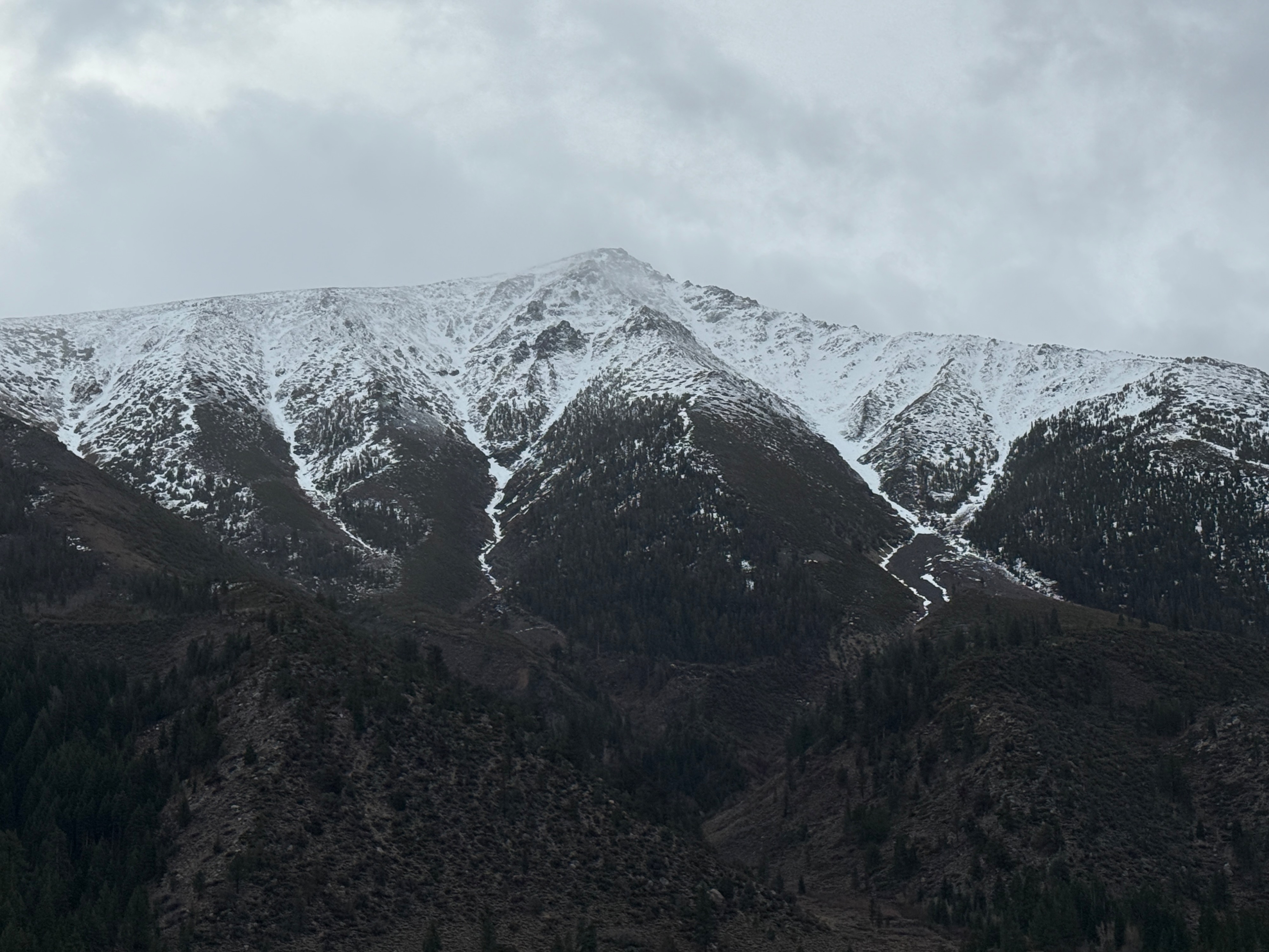
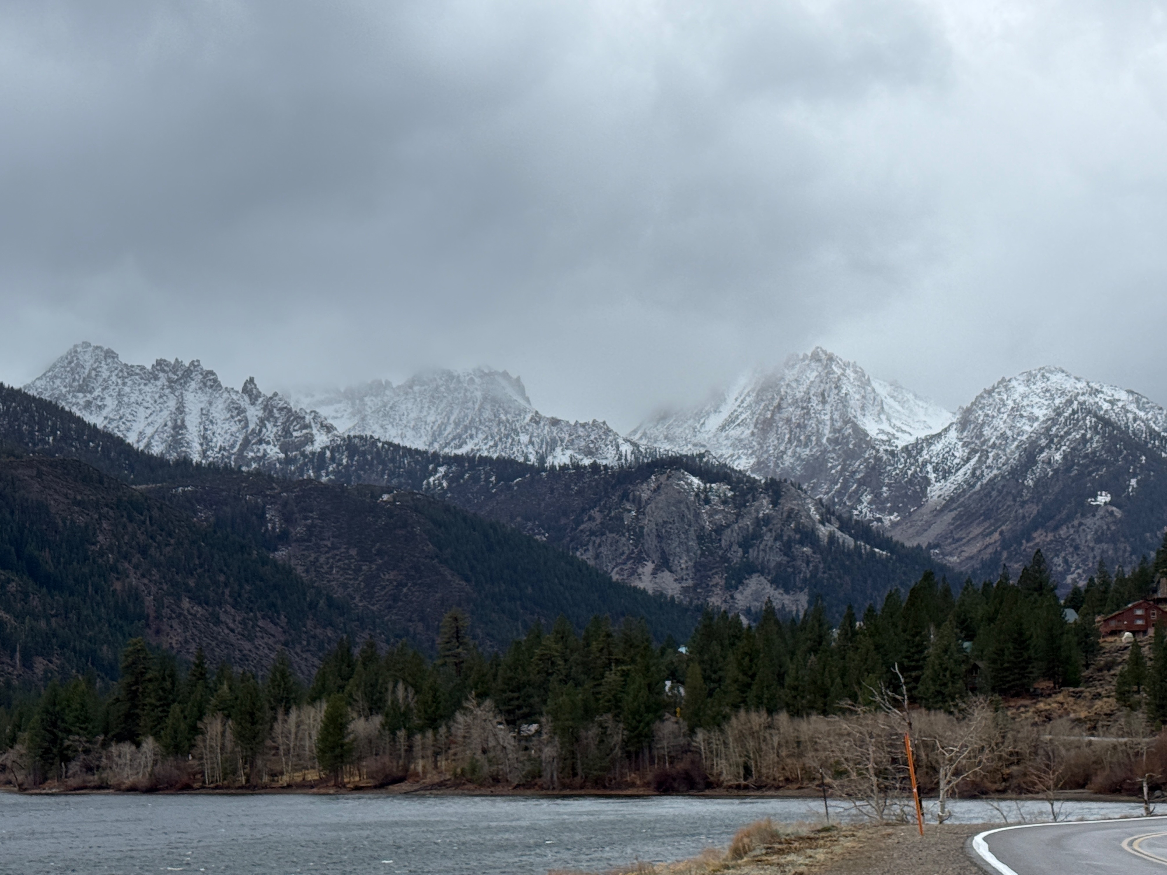
Went to both Twin Lakes and Sonora Pass today to get eyes on rain/snow line and new snow accumulation. The clouds broke enough at Twin Lakes to see both Crater Crest and the Sawtooth Ridge (both roughly 11,300ft). They appeared to have small amounts of wet new snow, but it was difficult to tell at what elevation the rain/snow line was.
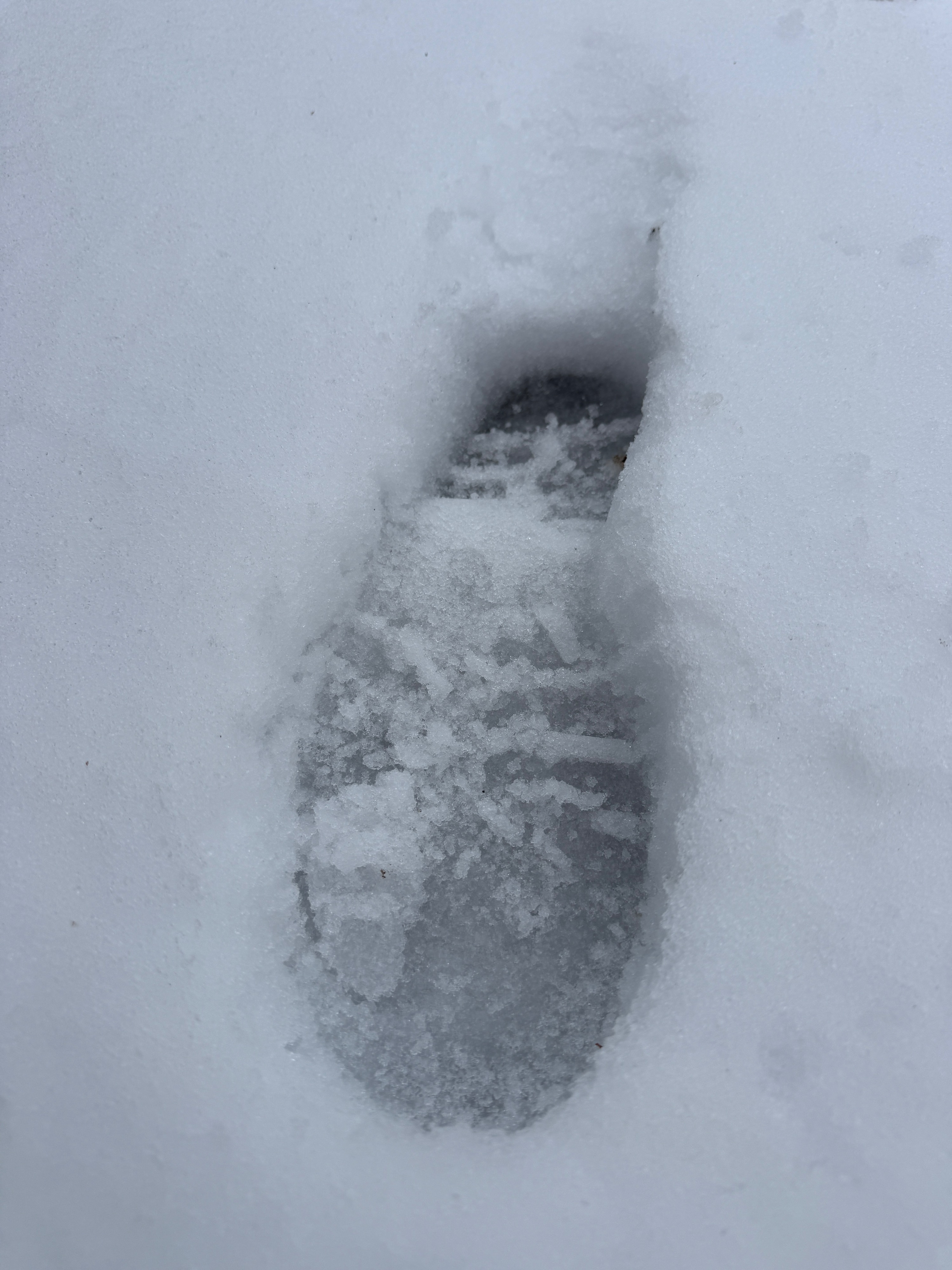
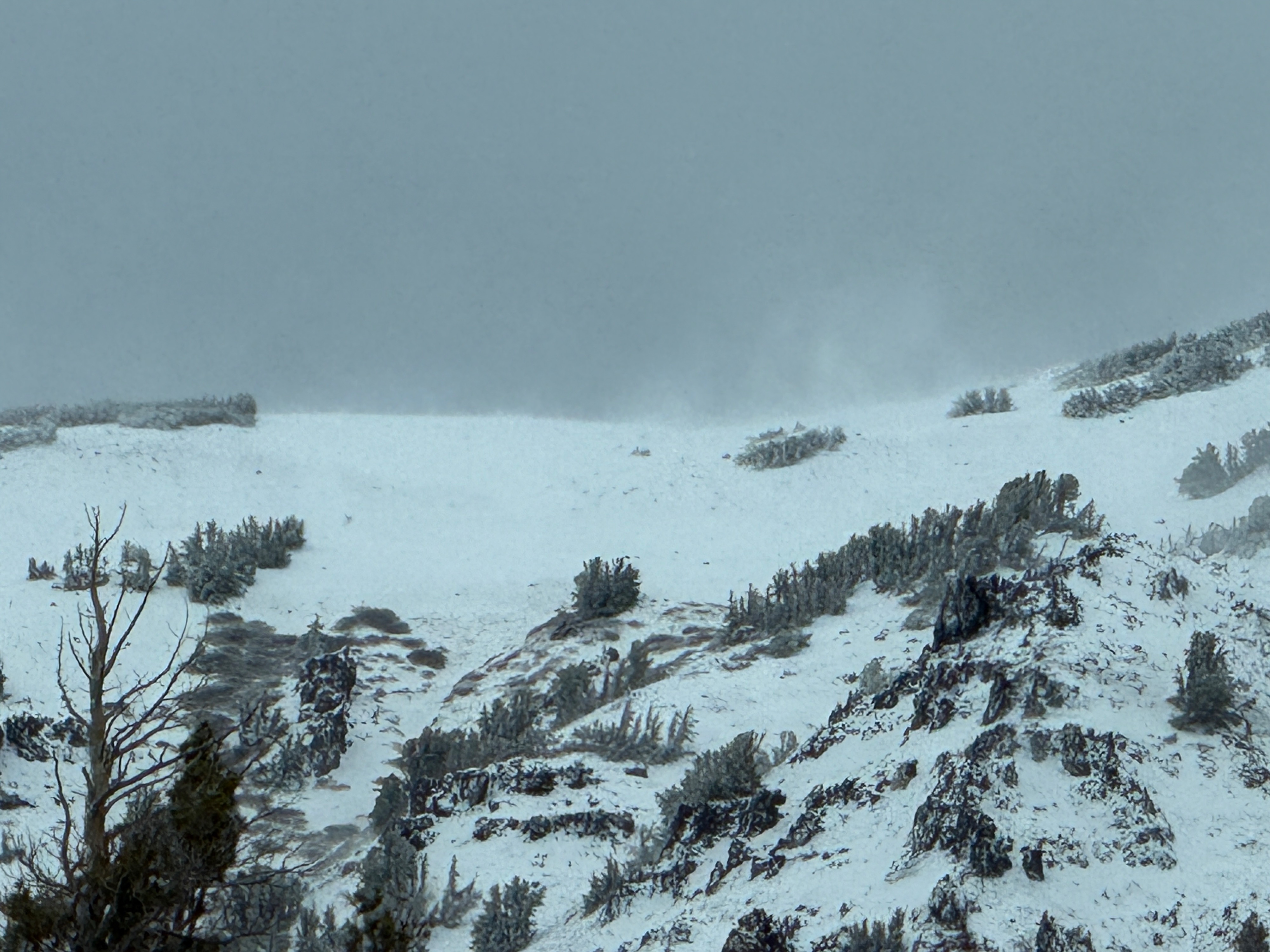
When we went to Sonora Pass, the first new snow we encountered was at 9,100ft. At 9,650ft there was 2-3" of very wet new snow. On terrain above 11,000ft the snow was dry enough to get blown by the strong winds and create tall plumes of wind blown snow.
We did not see evidence of any recent wet avalanches today.
Weather
- Cloud Cover
- broken
- Wind Loading
- moderate
- Rain Elevation
- 9100ft
- Recent Snowfall
- 7cm
- Snow Avail For Transport
- small smounts
Cloud cover and occasional rain/snow showers over the crest, with strong winds