
Quick report
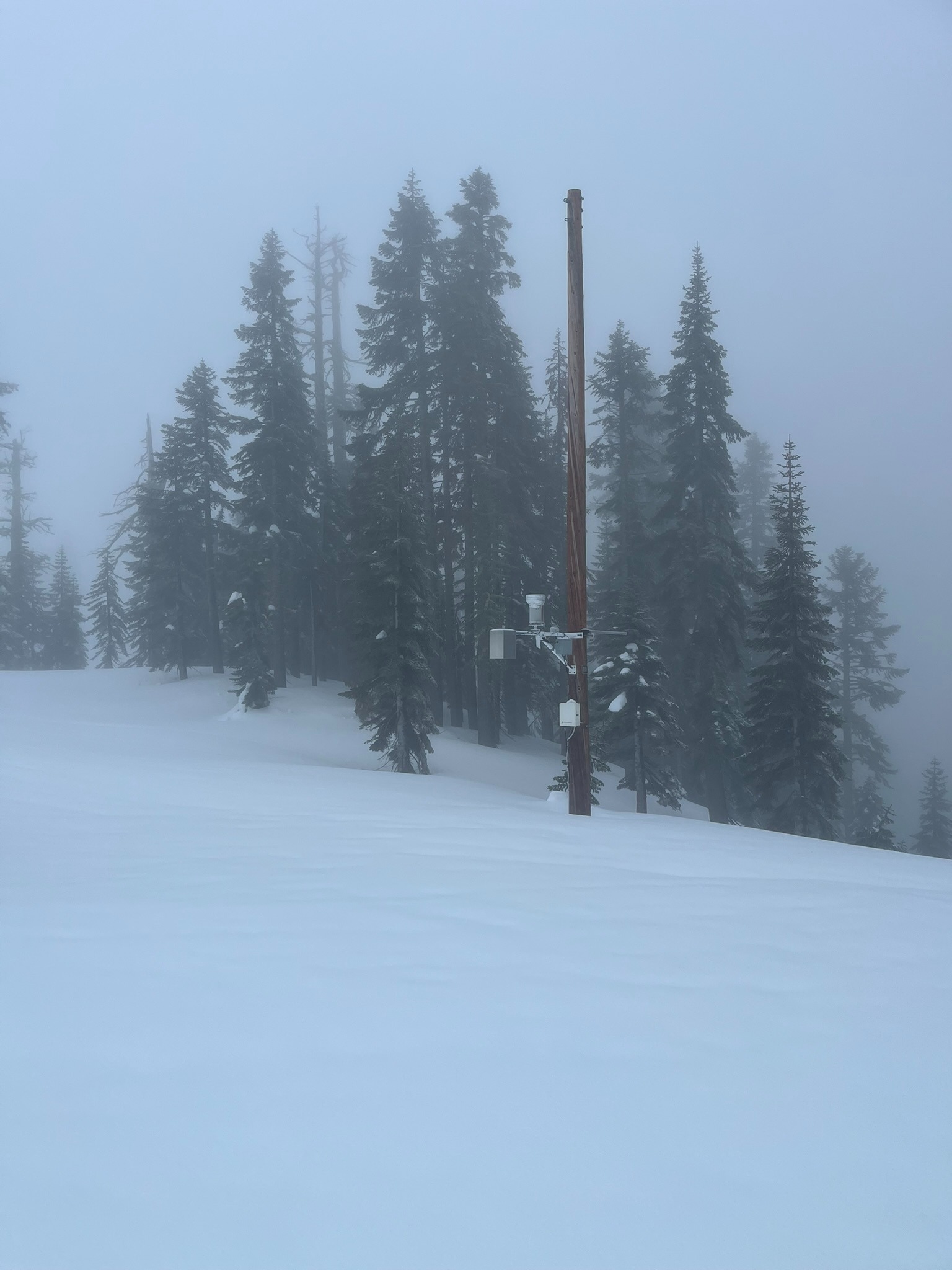
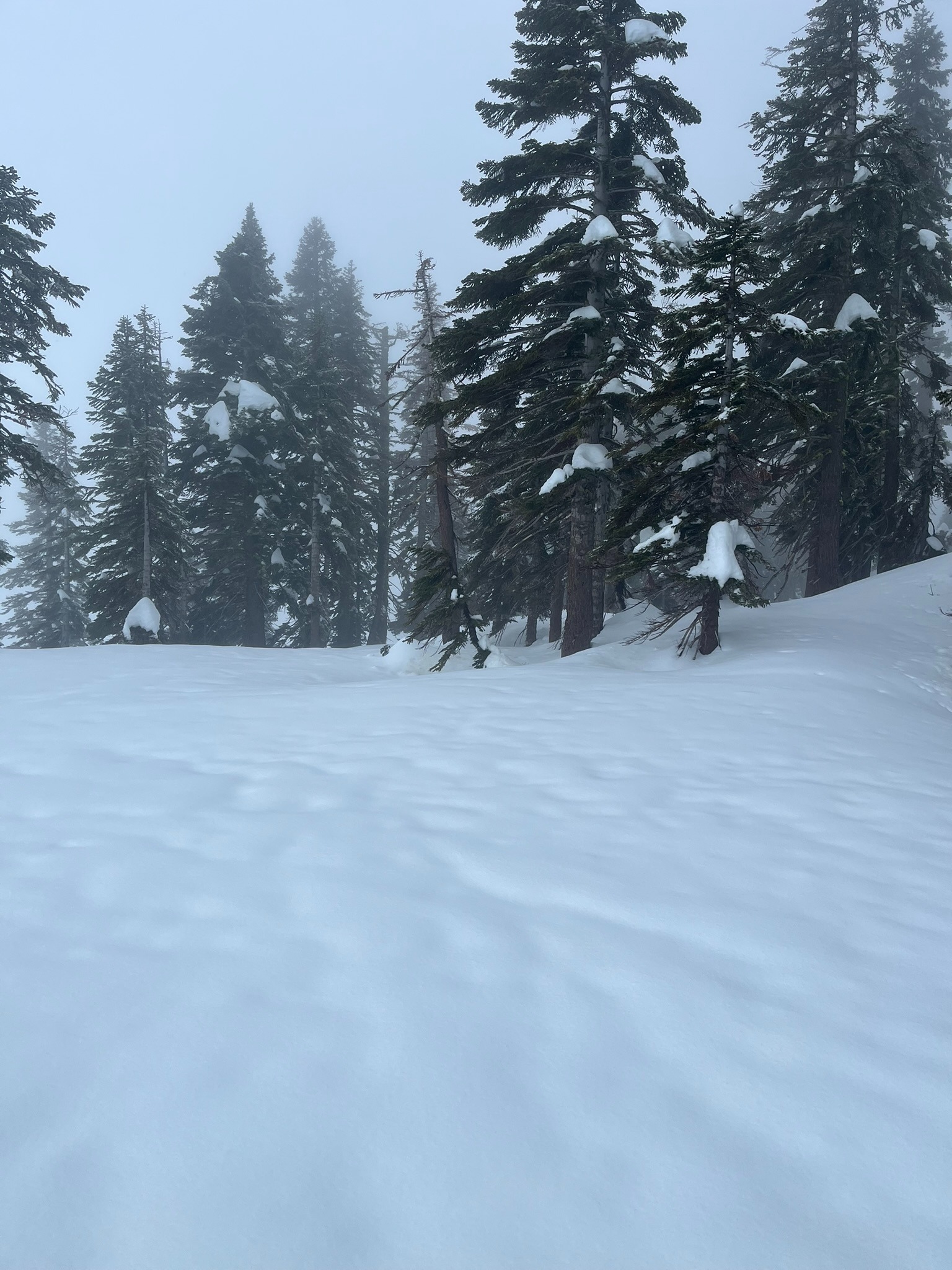
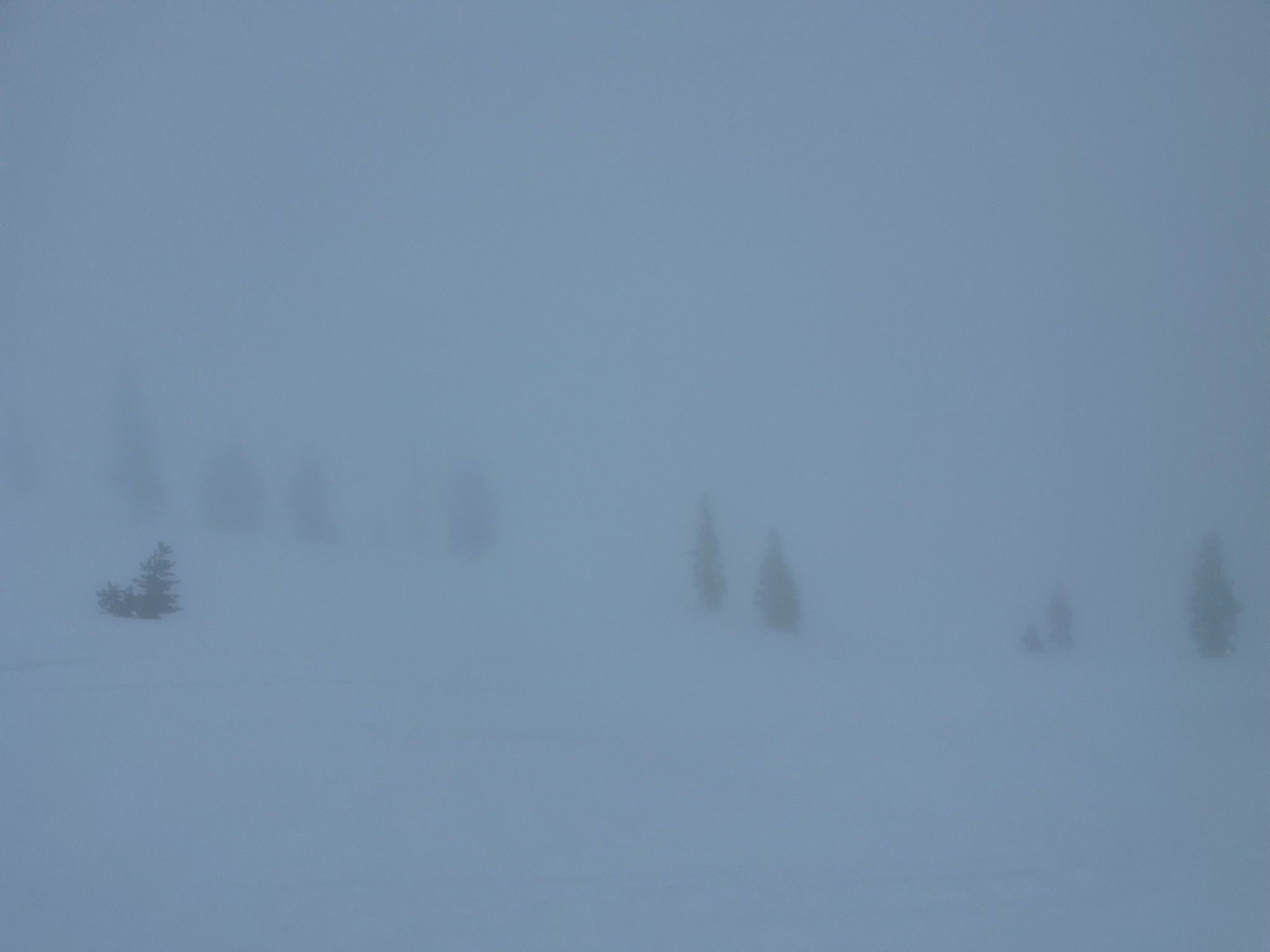
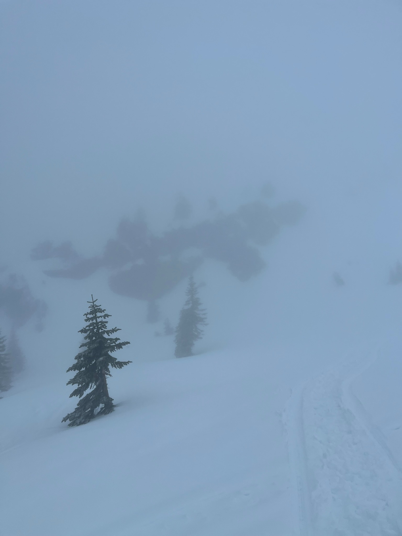
The glancing blow of a warm atmospheric river is delivering small amounts of precipitation to the forecast area. Up to 8,000 feet, this is arriving as rain. Above that point, it transitions from sleet to snow. Visibility and dense fog prevented travel above the treeline. Below and near the treeline, snow surfaces are soaked, rain runnels are forming, trees are dripping, and boot penetration is up to two feet deep. I did not observe any wet loose avalanche activity or roller balls. Since midnight, the Old Ski Bowl weather station has recorded 0.34 inches of SWE, slightly more than was called for in the forecast.
No signs of instability.Weather
- Air Temp
- 32-36
- Cloud Cover
- obscured
- Wind Loading
- light
- Rain Elevation
- 8,200
- Recent Snowfall
- Trace
- Snow Avail For Transport
- none
Fog, rain, and sleet limited visibility to less than a quarter of a mile. Temperatures hovered near freezing at the Old Ski Bowl weather station (7,617 feet) though light, misty rainfall persisted. Rain changed to sleet and snow at 8,200 feet.