
Quick report
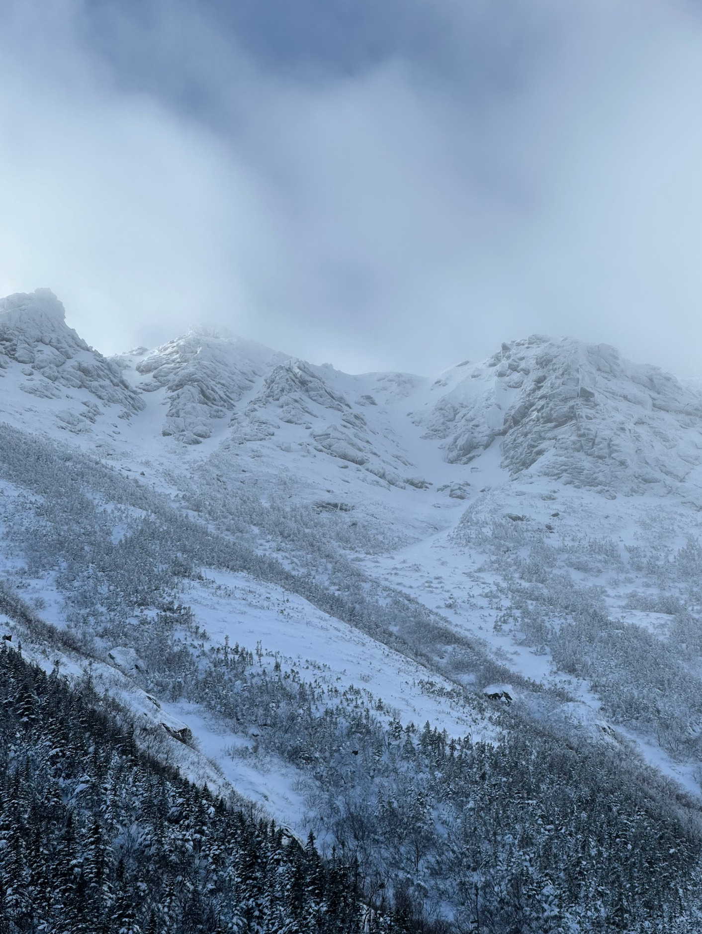
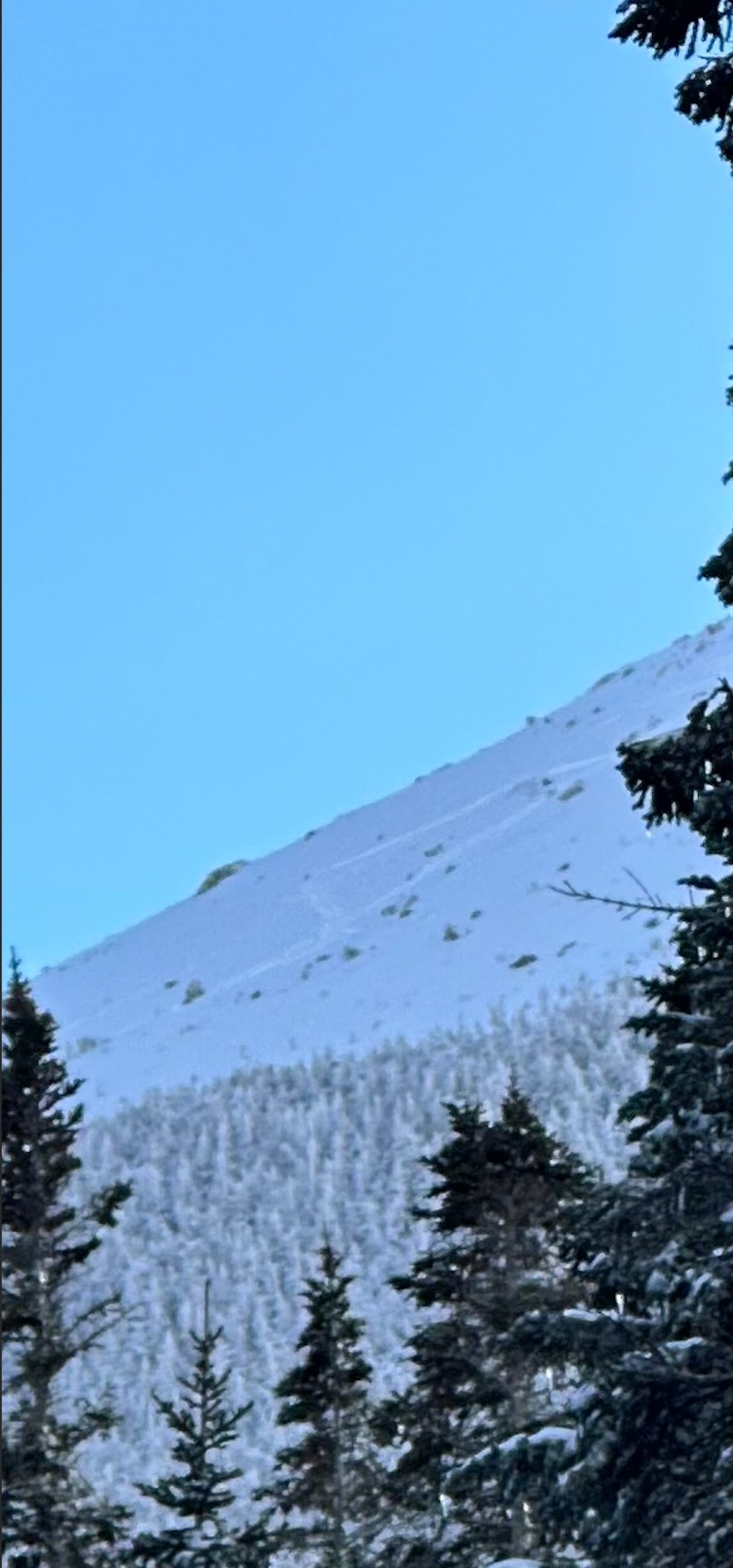
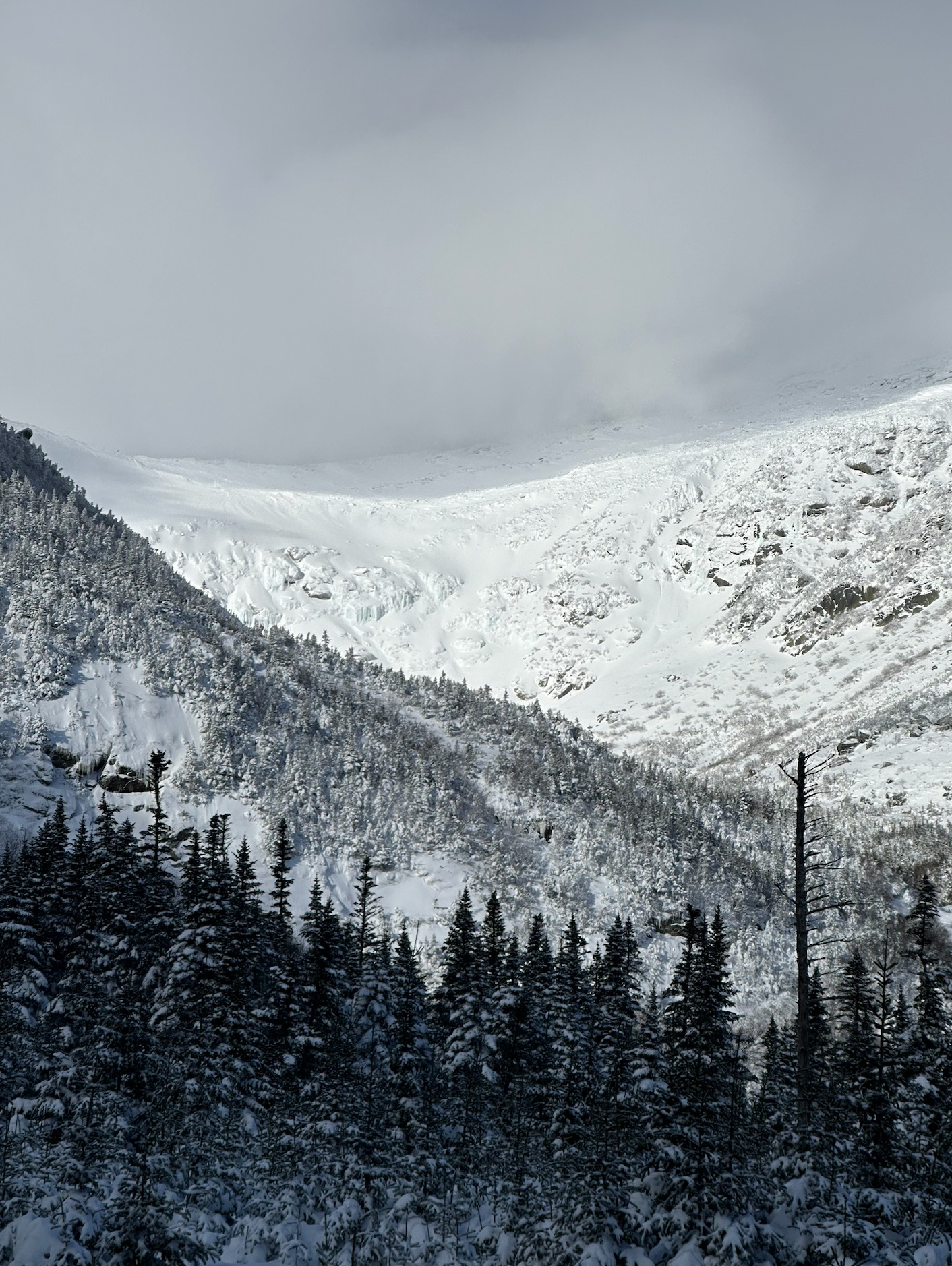
A good window of visibility allowed for some more clarity of snow distribution from two major snowstorms on 1/10 & 1/13, and continued upslope snow showers over the past several days. From what I could see today, it is clear that steep east-facing and north-facing slopes grew significantly in size from snow accumulation, wind loading, and avalanche activity. South-facing and southeast-facing slopes still seem incredibly shallow and underdeveloped in comparison. The exception seems to be in tight south-facing gully features that are highly sheltered from the wind, such as Damnation Gully in Huntington Ravine. In general, wind scouring was common across the top of most steep terrain features around 5000' in elevation. Most wind slabs were located in the middle of these terrain features between 4200' and 5000'.
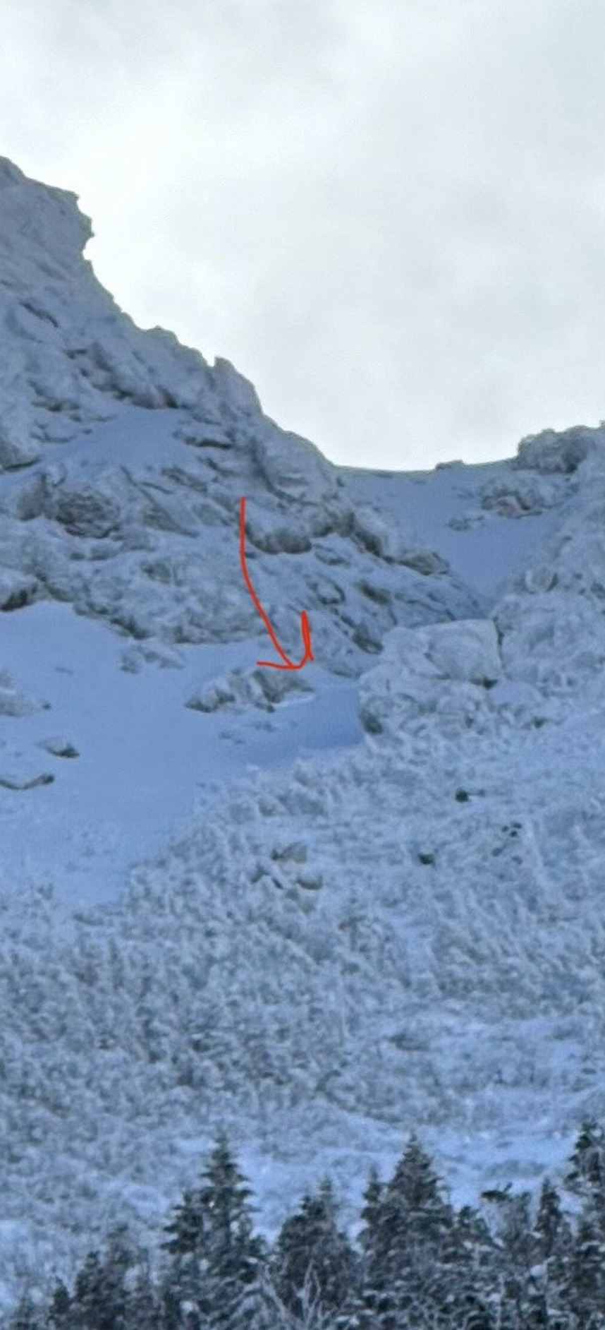
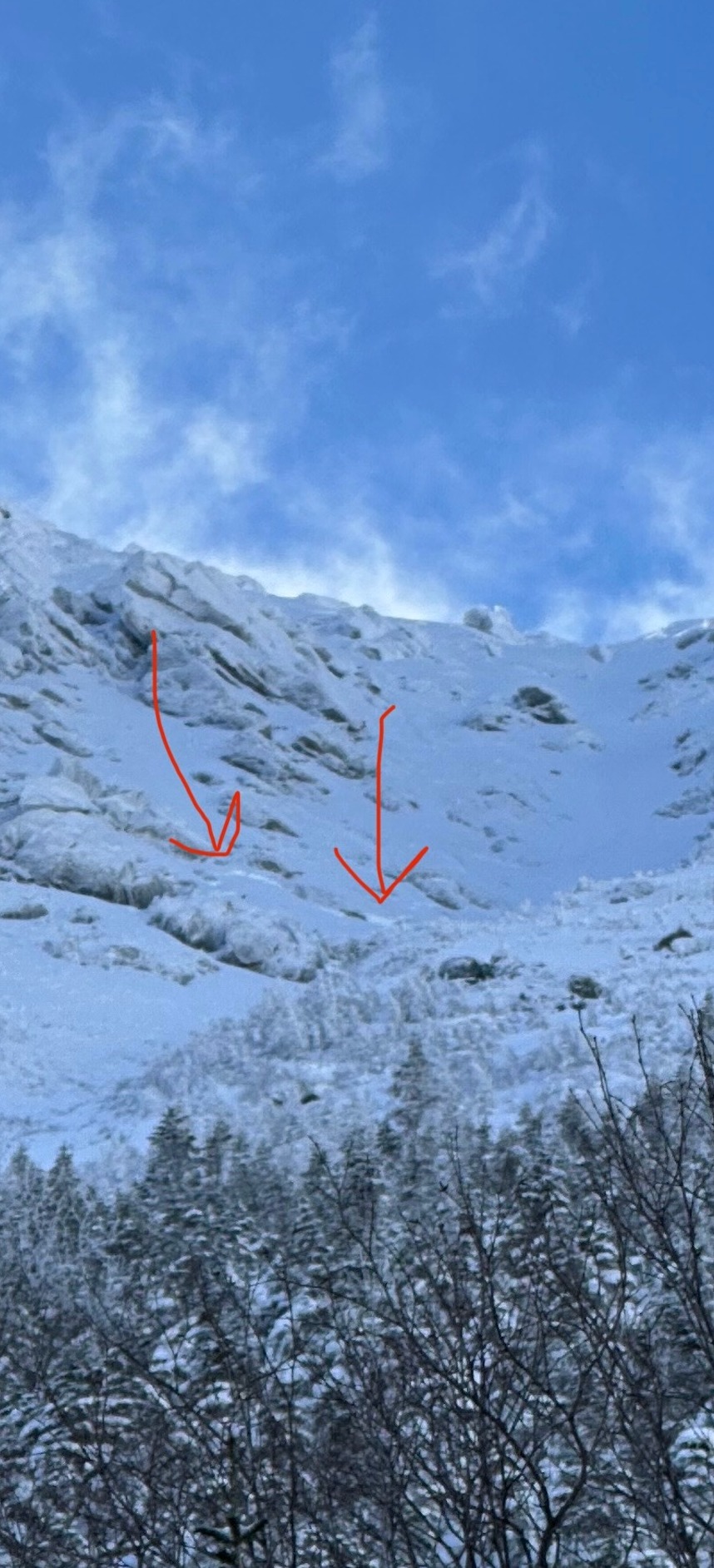
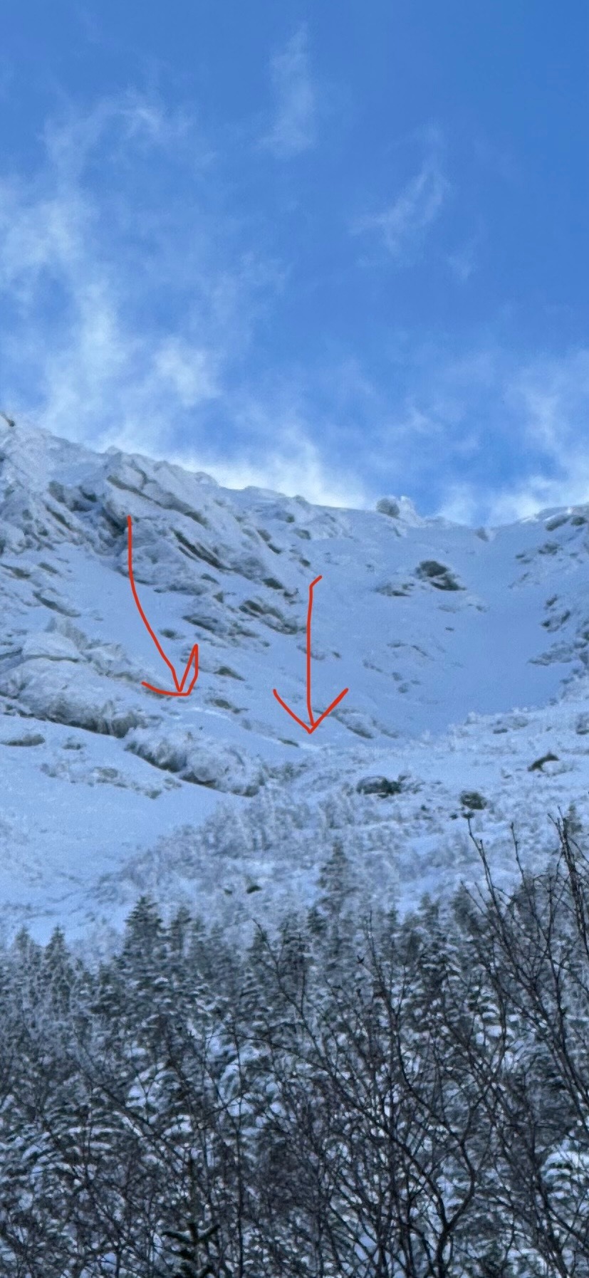
Small natural avalanches were seen in the middle sections of Cathedral Gully, Dodge's Drop, and the Stovepipe exit.
Today's conditions seemed aligned with the forecast, given the diversity of wind slab character across different aspects, and snowpack changes through different elevations. When asked what the snow was like today, it was easy to give an initial response of - "It depends."
Small recent natural avalanches were seen around 4700 feet in elevation on very steep north-facing slopes. No cracking or collapsing was observed.Weather
- Air Temp
- 9
- Cloud Cover
- few
- Wind Loading
- light
- Recent Snowfall
- 5
- Snow Avail For Transport
- moderate amounts
Skies were mostly clear with a few clouds throughout the day. Temperatures at 4000 feet stayed consistent around 10F today. Winds in the Tuckerman Ravine area were light and from the west and decreasing throughout the day.
Snowpack
The middle elevation snowpack, especially on lower angle slopes, is complex. A snow profile at 4000 feet on a north aspect revealed two distinct crust layers, a consistent layer of graupel grains, a layer of ice pellets, and the beginning stages of near-crust faceting. Overall, the snowpack in this area did not demonstrate any propogation propensity, despite harboring multiple layers of concern. The snowpack structure that is shown in the SnowPilot image was consistent between 3800 feet and 4300 feet in elevation. Probing and digging in multiple areas confirmed the presense of both distinct crust layers from the tail end of the 1/10 (~55cm down) and 1/13 snow storms (~110cm down). Above this elevation, it is likely that steep terrain, recent natural avalanches, and a change in precipitation types from previous storms are all contributing to a variable snowpack different from this specific example.
Cold temperatures and buried crusts are facilitating the beginning of the faceting process in a couple of the deeper layers. Though this is weakening the snowpack structure, the snow above these layers is not very cohesive and lacks the ability to effectively translate energy.
Please note that this structure is not representative across all terrain, but it is worth considering due to the lighter winds and additional new snow coming in on Tuesday.