
Quick report
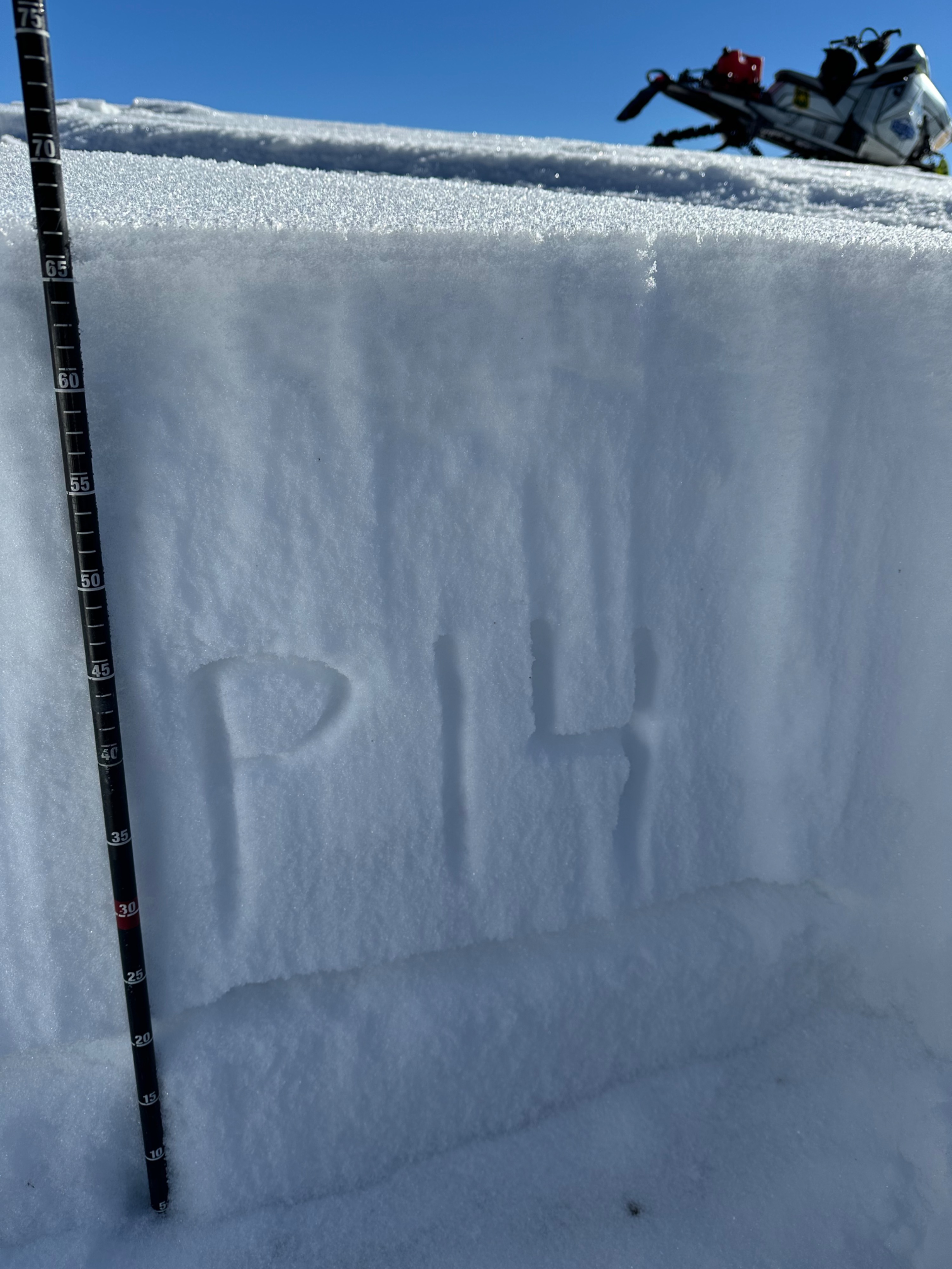
We found an average snowpack depth above 8,500 feet to be around 2.5-3 feet. The snowpack's top 8-10 inches is a mix of near-surface facets (formed by dry weather and temperature swings on old surface snow) and surface hoar. When we first start loading this surface with new snow, it will avalanche easily. It will be harder to tell how much snow will turn the tables toward deeper instabilities (noted in pit) but I'd guess not much. It is worth keeping track (and steering clear of after any loading event) any old avalanche areas and crowns on deeper layers as they will likely refill and repeatedly avalanche. Snowpit near Blind Bull wx station, HS 75 cm (2.5'), ECTP14 and ECTP12 on 12/1 layer (November drought layer) about 1.5 feet deep.
Weather
- Cloud Cover
- clear
- Wind Loading
- none
- Recent Snowfall
- Nil
Clear skies, calm winds, inverted temps
Snowpack
The top 6-8 inches of the snowpack have faceted due to weeks of dry weather and will make for a sensitive interface when buried by incoming snowfall this weekend and next week. ~2.5-3 foot-deep snowpack with propagation in pit (HS 75 cm (2.5 feet) ECTP12 & ECTP14) down 1.5 feet on 12/1 layer.
Avalanche
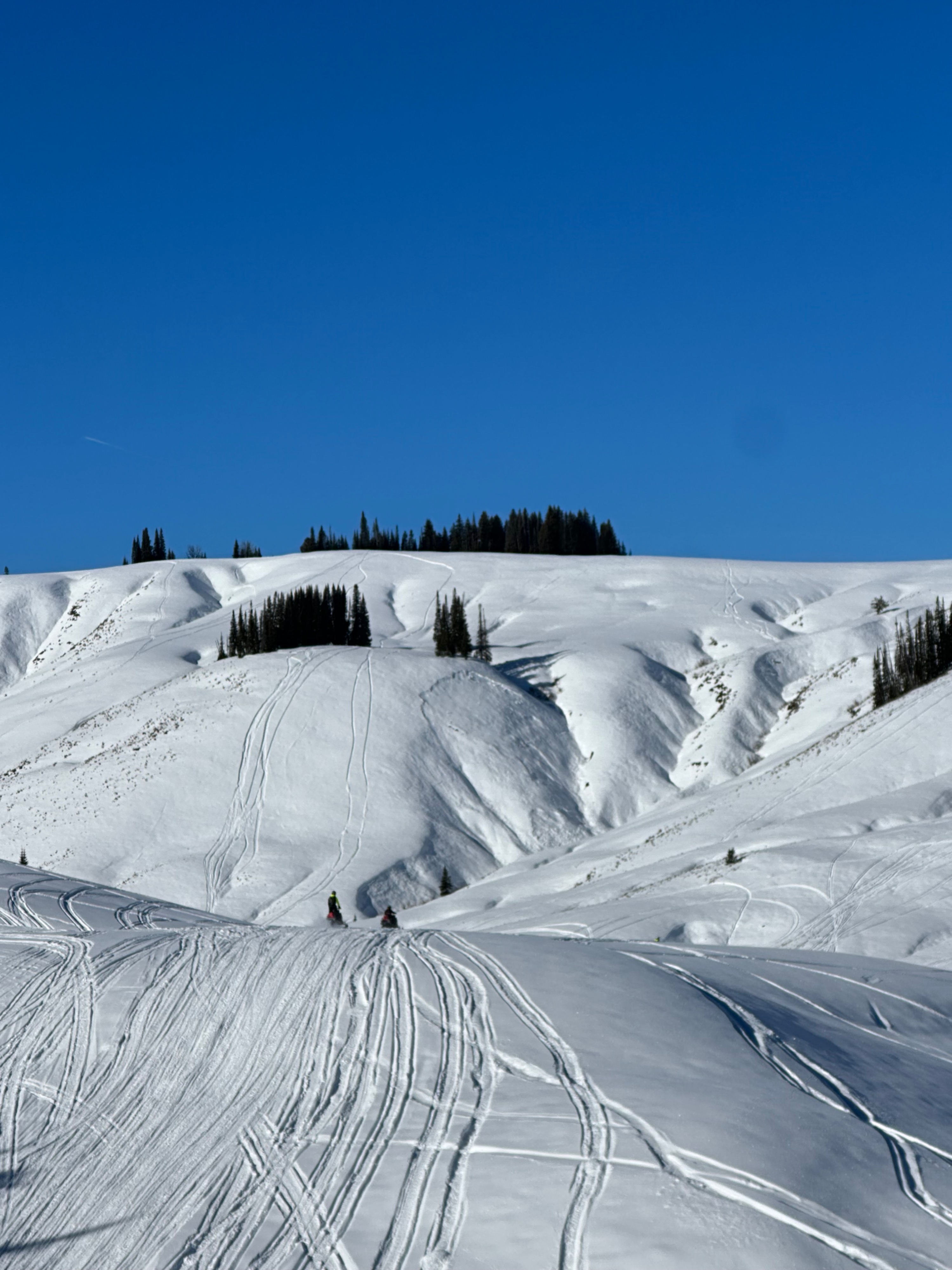
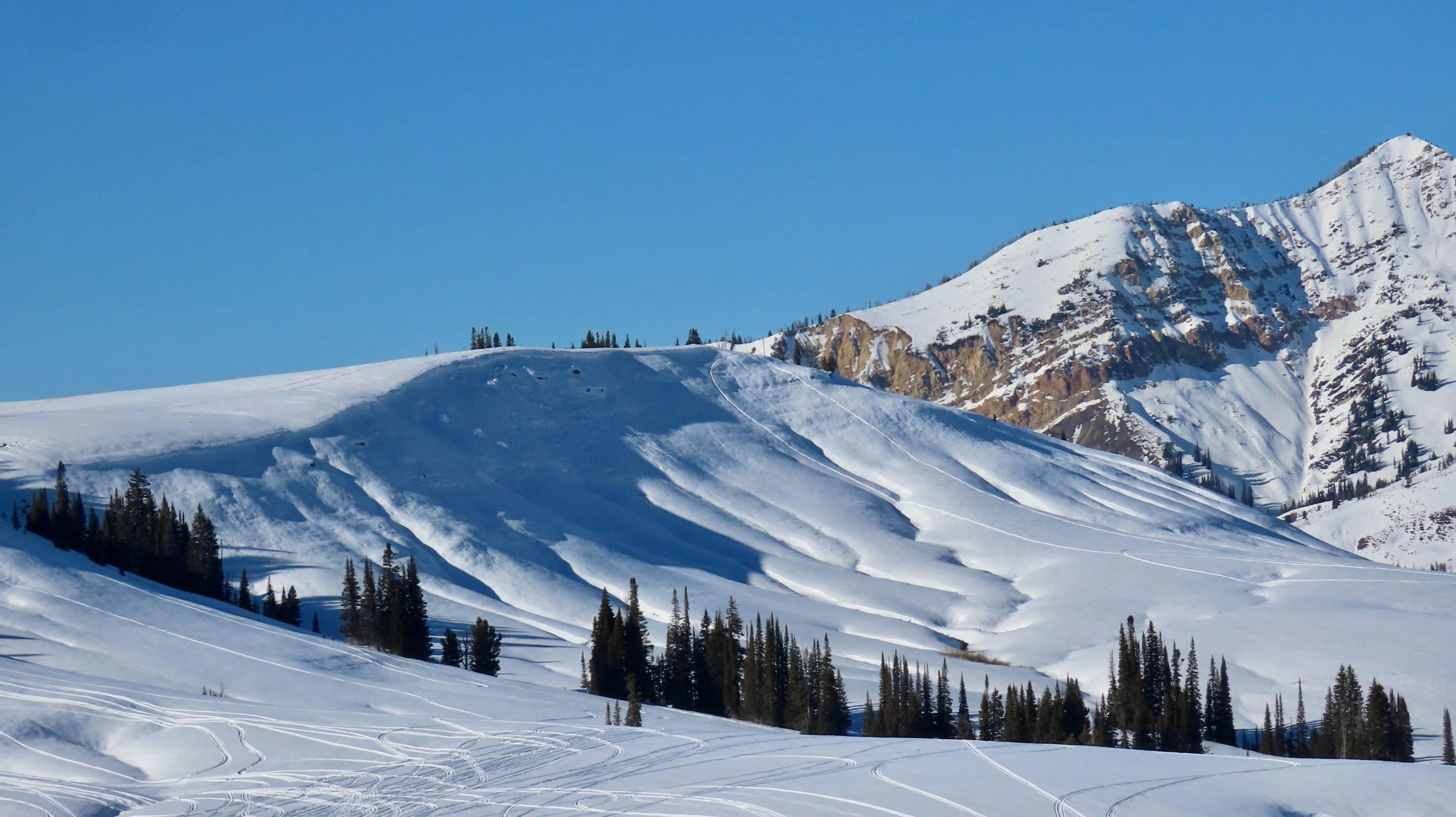
Noted several D1.5-D2 avalanches over a handful of days old (refilled with snowfall from 12/24) on east aspects, appearing 1-2 feet deep and ~9,000 feet.