
Quick report
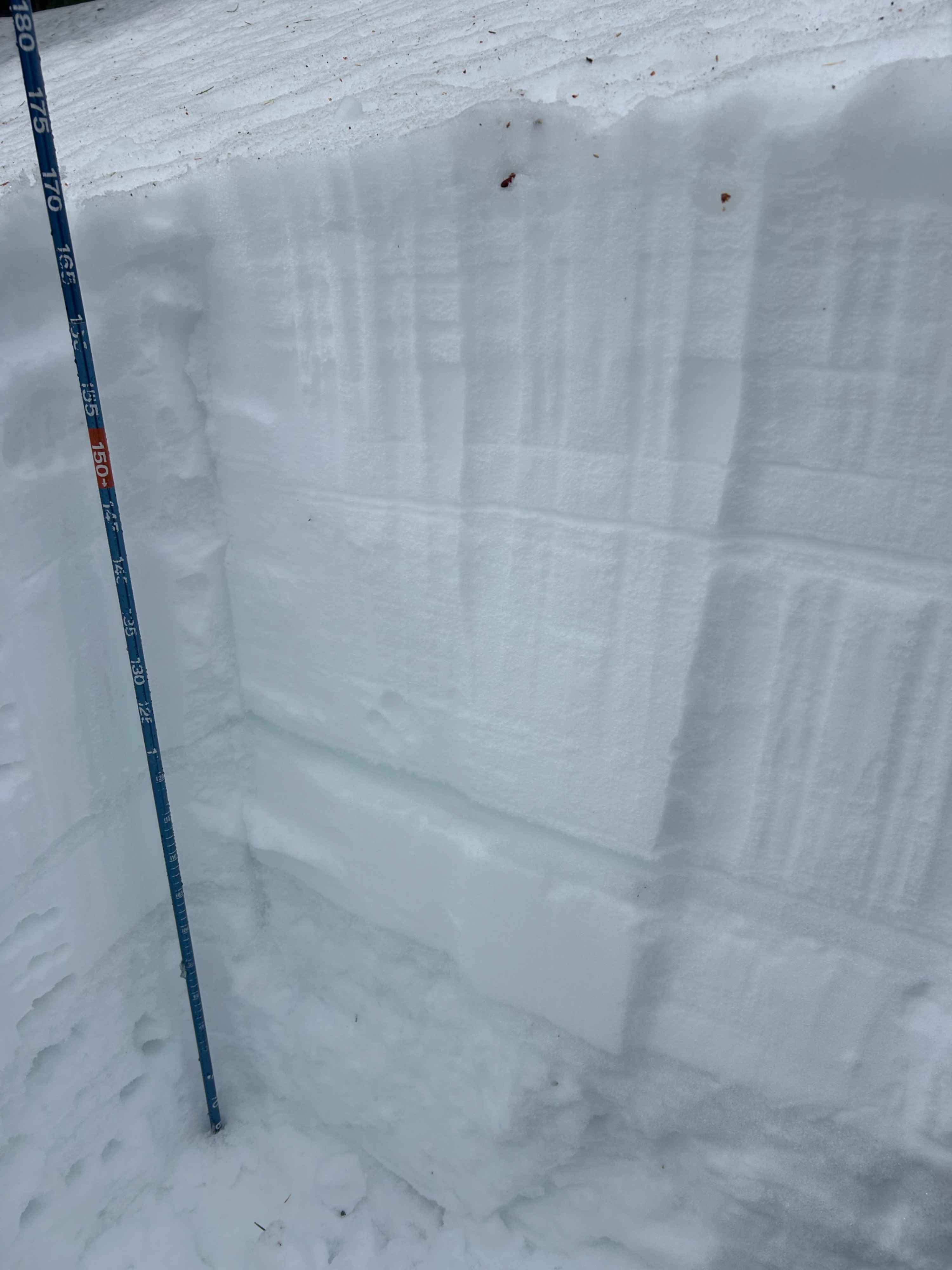
On an East aspect at 9500' I dug in to see how deep the rain had infiltrated the snowpack. I found that it had made it at least to the 2/17 MF layer, with 2-3 cm of MFsl sitting on top of this layer. - HS 170cm - 95cm to the 2/17 MF layer with facets directly beneath the crust. I do not think the rain penetrated below this layer. (see profile pic) - 110 cm to the 2/10 MF layer with large facets below. This layer went at least 30cm before I stopped digging. Below the 2/10 layer is 4F/1F facets that feel like they are consolidating in something like ice chunks. Theory is that the rain introduced heat and thermal gradients pulling moisture from the ground into this region of the pack? It felt silly, as the snow felt very consolidated here, but I tried an ECT on this profile and result was ECTX. I observed no natural or human triggered avalanches anyway along the crest. The lighting was flat, but through my binos I saw nothing other than some rollerballs in the afternoon when the clouds finally lifted.
Weather
- Air Temp
- 45+
- Cloud Cover
- broken
- Wind Loading
- none
- Snow Avail For Transport
- none
Winds were honking(!) this morning, but were dying down by the afternoon. Temps were warm in the sun when it came out, making us very thankful for the cloud cover.
Snowpack
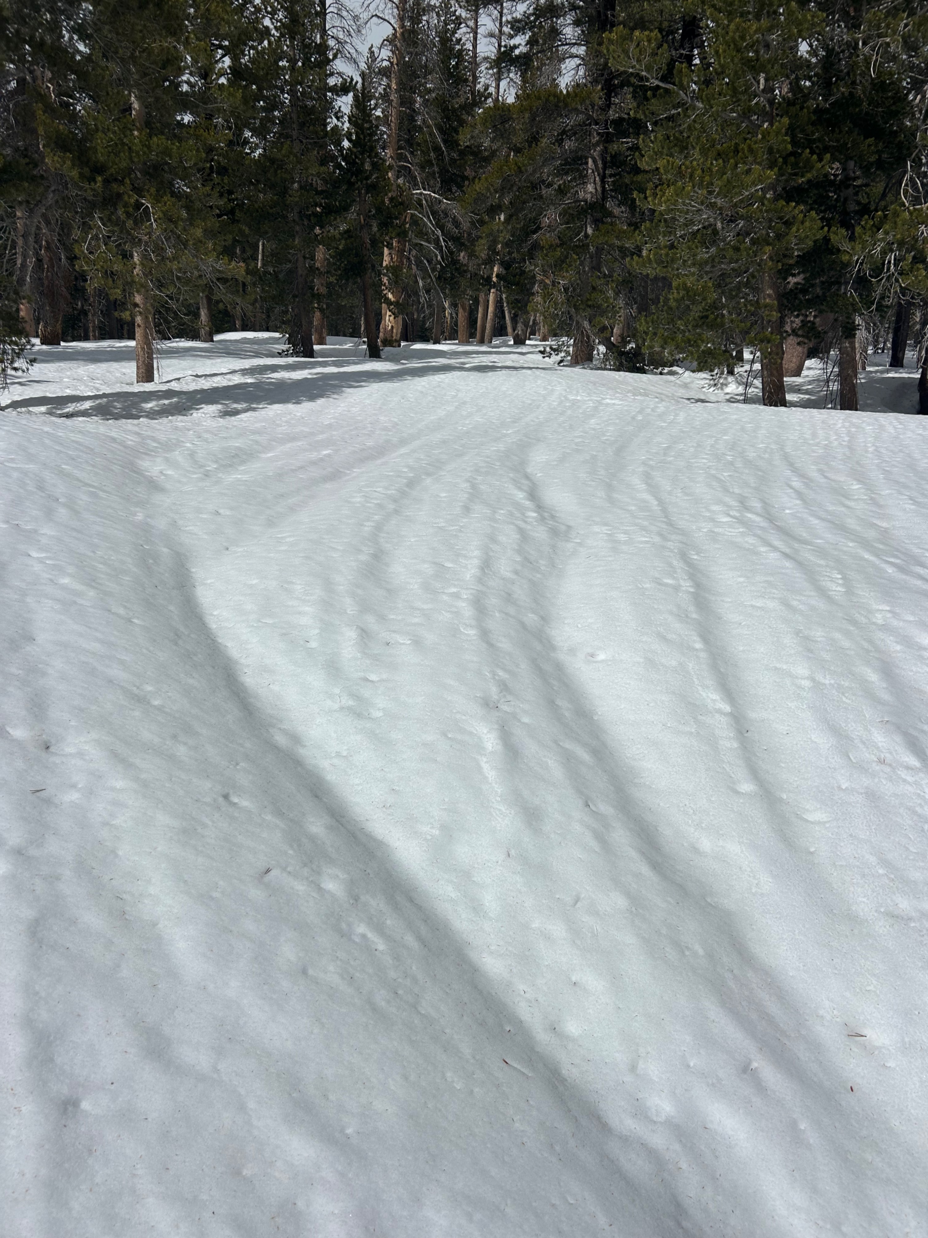
The snowpack is wet and saturated! All of this rain and heat has made its way deep into the snowpack and has increased settlement considerably, with runnels on all surfaces, and boot and ski pen in the top 15 cm and 4 cm of the snow respectively. Wet loose instabilities on the surface, and due to the persistent grains still lingering down there, had us concerned for the persistent slab hazard for the day. We stayed on low angle to mitigate this. If the sun came out, the problems would have been really present.