
Quick report
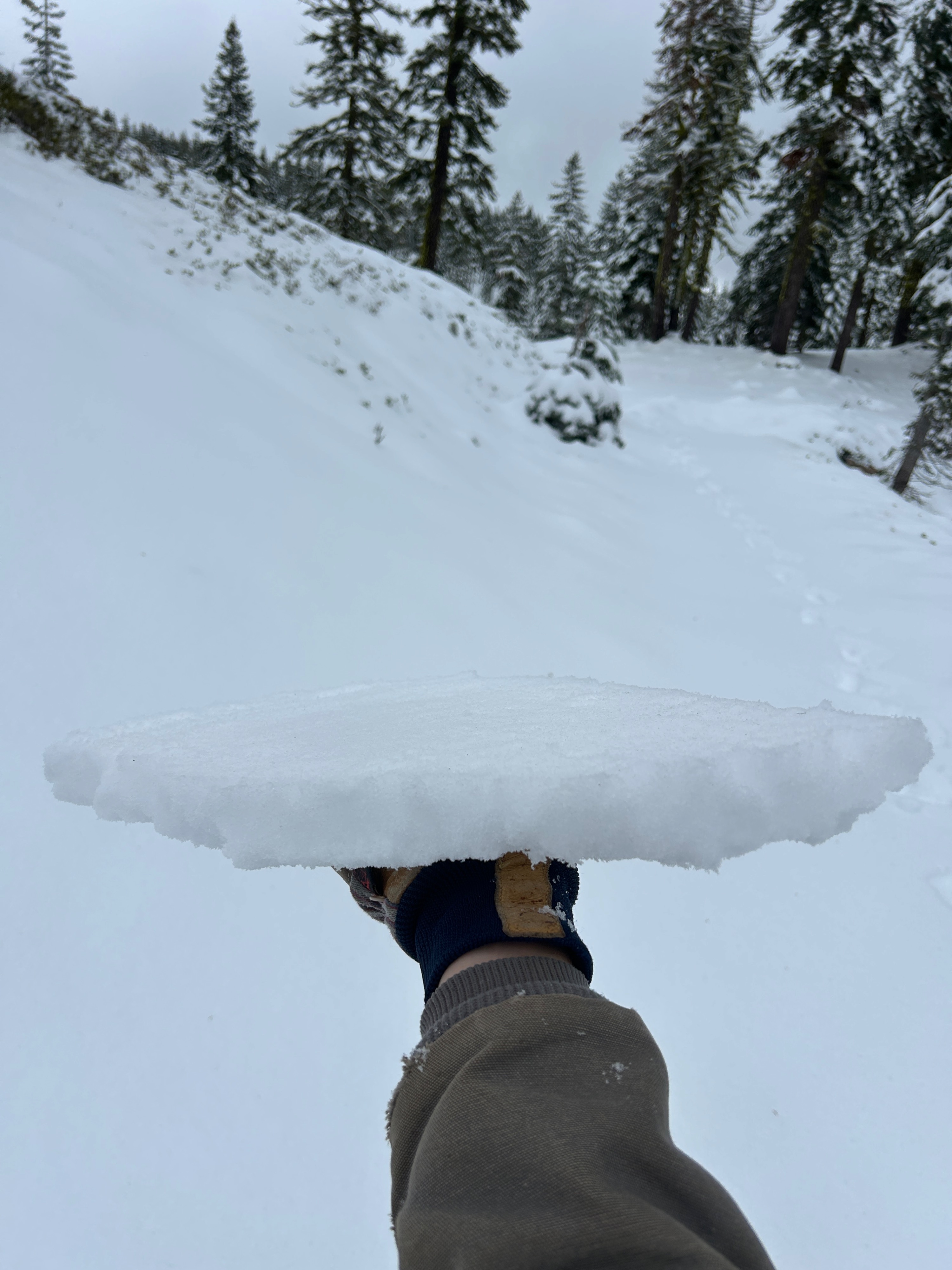
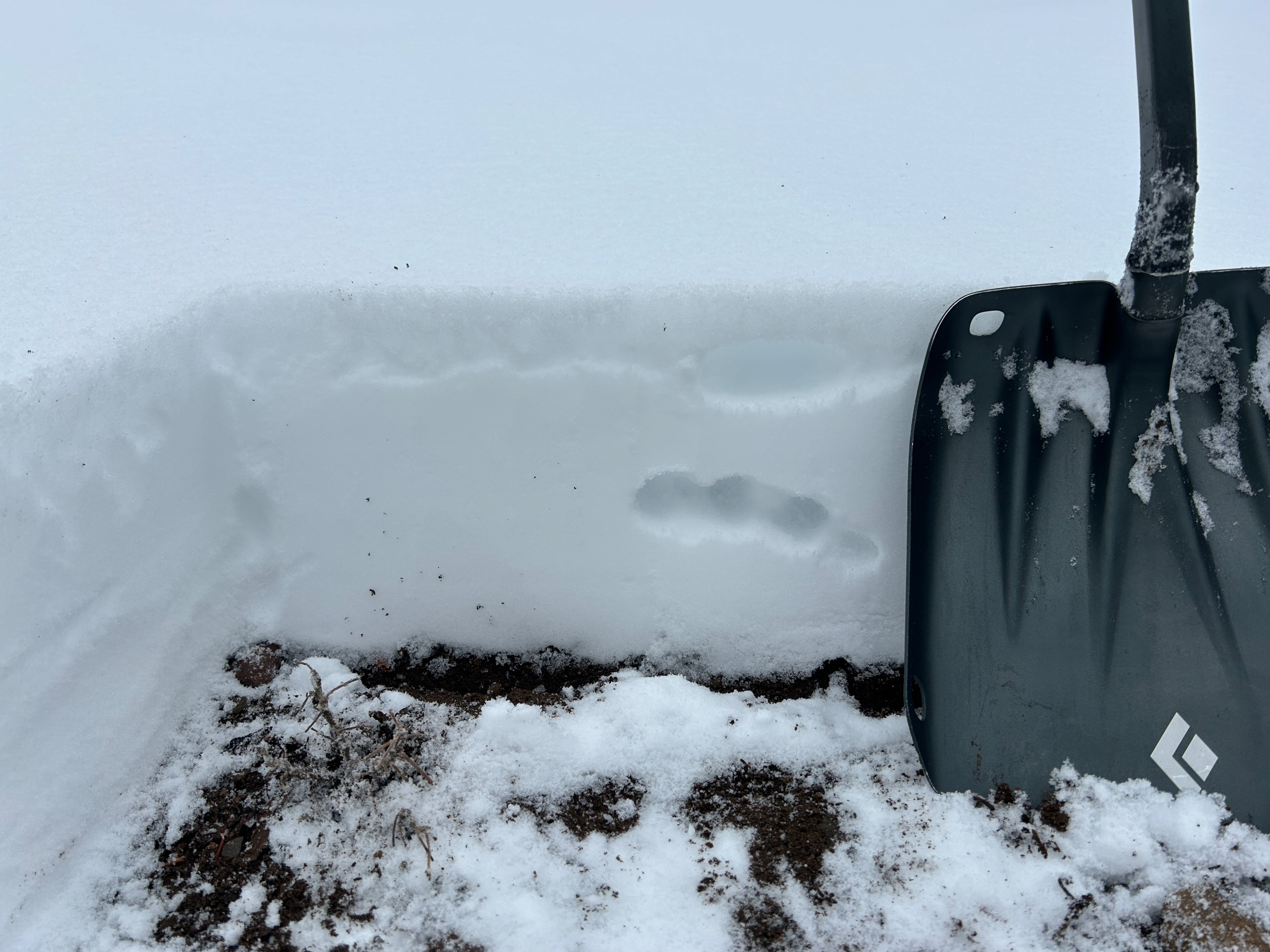
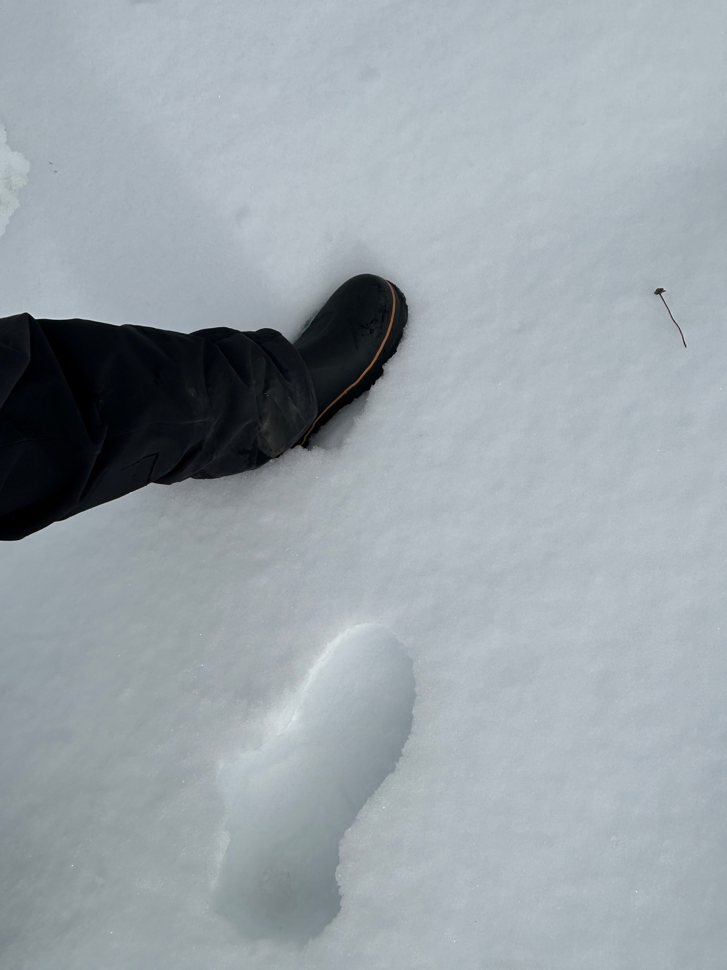
Yesterday’s snowfall didn’t stay pristine for long. A 1-inch think melt freeze crust has formed on all aspects below treeline. It’s safe to assume it exists near and above treeline too. Though, no observations have confirmed this. The crust most likely formed from mixed precipitation particles deposited during the end of the storm, along with a drop in relative humidity and freezing temperatures overnight. While it may be less than ideal, the crust is very robust and should support the weight of a new load. More on that to come.
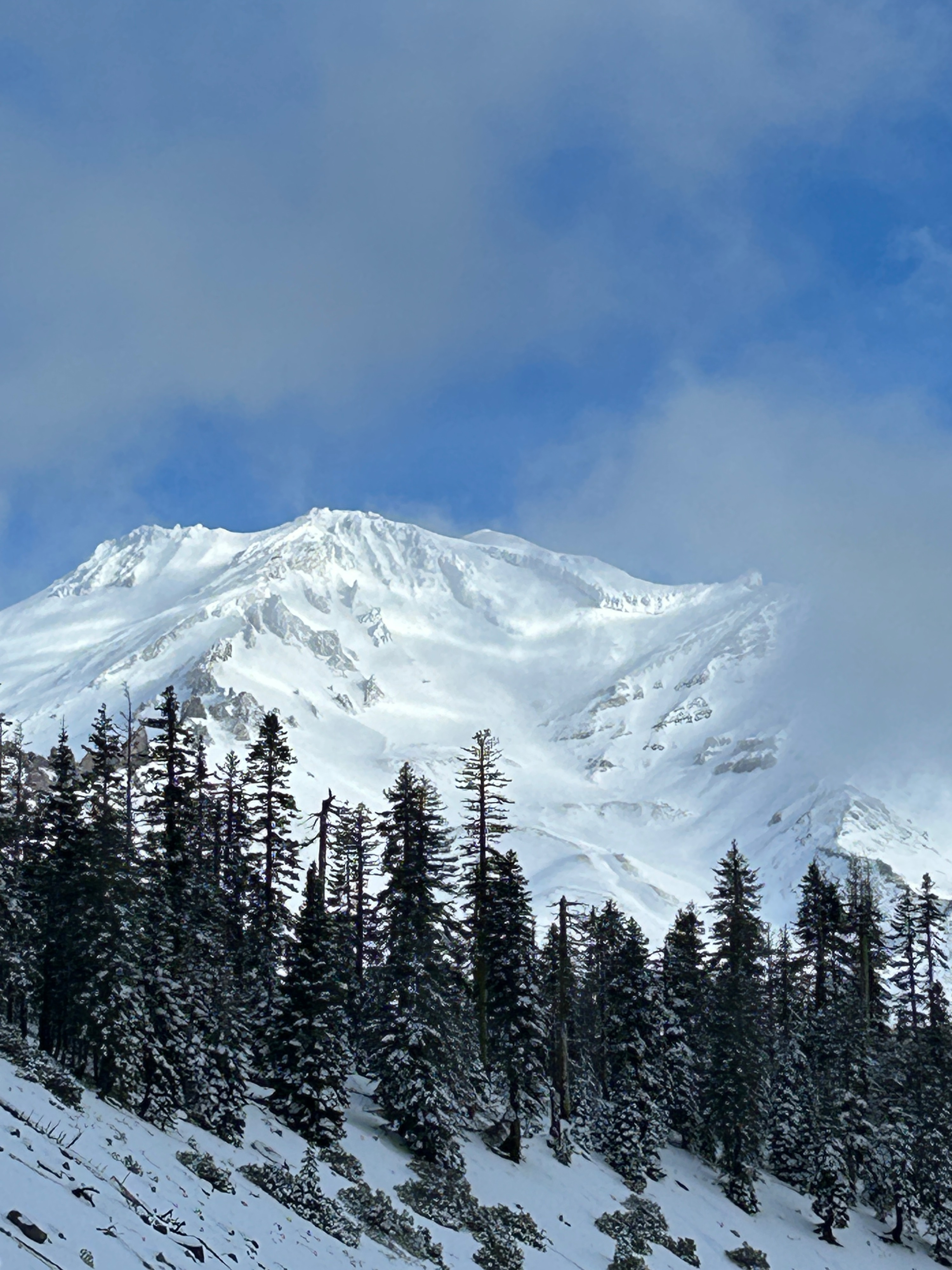
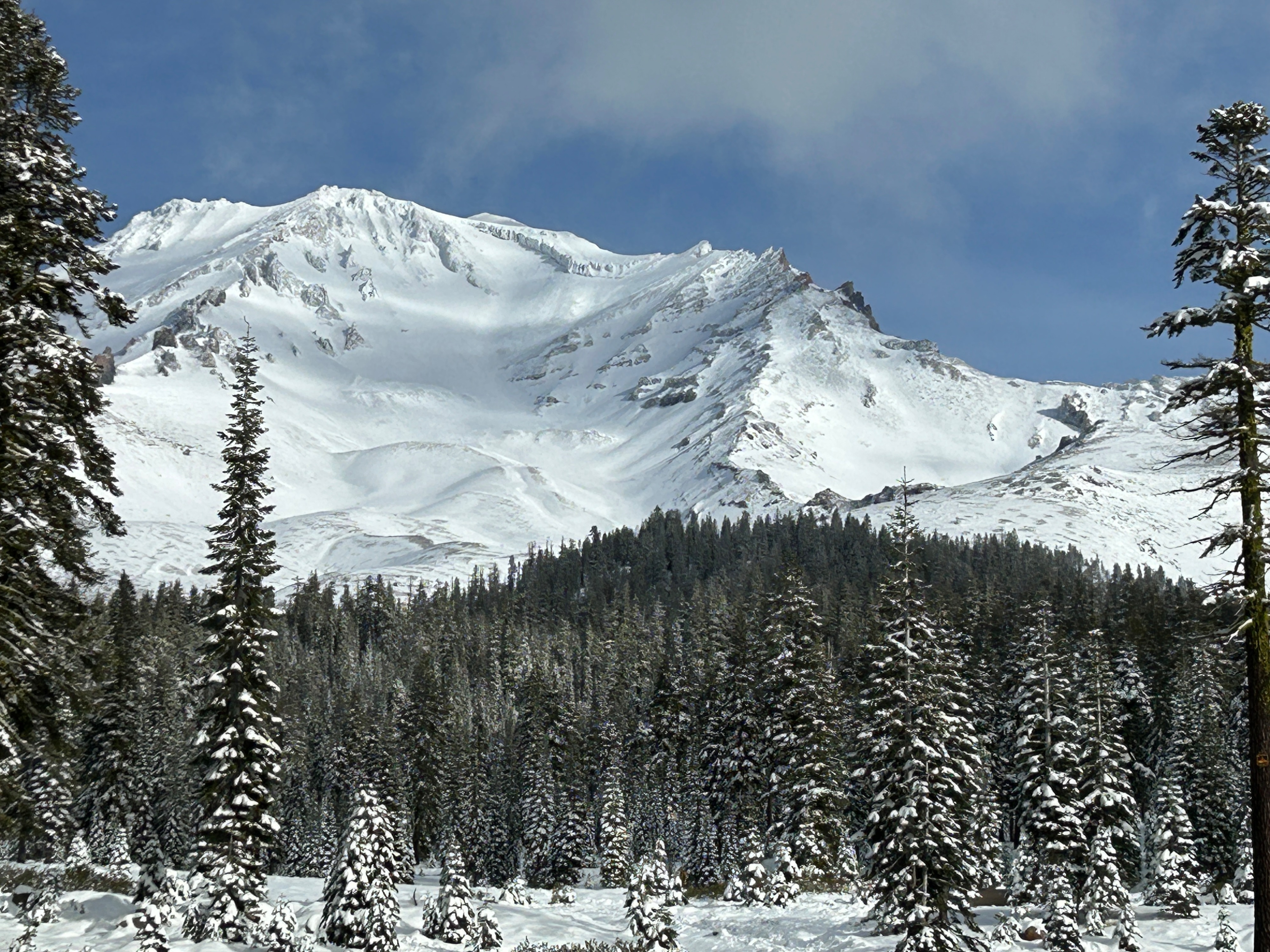
From afar, Mount Shasta’s coverage looks significantly better than it did three days ago, especially above 10,000 feet, but it will take a few more low-elevation storms to get back in business. In general, Shasta’s surfaces looked windswept, firm, and variable.
Weather
- Air Temp
- 27
- Cloud Cover
- broken
- Wind Loading
- none
- Recent Snowfall
- 0
- Snow Avail For Transport
- small smounts
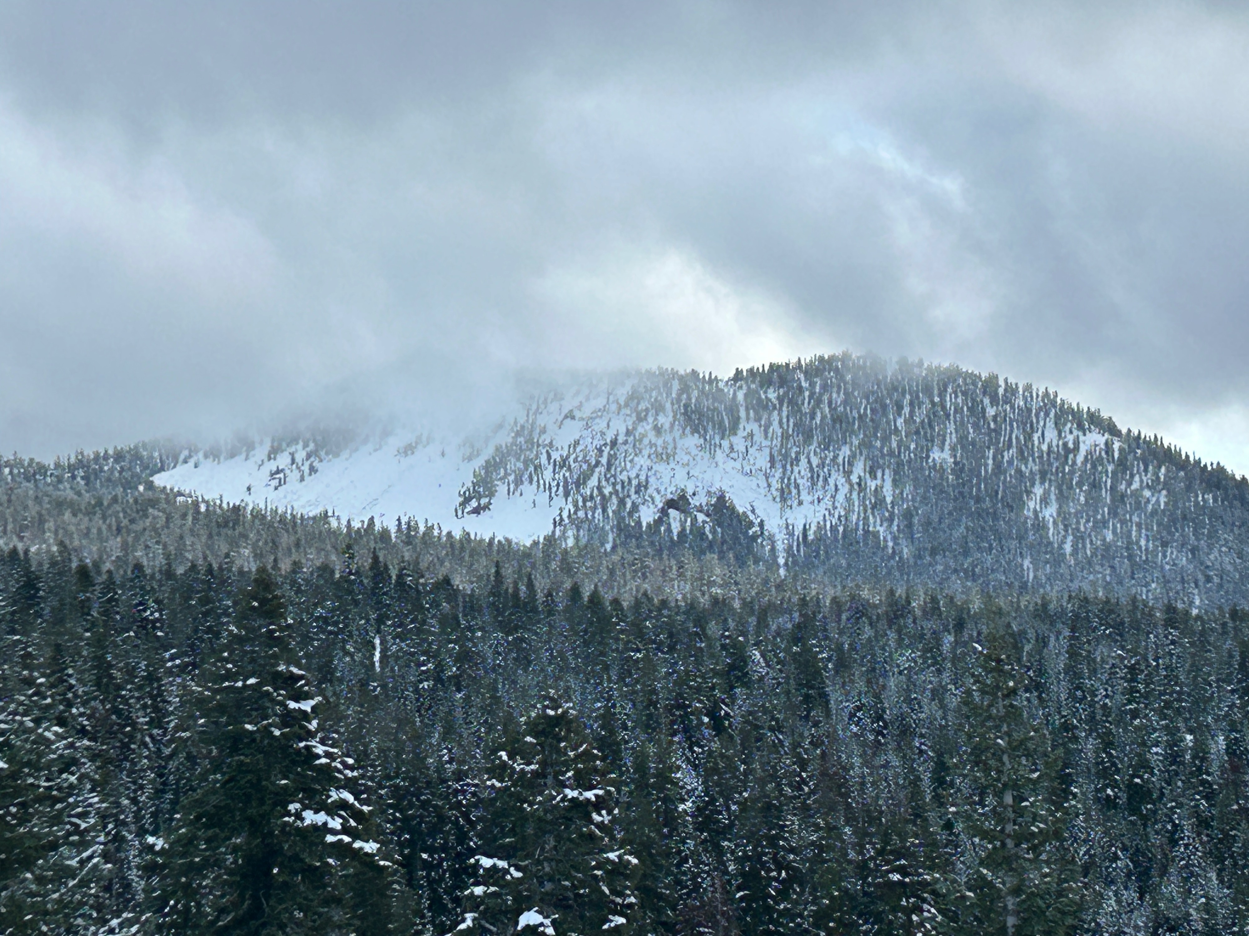
The morning gave way to mostly clear skies, light winds from the west, and below freezing temperatures. As the day progressed, clouds built and winds increased, trending toward a stormy period.
Snowpack
- 9 inches of new snow
- 1 inch think melt-freeze crust over soft 4F snow