
Warm Springs Ck drainage - out of bounds terrain on Bald Mtn
Quick report
- Cracking
- specific
- Collapsing
- specific
Despite another hot, sunny day following the 5th consecutive night with temperatures staying above freezing, we saw minimal natural wet loose avalanching and no natural wet slabs. The snowpack was unsupportable on skis in places, and you fell to the ground when on foot. We experienced some snowpack collapsing on gentle slopes and had no interest in entering avalanche starting zones.
Multiple collapses that appeared to involve the basal facets, but the soggy snowpack made it difficult to pinpoint the layer that collapsed. The largest collapse traveled about 40 feet. This area receives some ski traffic, and long-running collapses are much less frequent once skiers begin consistently venturing into the out-of-bounds terrain in this area. Cracking was only observed with collapses.Weather
- Air Temp
- 46 (from Bald Mtn weather station)
- Cloud Cover
- few
- Wind Loading
- previous
- Rain Elevation
- N/A
- Recent Snowfall
- 0
- Snow Avail For Transport
- none
The W-NW breeze was cooling the snow surface. Previous wind loading refers to the general trend (a lot of MOD-STR W+NW wind events) over weeks/months.
Snowpack
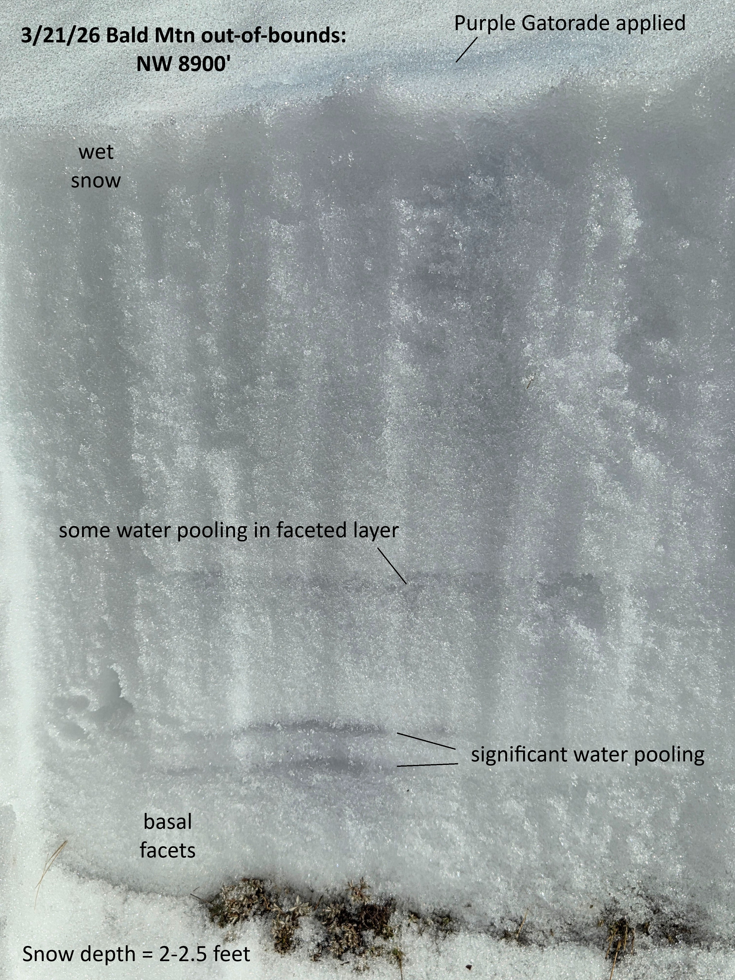
We targeted heavily wind-affected terrain on shady aspects above 8500'. Prior to the ongoing heat wave, this terrain had a dense, shallow snowpack due to frequent loading and scouring by W-NW wind events. Snowpack on NW at 8900':
HS=50-75cm. Ski pen=5-30cm (trap door feeling when getting down to 30cm). Boot pen=at or near ground.
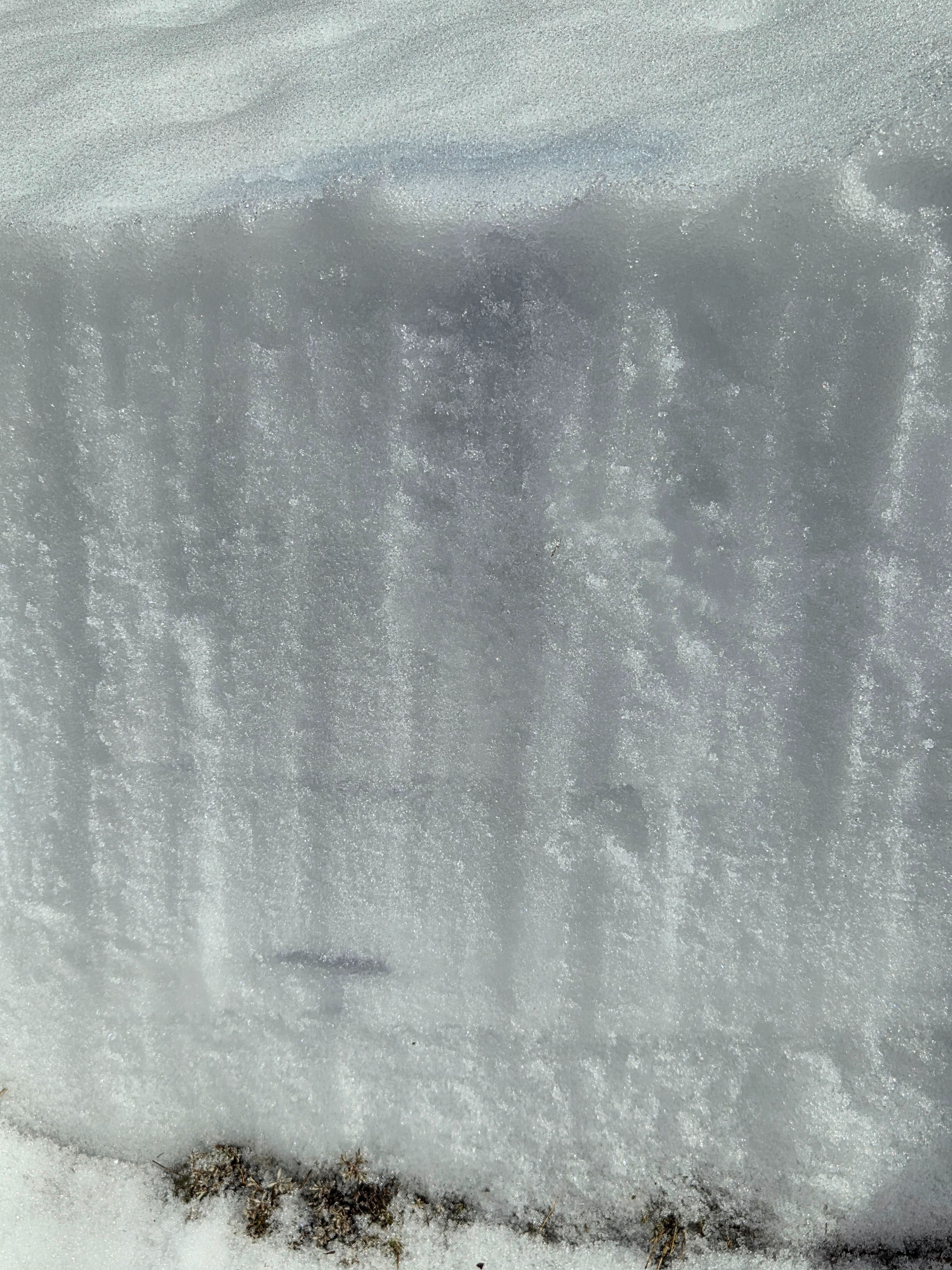
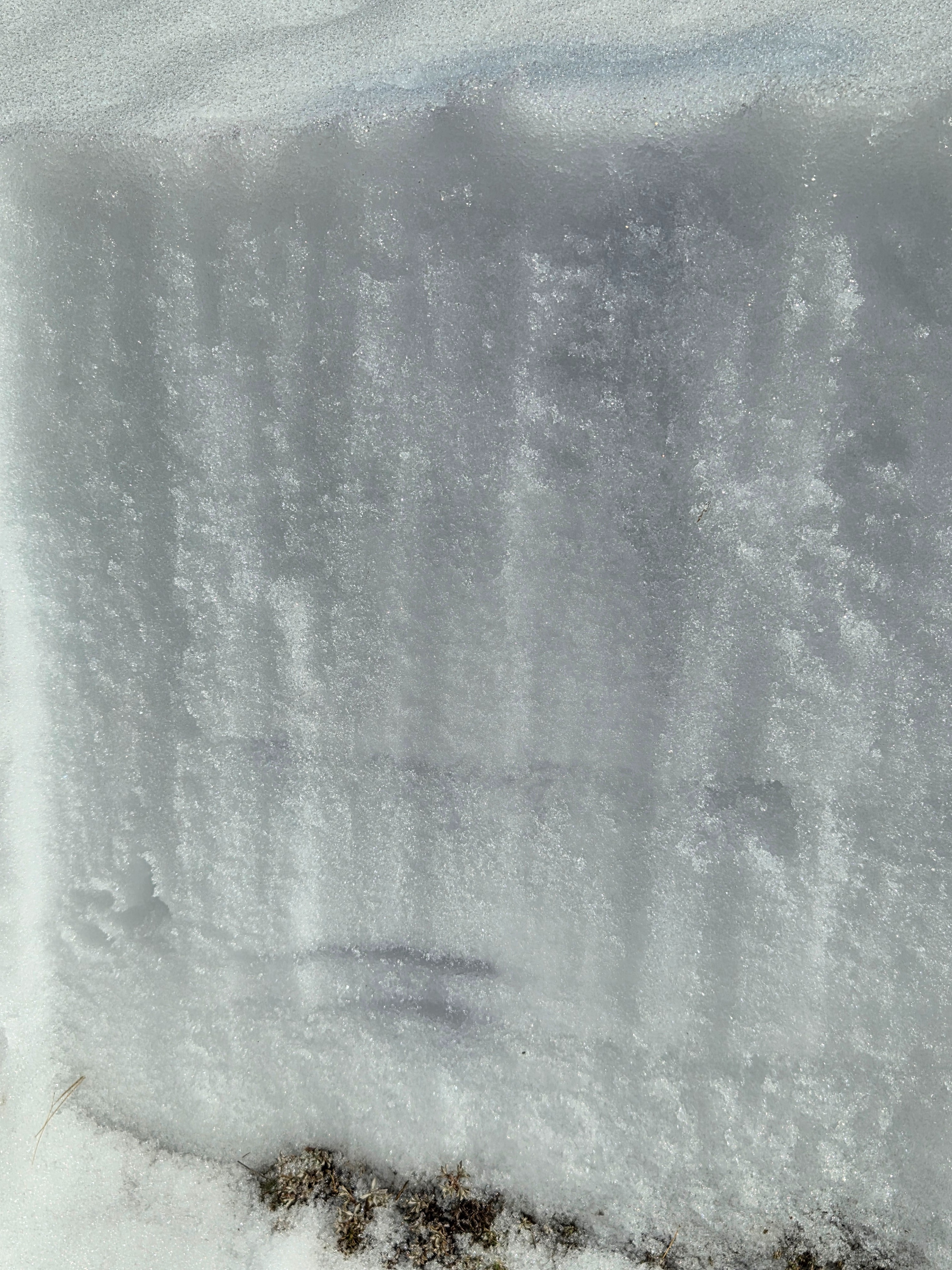
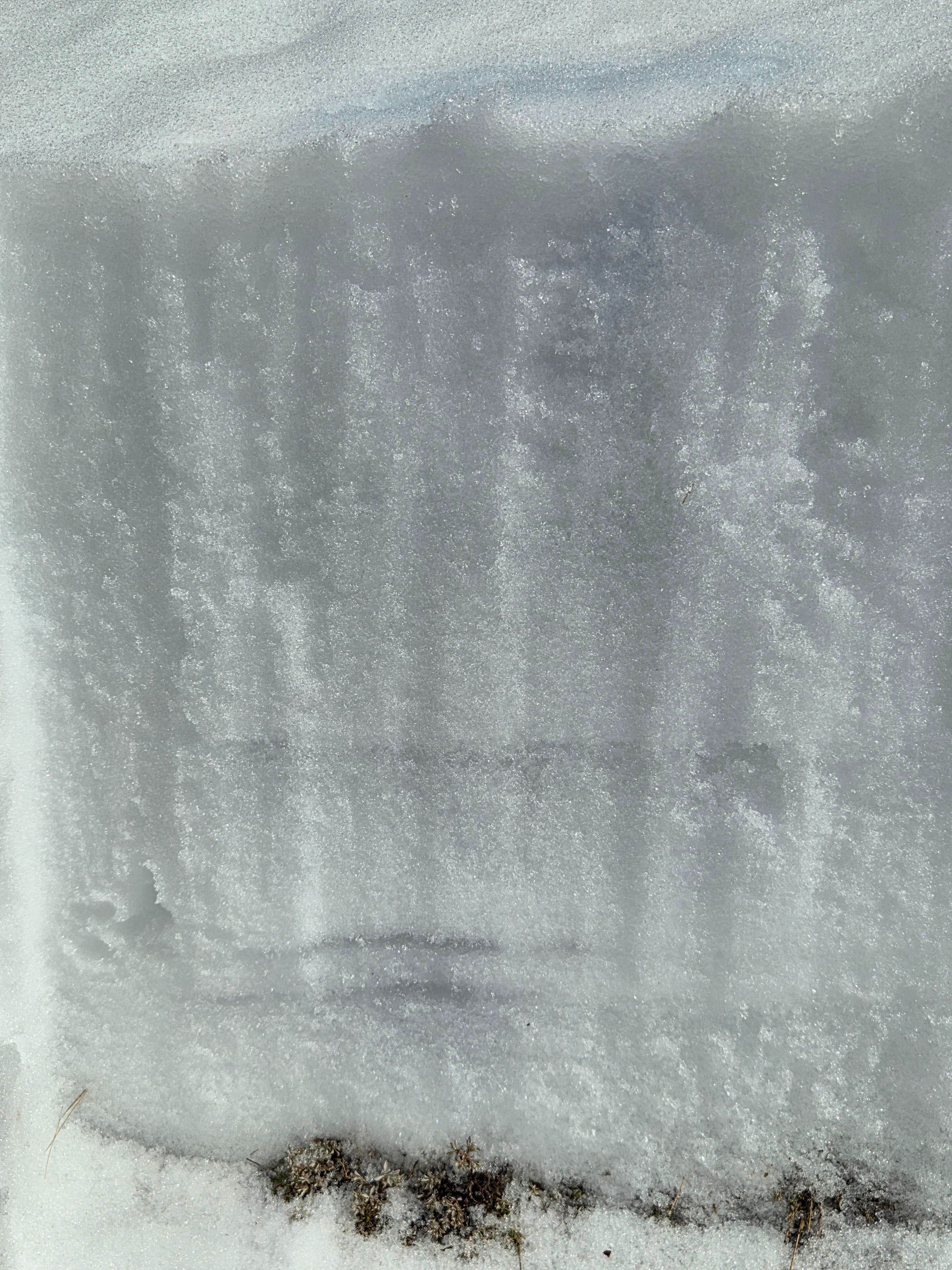
Free water content: Top 10-15cm was wet. The entire snowpack was moist or damp, but the basal facets felt relatively brittle and did not show obvious signs of melt-freeze metamorphism. Two thin crusts just above the basal FC were pooling water. See photos of the snowpack, after purple Gatorade was applied to accentuate water movement.
Impressions: 1) The cool breeze and indirect sun angle kept things from getting "too wet" on exposed NW aspects near 9000'. 2) It will take very cold temperatures, or an extended cold snap, to solidly freeze the entire snowpack. 3) The basal facets have not yet been thoroughly wetted - this snowpack has not transitioned to a well-drained "summer snowpack."
Avalanche
"Avalanches observed" in the instability comments refers to small WL originating near rocks in the surrounding backcountry.