
Quick report
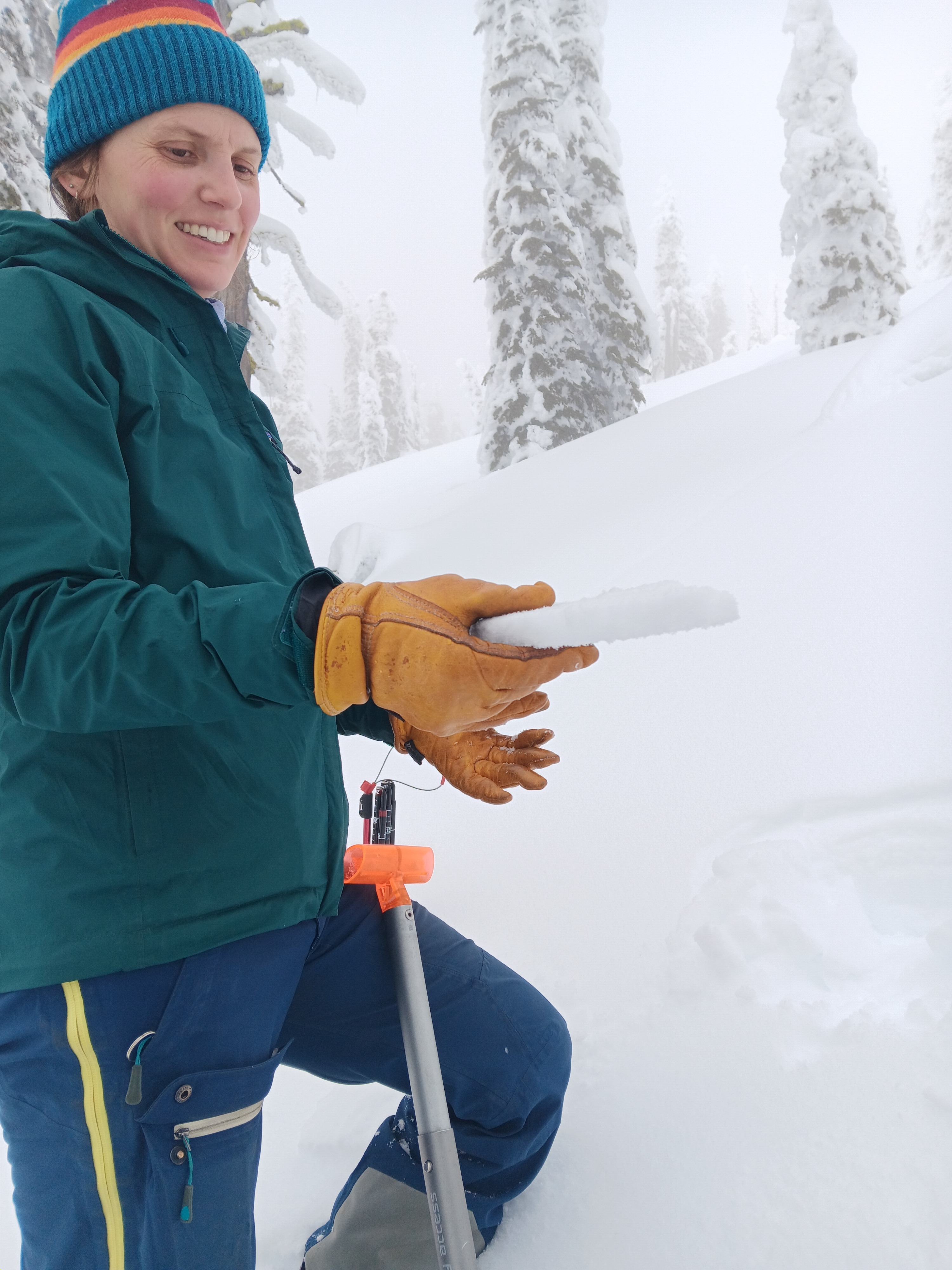
The top 20-25cm of recent storm snow was well distributed on the aspects we traveled, covering up the more wind-affected snow deposited earlier in the storm cycle. The melt-freeze crust that has formed since Sunday is up to 3cm on S aspects and but less than 1cm on N aspects, allowing for great turns. The surface hoar present on all aspects is not yet wind- or sun-affected, and if it remains and continues to grow will necessitate observation after the next round of precipitation.
Weather
- Cloud Cover
- obscured
- Wind Loading
- previous
- Recent Snowfall
- 0
- Snow Avail For Transport
- moderate amounts
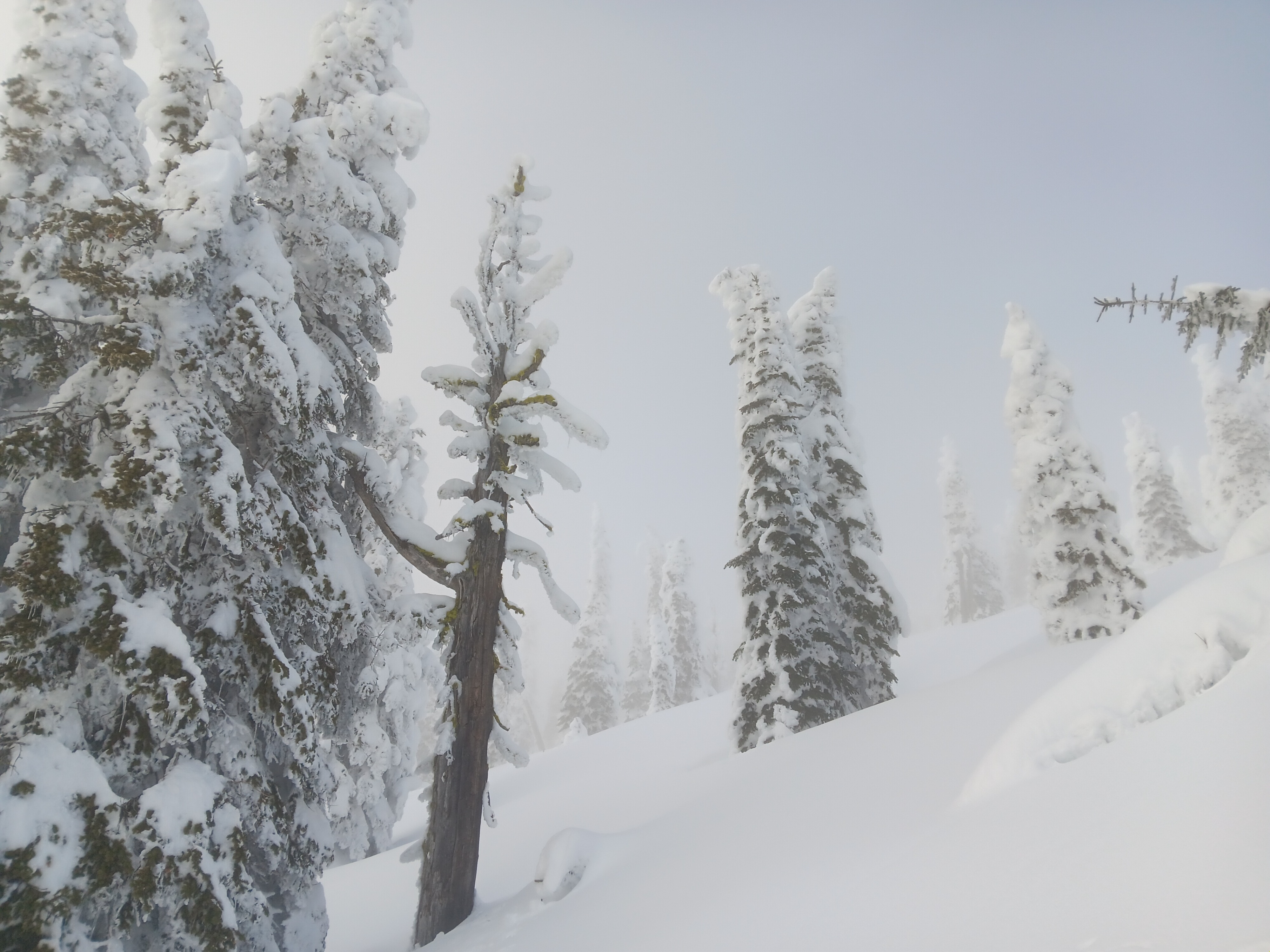
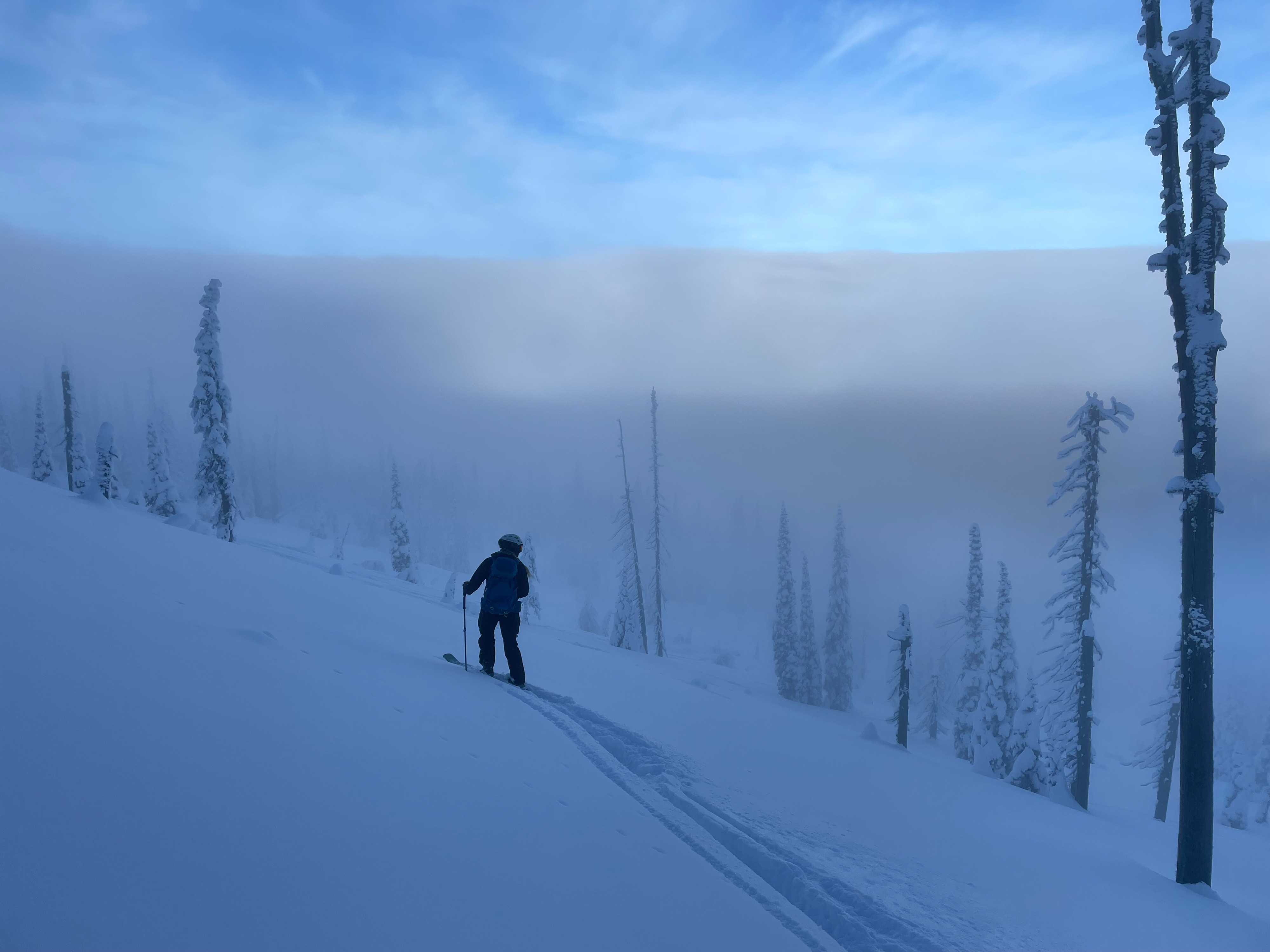
Cloud layer hovering between 5500-6000' ft near the top of the Lakeview triple when we arrived, but rose again and obscured the sky with fog around 1000, then dropped again to ~5500' around 1300 so that the higher peaks were visible above the clouds. Calm, or winds from the S/SW.
Snowpack
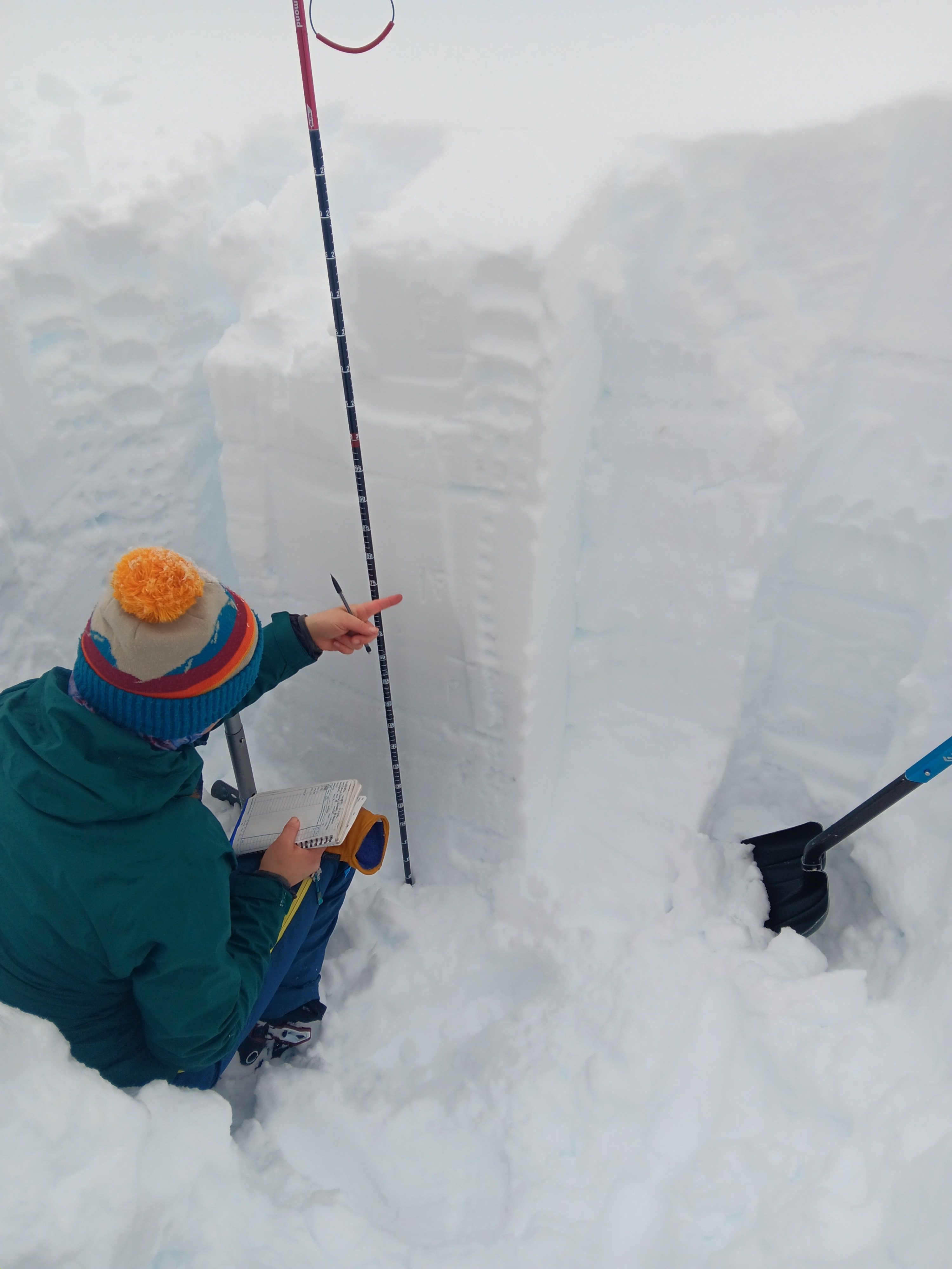
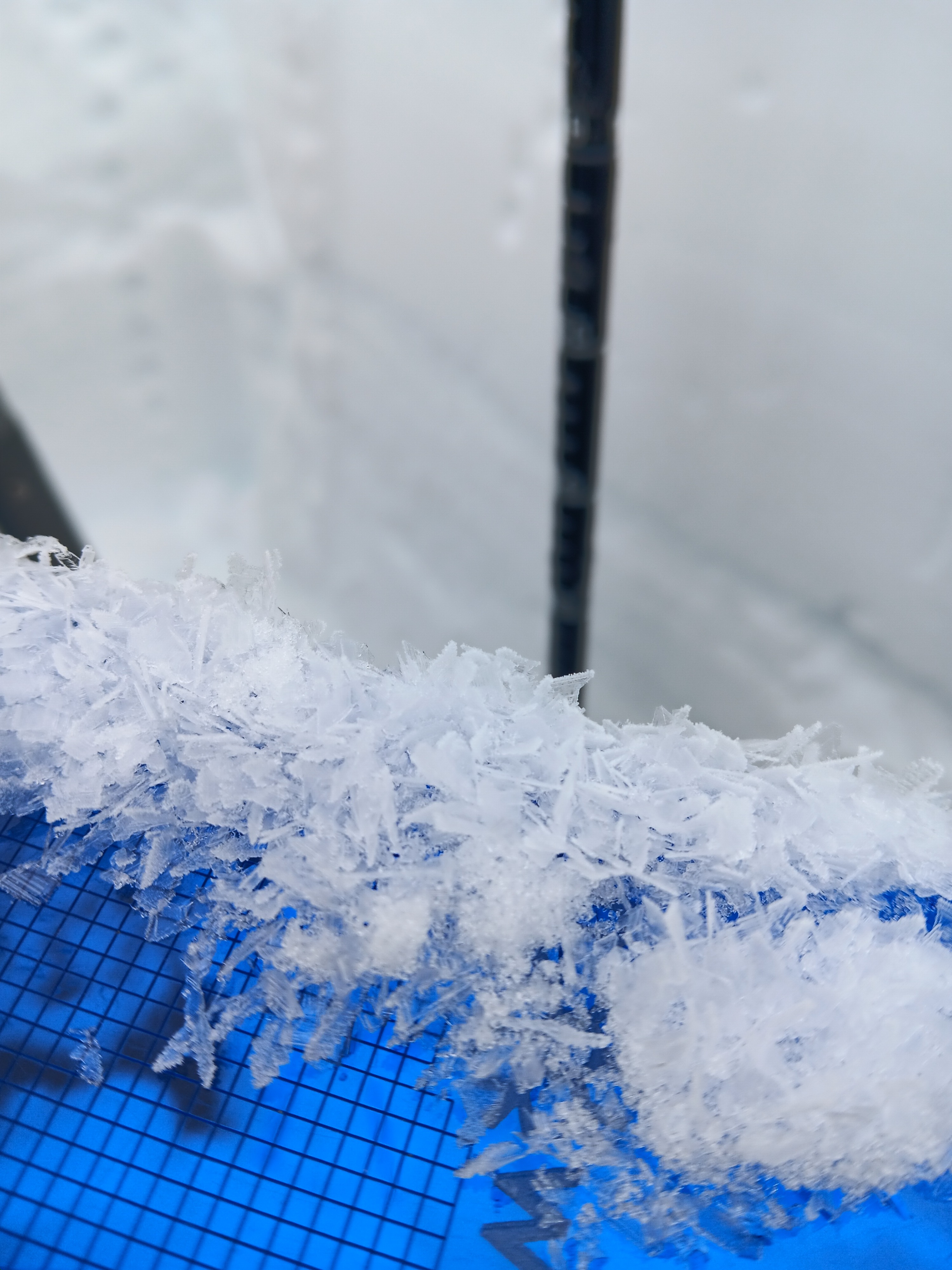
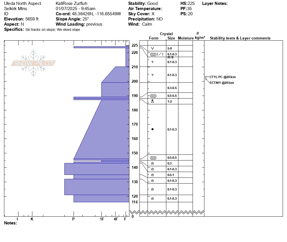
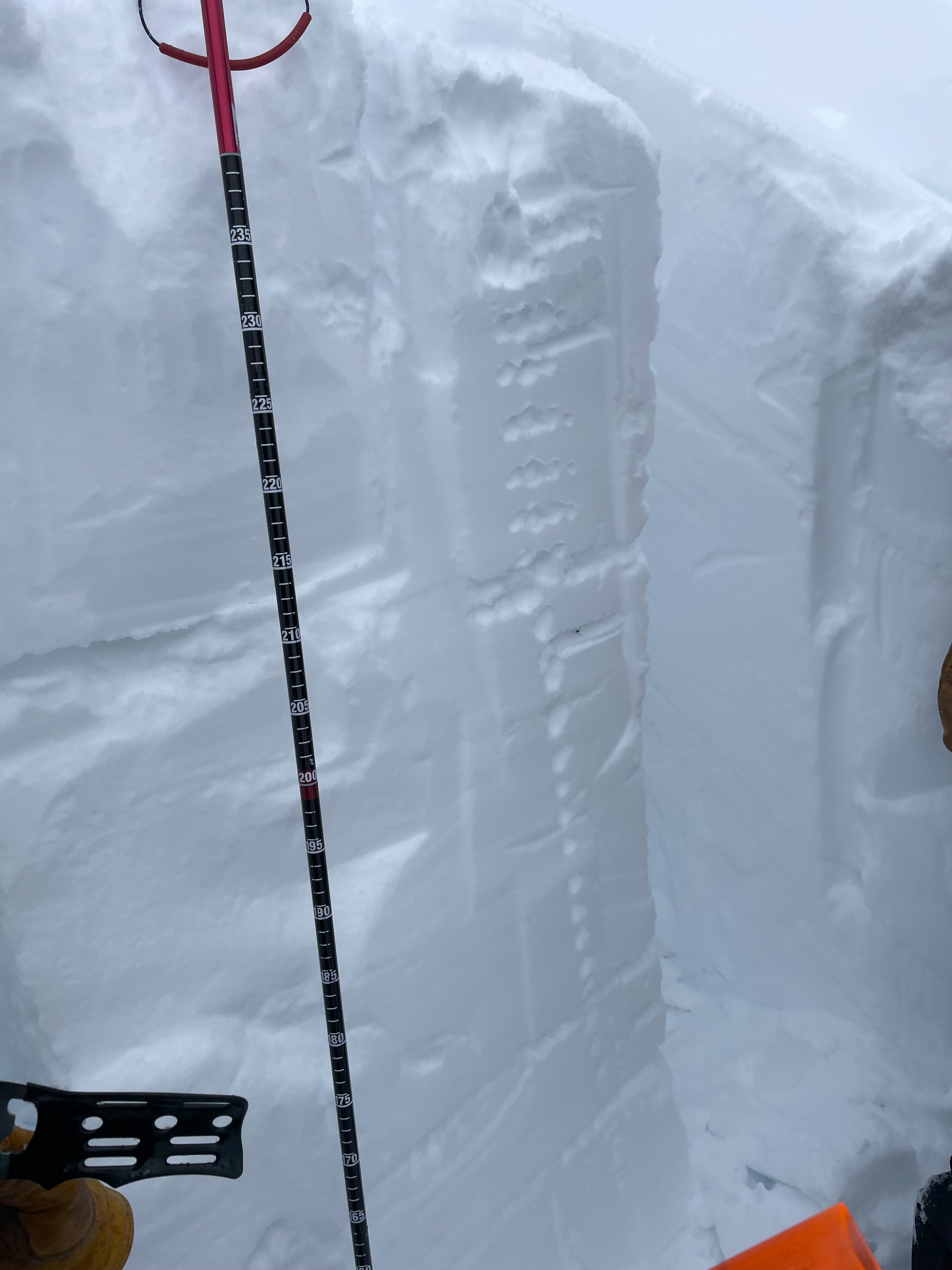
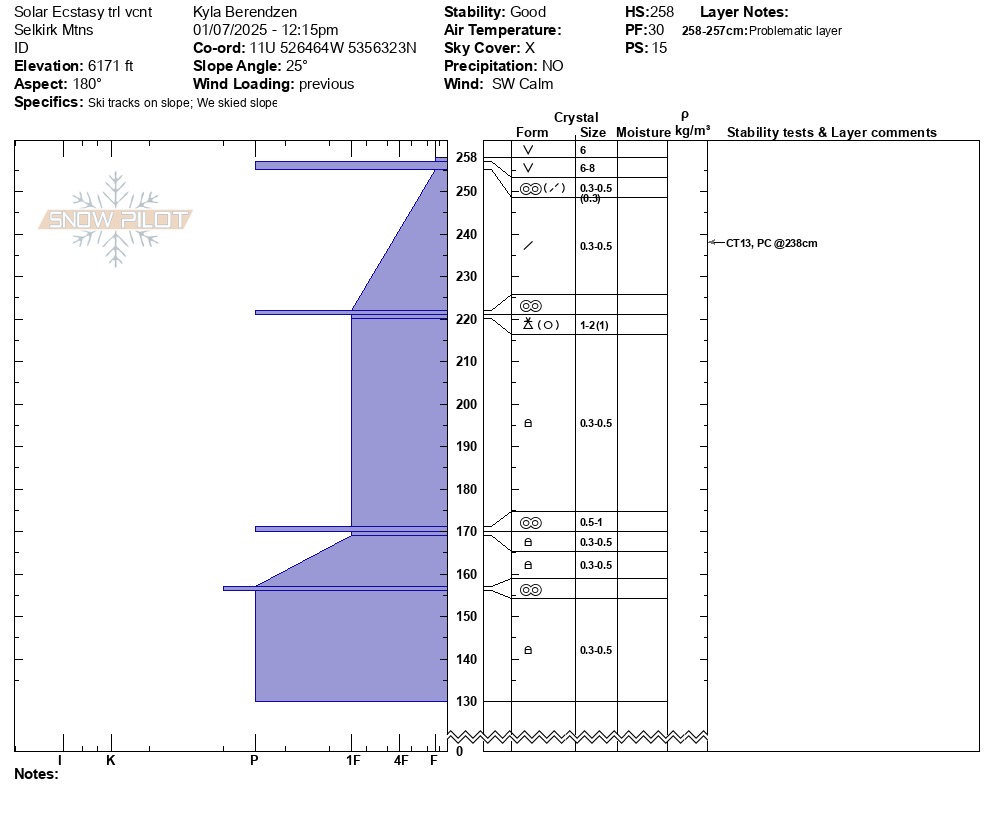
Surface hoar 6-10mm in size on all aspects at these upper elevations. Below that, a melt/freeze crust 1-3cm thick (thicker on the S aspects that received more sun on Monday January 6). The 35cm of recent, softer snow (from Thursday through Sunday) below that varies in depth with wind-loading and contains some interfaces within these layers (CT11 and CT 13 approximately 20cm down); the significant winds and their changes in direction likely influence the depth of and adhesion between these interfaces. Below that there is a melt-freeze crust 30-40cm down with graupel underneath and several crusts still present lower in the snowpack, but stability tests did not yield any reactivity in these lower layers.