
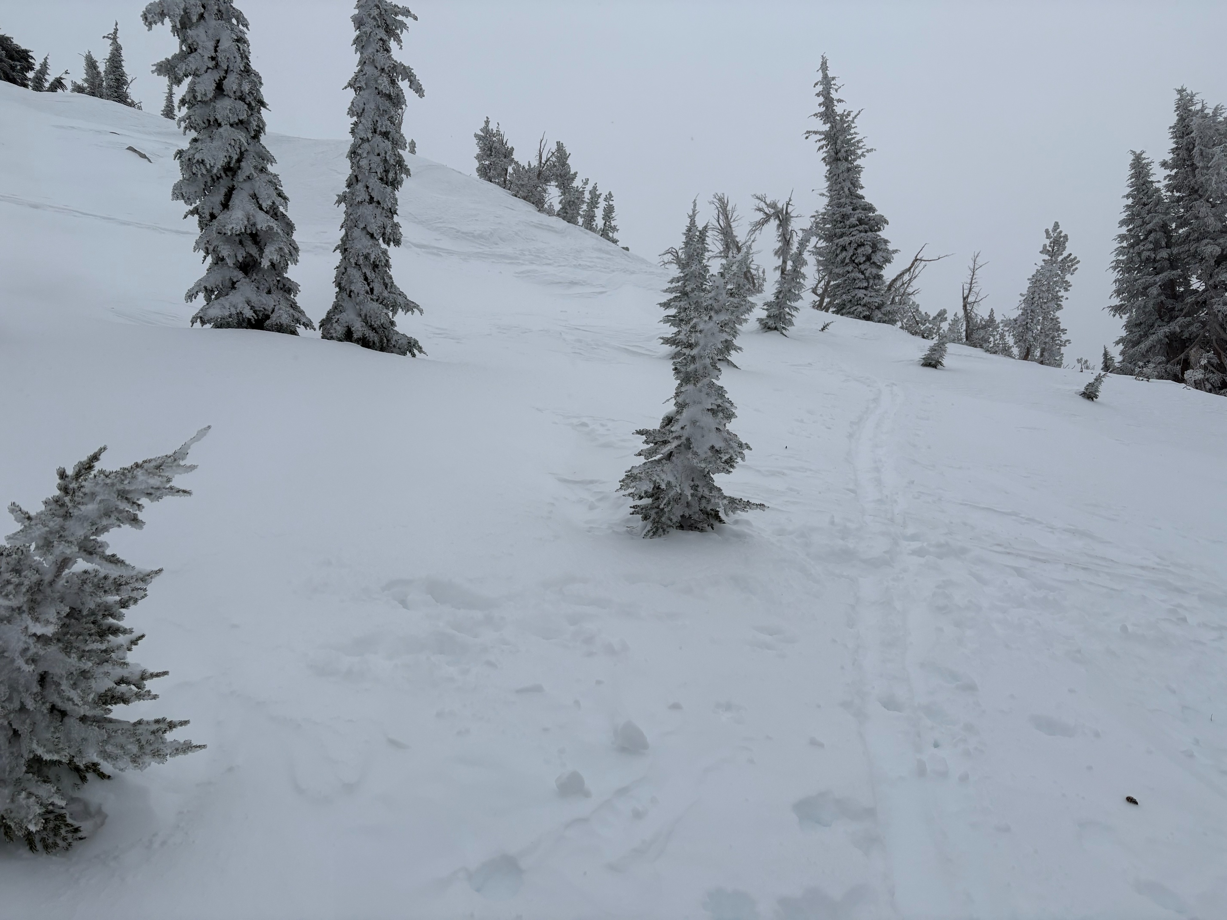
Quick report
- Cracking
- specific
- Collapsing
- isolated
Weather
- Air Temp
- 19
- Cloud Cover
- overcast
- Wind Loading
- moderate
- Recent Snowfall
- 20
- Snow Avail For Transport
- moderate amounts
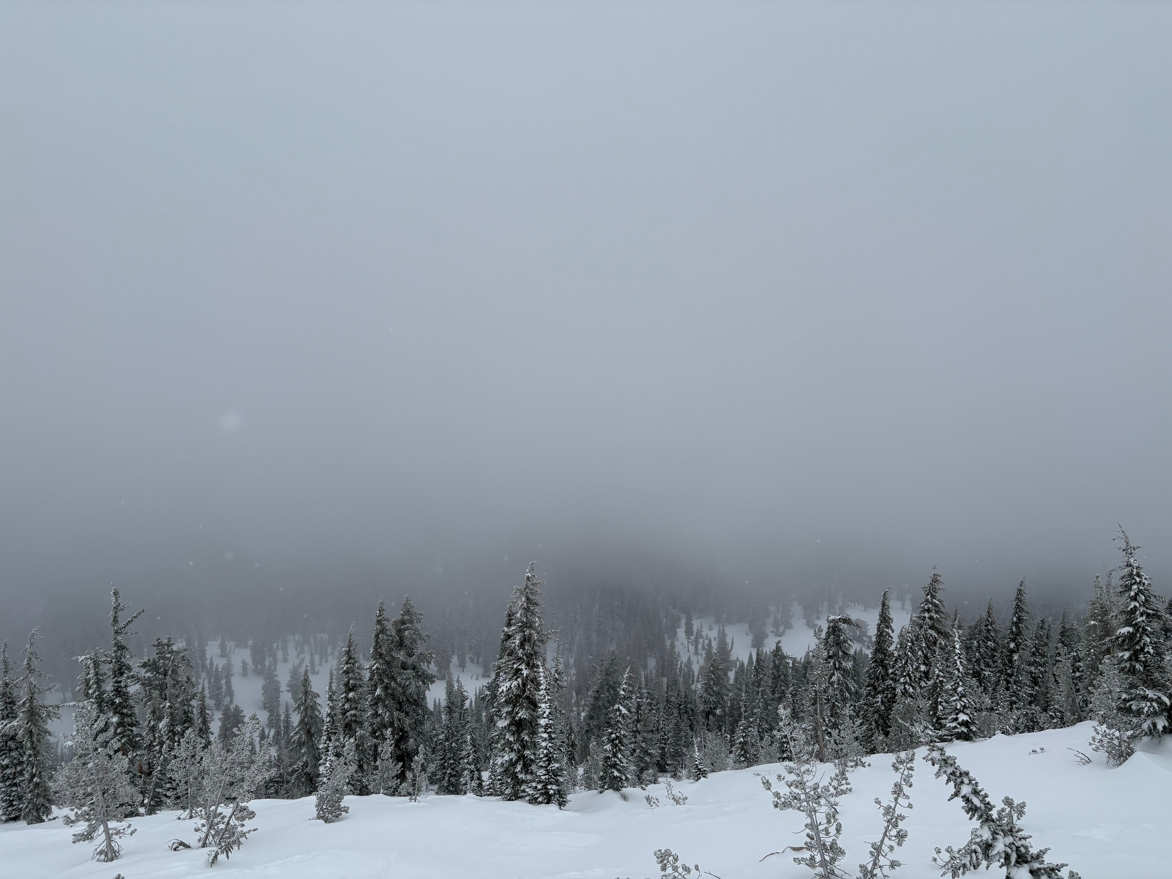
Full cloud cover with intermittent snow flurries throughout the day. These snow flurries today had limited new accumulation amounts. NE winds were mostly light to moderate in the locations traveled today in mostly below treeline with some near treeline ridge travel.
Snowpack
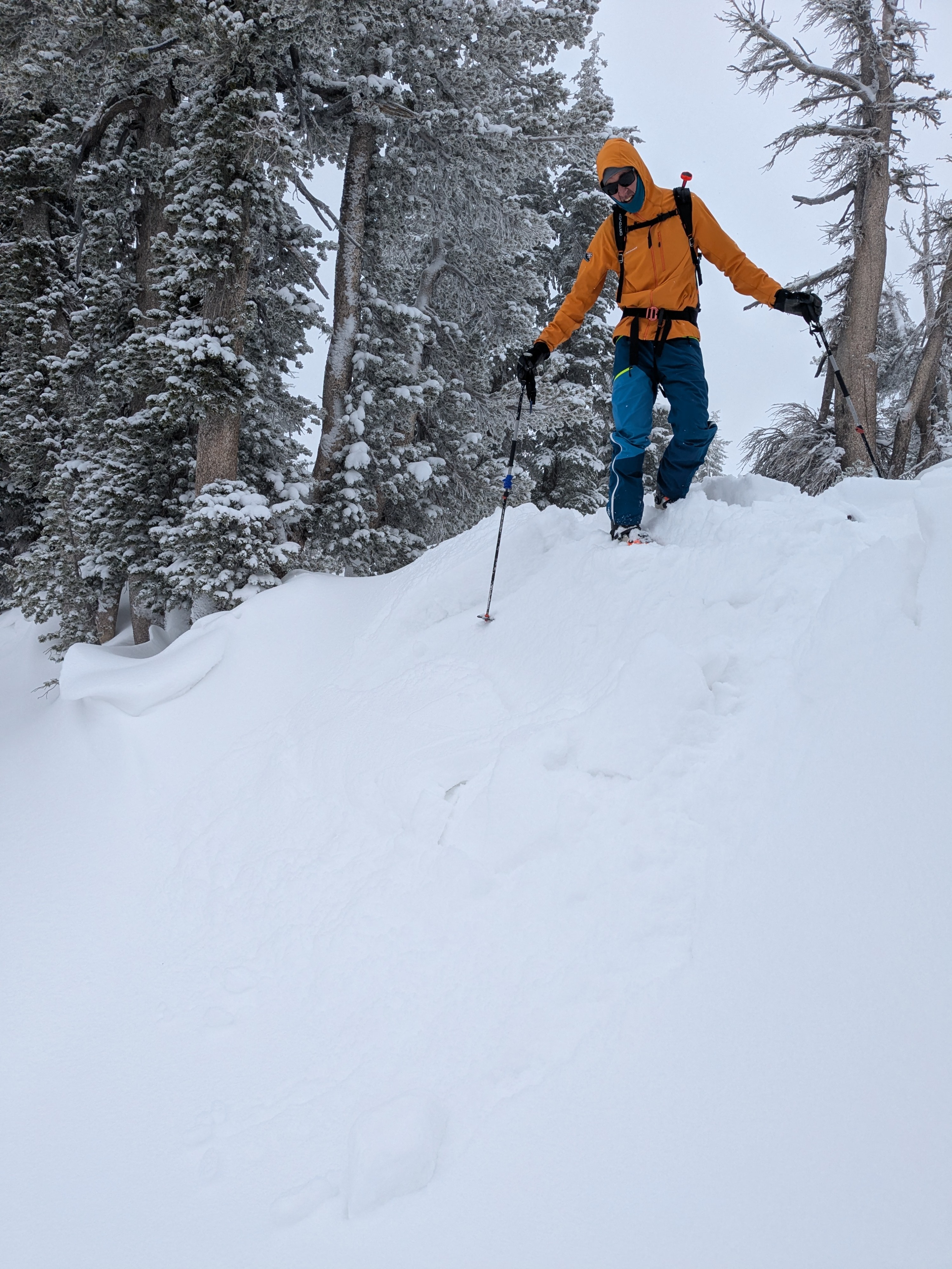
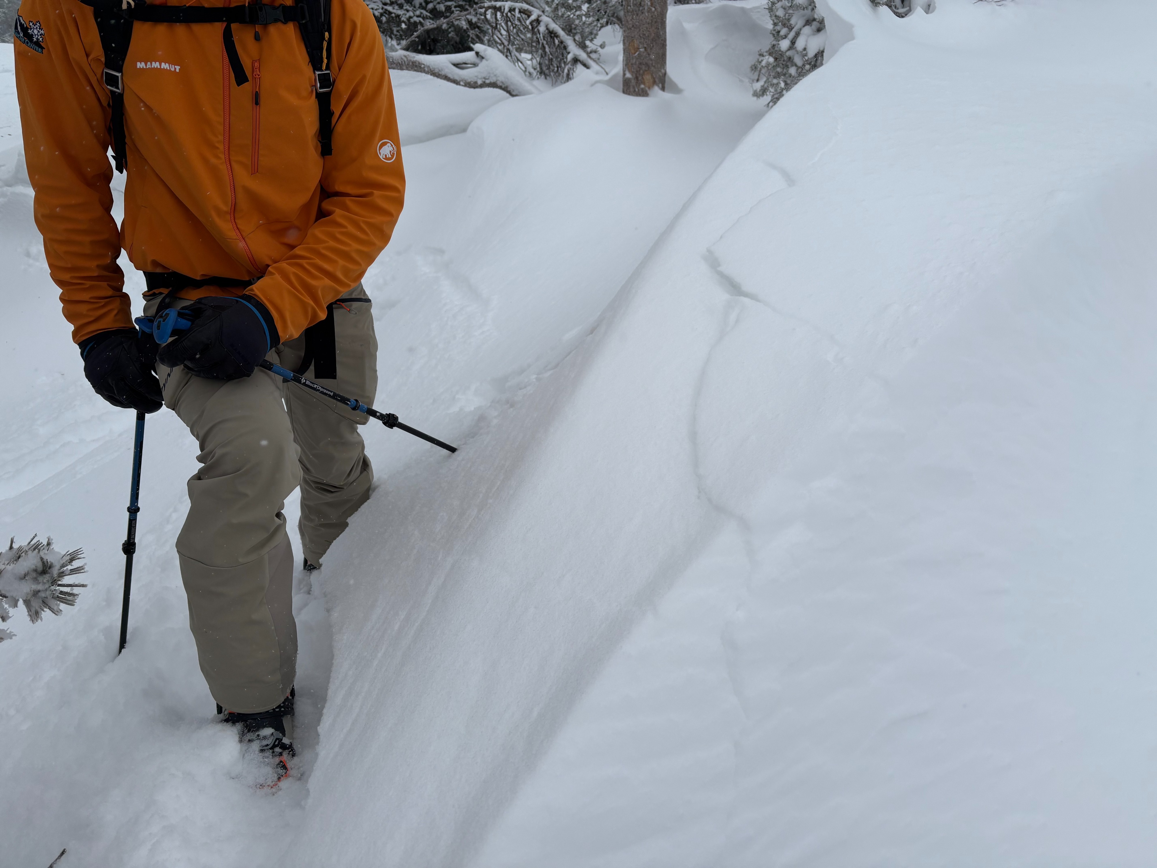
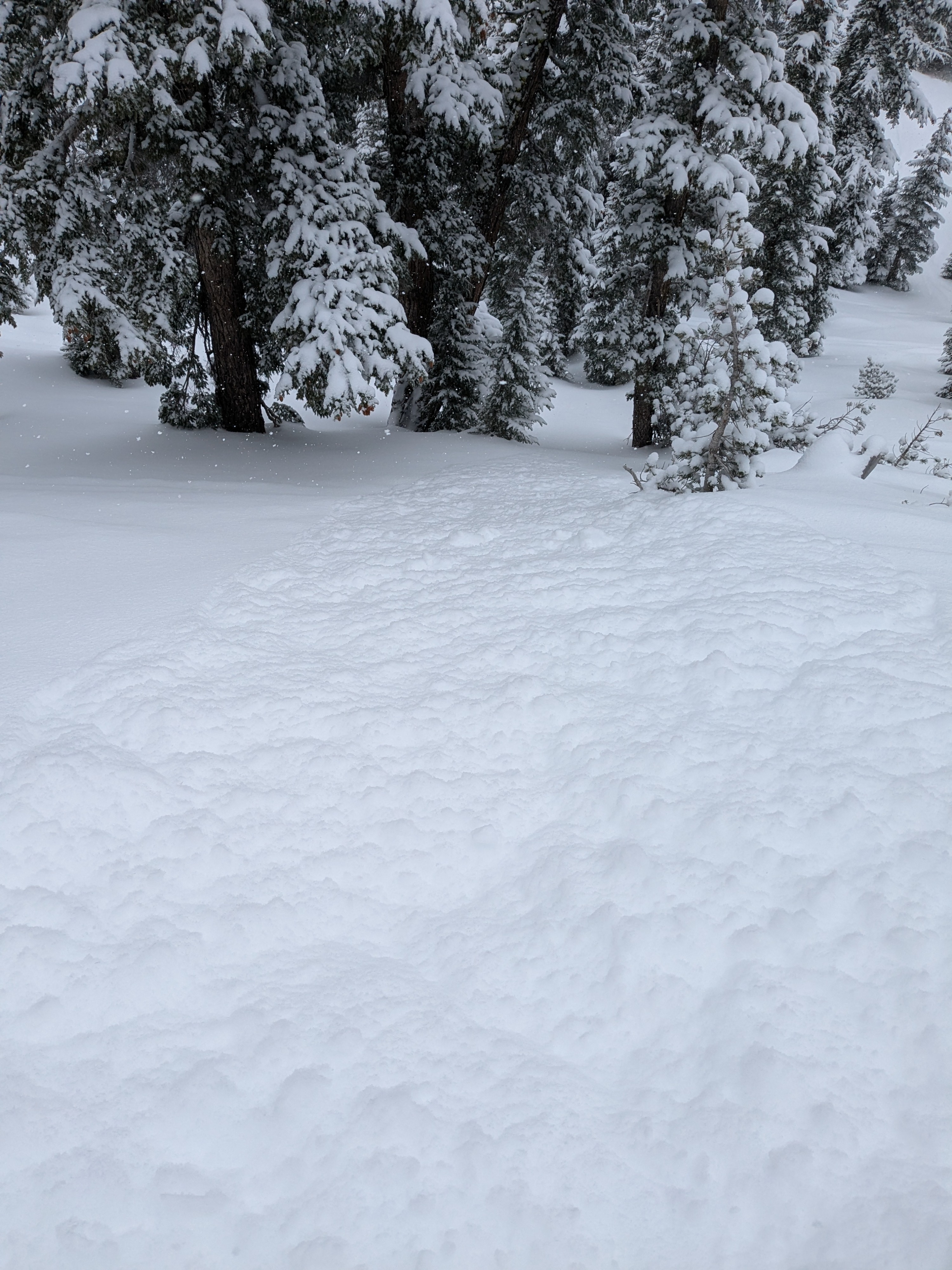
We went to the Ophir Peak area today to look at the recent storm activity focused on the Carson Range. This inside slider storm coming from the NE deposited 6 to 8'' of storm snow in this area overnight and into the morning. Storm snow was about as low density as snow gets for our area, F- hardness. Smooth slopes on northerly aspects had the best travel conditions with firm crusts and previous refrozen tracks felt in other areas. We found wind slabs up to 2' deep forming along ridges from the NE winds with cracking and collapsing occuring on small test slopes. These were all soft slabs with F hard snow on top of very light F- hard snow. Small dry loose sluffing also occurred on steep slopes throughout our tour.