
Quick report
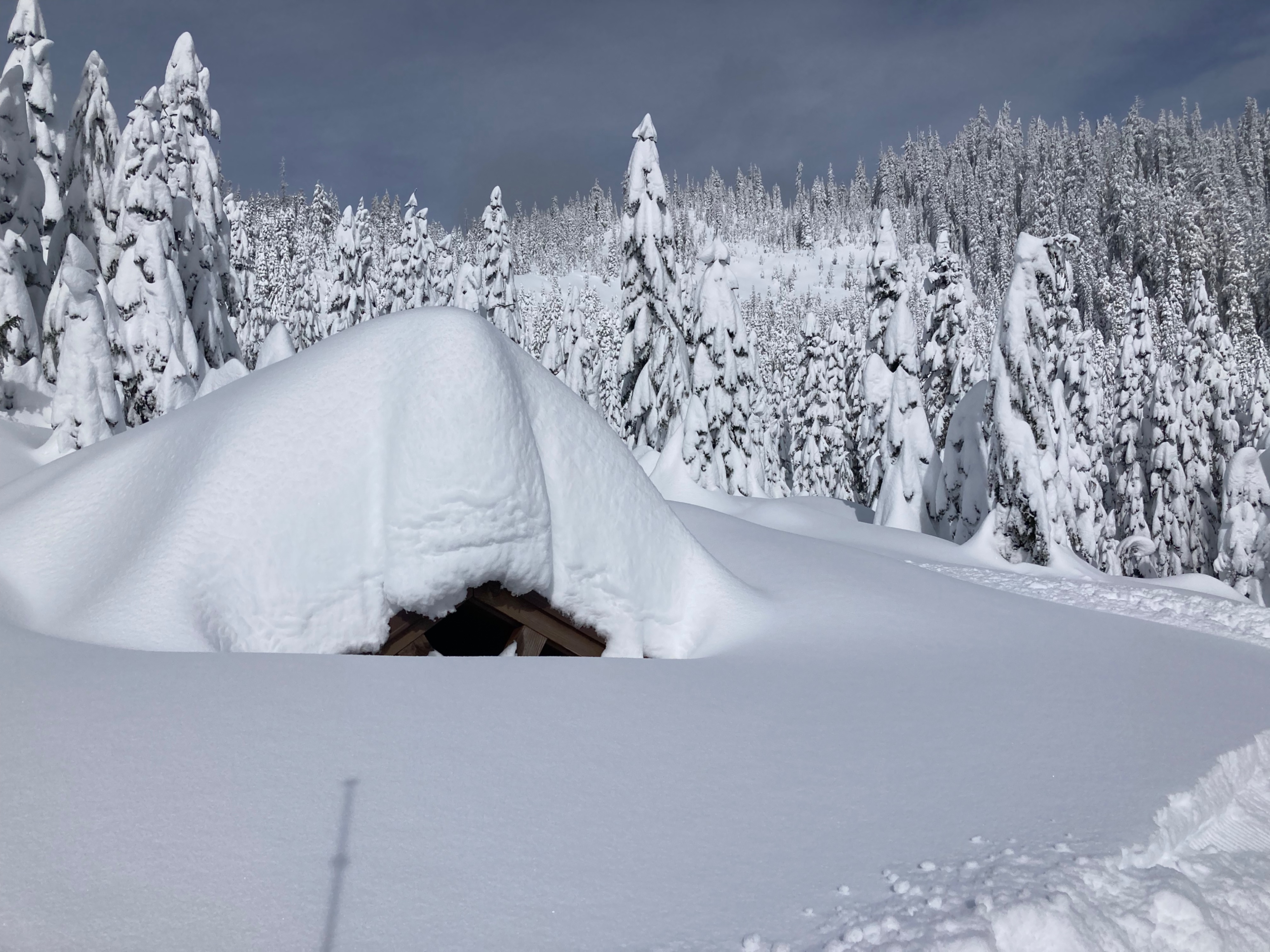
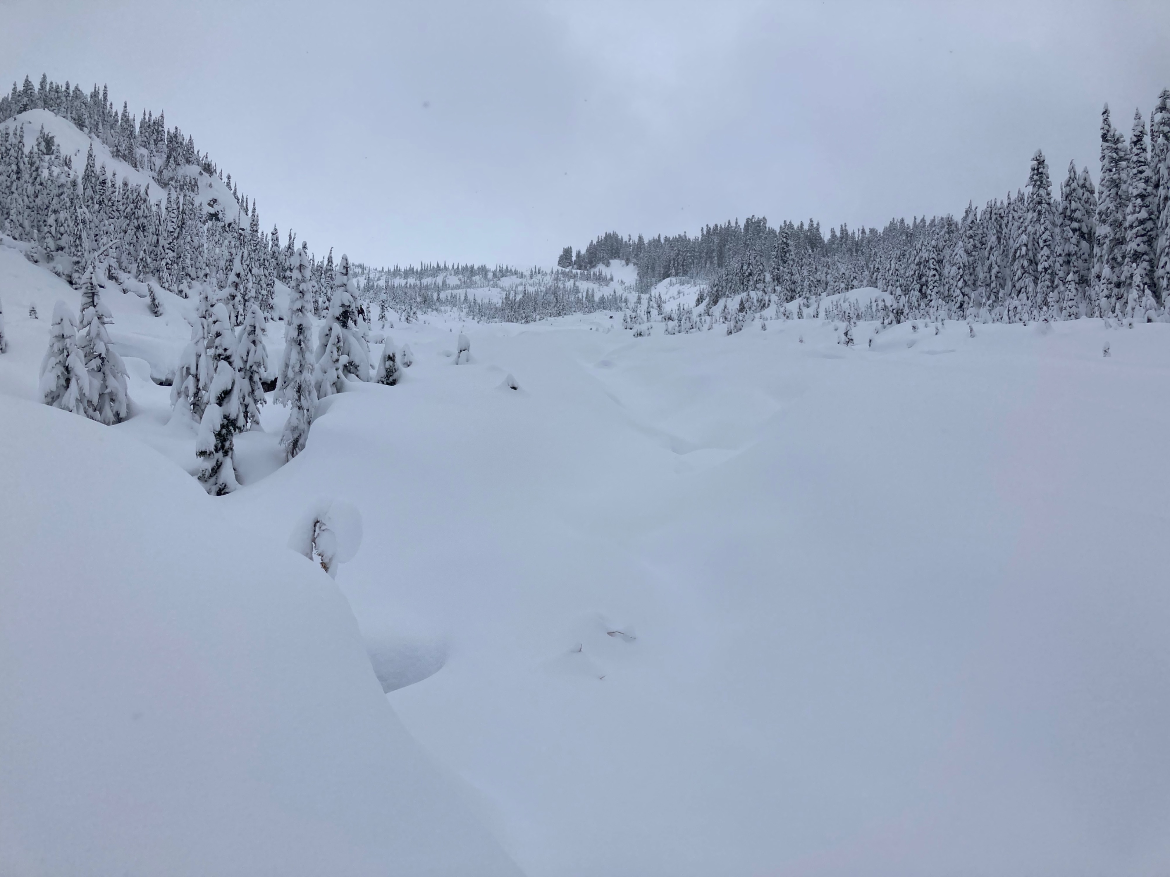
At the low elevations I traveled I mainly found storm snow instabilities in the top foot or so of snow. I didn't see any avalanches, but visibility was overwhelmingly poor and views weren't stellar. Snow was deep. Sledding was challenging, and this was one of those days where sleds were getting stuck in the deep snow and teamwork was paramount. When not getting stuck sledding was great. Snow was surprisingly predominantly right side up.
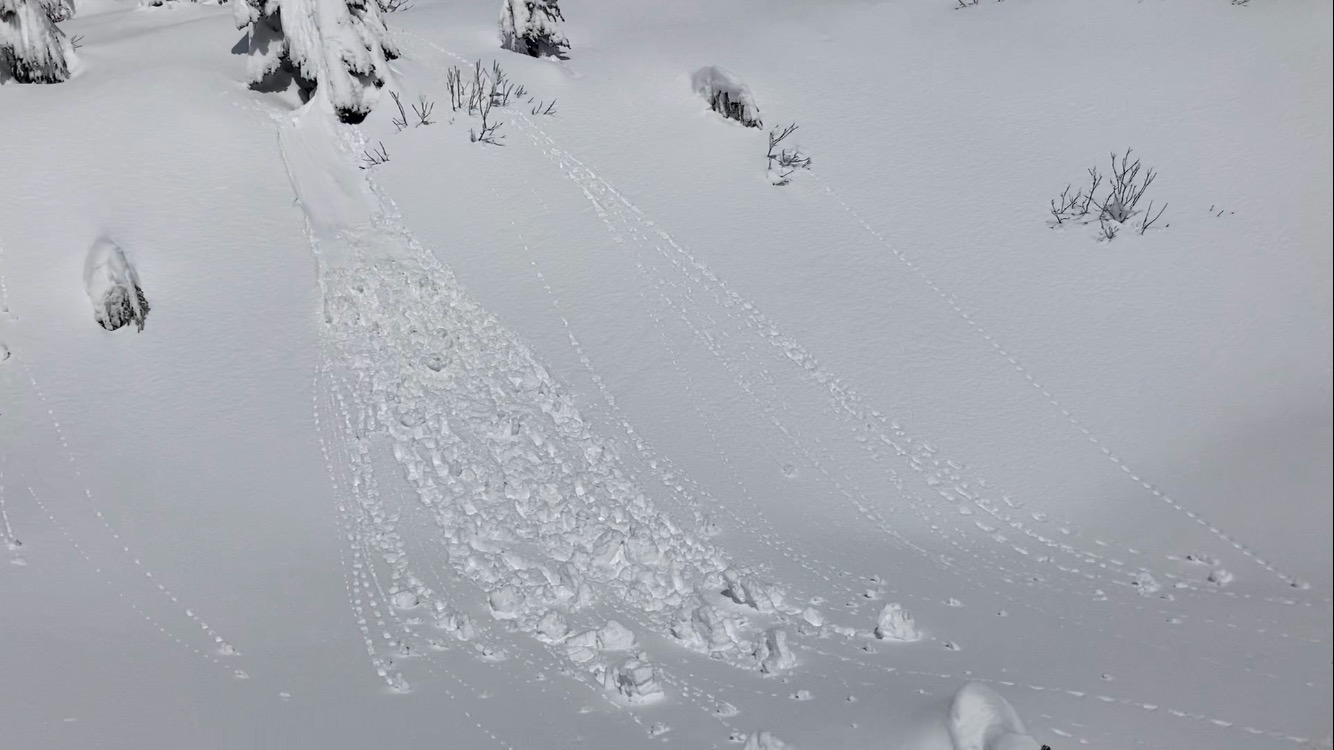
It's March and the sun is getting intense. Short amounts of strong sunlight quickly moistened steep slopes and rollerballs started running.
Weather
- Cloud Cover
- overcast
- Wind Loading
- none
- Rain Elevation
- 1000ft
- Recent Snowfall
- 100
- Snow Avail For Transport
- large amounts
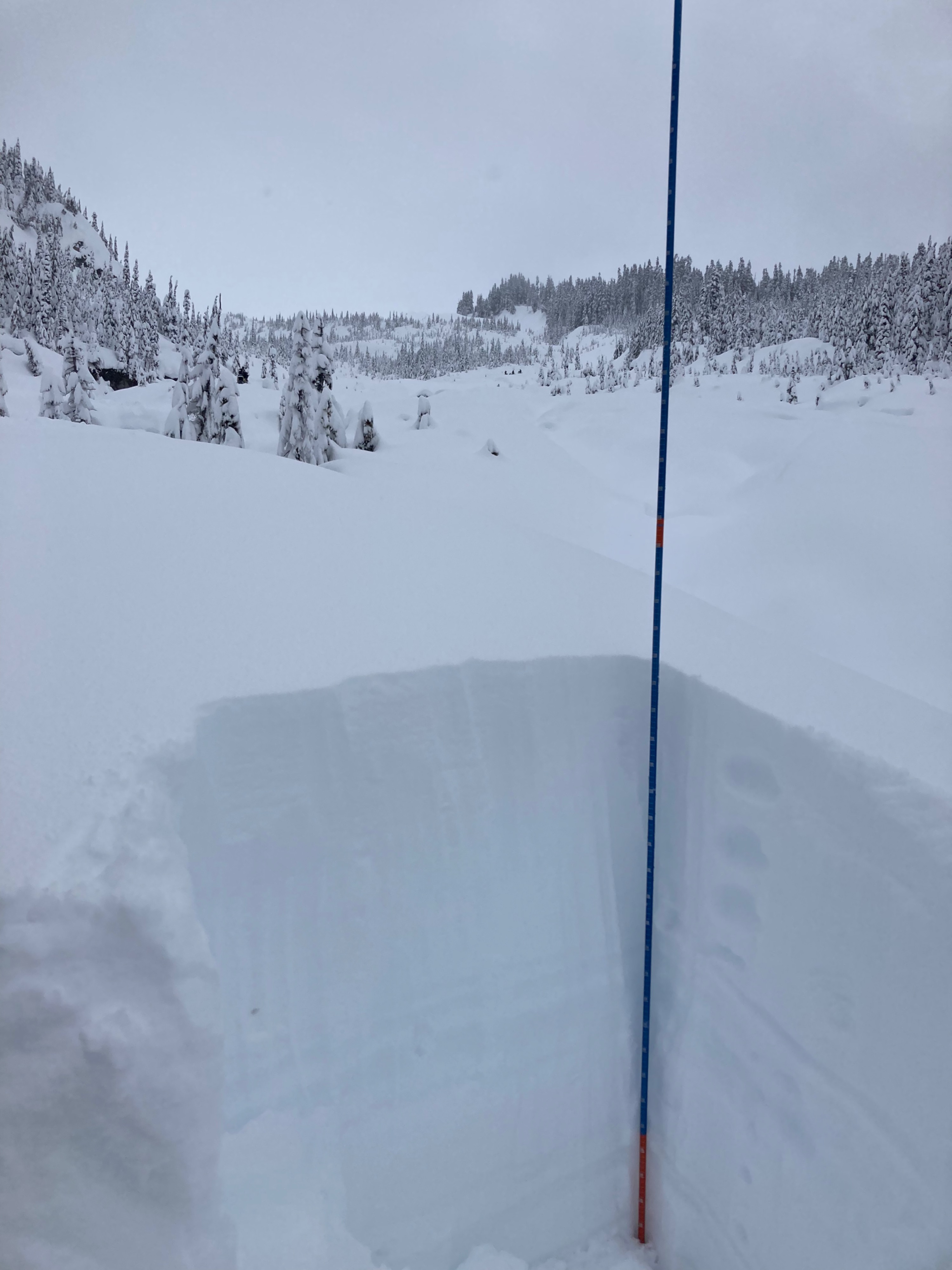
Calm today. Skies were mainly overcast, except for a 1hr period midday where skies were broken. Due to my low elevation travels (<4000ft), new snow amounts varied but were around 1m deep.
Snowpack
I found around a meter, or 3ft, of right side up new snow where I traveled. This was the layer which had fallen since 2/24. Midway down, the layer was moist, due to rain at these lower elevations on 2/28. In general, only subtle storm slab instabilities in the top foot were noted where I traveled. I wasn't in or near avalanche terrain (aside from road cut banks) so only found minimal signs of new or old avalanches.
When the sun popped out midday snow surfaces moistened and the steep cut banks (SE, 3500ft) immediately began rolling with tiny rollerballs, but I didn't see any wet loose avalanches.