

Persistent Slabs
- Alta montaña
- Límite del bosque
- Bajo el límite del bosque
- Probabilidad
- Possible
- Tamaño
- 2
There is a widespread persistent weak layer (PWL) of faceted snow on mid and upper-elevation slopes facing northwest through north and east, including some upper-elevation slopes facing west and southeast - where it is possible to trigger an avalanche 1-3 feet deep. Slopes that have recently been wind-loaded are the most prone to avalanche, such as the photo below from Tuesday's avalanche near Catherine's Pass. I don't think the recent south/southwest winds and today's snowfall are enough of a load to increase the danger substantially, but I also simply don't trust this PWL and I continue to avoid steep, north-facing slopes that have been wind-loaded and have a structure of stronger/denser snow over weaker/looser snow.
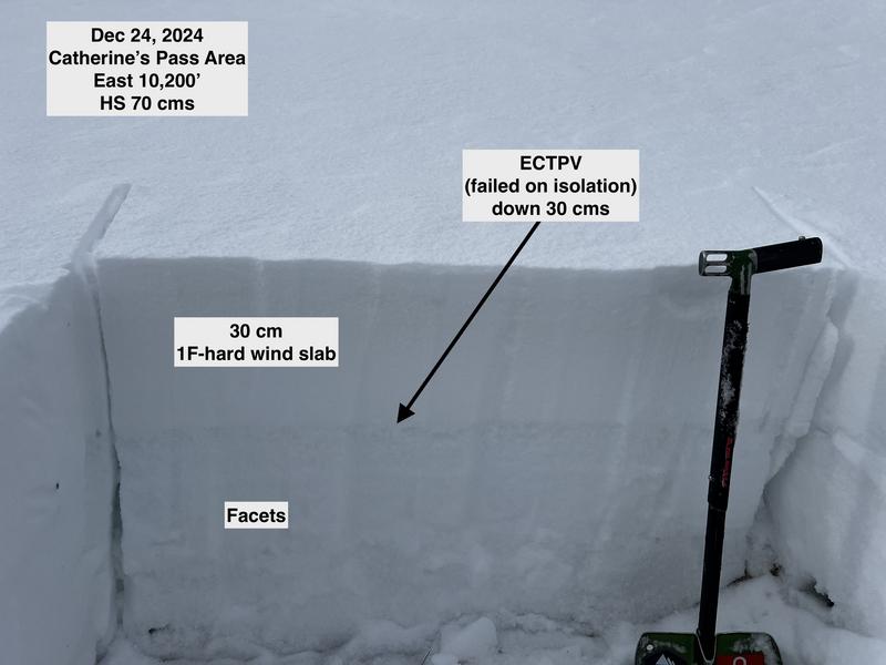
The shady, northerly slopes where this PWL exists will become increasingly dangerous with more snow and wind forecast beginning Thursday.