

Boletín de aludes

Presidential Range

Mount Washington Avalanche Center
Ver en el mapa

Peligro de aludes

Sun
Alta montaña
4 · Fuerte
Límite del bosque
4 · Fuerte
Bajo el límite
2 · Moderado
Desactualizado: este boletín caducó 6 years ago. Estás viendo condiciones pasadas, no el boletín vigente.

Lo esencial

Expect continued reactivity in surface wind slabs this morning. The MODERATE danger rating this morning will increase to HIGH as wind speeds increase. Slabs will grow thicker and begin to avalanche without a human trigger. Expect large and possibly very large natural avalanches in the Gulf of Slides, Tuckerman, and Huntington Ravines to reach much further than any avalanches so far this season. Other terrain with steep open slopes throughout the Presidential Range may develop wind slabs in sheltered areas where wind drifts the 20” of snow that has fallen this week. Visibility will diminish throughout the day. 

The Winter Lion Head Route is now the best option to climb to the summit from Pinkham Notch as wind slab avalanche hazards develop on the summer trail near treeline.

Problemas de aludes

  • Wind Slabs

    • Alta montaña
    • Límite del bosque
    • Bajo el límite del bosque
    Probabilidad
    Likely
    Tamaño
    2–3

    Natural avalanche activity is likely to peak in frequency in the early afternoon with very large (D2-3) natural avalanches possible later today and tonight in a few areas. Slabs will be particularly reactive mid-day as soft weak layers are stressed by new snow load. West facing terrain may contain terrain features that also allow wind slabs to build. These may be smaller but could be equally dangerous considering their reactivity and obstacles in the leaner snowpack. Layers containing rimed crystals may contribute to the reactive nature of the slabs with cold temperatures last night slowing rounding and stabilization.
Avalanche Discussion

Since last weekend, over 24” of snow has accumulated and increased the depth of snow at our snowplot.  12-14” of light density snow exists on top of our snowpack and will be easily picked up and blown into wind slabs. The majority of this week's snowfall currently sits in the fetch upwind of east facing ravines. This snow will be blown into our major avalanche paths today with slabs growing quite large.  The wind that builds these slabs will grow stronger overnight, ultimately pounding the snow into hard and unreactive slabs tomorrow.

Yesterday,  Jan 22, at 3:20 pm, a skier was caught and carried by an avalanche from near the top of Left Gully almost to the floor of the ravine. A ~six inch slab of new and wind deposited snow released from the uppermost start zone from skier 2's feet as skier 1 made his first turn. Skier 1 was quickly swept into and under the moving debris and lost skis and poles. When the flow stopped, he found himself buried face down, fortunately with his head very near the surface, but the rest of his body buried by two feet or more of debris. He was unable to move but could raise his head for a breath.

Skier 2 did not see his friend and skied away. Ultimately, he alerted others down by the rescue cache. Bystanders closer to the scene, began to dig out skier 1. Others arrived, including Hermit Lake and Harvard Cabin caretakers and later, snow rangers, to assist. (Thanks Pier and others!)

Just prior to the avalanche, a snow ranger suggested to the two skiers, who did not have beacons, shovels or probes, that they ski the lower angled slope between Right Gully and LC or the lower section of Left, if they skied anything at all. They later told snow rangers that the excitement of new snow drove them to the top and into the upper start zone where the incident then unfolded.

There were no natural avalanches reported yesterday though the forecast that included possible human triggering of D1-2 wind slabs. This pair was among many poorly equipped or skiers traveling alone yesterday. Please read and subscribe to this forecast carefully, take an avalanche class, travel safely, and carry the proper equipment.


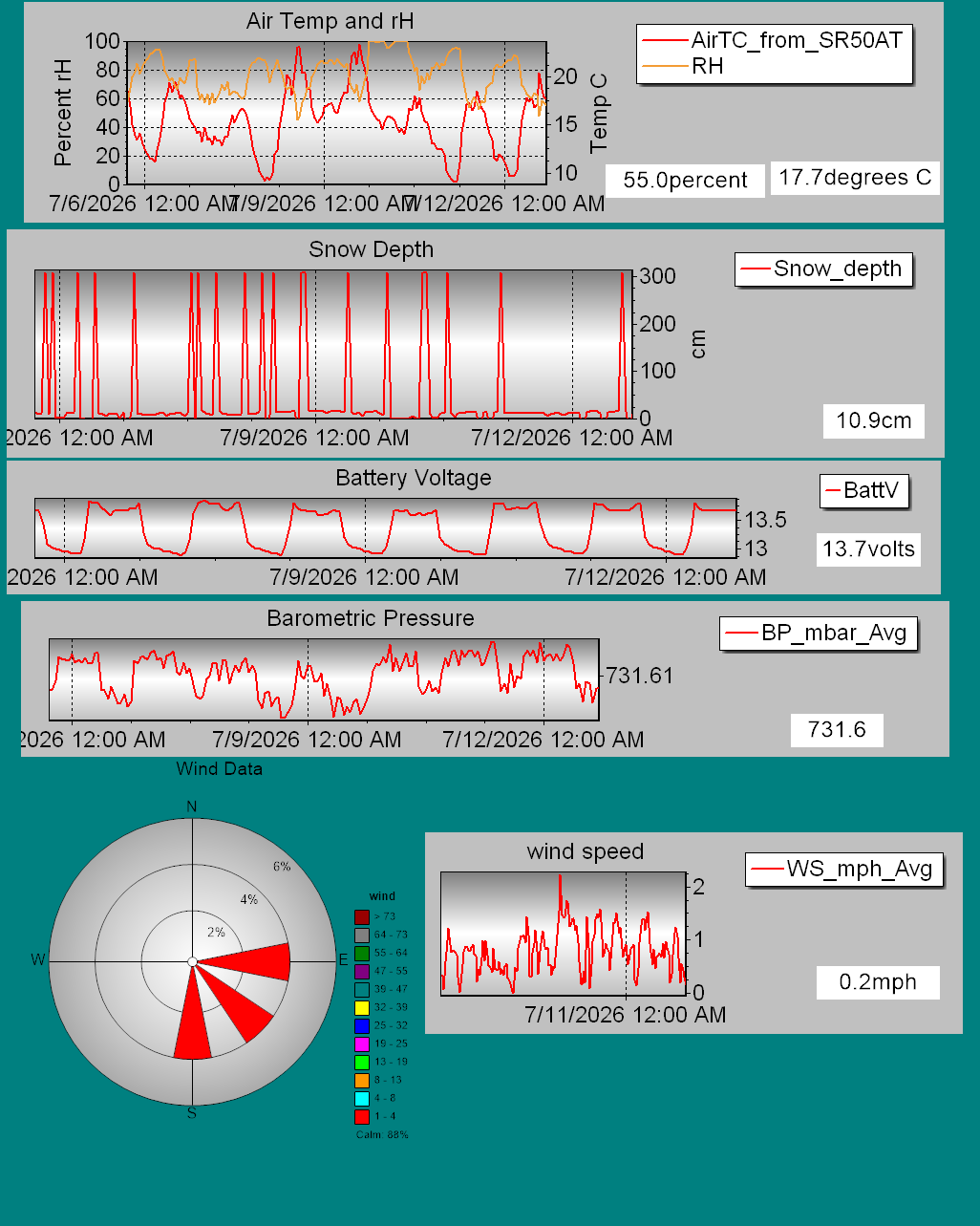
Details on daily snowfall totals, precipitation type, total depth of snow, and other information can be found on our page devoted to snow study plot data. Click here to check it out. Data collected hourly by the new automated weather station at Hermit Lake can be found hereand graphically here.

Recent snowpack and avalanche observations can be found here. Your observations help improve our forecast product. Please take a moment and submit a photo or two and a brief description of snow and avalanche conditions that you see in the field.

The Harvard Cabin is open for camping only with no entry allowed inside the cabin.

Please Remember:

  • Safe travel in avalanche terrain requires training and experience. This forecast is just one tool to help you make your own decisions in avalanche terrain. You control your own risk by choosing where, when, and how you travel.
  • Avalanche danger may change when actual weather differs from the higher summits forecast.
  • For more information contact the US Forest Service Snow Rangers, AMC visitor services staff at the Pinkham Notch Visitor Center, or the caretakers at Hermit Lake Shelters or seasonally at the Harvard Cabin (generally December 1 through March 31). The Mount Washington Ski Patrol is also available on spring weekends.

Regiones cubiertas