Storm Slabs
- Alta montaña
- Límite del bosque
- Bajo el límite del bosque
- Probabilidad
- Likely
- Tamaño
- 2
Sluffing of the storm snow will again be prevalent today, particularly on the steepest solar aspects as the storm snow transitions to damp and then wet with today's sun and rapidly rising temperatures. WET SLUFFS will run naturally and with provocation and will run fast/far and entrain lots of snow as they cascade down the slick Christmas Eve rain crust (CERC!). Pinwheels, rollerballs, and natural sluffs are clear signs you've started to overstay your welcome and it's time to change aspects. Note natural wet sluff over the Hellgate Cliffs in upper LCC yesterday.
DRY SLUFFS (aka Dry Point Releases) are also possible in the low density storm snow in very steep terrain. Again, the rain crust is the compounding issue as the loose snow wants to run fast and far on the slick crusts.
Because of the sneaky overnight winds, don't be surprised to find newly formed SOFT SLABS OF WIND DRIFTED SNOW along the highest elevation bands. These will be most prevalent on north to east to south facing slopes and may be triggered at a distance.
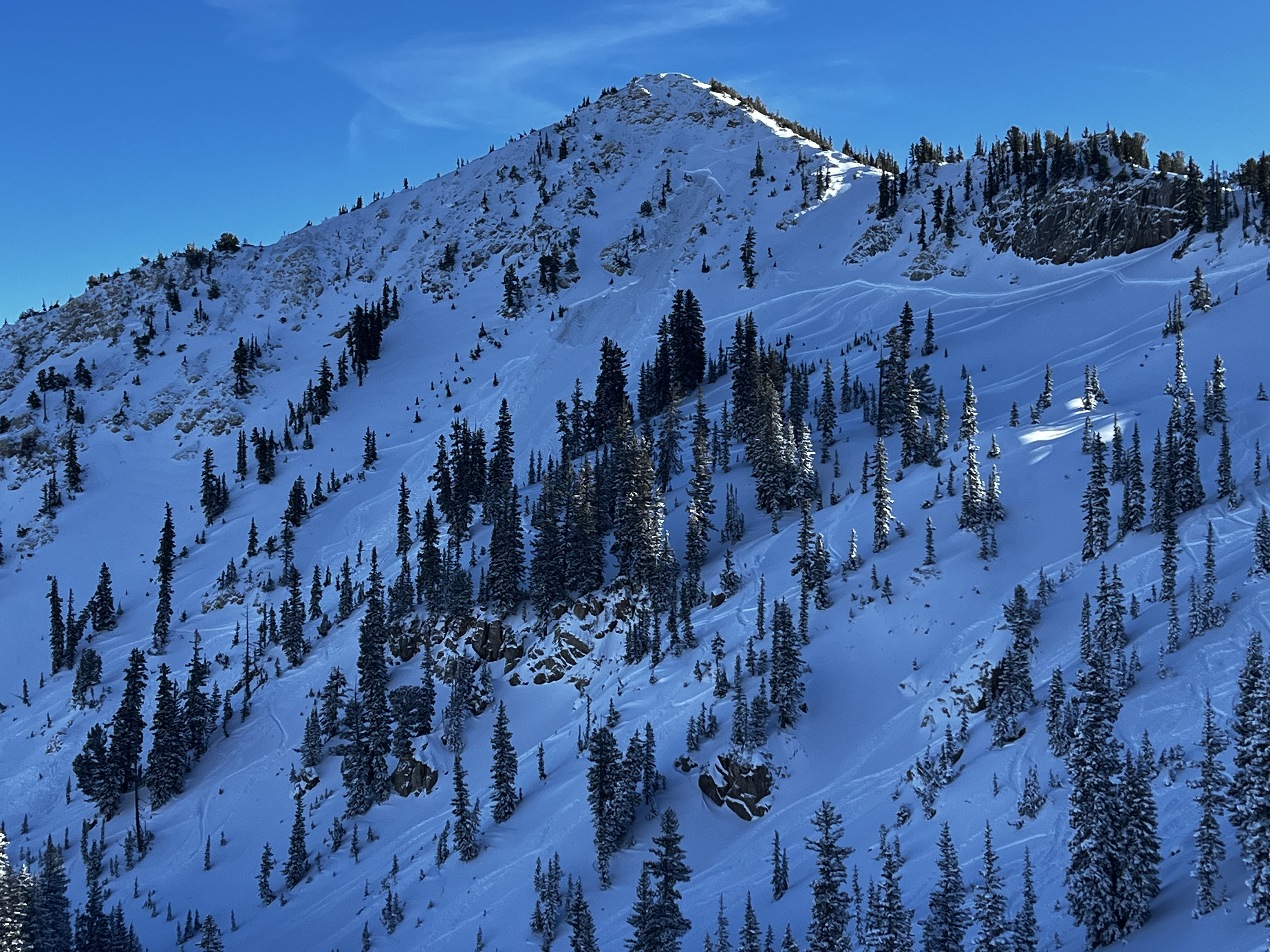
Example photo from Sean Hathcock. His excellent report from the Brighton backbowls can be found HERE>