Tongariro

New Zealand · New Zealand Avalanche Advisory · Teil von New Zealand

Auf der Karte ansehen

Lawinengefahr

High Alpine · above 2,300 m
3 · Erheblich
Alpine · 1,800 m–2,300 m
2 · Mässig
Sub Alpine · below 1,800 m
2 · Mässig

Lagebericht ausgegeben 8 hours ago · gültig bis Aug 31

Herausgegeben von New Zealand Avalanche Advisory

Aktueller Lagebericht

Kernpunkte

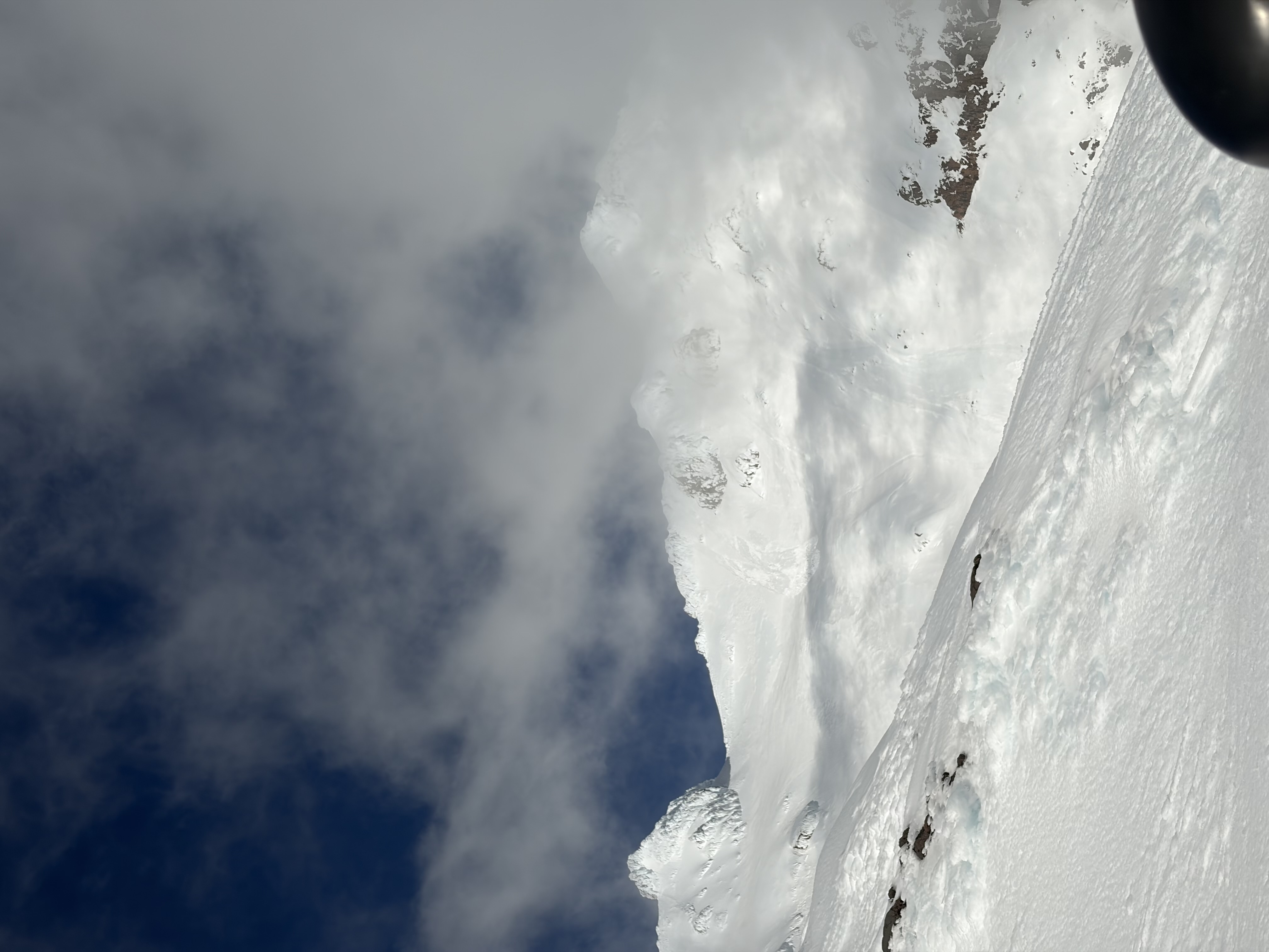
Wind slabs may increase in size as new snow gets transported to east and south aspects. The weather remains unsettled over the next 24 hours, with snow showers and strong winds expected. Poor visibility will make it difficult to identify hazards in the alpine backcountry. Recommend delaying backcountry travel until the conditions improve.

Lawinenprobleme

  • Wind Slabs

    • Alle Höhenlagen
    Wahrscheinlichkeit
    Possible
    Größe
    2

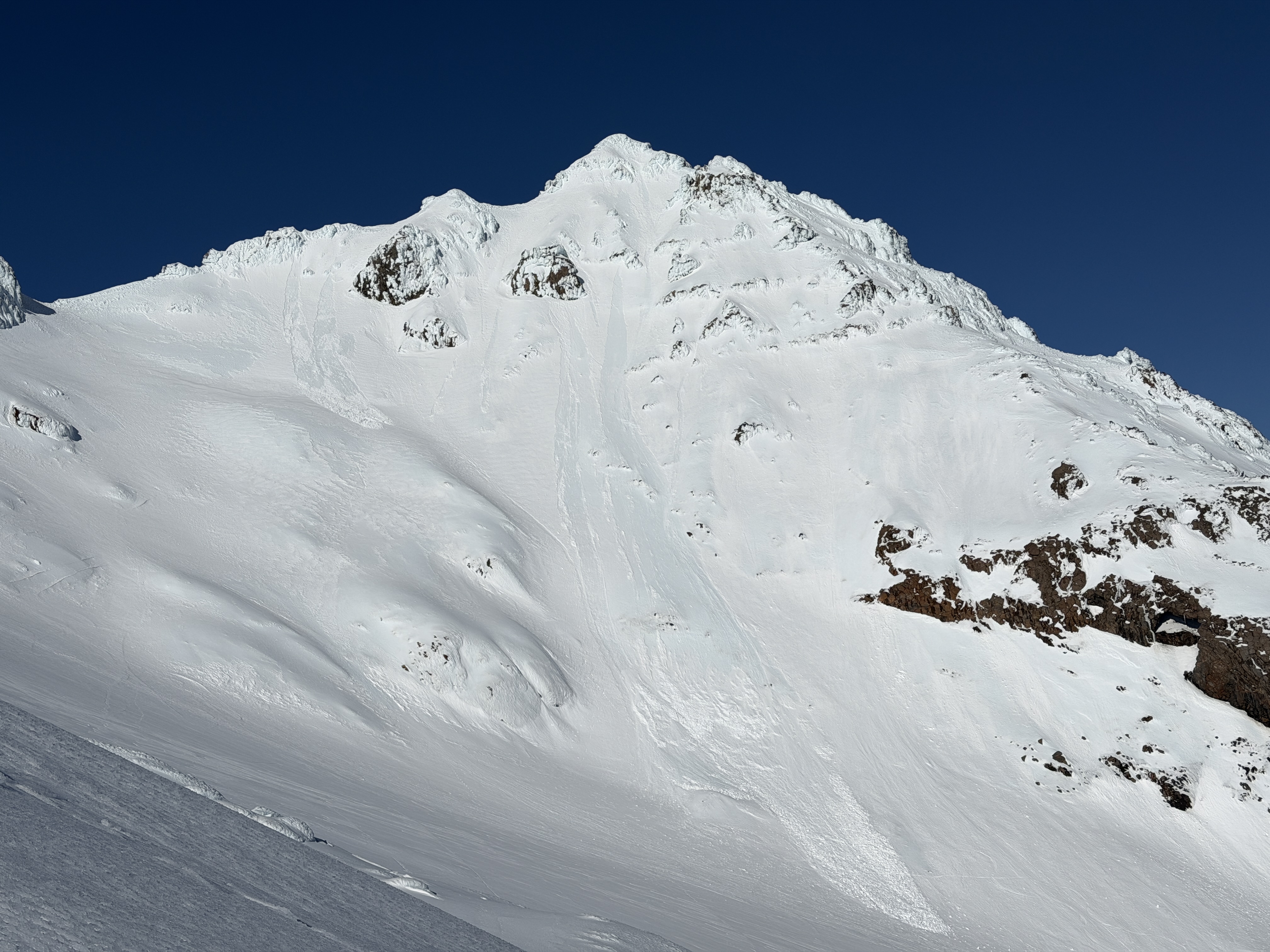
    Wind slabs on south and east aspects exist and may increase in size and reactivity. Loose new snow will be transported immediately, adding to the existing slabs. The locations of these deposits are near sheltering terrain features such as rocky outcrops near ridgelines acting as catchments. This wind slab hazard may become reactive to light loads at the higher elevations. Triggering these wind slabs will be more likely on steep, extreme, unsupported slopes.

  • Loose Wet

    • Alle Höhenlagen
    Wahrscheinlichkeit
    Possible
    Größe
    1.5

    Loose wet avalanche activity is possible at the lower elevations. Rain has weakened the surface snow, increasing the likelihood of triggering avalanches on steep slopes. Surface structure has been reduced, but lowering freezing levels over the next 24 hours will help stabilize this weakness.

Recent Avalanche Activity

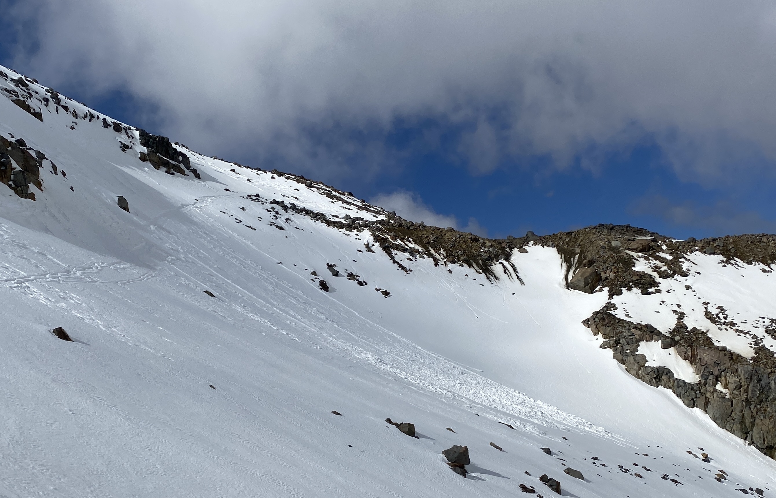
Multiple size 1 natural avalanches have been observed at Whakapapa’s Headwall. These were loose wet events at about 2300 metres.

Current Snowpack Conditions

New snow accumulation is difficult to assess due to wind effects. At 2300 metres (Turoa), 50 cm of wind drift was observed. This can be estimated as 20 to 25 cm of new snow over this past storm cycle. Wet and consolidated mass, which is displaying good bonding to the old snow surface. Rain has continued to impact the snowpack at the lower elevations. Over the past 24 hours, another 5 to 6 mm of rain has been recorded. Saturation of the upper layers has continued, with snowpack erosion and depletion occurring at the lower elevations (below 2000 metres). This is influencing surface structure, with stability being reduced. The deeper supportive snowpack is currently consolidated, with buried crusts contributing to structural integrity. The existing surface crusts in the southwest are robust but are starting to break down with rain saturation. The threshold is rising and is now about 1900 metres in the northwestern areas. Isolated slopes are still at threshold in the southwestern areas at about 1700 metres.

Mountain Weather

Monday the 31st of August will have a few showers, becoming widespread and heavier in the morning, with snow to 1400 metres from the afternoon. The winds are strong to moderate westerly. The freezing level is 2000 metres, lowering to 1700 metres before dawn, then lowering to 1300 metres in the evening. A low to the northeast of the upper North Island moves away to the east of the country today, while a strong, cold and unsettled southwest flow covers New Zealand today and tomorrow.

Sliding Danger

The snowpack has been saturated by recent rain at the lower elevations. With increasing winds and lowering freezing levels, there is a good chance a slick, icy surface crust will develop. Numerous hazards, including exposed rocks and cliff bands, exist. It is recommended to carry an ice axe and crampons when venturing into the backcountry. Having strong alpine skills is essential for navigating over slick surfaces, as the consequences can be severe.

Forecast Confidence

Low

  • We are uncertain about forecast precipitation amounts.
  • We are uncertain if precipitation will fall as rain or snow.

New Zealand Avalanche Advisory (NZ Mountain Safety Council)

Verlauf der Lageberichte

HochWGUnter